The best walks and hikes around Reilhanette
4.5
(1450)
9,612
hikers
225
hikes
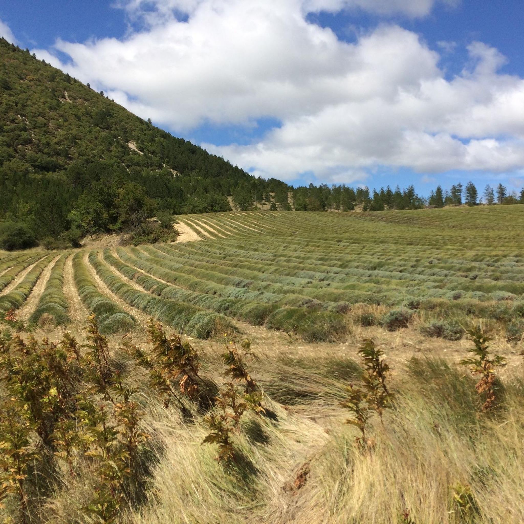
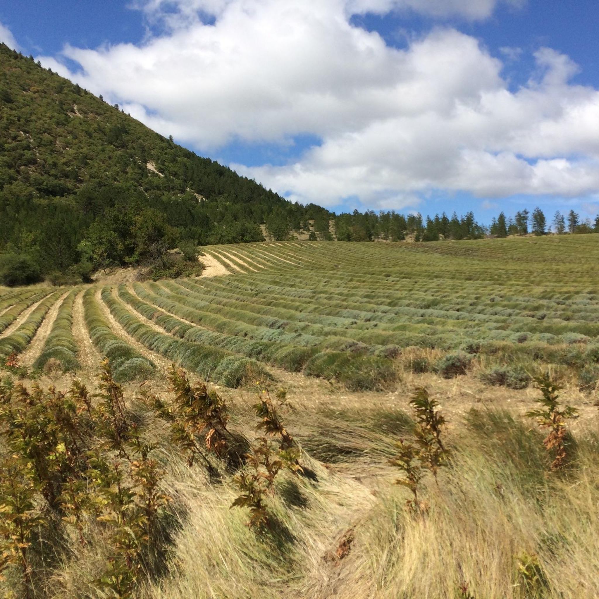
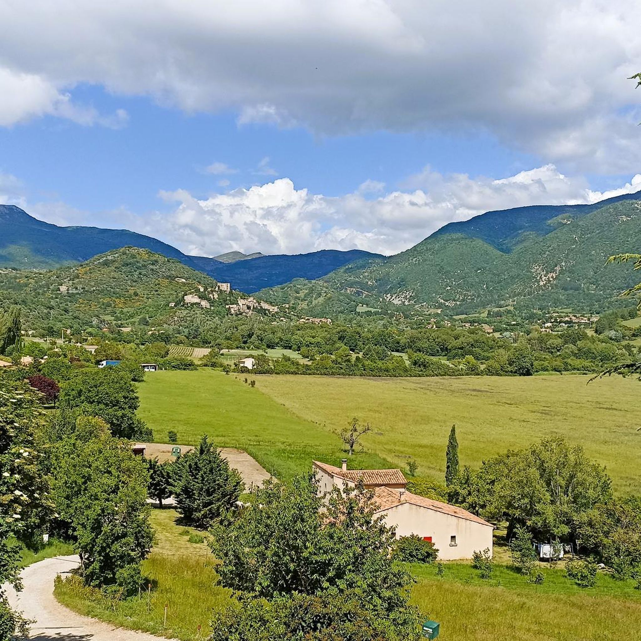
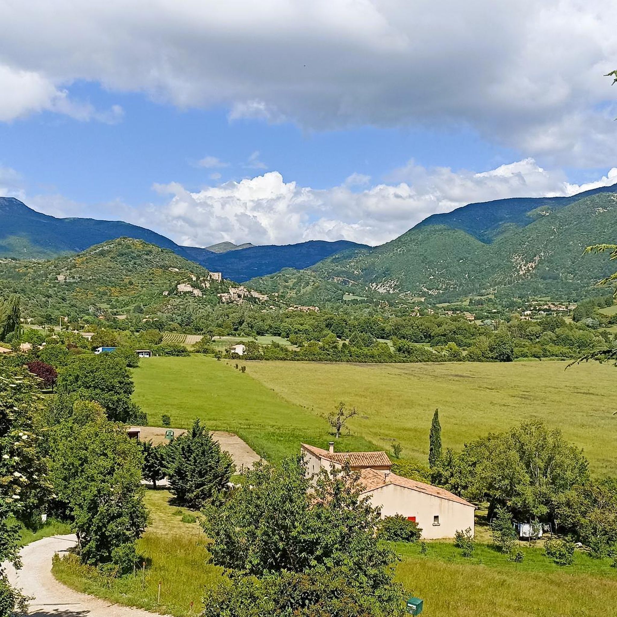
Hiking around Reilhanette offers access to the varied landscapes of the Drôme Provençale region in France. The area is characterized by rolling hills, forested valleys, and open agricultural land, providing diverse terrain for outdoor activities. Trails often follow ancient paths, offering views of the surrounding countryside and traditional villages. The region's geology contributes to a mix of gentle slopes and more challenging ascents.
Best hiking trails around Reilhanette
- The most popular hiking route is Montbrun-les-Bains – Montbrun-les-Bains loop from Montbrun-les-Bains…
Last updated: September 28, 2026
4.5
(15)
68
hikers
9.52km
02:48
260m
260m
Moderate hike. Good fitness required. Easily-accessible paths. Suitable for all skill levels.
4.6
(8)
41
hikers
Easy hike. Great for any fitness level. Easily-accessible paths. Suitable for all skill levels.

4.7
(3)
24
hikers
15.1km
04:44
590m
590m
Moderate hike. Good fitness required. Easily-accessible paths. Suitable for all skill levels.
5.0
(5)
22
hikers
10.3km
03:19
450m
460m
Moderate hike. Good fitness required. Easily-accessible paths. Suitable for all skill levels.
15
hikers
14.5km
04:21
450m
450m
Moderate hike. Good fitness required. Easily-accessible paths. Suitable for all skill levels.
Get access to more routes and recommendations from other explorers.
Already have an account?
Our route recommendations are based on thousands of hikes, rides, and runs completed by other people on komoot.
Start today with a free account
Your next adventure awaits.
Tips from the Community

Very beautiful, old place with a great distant view, including the Ventoux.
0
0


Nice little place with a beautiful view.
0
0

Very beautiful hike with an intermediate level which crosses Reilhanette which climbs a pass with breathtaking views of Montminy Ventoux and descends to Montbrun-les-Bains
0
0

beautiful valley for a return to Vaison la Romaine
0
0

I recommend a little crepe stop in this sumptuous village.
0
0

A very beautiful valley to be appreciated at its true value.
0
0
Frequently Asked Questions
What types of hiking trails can I find around Reilhanette?
Reilhanette offers a diverse range of hiking trails, from easy strolls to more challenging excursions. The landscape features rolling hills, forested valleys, and open agricultural land typical of the Drôme Provençale region. There are over 200 routes available, with 82 easy, 113 moderate, and 20 difficult options to choose from.
Are there any family-friendly hiking routes in Reilhanette?
Yes, Reilhanette has several routes suitable for families. Many of the easy and moderate trails offer gentle terrain and manageable distances. For example, the Montbrun-les-Bains – Montbrun-les-Bains loop from Montbrun-les-Bains is a moderate 4.9-mile (8.0 km) trail that takes about 2 hours 16 minutes, perfect for an active family outing.
Can I find circular hiking routes in the Reilhanette area?
Absolutely. Many of the trails around Reilhanette are designed as circular routes, allowing you to start and end in the same location. A popular option is the Montbrun-les-Bains – Montbrun-les-Bains loop from Reilhanette, a moderate 6.0-mile (9.7 km) path that provides a longer loop connecting Reilhanette with the Montbrun-les-Bains area.
Are there challenging hikes for experienced trekkers near Reilhanette?
Yes, for those seeking a greater challenge, Reilhanette offers several difficult routes. One notable option is The Toulourenc Valley – Montbrun-les-Bains loop from Montbrun-les-Bains, which spans 11.2 miles (18.0 km) and involves significant elevation changes, typically taking over 5 hours to complete.
What are some interesting places to explore or landmarks to see while hiking?
The region around Reilhanette is rich in natural beauty and historical sites. Hikers can explore highlights such as the iconic Mont Ventoux summit, the scenic Pass of Storms, or the charming settlement of Sault. These attractions offer diverse points of interest along or near many trails.
What is the best time of year to go hiking in Reilhanette?
The best time to hike in Reilhanette is typically during spring (April to June) and autumn (September to October). During these seasons, the weather is mild and pleasant, with comfortable temperatures for walking. Summers can be very hot, especially in July and August, while winters are generally mild but can have occasional rain or snow at higher elevations.
Are there any hikes that feature water elements like rivers or wild swimming spots?
While specific wild swimming spots are not explicitly detailed in the route descriptions, the region is known for its natural beauty, including the Toulourenc Valley. This area, featured in routes like The Toulourenc Valley – Montbrun-les-Bains loop, is known for its river, which offers opportunities for refreshing dips in warmer months, though conditions can vary.
What do other hikers say about the trails in Reilhanette?
The hiking trails in Reilhanette are highly regarded by the komoot community, holding an average rating of 4.6 stars from over 1,100 reviews. Hikers often praise the varied terrain, the beautiful views of the Drôme Provençale, and the well-maintained paths that cater to different skill levels.
Are there any longer day hikes available in Reilhanette?
Yes, for those looking for a full day out, there are longer routes. The Brantes – Brantes Village loop from Savoillan is a substantial 9.4-mile (15.1 km) trail that leads through varied terrain and typically takes around 4 hours 44 minutes to complete, offering a rewarding longer hike.
Are there any hikes that pass through or near villages where I can find refreshments?
Many routes in the Reilhanette area connect to or pass near traditional villages like Montbrun-les-Bains and Savoillan. These villages often provide opportunities for refreshments, including local cafés or small shops, allowing hikers to take a break and refuel. For instance, the Savoillan Village – Arts and Nature Trail loop from Savoillan starts and ends in a village, making it convenient for pre- or post-hike amenities.
What should I wear for hiking in Reilhanette during spring?
In spring, Reilhanette's weather can be variable. It's best to dress in layers, including a breathable base layer, a fleece or mid-layer for warmth, and a waterproof and windproof outer shell. Comfortable hiking boots are essential, and a hat and sunglasses are advisable for sun protection. Always carry enough water, as temperatures can rise quickly.
Most popular routes around Reilhanette
Most popular attractions around Reilhanette

Get inspired with the komoot mobile app


Explore more
Browse the best Hikes in other regions.
