The best walks and hikes around Lespinassière
4.5
(312)
1,827
hikers
154
hikes
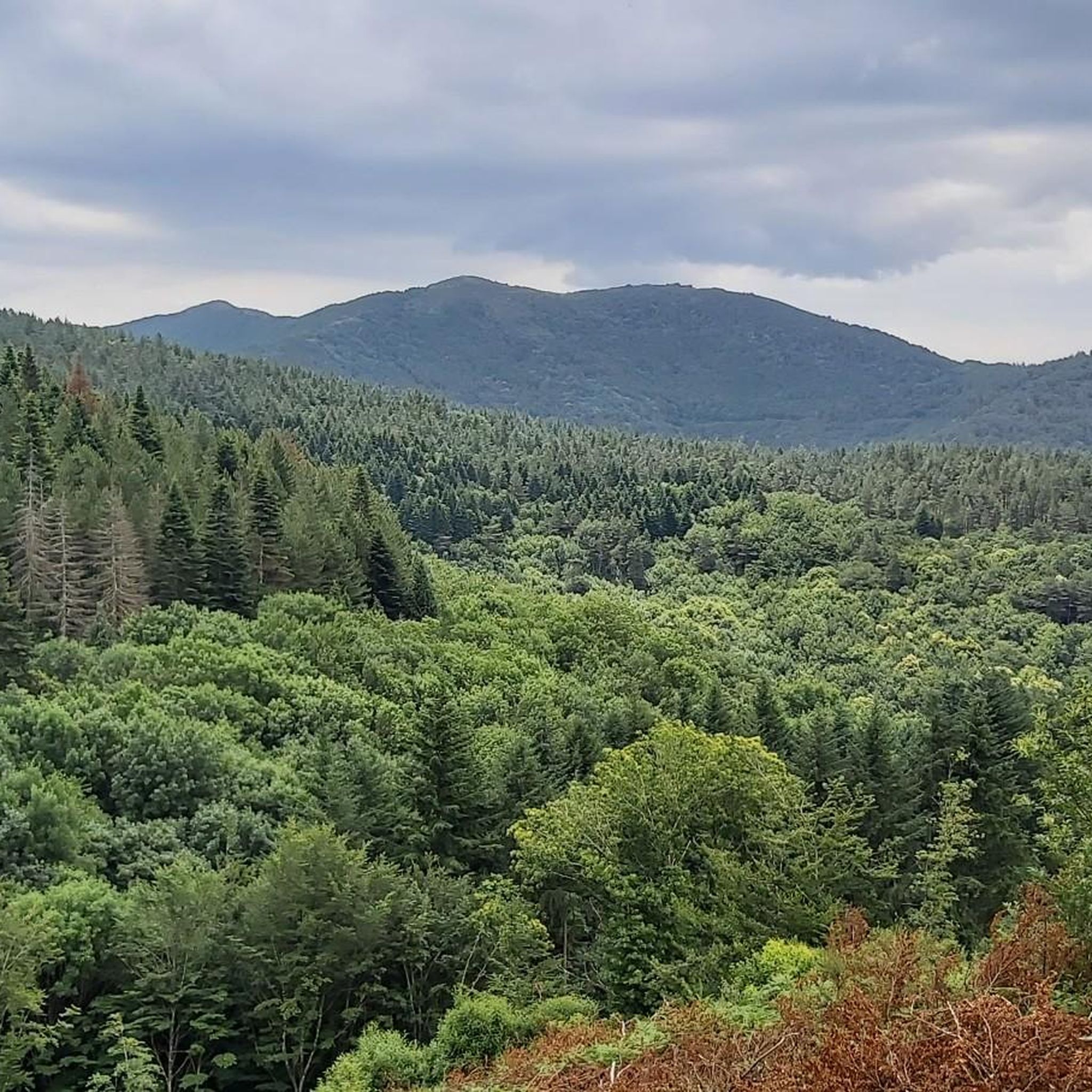
Hiking around Lespinassière offers diverse landscapes within the Aude department of the Occitania region. The area is situated within the Montagne Noire, characterized by hills, forests, and valleys such as the "haute vallée de l'Argent Double." As part of the Haut-Languedoc regional natural park and the Natura 2000 network, the region features preserved natural environments and varied terrains for outdoor activities. Altitudes range from 416 to 1045 meters, providing a mix of elevations for hikers.
Best hiking trails around Lespinassière
…Last updated: September 28, 2026
5.0
(1)
5
hikers
21.0km
06:50
930m
940m
Hard hike. Very good fitness required. Sure-footedness, sturdy shoes and alpine experience required.
4.0
(1)
2
hikers
14.5km
04:17
420m
420m
Moderate hike. Good fitness required. Mostly accessible paths. Sure-footedness required.

5.0
(7)
27
hikers
12.5km
03:37
320m
320m
Moderate hike. Good fitness required. Easily-accessible paths. Suitable for all skill levels.
3.8
(4)
28
hikers
15.5km
04:46
570m
560m
Moderate hike. Good fitness required. Easily-accessible paths. Suitable for all skill levels.
5.0
(3)
7
hikers
23.9km
07:12
740m
740m
Hard hike. Very good fitness required. Sure-footedness, sturdy shoes and alpine experience required.
Get access to more routes and recommendations from other explorers.
Already have an account?
Our route recommendations are based on thousands of hikes, rides, and runs completed by other people on komoot.
Start today with a free account
Your next adventure awaits.


Other adventures around Lespinassière

Tips from the Community

Passing the mountain pass between Aude and Hérault
0
0

Save your energy for the last 5km, be careful when it's windy.
0
0

We like to compare, the Pic de Nore is a small Ventoux, its climbs from Mazamet or Villeneuve-Minervois are not as steep as that of the Ventoux from Bédoin but they still have to be earned. They are 17 and 22 km respectively, have an average gradient of 5.5% and 4.56%, with a maximum gradient of 11.8% and 10%. For my part, I chose to join Pradelles-Cabardès via the forests from Limousis, passing in particular the Soulanes de Nore, I was treated to some good slopes with a double-digit percentage ... Two legends would explain its name: in the first it is the fairy Nore who, annoyed by the damage caused to the crops by the Cers wind, would have planted her pike in the ground there, and as if by magic the rocks would have accumulated around to form the Pique de Nore. In the second, the wind of Cers is still blamed for its damage to human crops, not only there, and it is Nore, Bug and Arach who went to complain to Jupiter. Jupiter does not like to be disturbed, he transformed Nore into a mountain and Bug and Arach into the summit of Bugarach ...
3
0


Very nice walk, varied nature, beautiful view, very pretty heather ☺️ Partially shaded.
1
1

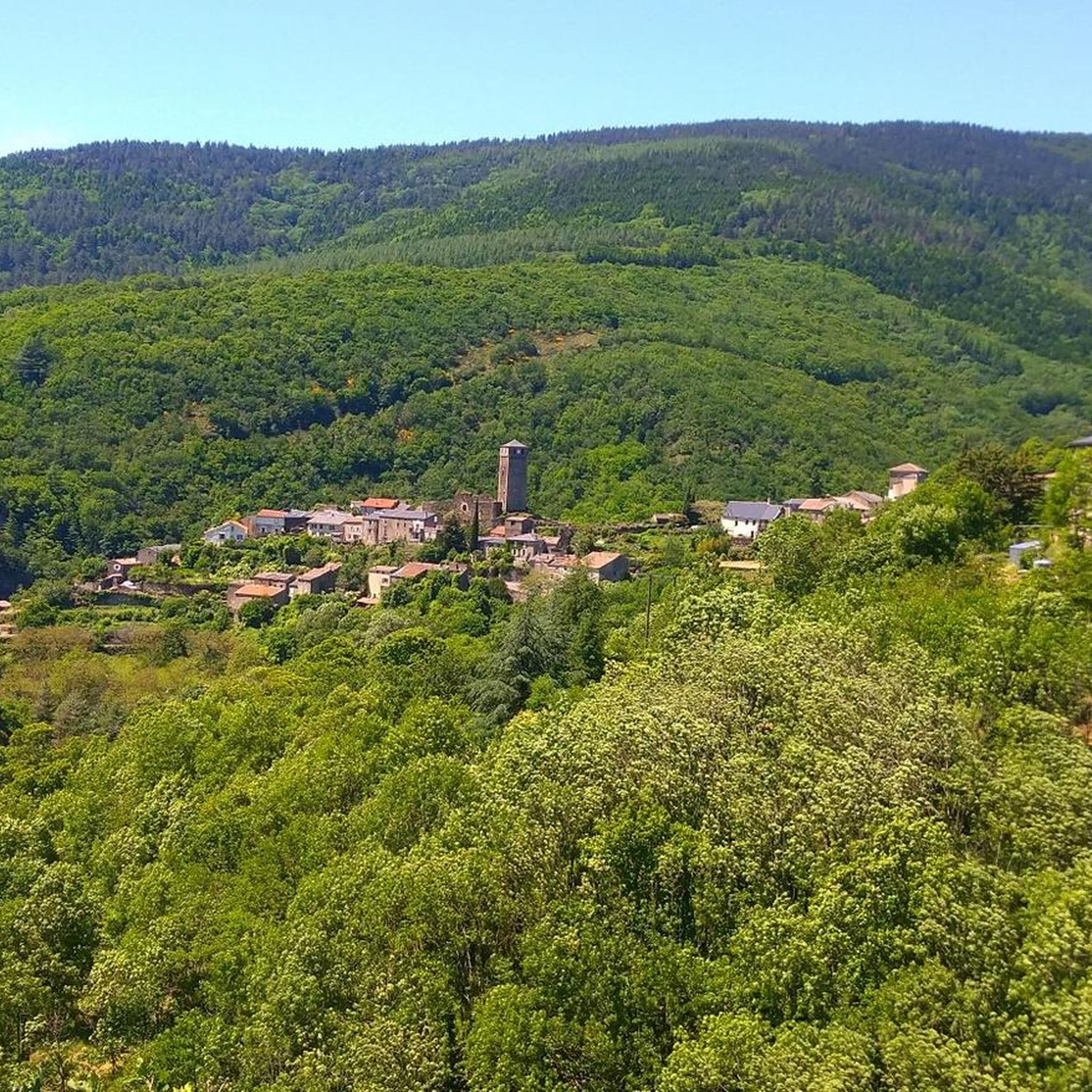
This charming village of 150 souls is located in the Causses du Minervois. They themselves are included within the Haut-Languedoc regional natural park. The municipality is fortunate, due to the quality of its natural areas of ecological, fauna and flora interest, to be part of the Natura 2000 network.
0
1
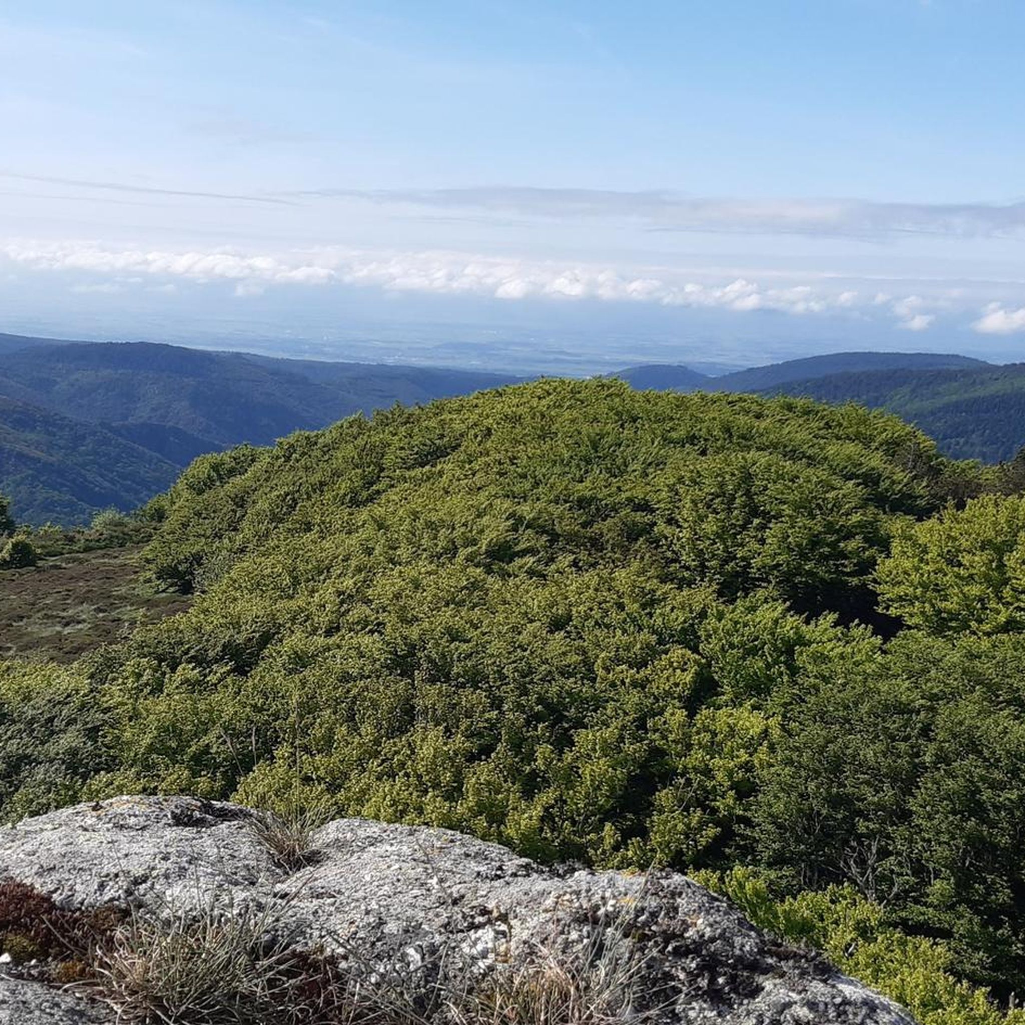
Despite its low altitude (only 1,211 meters), the Pic de Nore, located in the Aude department and the highest point of the Montagne Noire, can experience extremely harsh weather conditions. You can't miss its imposing red and white television antenna.
0
0

Small lake created in 1973 as a reserve for fire fighting. It offers a pleasant site near the Pic de Nore.
1
0
Frequently Asked Questions
How many hiking trails are available around Lespinassière?
There are over 140 hiking routes available around Lespinassière, catering to various skill levels. You'll find a good mix, with approximately 37 easy, 83 moderate, and 26 difficult trails to explore.
What do other hikers say about the trails in Lespinassière?
The hiking trails in Lespinassière are highly regarded by the komoot community, boasting an average rating of 4.5 stars from over 260 reviews. Hikers often praise the diverse landscapes, from the hills of the Montagne Noire to the quiet woodlands and valleys, as well as the well-preserved natural environments within the Haut-Languedoc regional natural park.
What natural features or landscapes can I expect to see while hiking in Lespinassière?
Lespinassière is nestled within the Montagne Noire, offering a landscape of rolling hills, dense forests, and picturesque valleys like the 'haute vallée de l'Argent Double'. As part of the Haut-Languedoc regional natural park and the Natura 2000 network, you'll encounter pristine natural environments and rich biodiversity. Expect varied terrains, from gentle strolls through woodlands to more elevated points providing expansive views.
Are there easy hiking options suitable for beginners in Lespinassière?
Yes, Lespinassière offers several easy hiking options perfect for beginners or those looking for a leisurely stroll. One such trail is Les Pierres Blanches et la Bourasse – loop from Col de Salettes, which is a moderate 9.0 miles (14.5 km) path exploring natural features and woodlands. Another easy option mentioned in the region research is 'La boucle du Lauzet', a 4.7 km trail ideal for a relaxed hike.
Can I find challenging hikes with significant elevation gain in the area?
Absolutely. For experienced hikers seeking a challenge, Lespinassière provides routes with significant elevation changes. A notable difficult route is Roc de Peyremaux - Les Villages Perchés – loop from Lespinassière, which is 13.0 miles (21.0 km) long with over 900 meters of ascent, exploring elevated points and offering expansive views. Another challenging option is Pradelles-Cabardès – Pic de Nore loop from Castans, a 24.4 km route with over 700 meters of elevation gain.
Are there any notable attractions or landmarks to visit near the hiking trails?
Yes, beyond the trails, the area around Lespinassière offers cultural and natural points of interest. You can visit the 12th-century Romanesque Notre-Dame du Cros Church in Caunes-Minervois, known for its Baroque altarpiece. The Pic de Nore offers panoramic views, and the charming village of Ferrals-les-Montagnes is also part of the Natura 2000 network. Additionally, a beautiful section of the Passa Païs greenway is accessible for various outdoor pursuits.
Are the hiking trails around Lespinassière suitable for families with children?
Many trails in Lespinassière are suitable for families, especially the easier and moderate routes. The diverse landscapes and natural features provide an engaging environment for children. For a leisurely option, consider 'La boucle du Lauzet', an easy 4.7 km trail. Always check the specific trail details for length and elevation to ensure it matches your family's capabilities.
Can I bring my dog on the hiking trails in Lespinassière?
Yes, dogs are generally permitted on many trails in the Lespinassière area. For example, the 'Piste de Lespinassière', a 12 km multi-use trail near Citou, explicitly allows dogs, provided they are on a leash. It's always a good practice to keep your dog under control and check specific trail regulations before heading out.
Are there any circular hiking routes around Lespinassière?
Yes, Lespinassière offers several circular hiking routes. Popular options include Salettes Pass – View of the Montagne Noire loop from Col de Salettes, a 7.9 miles (12.7 km) trail, and Ferrals-les-Montagnes – Ferrals-les-Montagnes loop from Ferrals-les-Montagnes, which is 15.5 km long. These loops allow you to start and end at the same point, making logistics easier.
Where can I find parking for hiking trails near Lespinassière?
Parking is generally available at or near the trailheads for many routes in the Lespinassière area. For routes starting from specific points like Col de Salettes, you can usually find designated parking. For trails originating directly from Lespinassière or nearby villages, local parking facilities are typically available. It's advisable to check the starting point of your chosen route for specific parking information.
What is the Passa Païs greenway, and can I hike on it?
The Passa Païs greenway is a beautiful section of a former railway line that has been converted into a multi-use path. It offers a tree-lined course suitable for various outdoor activities, including hiking, cycling, and e-biking. A section of this greenway is accessible near Lespinassière, providing a pleasant and relatively flat option for walkers.
What is the best time of year to go hiking in Lespinassière?
The region around Lespinassière, being part of Occitania, generally offers pleasant hiking conditions from spring through autumn. Spring brings blooming flora, while autumn showcases vibrant fall colors. Summers can be warm, so early morning or late afternoon hikes are recommended during this season. Winters are milder but some higher elevation trails might be less accessible depending on conditions.
Are there places to eat or stay overnight near the hiking routes?
Yes, Lespinassière and its surrounding villages offer options for dining and accommodation. You can find local cafes and restaurants in villages like Lespinassière and Ferrals-les-Montagnes. For overnight stays, there are gîtes (holiday cottages) and chambres d'hôtes (bed and breakfasts) available, providing a charming base for exploring the hiking trails.
Most popular attractions around Lespinassière

Get inspired with the komoot mobile app


Explore more
Browse the best Hikes in other regions.
