The best running trails around Beauvoisin
4.4
(88)
2,933
runners
211
runs
Jogging routes around Beauvoisin France offer a diverse landscape for runners, situated in the heart of the Camargue gardoise. This region features distinctive wetlands, flat and scenic routes around ponds, and natural reserves. To the north, the Costières de Nîmes provides undulating terrain with vineyards and garrigue, offering varied running challenges. The area combines natural beauty with proximity to historical sites, making it suitable for combining exercise with cultural exploration.
Best jogging routes around Beauvoisin
- The most popular jogging route…
Last updated: May 18, 2026
5.0
(3)
81
runners
15.9km
02:05
550m
550m
Hard run. Very good fitness required. Mostly paved surfaces. Suitable for all skill levels.
3.0
(1)
9
runners
11.3km
01:15
260m
250m
Moderate run. Good fitness required. Mostly paved surfaces. Suitable for all skill levels.

Sign up for free
10
runners
Hard run. Very good fitness required. Sure-footedness, sturdy shoes and alpine experience required.
5
runners
6.61km
00:46
110m
110m
Moderate run. Good fitness required. Mostly paved surfaces. Suitable for all skill levels.
5.0
(1)
6
runners
8.32km
01:11
360m
350m
Hard run. Very good fitness required. Mostly paved surfaces. Suitable for all skill levels.
Get access to more routes and recommendations from other explorers.
Sign up for free
Already have an account?
Our route recommendations are based on thousands of hikes, rides, and runs completed by other people on komoot.
Start today with a free account
Your next adventure awaits.
Login or Signup
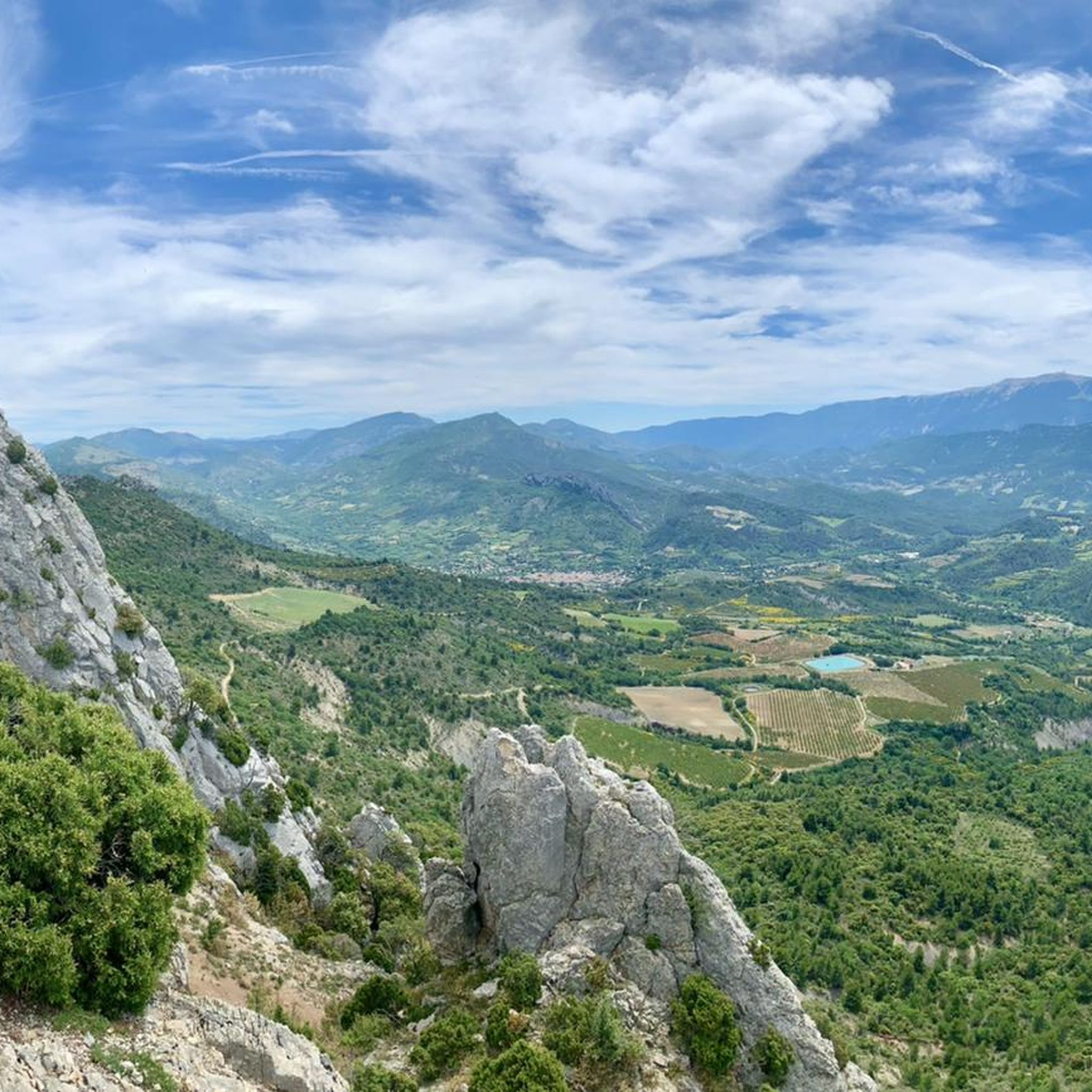

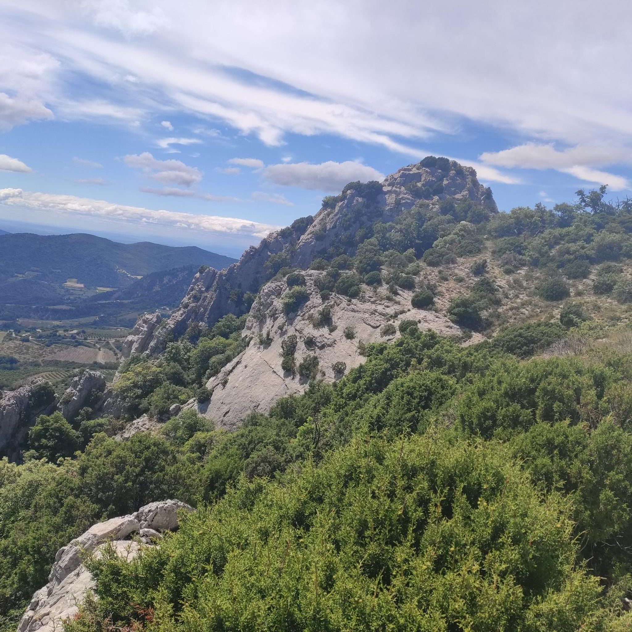

Tips from the Community


Nice road through the small gorge
1
0

Take your time and enjoy the climb/descen on the Southern side. Amazing gorge and nice flowing road
1
0
Small, fine road through the Gorges
1
0

After a hike on the heights around Buis-les-Baronnies, this is an ideal place to cool off. Even if there are a lot of people, it is possible to land in a pleasant corner.
2
0
Listed natural site 3km from the village, accessible by a path or by the D546. Ideal place for picnicking, relaxing by the water and practicing climbing on the many routes. Pedestrian path, car park and dry toilets.
1
0

The Col de Propriac from Propiac is 6.9 km long with a total drop of 241 m. The average gradient is 3.49% with maximum gradients of 8.5%.
4
0
Frequently Asked Questions
How many running routes are available around Beauvoisin?
There are over 200 running routes around Beauvoisin, offering a wide variety of options for all skill levels. You'll find everything from easy jogs to challenging trails.
What kind of terrain can I expect on running routes near Beauvoisin?
The Beauvoisin area offers diverse terrain. To the south, the Camargue gardoise features flat, scenic routes through wetlands and around ponds, ideal for tranquil runs. To the north, the Costières de Nîmes provides more undulating landscapes with vineyards and garrigue, offering varied challenges and picturesque views.
Are there any easy running routes suitable for beginners in Beauvoisin?
Yes, Beauvoisin has 17 easy running routes perfect for beginners or those looking for a relaxed jog. These routes often traverse the flatter wetland paths of the Camargue gardoise, providing a gentle introduction to the area's natural beauty.
Can I find longer distance running trails in the Beauvoisin area?
Absolutely. For longer distances, consider routes like the Joli chemin ombragé – Steep hard Uphill loop from Buis-les-Baronnies, which covers nearly 16 km. There are 82 difficult and 103 moderate routes available, many offering significant distances for endurance training.
What do other runners say about the trails in Beauvoisin?
The running routes in Beauvoisin are highly rated by the komoot community, with an average score of 4.4 stars from over 80 reviews. Runners often praise the varied terrain, from flat wetland paths to undulating vineyard trails, and the opportunity to combine exercise with exploration of the rich French landscape.
Are there circular running routes available in Beauvoisin?
Yes, many routes around Beauvoisin are circular, allowing you to start and finish in the same location. An example is the Col de la Croix loop from Beauvoisin, which is a popular 8.3 km trail offering varied terrain and a significant climb.
What interesting landmarks or natural features can I see along the running routes?
While jogging, you can encounter diverse natural features like the wetlands and ponds of the Camargue gardoise, or the vineyards and garrigue of the Costières de Nîmes. You might also pass by highlights such as the Scenic Road Between Malaucène and Veaux or the Col de Fontaube - Scenic route. The area's proximity to Nîmes also means you're near impressive Roman heritage.
Are there any running routes that offer scenic views?
Many routes provide scenic views, especially those traversing the Costières de Nîmes with its vineyards and garrigue. The Scenic route to Propiac – Propiac Pass loop from Propiac is specifically highlighted for its scenic vistas as it crosses the Propiac Pass.
Can I find challenging running trails with significant elevation gain?
For a challenging run with notable elevation gain, consider routes like the Joli chemin ombragé – Steep hard Uphill loop from Buis-les-Baronnies, which features over 540 meters of ascent. The Col de la Croix loop from Beauvoisin also includes a significant climb.
Are there any specific nature reserves or parks I can run through?
Yes, the Centre de découverte du Scamandre, a nature reserve spanning 215 hectares southwest of the Étang du Scamandre, features paved trails suitable for jogging. This allows you to explore the unique flora and fauna of the Camargue gardoise while running.
What is the best time of year for running in Beauvoisin?
Beauvoisin benefits from a Mediterranean climate. Spring and autumn generally offer the most pleasant temperatures for running, avoiding the peak heat of summer. However, the diverse terrain means you can find suitable routes year-round, with shaded paths available for warmer days and flatter routes for cooler conditions.
Are there any routes that pass through or near historical sites?
While Beauvoisin itself has historical structures like the Town Hall and Protestant Temple, its proximity to Nîmes means you can combine your run with cultural exploration. Nîmes boasts impressive Roman heritage, including the Amphitheatre and Maison Carrée, which could be incorporated into longer routes or visited post-run.
Most popular routes around Beauvoisin
Most popular attractions around Beauvoisin

Get inspired with the komoot mobile app


Explore more
Browse the best Running Trails & Routes in other regions.
