The best running trails around Avressieux
4.1
(92)
3,616
runners
252
runs
Jogging around Avressieux offers diverse terrain within the Savoie department, situated in the Auvergne-Rhône-Alpes region of France. The area is characterized by its proximity to the French Alps, providing varied landscapes from moderate hills to expansive natural parks. Joggers can expect routes that traverse both paved paths and natural trails, often featuring moderate elevation gains. This region provides a compelling setting for outdoor activities, with a mix of natural beauty and accessible routes.
Best jogging routes around Avressieux
- The most…
Last updated: November 1, 2026
16
runners
7.60km
00:48
100m
100m
Moderate run. Good fitness required. Mostly paved surfaces.
9
runners
4.60km
00:36
150m
150m
Moderate run. Good fitness required. Mostly paved surfaces.

7
runners
15.8km
01:55
480m
480m
Hard run. Very good fitness required. Mostly runnable paths. Some sure-footedness required.
6
runners
22.5km
02:47
780m
780m
Hard run. Very good fitness required. Mostly runnable paths. Some sure-footedness required.
6
runners
16.3km
01:46
150m
150m
Hard run. Very good fitness required. Mostly paved surfaces.
Get access to more routes and recommendations from other explorers.
Already have an account?
Our route recommendations are based on thousands of hikes, rides, and runs completed by other people on komoot.
Start today with a free account
Your next adventure awaits.
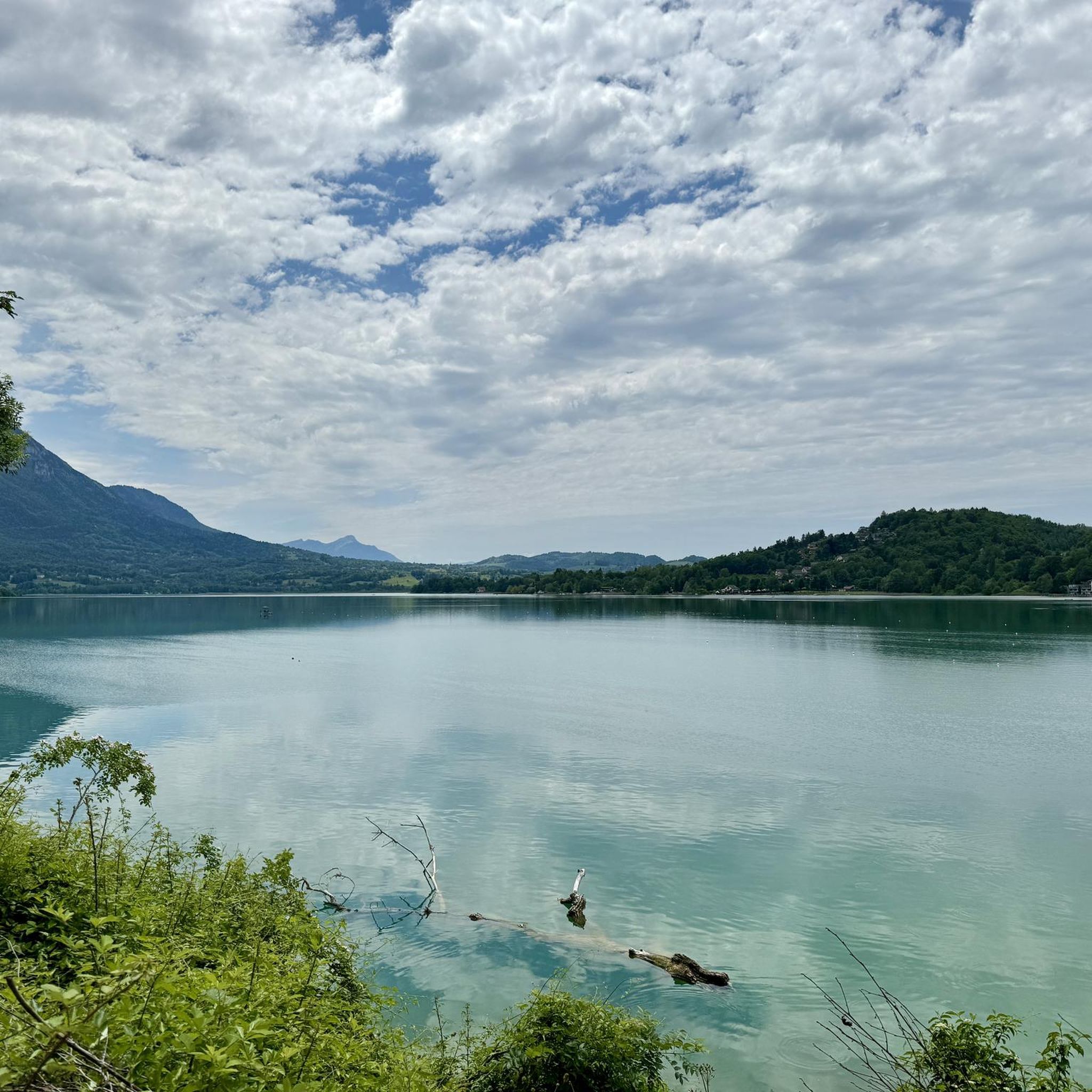
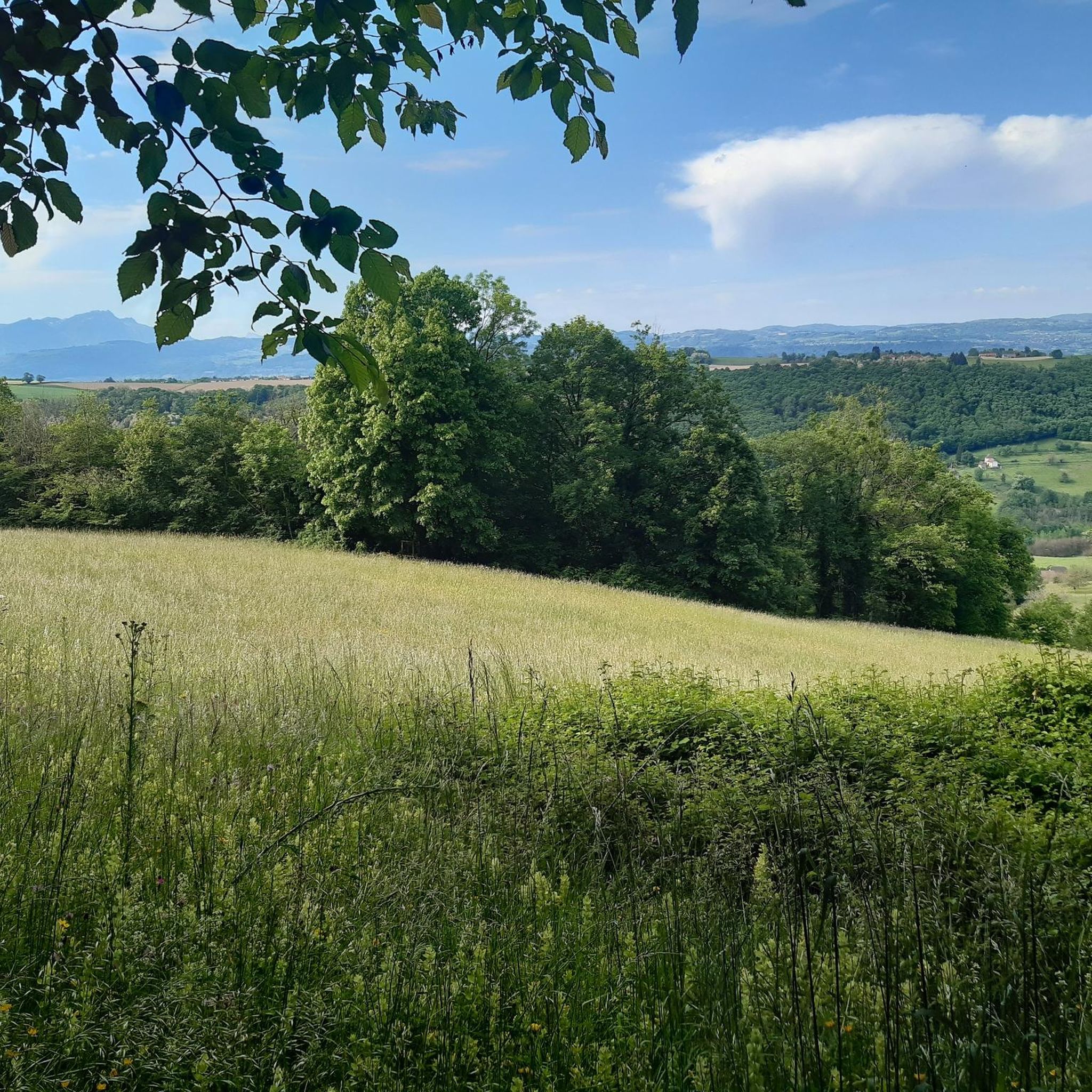

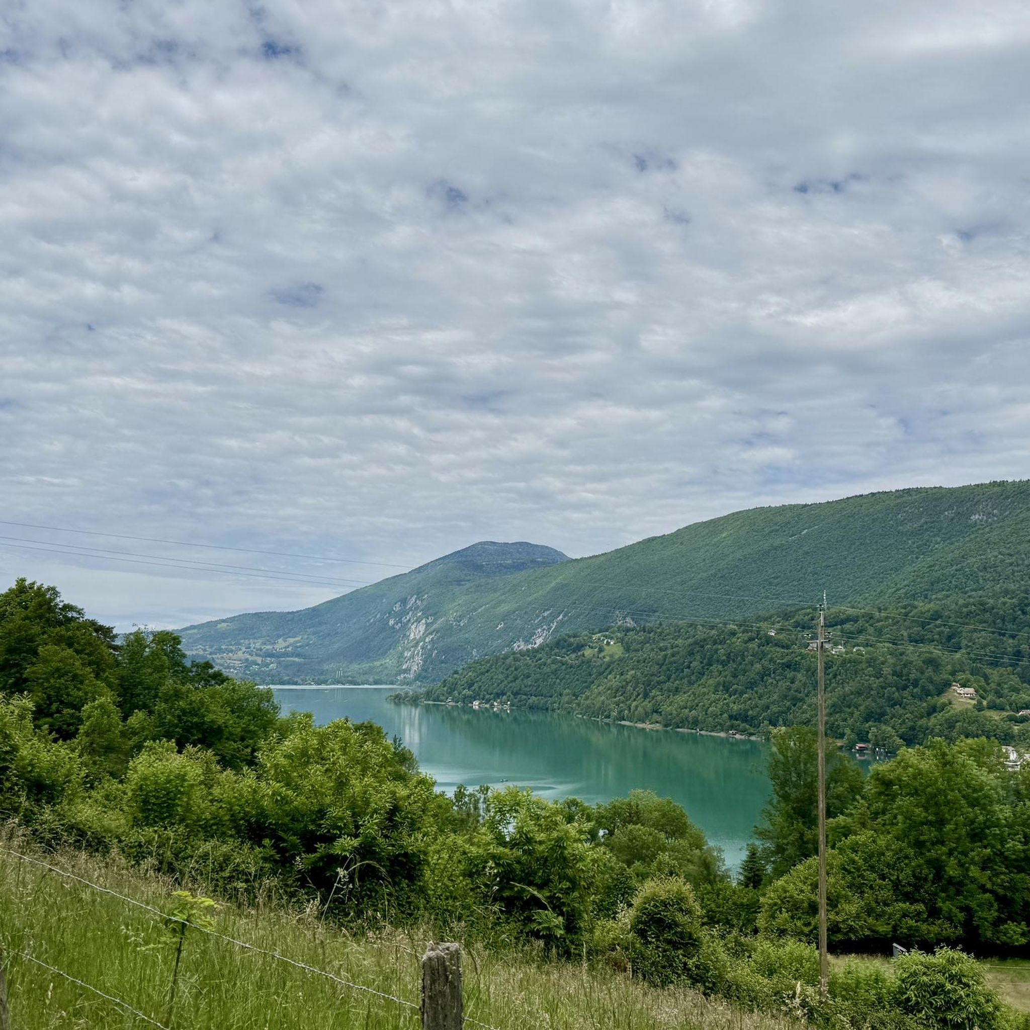

Tips from the Community

The trail runs along the Guiers river to its confluence with the Rhône, on the edge of Savoie.
0
0
Col de la Lattaz is a mountain pass located at an altitude of 754 meters in the Savoie department, in the heart of the Avant-Pays savoyard. Although it is administratively located in Savoie, it geologically belongs to the Jura Massif. It is a popular spot for cyclists and hikers for its rural landscapes and its numerous access variants.
0
0
For a long time, this bridge marked the political border between the Kingdom of France (Dauphiné side) and the States of Savoy. In 1822, a border stone (stone no. 5) had been set in its center to demarcate the two territories. This historic stone has since been moved to the Place des Tilleuls in the village, where it serves as a fountain.
0
0

The Col du Banchet is a mountain pass located at an altitude of 590 m in the Mont Tournier range, south of the Jura massif, in the Savoyard Avant-Pays, in the Savoie department.
2
0
Very pretty spot with these water currents.
0
0

From Rochefort, the Col du Banchet climbs in a bend with a fairly steep passage on the first part. The view rewards the efforts made to get there.
3
0
The Col de la Lattaz offers beautiful views. Located at an altitude of 754 meters, the climb from the Mont Tournier pass is rather gradual. The road continues around the summit of Mount Chaffaron.
1
0

A nice road to pass. By this pass on the other hand, in winter it does not seem to be cleared of snow. With a mountain bike it's hot, on the road it's dead.
1
0
Frequently Asked Questions
How many running routes are available around Avressieux?
The Avressieux area offers a wide selection of running routes, with over 190 trails available. These routes cater to various fitness levels, ranging from easy loops to more challenging paths through the mountainous terrain.
Are there easy running routes suitable for beginners in Avressieux?
Yes, Avressieux has a good selection of easy running routes perfect for beginners or those looking for a lighter workout. There are 21 routes specifically categorized as easy, offering gentle ascents and scenic views without excessive challenge.
Can I find challenging running trails near Avressieux?
Absolutely. For experienced runners seeking a more demanding workout, there are 38 difficult running routes around Avressieux. These trails often feature significant elevation gains and varied terrain, such as the Running loop from Romagnieu, which covers nearly 16 km with considerable ascent.
Are there any circular running routes in the Avressieux area?
Many of the running routes in Avressieux are circular, allowing you to start and finish at the same point. For example, the popular Running loop from Belmont-Tramonet is a 7.6 km circular trail, and the Running loop from Domessin offers a 10 km loop with gentle ascents.
What kind of scenery can I expect on running routes around Avressieux?
Running routes around Avressieux offer diverse and picturesque scenery. You can expect views of the French Alps, including distant peaks like Mont Granier, and serene natural parks such as Chartreuse and Massif des Bauges. Many trails traverse a mix of paved paths and natural surfaces, often providing panoramic vistas of the surrounding countryside and glimpses of local flora and fauna.
Are there any viewpoints along the running trails in Avressieux?
Yes, the region around Avressieux is known for its stunning natural beauty, and several running routes offer access to impressive viewpoints. You might encounter spots like the Voues de l'Épine Viewpoint or enjoy views of Lac d'Aiguebelette from locations such as the View of Lac d'Aiguebelette from Saint-Alban-de-Montbel Church. The Belvédère du Grand Bec loop from Dullin is another route likely to offer scenic overlooks.
What do other runners say about the trails in Avressieux?
The running trails in Avressieux are highly regarded by the komoot community, holding an average rating of 4.1 stars from over 70 reviews. Runners often praise the varied terrain, the beautiful natural surroundings, and the well-maintained paths that make for an enjoyable experience.
Are there running routes that pass by lakes or water features?
While Avressieux itself is not directly on a major lake, its proximity to several beautiful lakes means you can find routes that offer views or access to water features. Notable lakes in the wider region include Lac d'Aiguebelette and Lac de Barterand, which provide serene backdrops for running. Some routes may offer distant views of these lakes or pass through areas with smaller streams.
What are some notable natural features or landmarks I might encounter while running?
Beyond the stunning mountain views, you might encounter several natural landmarks. The region is dotted with mountain passes like Épine Pass and Col du Banchet, which are often part of running routes. The nearby regional natural parks, Chartreuse and Massif des Bauges, are rich in diverse flora and fauna, offering opportunities to observe wildlife in their natural habitats.
Is Avressieux a good place for running year-round?
Avressieux offers excellent running opportunities for much of the year, particularly from spring through autumn when the weather is mild and the natural landscapes are vibrant. While the mountainous terrain can present challenges in winter due to snow or ice, many lower-elevation or paved routes may still be accessible. It's always advisable to check local conditions and weather forecasts, especially during colder months.
Are there any running routes suitable for families with children?
Many of the easier and moderate routes around Avressieux, particularly those with predominantly paved paths and gentle elevation, can be suitable for families. These routes allow for a pleasant outing where children can also enjoy the outdoors. The 4.6 km Col du Banchet loop from Ayn, with its varied terrain and moderate hills, could be a good option for active families.
Most popular routes around Avressieux
Most popular attractions around Avressieux

Get inspired with the komoot mobile app


Explore more
Browse the best Running Trails & Routes in other regions.
