The best road cycling routes around Lautenbach
4.6
(740)
20,137
riders
151
rides
Road cycling around Lautenbach is characterized by significant elevation changes and mountainous terrain, offering challenging ascents and descents. The region features prominent mountain passes and traverses forested slopes and open mountain landscapes, providing a diverse environment for road cyclists. Routes often meander through idyllic vineyards and charming villages in the Renchtal valley, which features expansive orchards and rolling hills. Lautenbach serves as a gateway to the Black Forest, offering challenging mountain passages and routes along the Black Forest High Road.
…Last updated: November 5, 2026
4.7
(41)
839
riders
68.0km
03:57
1,690m
1,690m
Hard road ride. Very good fitness required. Mostly well-paved surfaces and easy to ride.
5.0
(8)
192
riders
49.4km
03:06
1,010m
1,010m
Hard road ride. Very good fitness required. Some segments of this route may be unpaved and difficult to ride.

4.7
(6)
158
riders
33.0km
01:39
530m
530m
Moderate road ride. Good fitness required. Mostly well-paved surfaces and easy to ride.
4.3
(4)
60
riders
54.1km
03:25
1,430m
1,430m
Hard road ride. Very good fitness required. Some segments of this route may be unpaved and difficult to ride.
4.2
(5)
52
riders
27.7km
01:13
280m
280m
Easy road ride. Mostly well-paved surfaces and easy to ride.
Get access to more routes and recommendations from other explorers.
Already have an account?
Our route recommendations are based on thousands of hikes, rides, and runs completed by other people on komoot.
Start today with a free account
Your next adventure awaits.
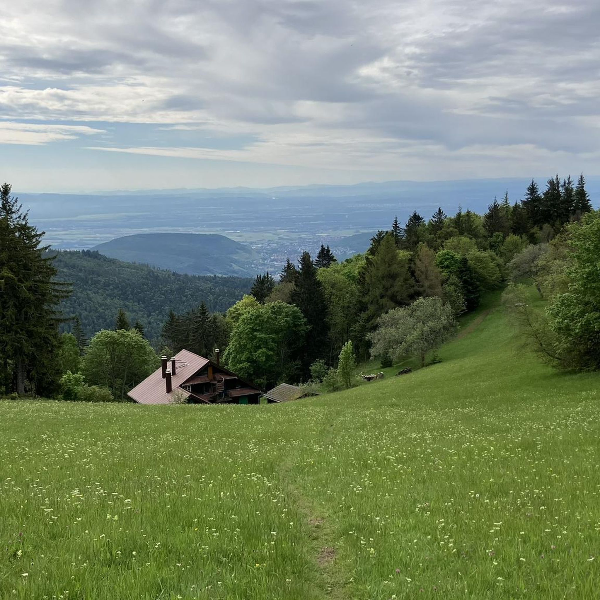
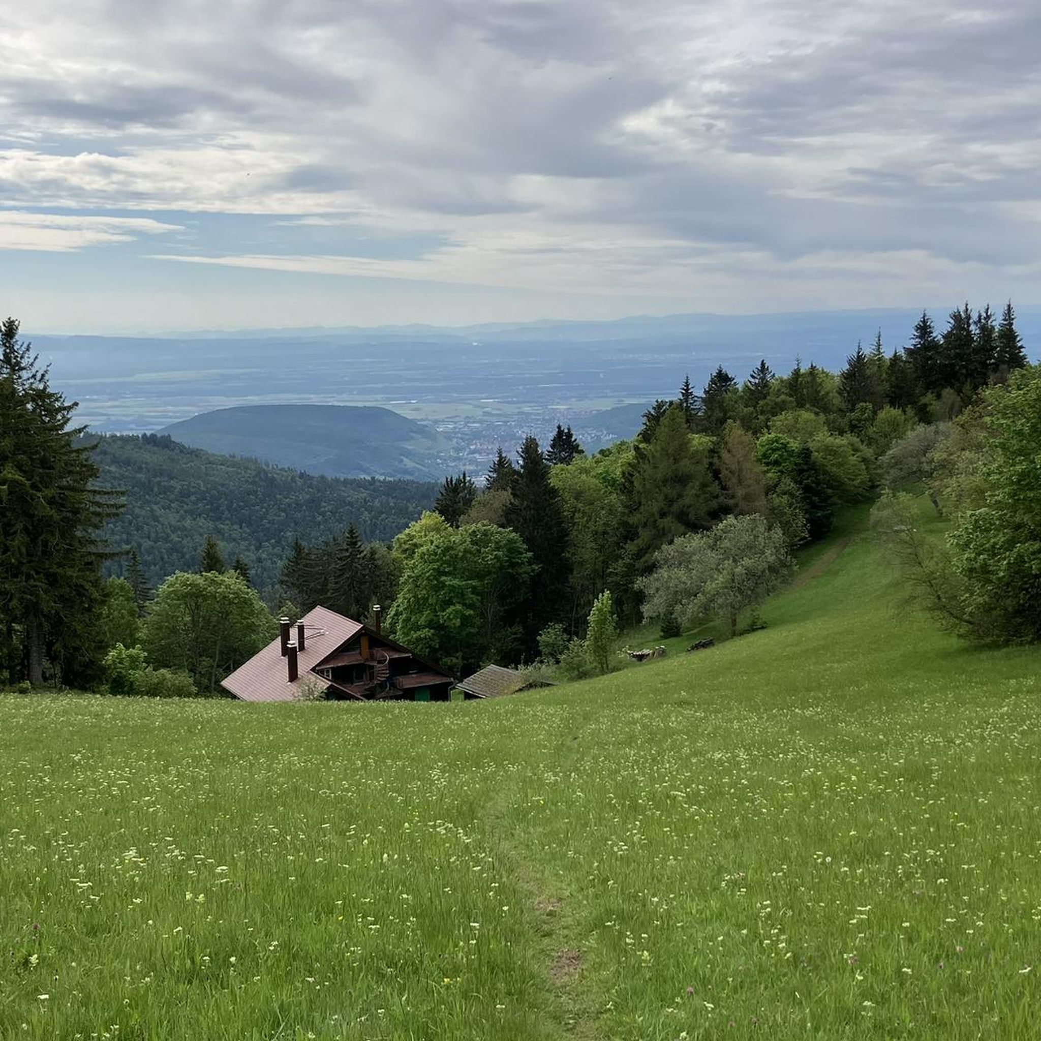
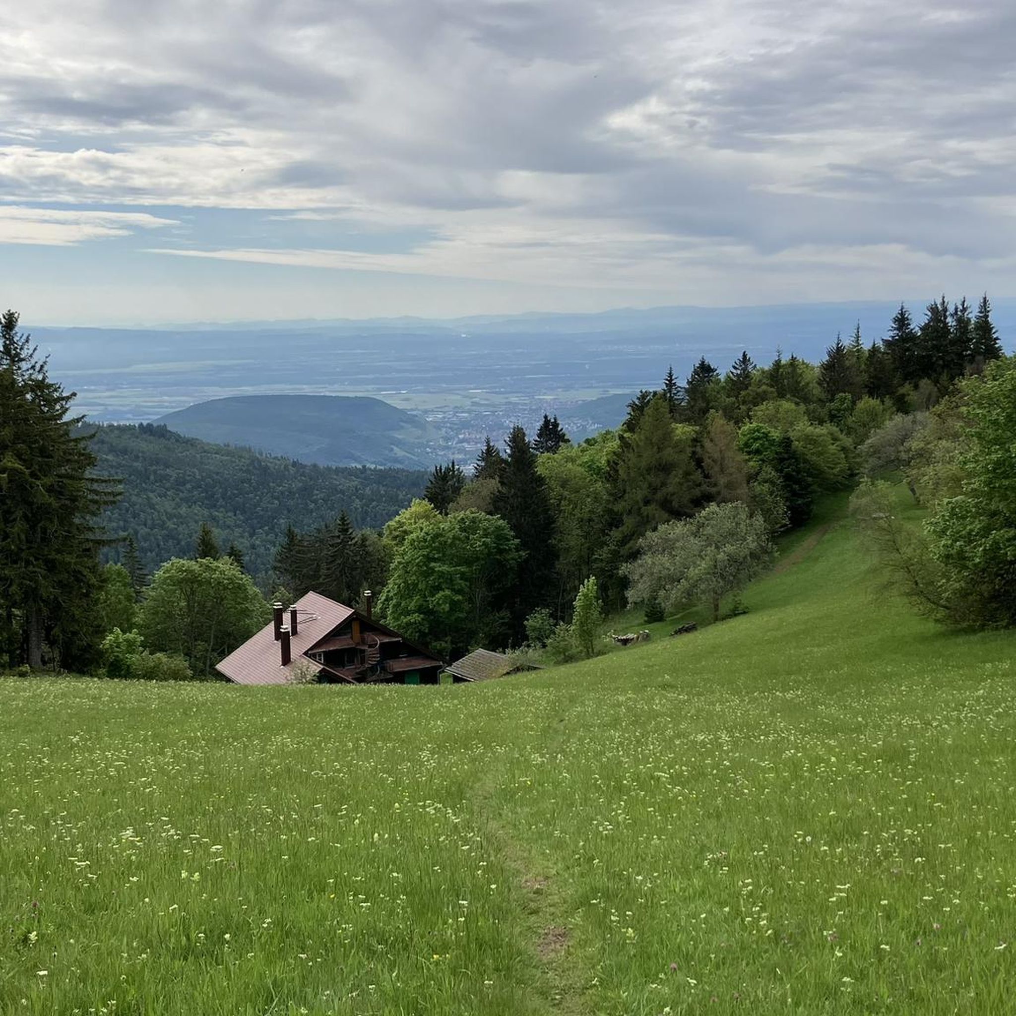
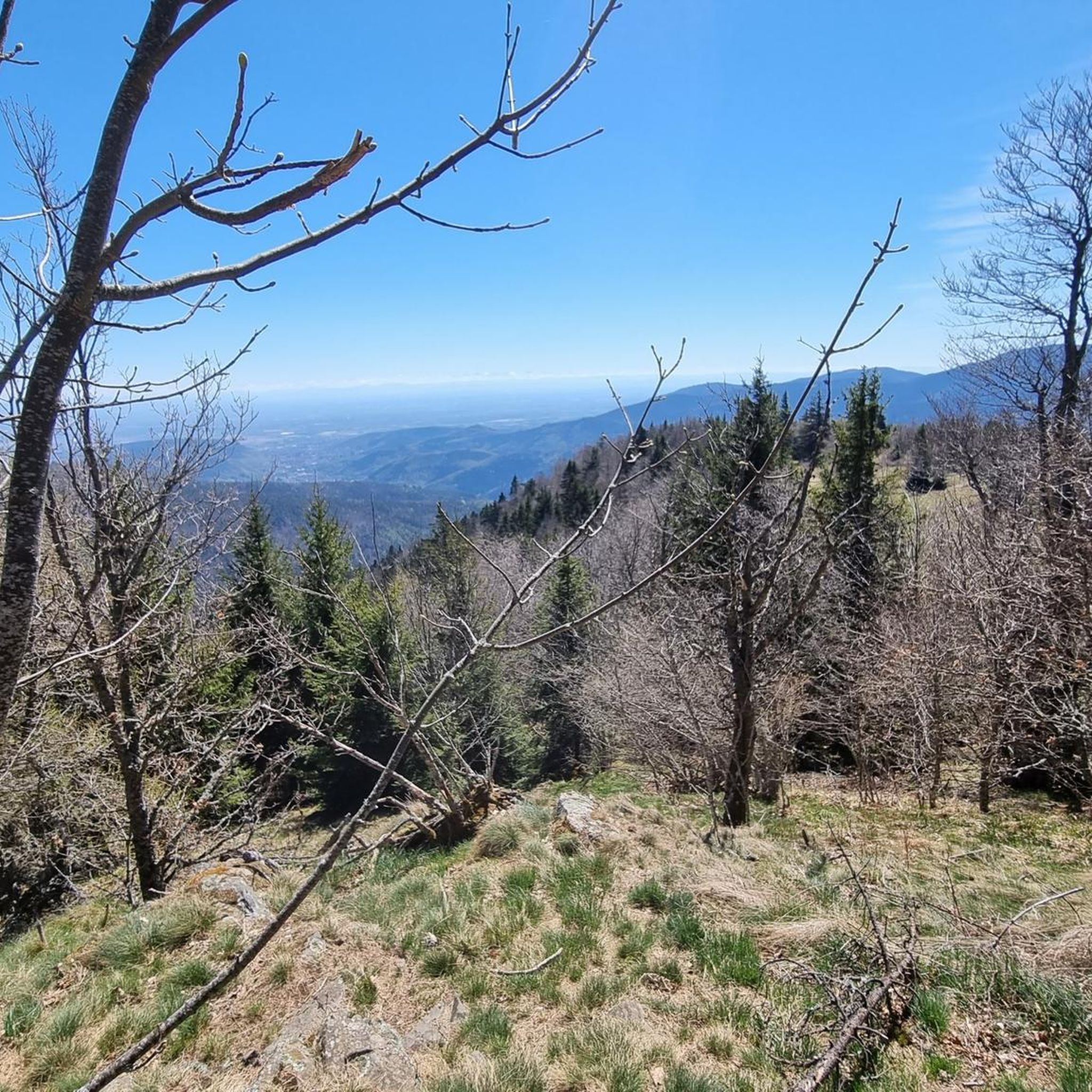
Tips from the Community

The Véloroute Vignoble VV21 (Voie Verte), "Véloroute de la Vallée de Munster", Munster Valley section, connects Colmar-Wintzenheim to Metzeral over a length of about 28 km. The route runs along the valley floor, the Fecht river, and the railway line. It is a very easy route to ride, which is ideal for families.
0
0

The last hairpin bends on the east side of the Grand Ballon are among the most characteristic passages of the climb. Several bends are paved with natural stone (cobblestones and not setts), a reminder of the historic mountain road. Between the steep slopes and the impressive views, these cobblestone bends form a special approach to the highest peak of the Vosges.
7
0

Unfortunately, recently (a few weeks ago), a "Non-Potable Water" sign has been put up at the water point.
0
0

The ascent to the Col du Firstplan from Soultzbach-les-Bains is steady. The road surface is good and occasionally a tuned car whizzes past. There are few lay-bys on the roadside for a short stop, but at the top of the Col there is a picnic area.
0
0

Excellent bakery, I recommend the corn bread as well as the Süweckla, a type of small crispy bread. The baguettes are just as delicious. Not to be missed!
0
0

The view is clear.
0
0

short break again and again in the scorching heat
0
0
Frequently Asked Questions
How many road cycling routes are available around Lautenbach?
Lautenbach offers a wide selection of road cycling routes, with over 160 tours available. These routes cater to various skill levels, including easy, moderate, and difficult options.
Are there road cycling routes suitable for beginners in Lautenbach?
Yes, Lautenbach provides options for beginners. While the region is known for its challenging mountainous terrain, there are 39 easy routes available. These routes offer a gentler introduction to road cycling in the area, allowing riders to enjoy the scenery without extreme climbs.
What kind of challenges can advanced road cyclists expect in Lautenbach?
Advanced road cyclists will find significant challenges in Lautenbach, characterized by demanding ascents and descents through prominent mountain passes. Routes like the Grand Ballon – Markstein loop from Guebwiller and the Grand Ballon – Col de la Schlucht loop from Guebwiller feature substantial climbs and long distances, often exceeding 80 km with over 1600 meters of elevation gain.
Are there any circular road cycling routes in the Lautenbach area?
Yes, many road cycling routes around Lautenbach are designed as loops, allowing you to start and finish at the same point. Examples include the Firstplan Pass – Pinot Bend loop from Soultzmatt and the Ascent to Col Amic – Amic Pass loop from Guebwiller, which offer varied scenery and challenging climbs.
What are the best times of year for road cycling in Lautenbach?
The best time for road cycling in Lautenbach is typically from late spring to early autumn (May to October). During these months, the weather is generally more stable, and mountain passes are clear of snow, offering optimal conditions for tackling the region's challenging routes. Always check local weather forecasts before heading out.
What are some scenic viewpoints or attractions along the road cycling routes?
Road cycling routes in Lautenbach often pass by stunning natural and historical attractions. You can find scenic viewpoints at Grand Ballon, Petit Ballon, and the Viewpoint at the summit of Vieil Armand. The region also features the picturesque Ballon Lake.
How do other cyclists rate the road cycling experience in Lautenbach?
The road cycling experience in Lautenbach is highly regarded by the komoot community, with an average rating of 4.6 stars from over 500 reviews. Cyclists frequently praise the challenging mountain passes, the diverse forested and open mountain landscapes, and the well-maintained routes.
Is public transport an option for accessing road cycling routes in Lautenbach?
While Lautenbach is a smaller community, public transport options like regional buses may connect to nearby towns. However, for direct access to many of the more remote mountain passes and starting points for road cycling routes, personal transport is often more convenient. It's advisable to check local bus schedules for specific connections.
Where can I find parking for road cycling routes in Lautenbach?
Parking is generally available in the larger towns and villages surrounding Lautenbach, such as Guebwiller or Soultzmatt, which serve as common starting points for many routes. Look for designated public parking areas, especially near trailheads or town centers. Always ensure parking regulations are followed.
Are there routes that include cafe stops or places to refuel?
Many road cycling routes in the Lautenbach region pass through or near small villages and towns where you can find cafes, bakeries, and restaurants to refuel. While specific cafe stops are not always marked on every route, planning your ride to pass through populated areas will provide opportunities for breaks and refreshments.
What are the conditions like for winter road cycling in Lautenbach?
Winter road cycling in Lautenbach can be challenging due to snow and ice, especially at higher elevations and on mountain passes like Grand Ballon and Col de la Schlucht, which may be closed or impassable. Lower elevation routes might be rideable on clear days, but conditions can change rapidly. It's crucial to check local road conditions and weather forecasts before attempting winter rides.
Can I find "hidden gem" routes away from the main passes?
While the major passes are popular, the extensive network of 164 routes around Lautenbach includes many less-traveled roads. Exploring some of the moderate or easy routes, or those starting from smaller villages, can lead you to quieter, equally scenic roads that offer a different perspective of the region's beauty away from the most famous climbs.
What notable landmarks can I see while road cycling near Lautenbach?
Beyond the natural beauty, you can encounter historical and cultural landmarks. The Hartmannswillerkopf National Monument is a significant historical site that some routes may pass near, offering a poignant point of interest amidst the scenic landscapes.
Most popular routes around Lautenbach
Most popular attractions around Lautenbach

Get inspired with the komoot mobile app


Explore more
Browse the best Road cycling routes in other regions.
