The best running trails around Saint-Gervais-Sur-Mare
4.6
(25)
2,138
runners
113
runs
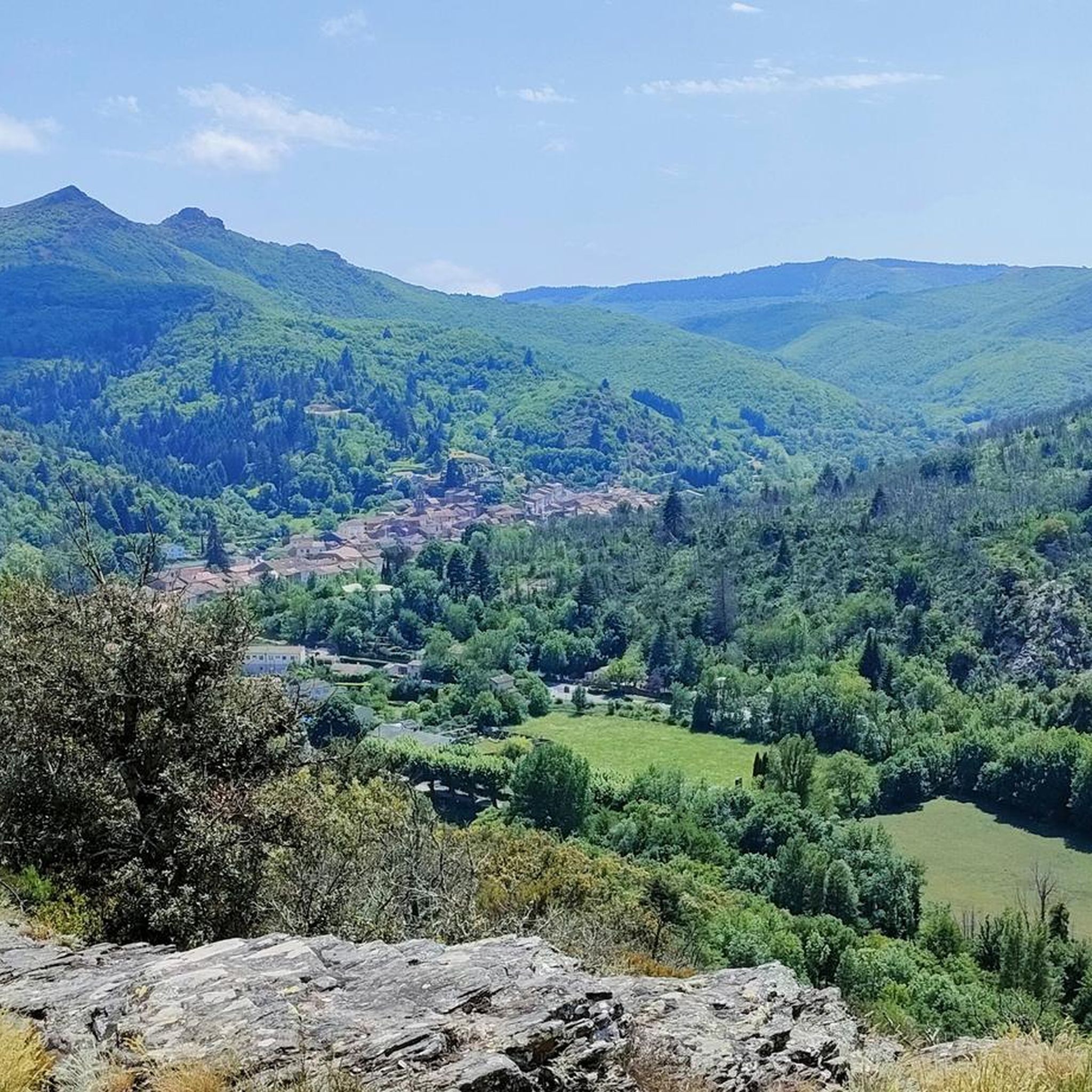
Jogging routes around Saint-Gervais-sur-Mare traverse a diverse landscape within the Haut-Languedoc Natural Park, characterized by river valleys, rolling hills, and more challenging mountainous sections. The region features a network of trails winding through lush forests, past gorges, and alongside the Mare River. Topography ranges from 900 feet (280 meters) to over 3,000 feet (940 meters), offering varied elevation profiles for runners. This natural setting provides a fresh and invigorating environment for outdoor activities.
Best jogging routes around Saint-Gervais-sur-Mare
- The most…
Last updated: May 17, 2026
5.0
(1)
352
runners
25.1km
04:30
1,450m
1,450m
Hard run. Very good fitness required. Sure-footedness, sturdy shoes and alpine experience required.
35
runners
16.0km
02:15
630m
630m
Hard run. Very good fitness required. Sure-footedness, sturdy shoes and alpine experience required.

Sign up for free
18
runners
11.1km
01:42
560m
560m
Hard run. Very good fitness required. Sure-footedness, sturdy shoes and alpine experience required.
22
runners
33.6km
05:07
1,530m
1,530m
Hard run. Very good fitness required. Sure-footedness, sturdy shoes and alpine experience required.
28
runners
21.4km
02:49
760m
760m
Hard run. Very good fitness required. Mostly paved surfaces. Suitable for all skill levels.
Get access to more routes and recommendations from other explorers.
Sign up for free
Already have an account?
Our route recommendations are based on thousands of hikes, rides, and runs completed by other people on komoot.
Start today with a free account
Your next adventure awaits.
Login or Signup
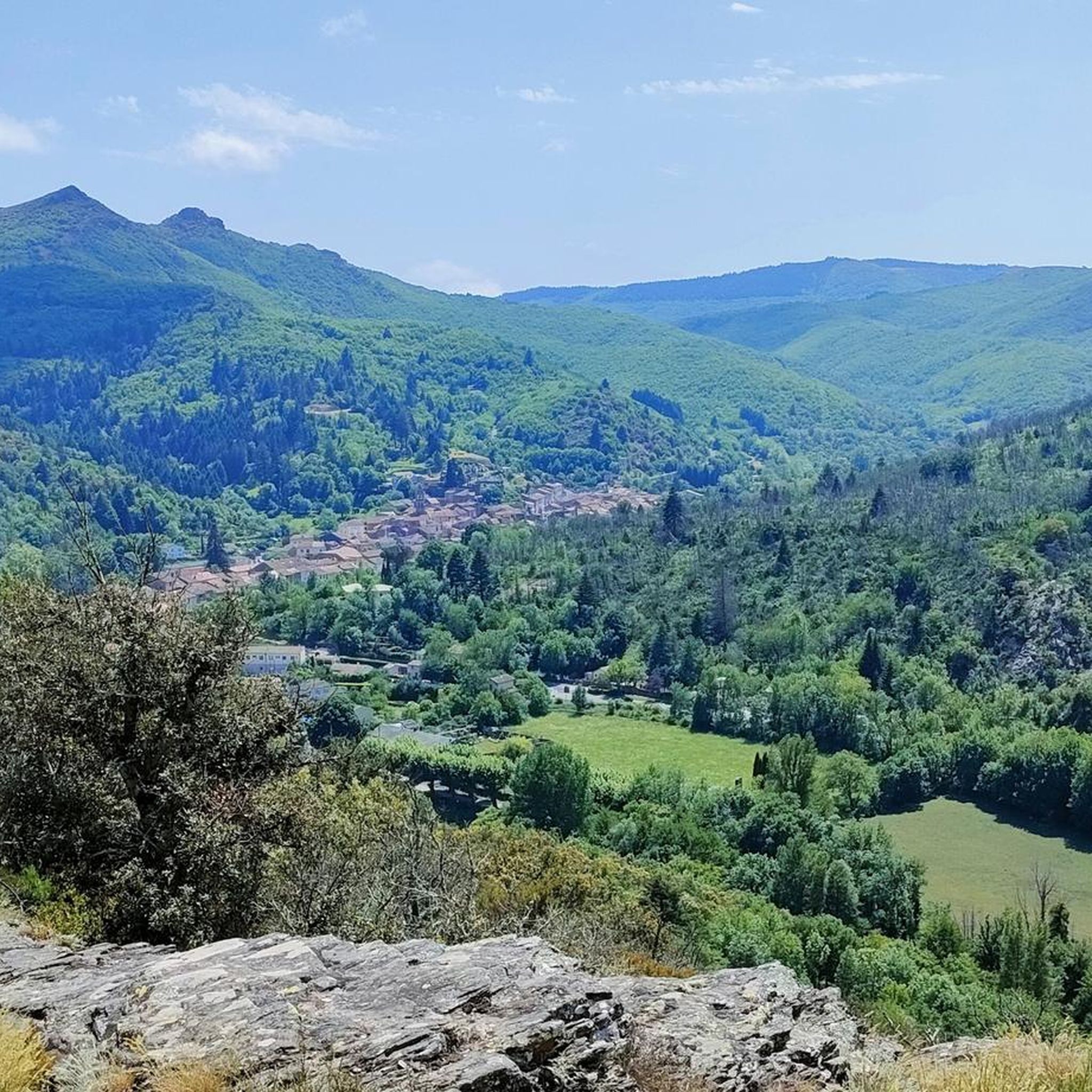
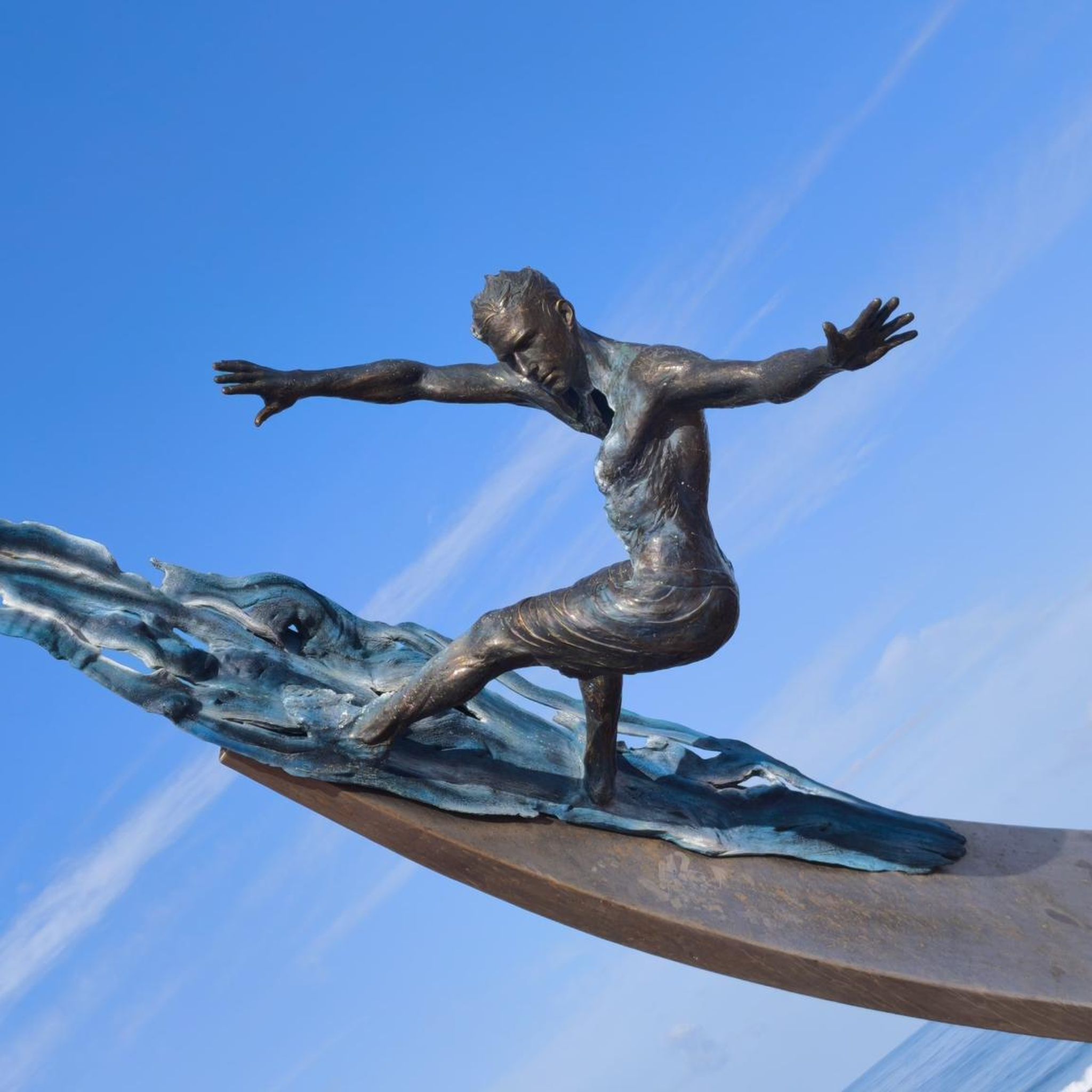
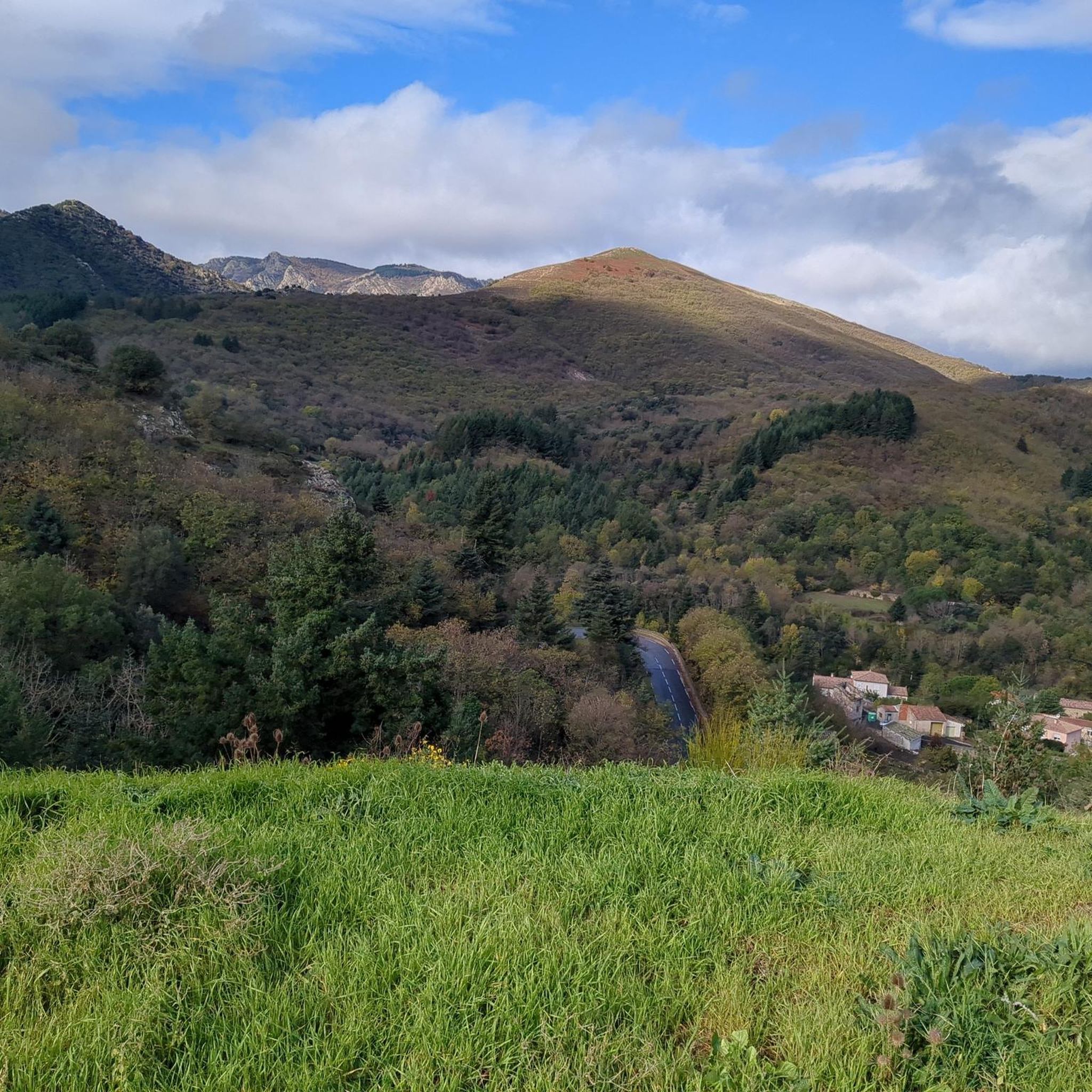
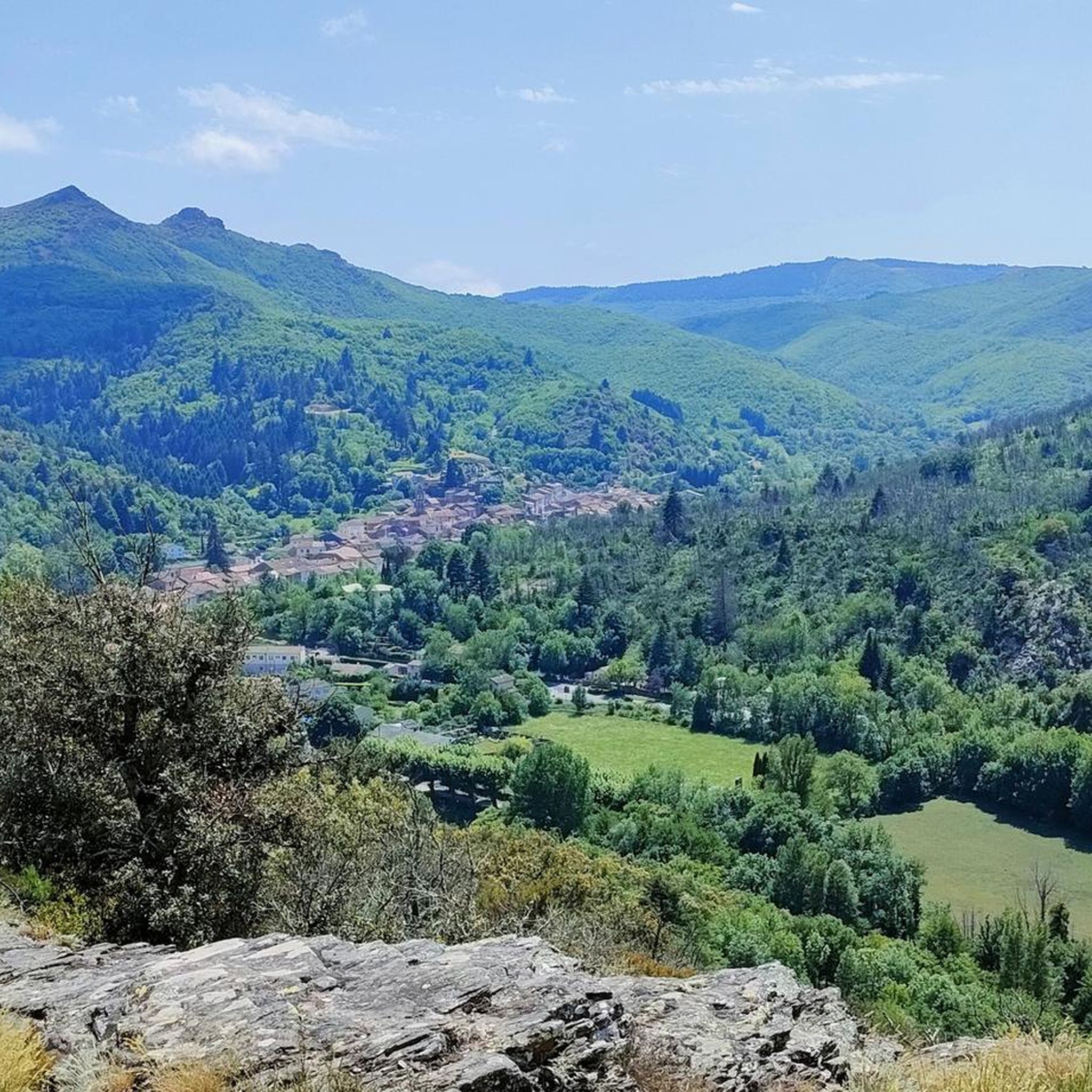
Tips from the Community

It's not the most beautiful viewpoint, but it's far from ugly!
0
0
An amazing viewpoint! You can see Sète, as well as a good part of the Pyrenees!
0
0

Above Saint-Martin-de-l'Arçon, a superb view unfolds over the valley and surrounding hills. Choose a sunny day with clear skies to fully appreciate its beauty!
0
0

Very nice viewpoint
0
0
An incredible spot that looks like it was built by human hands.
0
0
Great views at the summit
0
0

Great enduro-style ride with plenty of swimming spots. Beginners should refrain.
0
0
Frequently Asked Questions
How many running routes are available around Saint-Gervais-sur-Mare?
There are over 120 running routes in the Saint-Gervais-sur-Mare area, offering a wide variety of terrain and distances for all fitness levels. The komoot community has explored these trails over 2000 times.
Are there easy running paths suitable for beginners or families?
Yes, while many routes are challenging, there are a few easier paths. For instance, the Running loop from Saint-Gervais-sur-Mare is a moderate 3.2-mile (5.1 km) route with less elevation, making it a good option for a more relaxed run. The region's river valleys also offer relatively flat sections.
What kind of terrain can I expect on the jogging routes?
The jogging routes around Saint-Gervais-sur-Mare feature diverse terrain, ranging from river valleys and lush forests to rolling hills and more challenging mountainous sections. You'll find paths winding through the Haut-Languedoc Natural Park, with topography varying significantly from 900 feet (280 meters) to over 3,000 feet (940 meters).
Are there any running routes with scenic viewpoints or natural landmarks?
Absolutely. Many routes offer incredible views and pass by notable natural features. For example, the Col de Madale loop from Saint-Gervais-sur-Mare provides extensive views typical of the regional natural park. You can also find routes near the spectacular Héric Gorge or offering distant views of Mont Caroux.
Can I bring my dog on the running trails?
The Haut-Languedoc Regional Natural Park, where Saint-Gervais-sur-Mare is located, generally welcomes dogs on trails, especially if kept on a leash to protect wildlife. It's always best to check specific trail regulations, but many of the natural paths are suitable for running with your canine companion.
Are there any waterfalls or natural pools along the running routes?
Yes, the region is known for its natural water features. The Gouffre du Cerisier Natural Pool and Waterfall is a notable highlight, and the Natural Pools of the Gorges d'Héric offer refreshing spots that can be incorporated into or found near some running routes.
What is the average difficulty of running routes in Saint-Gervais-sur-Mare?
The routes vary significantly in difficulty. While there are 4 easy and 49 moderate routes, the majority (68) are classified as difficult. This means many trails feature significant elevation gain and require good fitness and sure-footedness, especially in mountainous sections.
Are there circular running routes available?
Yes, many of the running routes around Saint-Gervais-sur-Mare are circular, allowing you to start and finish at the same point. Examples include the Roquandouire Arch loop from Saint-Geniès-de-Varensal and the Roquandouire Arch loop from Saint-Gervais-sur-Mare, both offering varied terrain and scenic vistas.
What do other runners enjoy most about jogging in Saint-Gervais-sur-Mare?
The area is highly rated by the komoot community, with an average score of 4.6 stars from over 20 reviews. Runners often praise the diverse landscapes, the invigorating natural environment of the Haut-Languedoc Natural Park, and the challenging yet rewarding climbs that offer extensive views.
Are there any historical sites or ruins I can see while running?
Yes, you can combine your run with a glimpse into the region's history. The ruins of the Château de Neyran, an ancient feudal castle abandoned in the 15th century, are located northwest of the village and can be incorporated into some routes. Saint-Gervais-sur-Mare was also a stop on the historic Via Tolosana pilgrimage route.
How long are the running trails in this area?
The running trails vary greatly in length. You can find shorter loops, such as the moderate Running loop from Saint-Gervais-sur-Mare at 3.2 miles (5.1 km), up to longer, more challenging routes like the difficult Col de Madale loop from Saint-Gervais-sur-Mare, which spans 13.3 miles (21.4 km).
Is there parking available near the trailheads?
While specific parking details vary by trailhead, Saint-Gervais-sur-Mare and its surrounding hamlets generally offer parking options. Many routes, especially circular ones, start from accessible points within or near the villages, making it convenient to park and begin your run.
Most popular routes around Saint-Gervais-Sur-Mare
Most popular attractions around Saint-Gervais-Sur-Mare

Get inspired with the komoot mobile app


Explore more
Browse the best Running Trails & Routes in other regions.
