The best road cycling routes around Omblèze
4.8
(156)
3,262
riders
25
rides
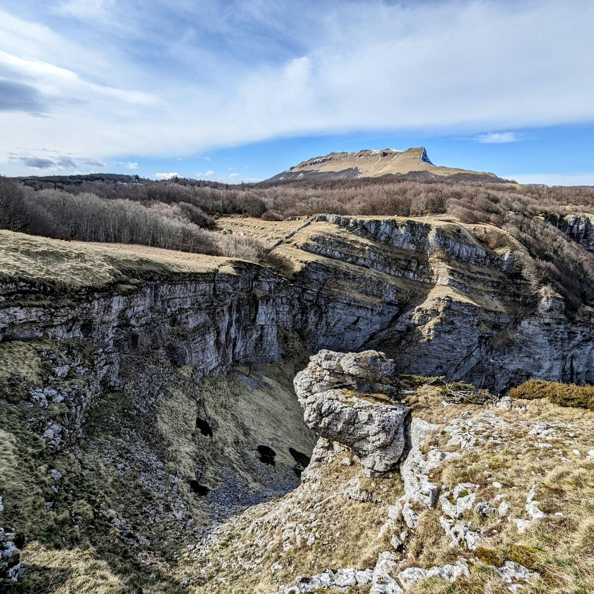
Road cycling around Omblèze offers routes through the Vercors Regional Natural Park, characterized by dramatic limestone cliffs and deep gorges carved by the Gervanne River. The terrain features winding roads, hairpin curves, and significant elevation changes, providing challenging experiences. This region is known for its "balcony roads" cut into cliff sides, offering panoramic views of the surrounding landscape.
Best road cycling routes around Omblèze
- The most popular road cycling route is Machine Pass – Cirque of Combe Laval loop from…
Last updated: October 4, 2026
4.8
(26)
591
riders
68.7km
03:41
1,380m
1,380m
Hard road ride. Very good fitness required. Mostly well-paved surfaces and easy to ride.
5.0
(4)
104
riders
56.4km
03:16
1,350m
1,350m
Hard road ride. Very good fitness required. Mostly well-paved surfaces and easy to ride.

5.0
(2)
91
riders
138km
07:08
2,490m
2,490m
Hard road ride. Very good fitness required. Mostly well-paved surfaces and easy to ride.
5.0
(1)
25
riders
108km
05:35
1,850m
1,850m
Hard road ride. Very good fitness required. Some segments of this route may be unpaved and difficult to ride.
20
riders
103km
04:58
1,430m
1,430m
Hard road ride. Very good fitness required. Some segments of this route may be unpaved and difficult to ride.
Get access to more routes and recommendations from other explorers.
Already have an account?
Our route recommendations are based on thousands of hikes, rides, and runs completed by other people on komoot.
Start today with a free account
Your next adventure awaits.
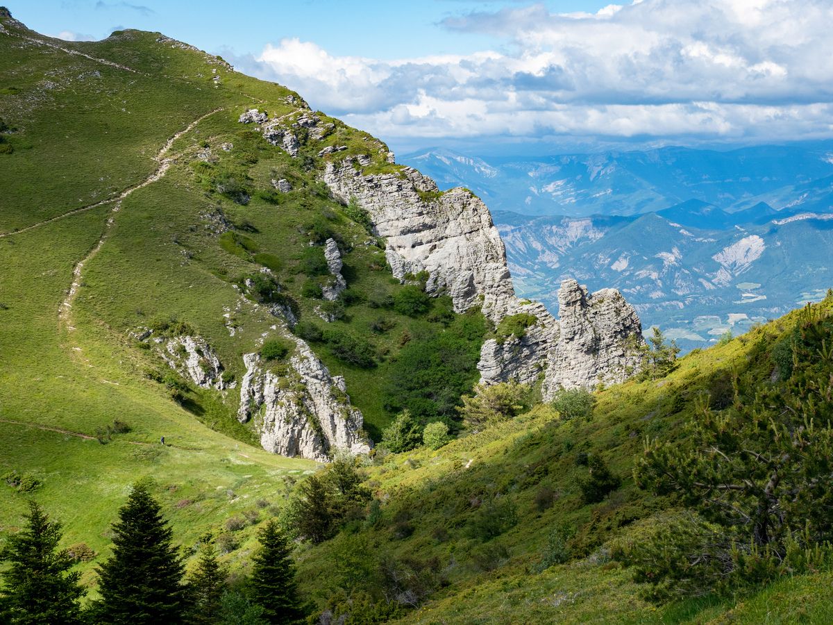
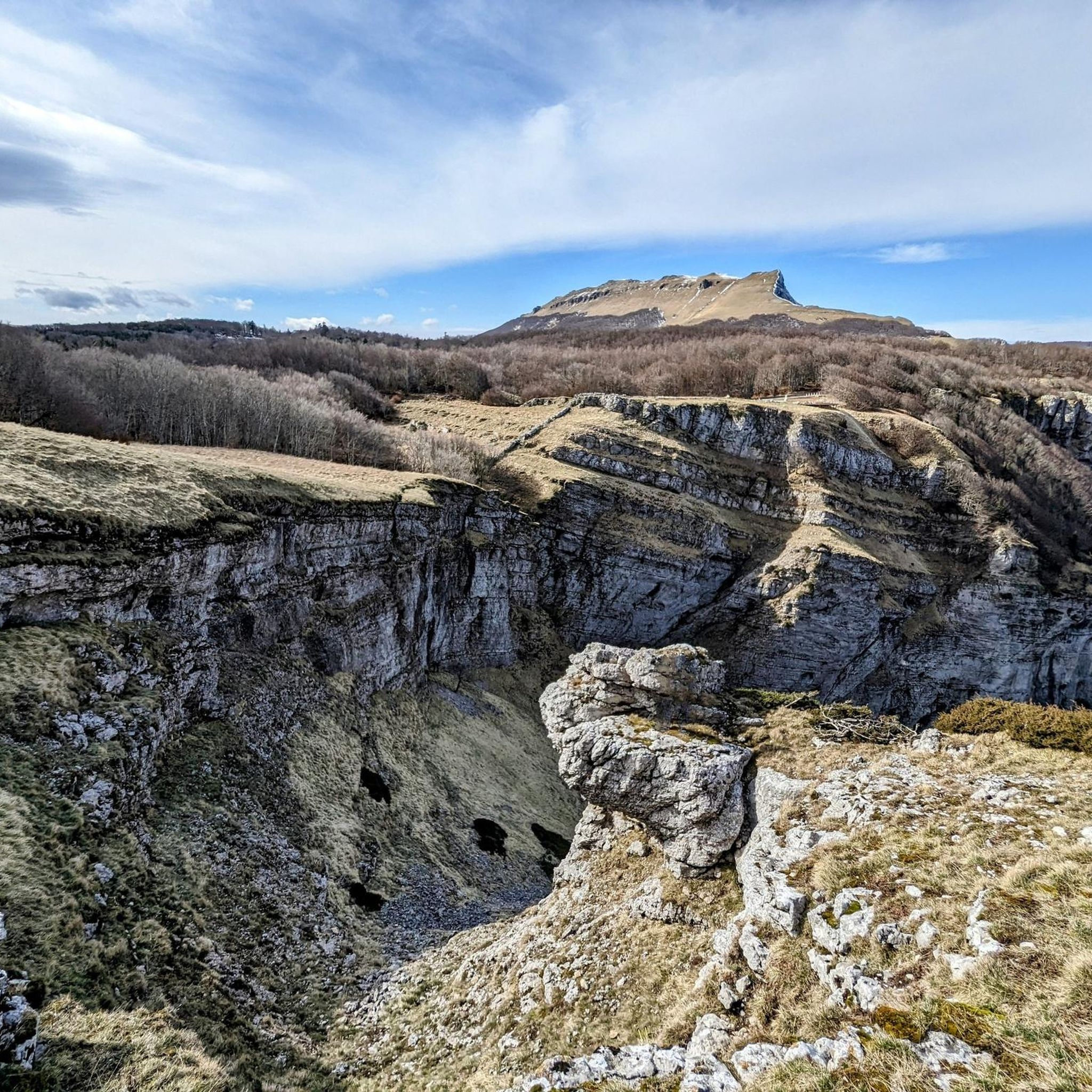
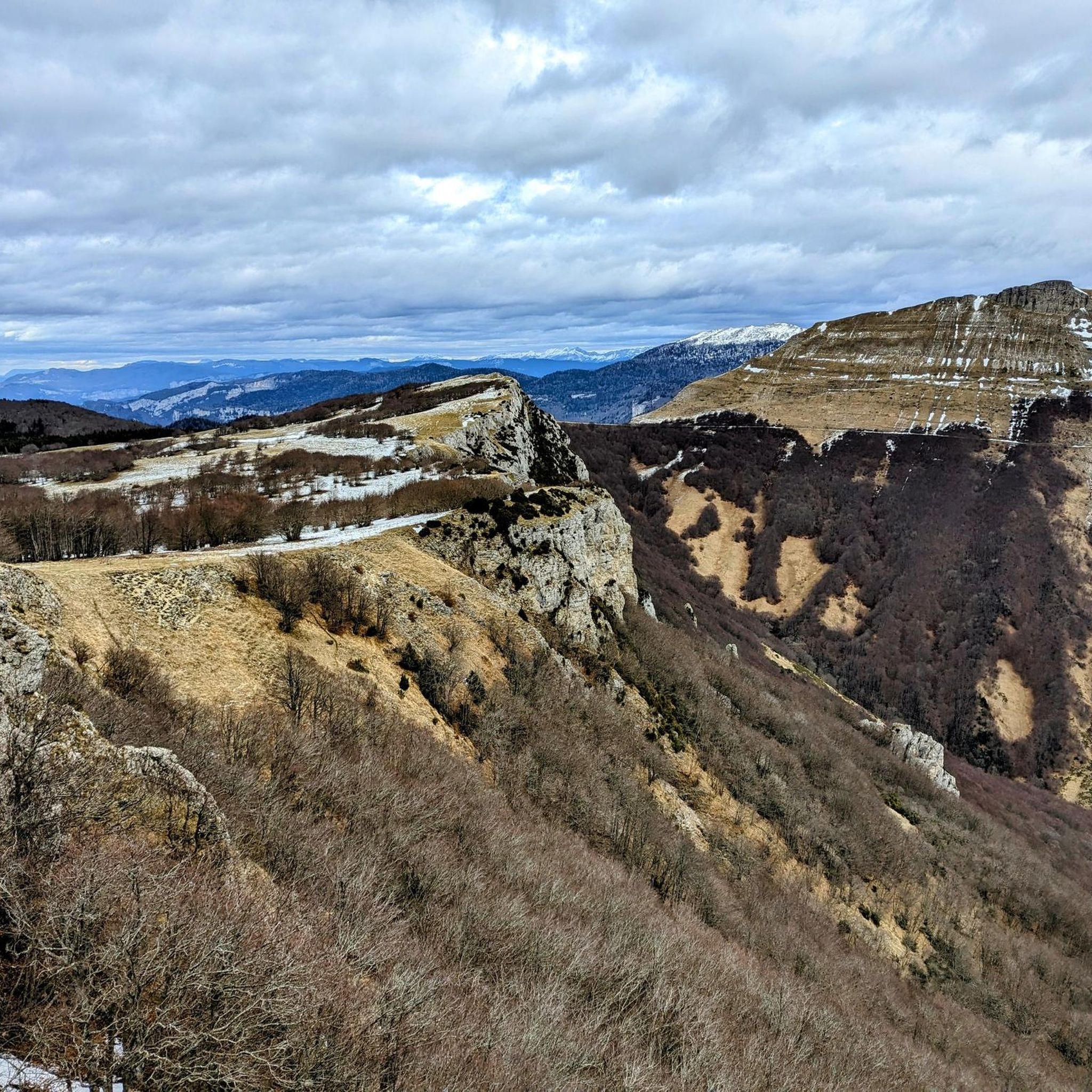
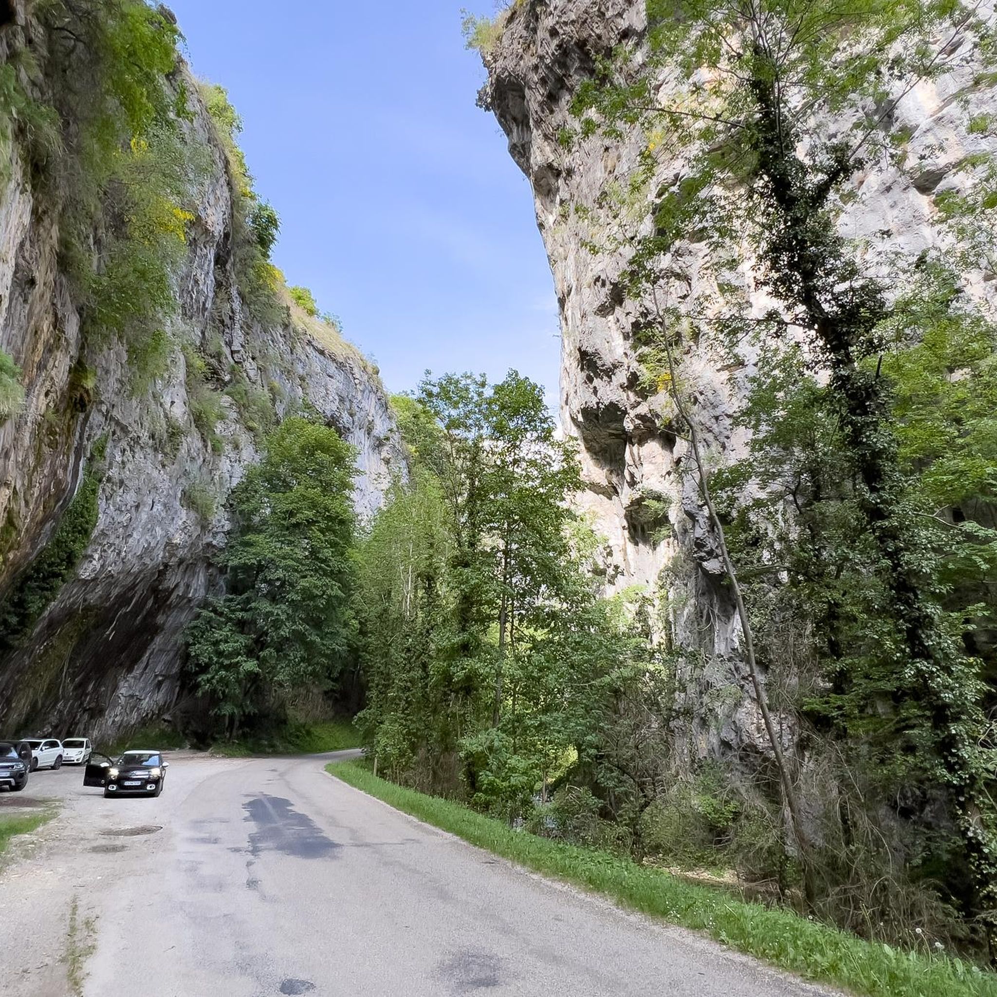
Other adventures around Omblèze

Tips from the Community

The climb is particularly appreciated for its tranquility, low vehicular traffic, and the beauty of the surrounding rural landscape, characterized by Clairette de Die vineyards in the lower part and forests typical of the French pre-Apennines.
18
0
The climb of Plan-de-Baix (often tackled by cyclists as the first part of the ascent towards the longer Col de Bacchus) is a category 3 climb located in the Drôme department, in the Rhône-Alpes region (France), at the gates of the Vercors Regional Natural Park.
13
0
Fresh and drinkable water.
12
0
The Vercors Plateau (also known as the Vercors Massif) is one of the most spectacular natural jewels of the French Prealps, located straddling the departments of Isère and Drôme, a short distance from Grenoble. This vast limestone mountainous area, which extends over more than 206,000 hectares, is famous for its unique geological conformation that earned it the nickname of "fortress": an immense rocky block surrounded by impressive vertical cliffs, deep canyons, and spectacular internal plateaus. [1] (https://turismo-it.saintmarcellin-vercors-isere.com/i-10-principali-elementi-essenziali/parco-naturale-regionale-del-vercors/), [2] (https://it.wikipedia.org/wiki/Prealpi_del_Vercors), [3] (https://www.france.fr/it/articolo/scoprite-varieta-naturale-del-massiccio-del-vercors/), [4] (https://mapy.com/it/?source=osm&id=1209791721)
12
0

Beautiful climb from the campsite Valle drome soleil via the D93 to the D70 to then cycle towards the climb, 13.5 km extra then. Done in the morning because it got way too hot in the afternoon. Beautiful ride and the same way back a reward
0
0
Prepare to experience one of the most spectacular and exciting road routes in Europe! The Combe Laval road, nestled in the Vercors massif, is a true engineering masterpiece of the 19th century. Also known as the "road of dizziness," it winds for about 4 kilometers literally carved into the limestone rock, offering passages through suggestive tunnels and natural balconies with breathtaking drops that will take your breath away.
12
0
Get ready to experience one of the most spectacular and exciting road routes in Europe! The Combe Laval road, nestled in the Vercors massif, is a true masterpiece of 19th-century engineering. Also known as "the road of dizziness," it winds for about 4 kilometers literally carved into the limestone rock, offering passages through suggestive tunnels and natural balconies with breathtaking overhangs that will leave you breathless.
9
0
La Combe Laval is one of the most spectacular scenic roads in the Vercors massif. The D76 was carved into the rock face between the 19th and 20th centuries and passes through a succession of tunnels, ledges, and sections suspended over the valley.
11
0
Frequently Asked Questions
How many road cycling routes are available around Omblèze?
There are 19 road cycling routes around Omblèze, offering a range of experiences from moderate to difficult. These routes are highly rated by the komoot community, with an average score of 4.7 stars.
What kind of terrain can I expect when road cycling in Omblèze?
Road cycling in Omblèze primarily involves routes through the dramatic landscapes of the Vercors Regional Natural Park. You'll encounter winding roads, hairpin curves, and significant elevation changes, often cut into the sides of sheer limestone cliffs, characteristic of the region's famous 'balcony roads'.
Are there any particularly challenging road cycling routes in the area?
Yes, Omblèze is known for its demanding routes. For a significant challenge, consider the Machine Pass – Cirque of Combe Laval loop from Vassieux-en-Vercors, which covers 55.1 km with over 1400 meters of elevation gain. Another difficult option is the Col des Limouches – Jérôme Cavalli Pass, 842 m loop from Plan-de-Baix, also around 55 km with substantial climbing.
What natural features or landmarks can I see along the road cycling routes?
The routes often traverse the spectacular Gorges d'Omblèze, offering views of majestic cliffs and the Gervanne River. You might also encounter impressive waterfalls like the Chute de la Druise and Cascade de la Pissoire. Notable passes and viewpoints include the Machine Pass and the Cirque of Combe Laval.
Are there any loop or circular road cycling routes in Omblèze?
Yes, many of the road cycling routes in Omblèze are designed as loops. Examples include the View of the La Sure Valley – Col de Marignac loop from Saint-Julien-en-Quint and the Carri Pass – Col de la Chau loop from Alpage de Font d'Urle, allowing you to start and finish at the same point.
What is the best time of year for road cycling in Omblèze?
The best time for road cycling in Omblèze is typically during the spring and autumn months when temperatures are milder and the natural scenery is vibrant. Summer can also be pleasant, but be prepared for warmer conditions, especially in the gorges. Always check local weather forecasts before heading out.
Are there any moderate road cycling routes suitable for intermediate riders?
Yes, there are several moderate routes. The View of the La Sure Valley – Col de Marignac loop from Saint-Julien-en-Quint is a popular moderate option, traversing valleys and offering scenic views over 29.9 km. Another is the Carri Pass – Col de la Chau loop from Alpage de Font d'Urle, which is 38.3 km with moderate elevation.
Where can I find parking for road cycling routes in Omblèze?
While specific parking areas for each route vary, many routes start from villages or towns such as Vassieux-en-Vercors, Saint-Julien-en-Quint, or Plan-de-Baix, where public parking is generally available. It's advisable to check the starting point of your chosen route for the most convenient parking options.
What makes the D578 road in Omblèze special for road cyclists?
The D578 road, which winds through the Gorges d'Omblèze, is renowned as one of France's 'balcony roads.' It's fully paved but characterized by its dramatic cuts into sheer cliff sides, offering breathtaking panoramic views. Its winding nature, hairpin curves, and significant elevation changes provide a challenging and visually stunning experience, often with less traffic due to it not being a through road.
Are there any places to stop for refreshments or accommodation near the cycling routes?
Within the Gorges d'Omblèze, the historic Moulin de la Pipe (Watermill) serves as a charming guest house and potential stopover. Additionally, the villages and towns surrounding Omblèze, such as Vassieux-en-Vercors or Saint-Julien-en-Quint, offer various options for cafes, restaurants, and accommodation.
What is the longest road cycling route available in Omblèze?
The longest road cycling route listed is the Col de la Croix – Drôme Valley loop from Saint-Julien-en-Quint. This challenging route spans over 108 km and features significant elevation gain, making it suitable for experienced cyclists seeking a full-day adventure.
Most popular attractions around Omblèze

Get inspired with the komoot mobile app


Explore more
Browse the best Road cycling routes in other regions.
