The best running trails around Isolaccio-Di-Fiumorbo
3.1
(7)
737
runners
49
runs
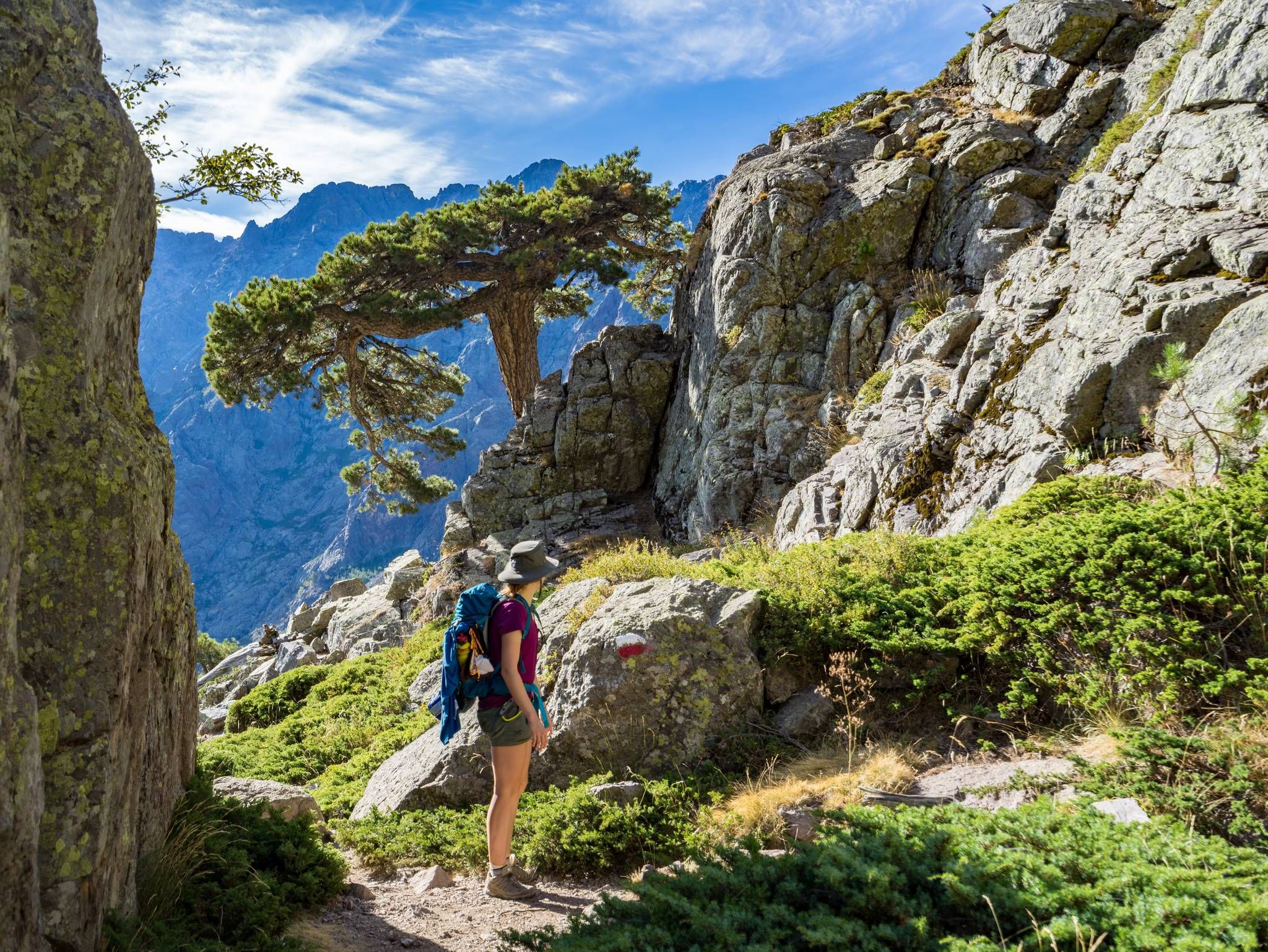
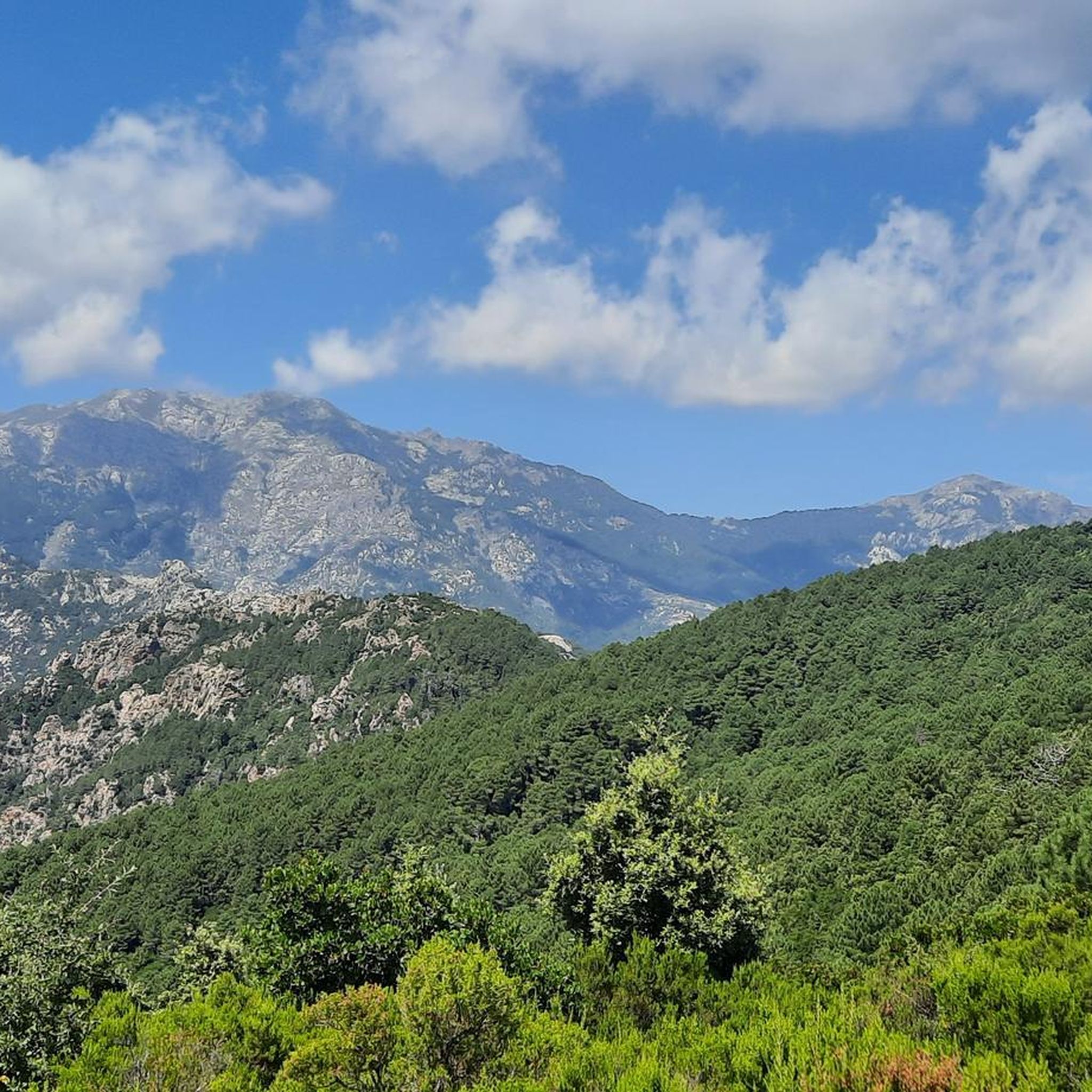
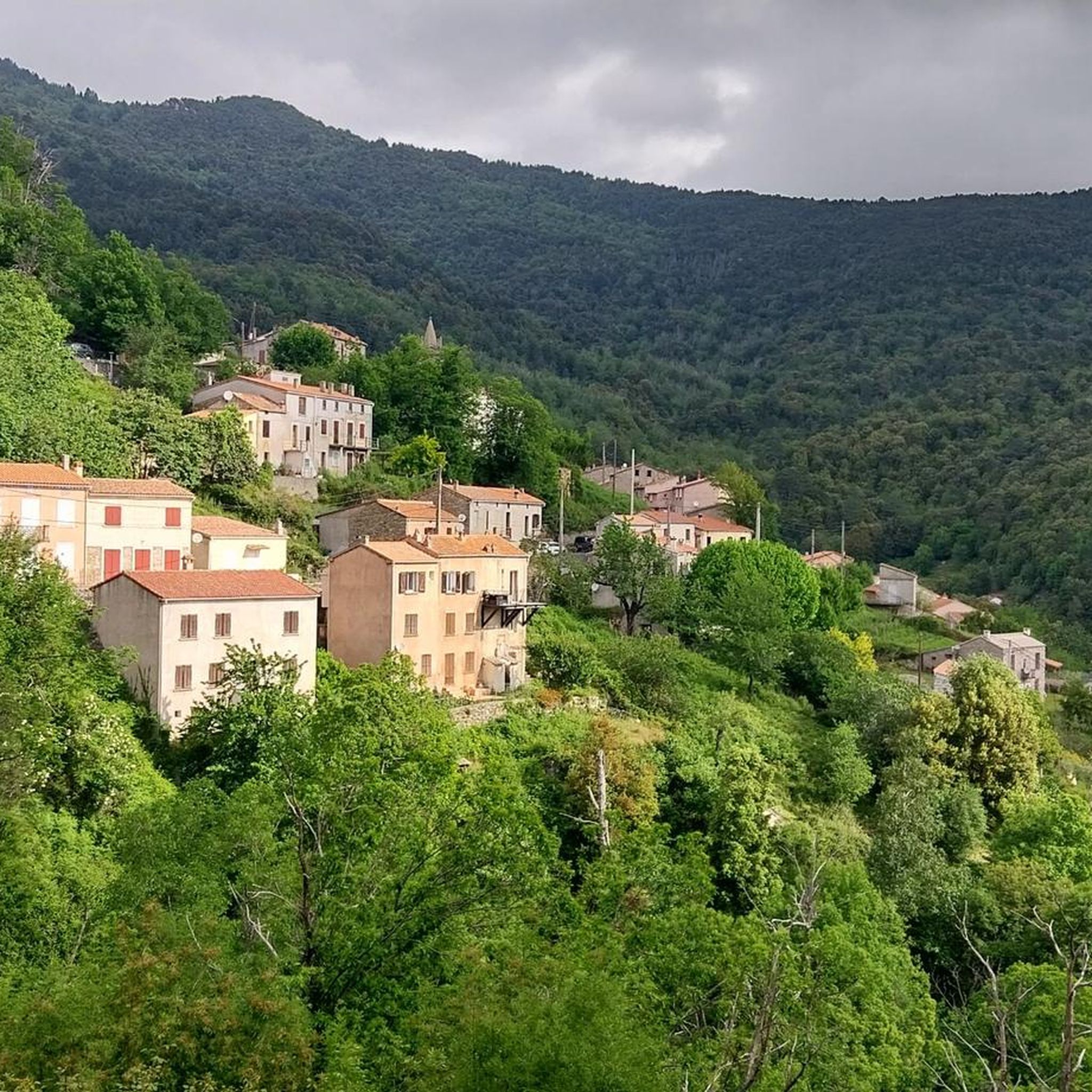
Jogging routes around Isolaccio-Di-Fiumorbo are characterized by mountainous terrain, dense forests, and picturesque valleys within Haute-Corse, France. As the highest settlement in the Fiumorbo region at 706 meters, Isolaccio-Di-Fiumorbo offers routes with significant elevation gains and panoramic views. The area provides diverse natural landscapes for running, including access to notable natural features like waterfalls and lakes.
Best jogging routes around Isolaccio-Di-Fiumorbo
- The most popular jogging route is Ghjuva Point – Bocca di Ghjuva loop from San-Gavino-di-Fiumorbo, a 9.6 miles…
Last updated: July 25, 2026
31
runners
15.5km
02:48
890m
890m
Hard run. Very good fitness required. Sure-footedness, sturdy shoes and alpine experience required.
25
runners
14.6km
02:26
630m
630m
Hard run. Very good fitness required. Sure-footedness, sturdy shoes and alpine experience required.

Sign up for free
19
runners
7.39km
01:33
550m
550m
Hard run. Very good fitness required. Sure-footedness, sturdy shoes and alpine experience required.
16
runners
7.25km
01:15
430m
430m
Hard run. Very good fitness required. Sure-footedness, sturdy shoes and alpine experience required.
13
runners
13.5km
02:51
1,050m
1,050m
Hard run. Very good fitness required. Sure-footedness, sturdy shoes and alpine experience required.
Get access to more routes and recommendations from other explorers.
Sign up for free
Already have an account?
Our route recommendations are based on thousands of hikes, rides, and runs completed by other people on komoot.
Start today with a free account
Your next adventure awaits.
Login or Signup
Popular around Isolaccio-Di-Fiumorbo
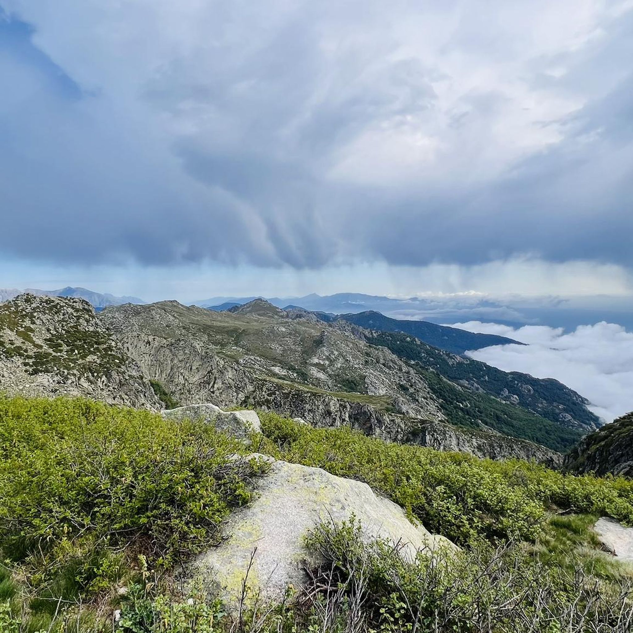
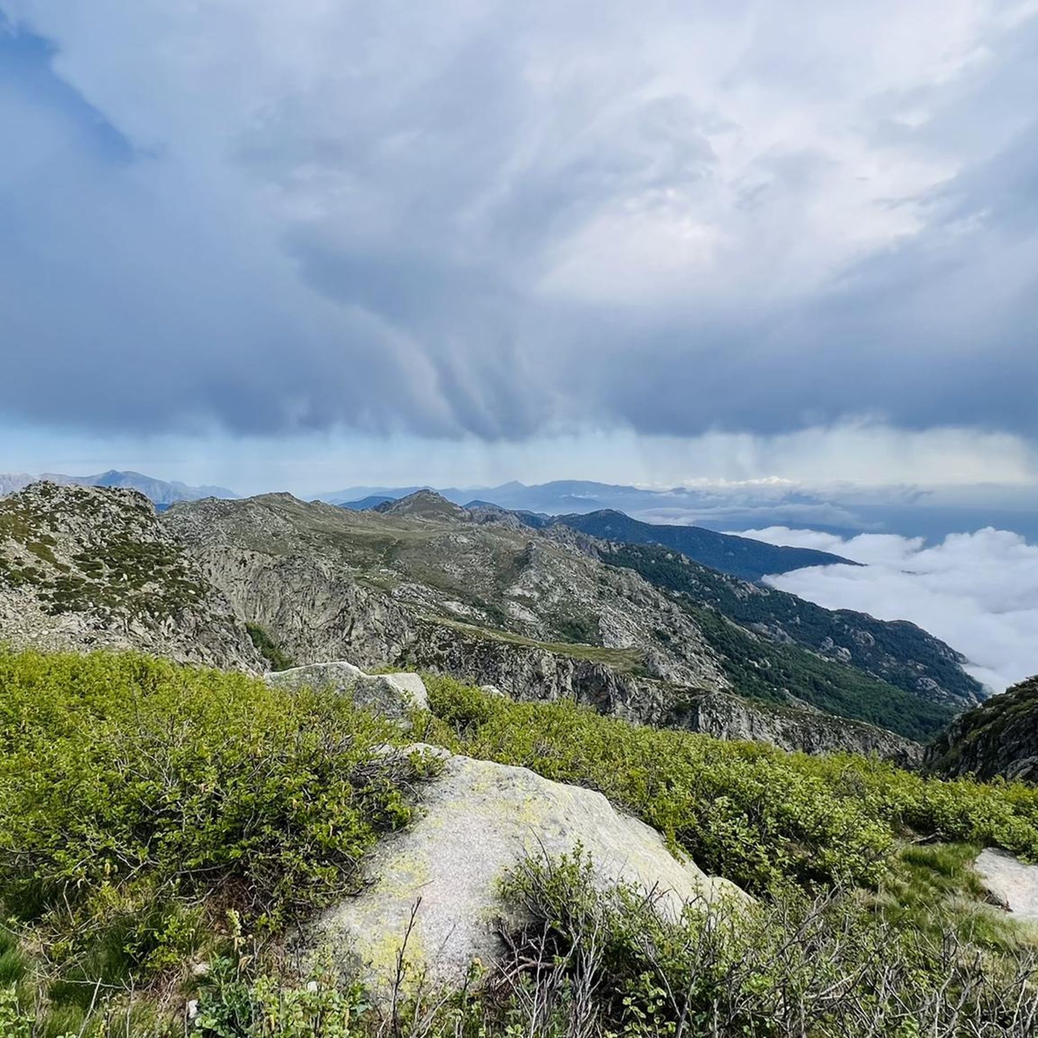


Tips from the Community


Instead of pasta, paninis, and cakes, they serve entrecôte and salad. Not for cyclists or hikers.
0
0

You can buy Corsican cheese here!
1
0

Starting from Catastaghju, a magnificent demanding hike of approximately 11km from the Mare a Mare Centre. A constant steepness crossing beech and pine forests to the Bergerie de Scanciatella halfway, the arrival at the Bocca di Laparo crossroads, 1525m. alt meets the GR20. Magnificent viewpoints..Crossing with the Haut Taravu and the Fiumorbu Forests..
0
0

In our hiking guide, the hike was given as taking 4.5 hours. These are tours that we like and can manage well. However, this one took us almost seven hours, and that was without long breaks. (Maybe 3 x 15 minutes). In our opinion, you should set off early so that you don't get stressed in the evening. We are 56 and 58 years old, not particularly trained, and found the hike very beautiful, so recommendable, apart from the first part along the ski lift. But it was also strenuous. Till and Betty
0
0

On the east and west side of the ridge, sometimes over rocks, sometimes over sections with scree
0
0

Hike to Pozzi from the Col de Verde. The film: https://youtu.be/UJEQSXbONqk?si=DdiP7ENR0v5wDyUn The hike takes place in a superb forest of pine and beech trees From the shade to the junction of the path which comes from Val d'Ese Return via the Cassetta de Gialgone sheepfold where we rejoin the Gr20 which we had left at level of the wooden bridge on the way out
0
0
Frequently Asked Questions
How many running routes are available around Isolaccio-Di-Fiumorbo?
There are over 50 running routes in the Isolaccio-Di-Fiumorbo area, offering a wide variety of terrain and difficulty levels for joggers.
What kind of terrain can I expect on the jogging routes in Isolaccio-Di-Fiumorbo?
The region is characterized by mountainous terrain, dense forests, and picturesque valleys. As the highest village in the Fiumorbo region, many routes feature significant elevation gains, providing challenging and rewarding runs.
Are there any running routes that pass by natural attractions like waterfalls or lakes?
Yes, the area boasts notable natural features. You can find routes that lead to the refreshing Buja waterfall, or explore paths near the beautiful Lac de Bastani. These offer scenic backdrops and refreshing stops during your run.
What do other runners enjoy most about jogging in Isolaccio-Di-Fiumorbo?
The running routes in Isolaccio-Di-Fiumorbo are highly rated by the komoot community, with an average score of 3.1 stars. Runners often praise the diverse natural landscapes, the challenging mountainous terrain, and the stunning panoramic views from higher elevations.
Are there any circular running paths in the area?
Yes, many routes are designed as loops. For example, the Ghjuva Point – Bocca di Ghjuva loop from San-Gavino-di-Fiumorbo is a popular option, offering a challenging run through mountainous terrain.
Are there any easy or family-friendly jogging routes in Isolaccio-Di-Fiumorbo?
While many routes are challenging, there are 3 easy routes available. For a gentler experience, you can explore the well-restored passages within the village itself, offering a pleasant walk or light jog around the granite houses and historical sites like the Saint-Roch chapel.
Can I bring my dog on the running trails?
Many trails in the Isolaccio-Di-Fiumorbo region are suitable for dogs, but it's always recommended to check specific route details on komoot for any restrictions or recommendations regarding pets, especially in protected areas or during certain seasons.
When is the best time of year to go running in Isolaccio-Di-Fiumorbo?
The diverse natural landscapes of Isolaccio-Di-Fiumorbo make it suitable for running across multiple seasons. Spring and autumn offer pleasant temperatures and vibrant scenery, while summer provides opportunities for refreshing stops at natural pools or waterfalls. Due to its mountainous nature, some higher elevation routes might be less accessible in winter.
Are there any routes with significant viewpoints or panoramic vistas?
Absolutely. From the higher points of the village, such as near the Immaculée-Conception church, you can glimpse the sea, offering panoramic views. Many mountainous routes, like the Verde Pass – View of Bocca d'Oru loop from Col de Verde, also provide expansive vistas that reward your effort.
Is parking available near the trailheads in Isolaccio-Di-Fiumorbo?
While specific parking information varies by trailhead, Isolaccio-Di-Fiumorbo, as a village, generally offers parking options. For routes starting from specific points like Col de Verde or San-Gavino-di-Fiumorbo, you can often find designated parking areas. It's advisable to check the route details on komoot for precise parking recommendations.
What are some of the more challenging running routes for experienced runners?
For experienced runners seeking a challenge, routes like the Bocca di Laparo loop from Catastaghju offer significant elevation gain and demanding terrain. The region's mountainous character ensures plenty of difficult options.
Can I access parts of the GR20 trail from Isolaccio-Di-Fiumorbo for running?
Yes, Isolaccio-Di-Fiumorbo serves as a potential access point for sections of the legendary GR20, one of Europe's most famous long-distance hiking trails. This offers serious trail runners an opportunity to experience parts of this iconic route.
Most popular routes around Isolaccio-Di-Fiumorbo
Most popular attractions around Isolaccio-Di-Fiumorbo

Get inspired with the komoot mobile app


Explore more
Browse the best Running Trails & Routes in other regions.
