The best walks and hikes around Champcella
4.5
(801)
5,947
hikers
14
hikes
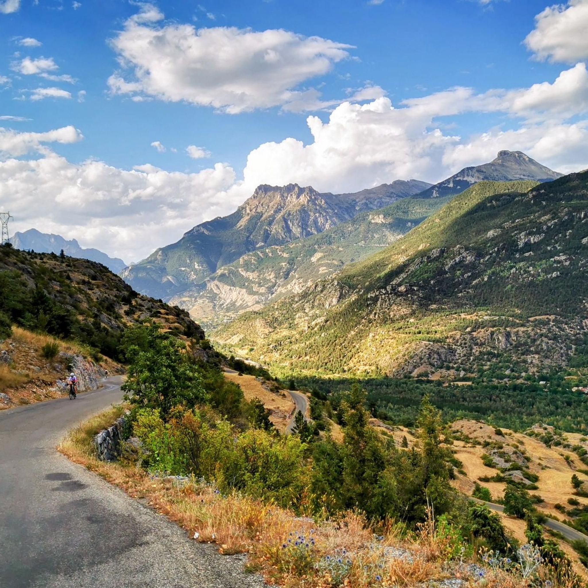
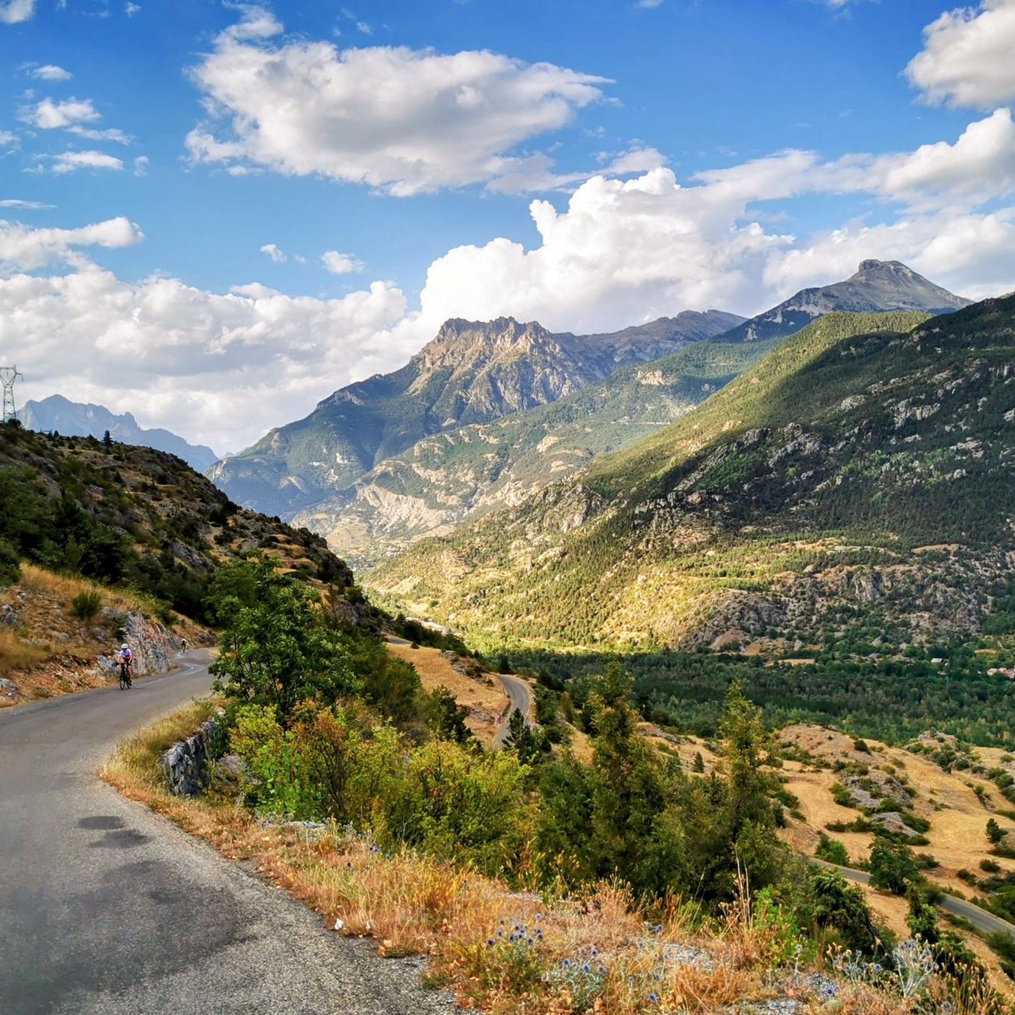
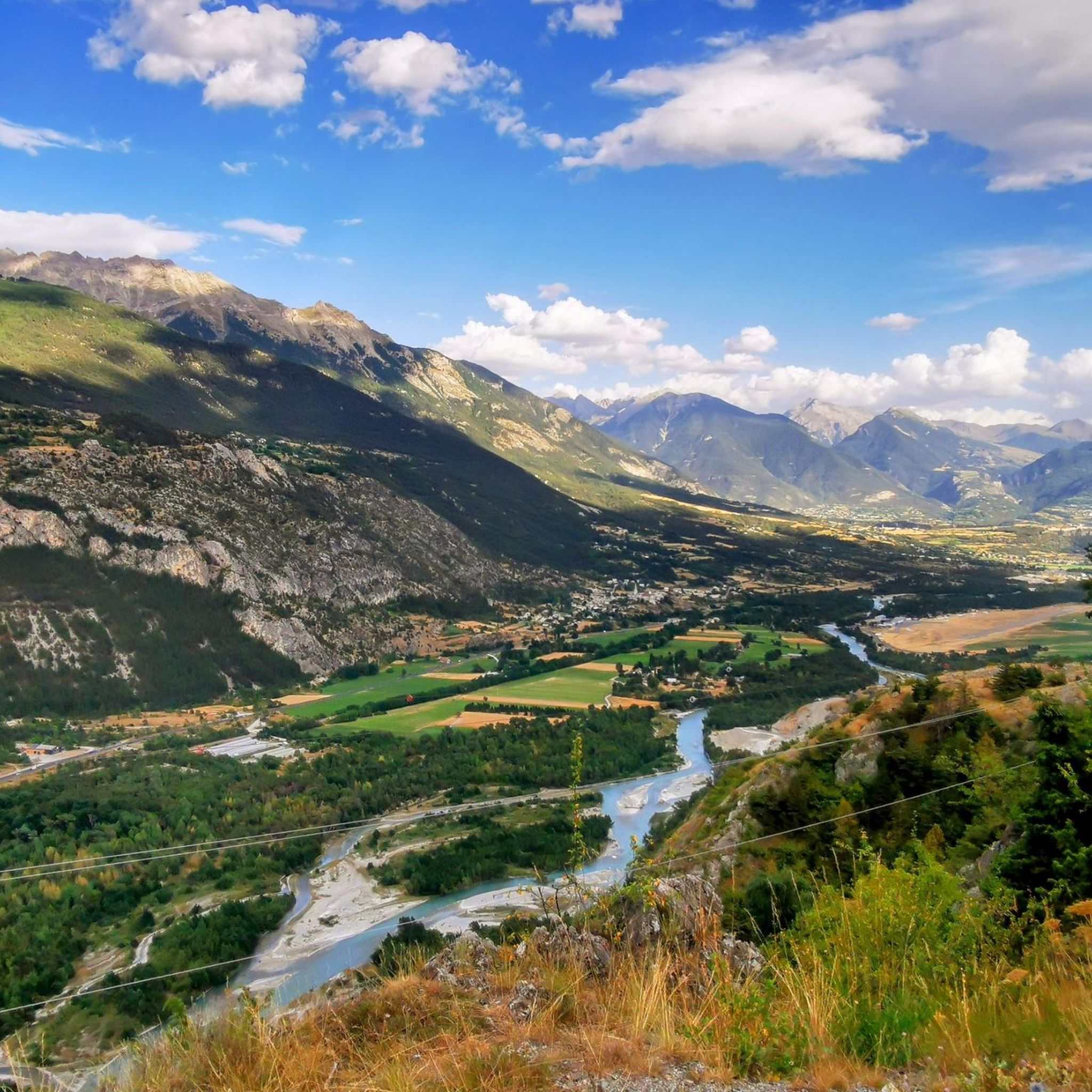
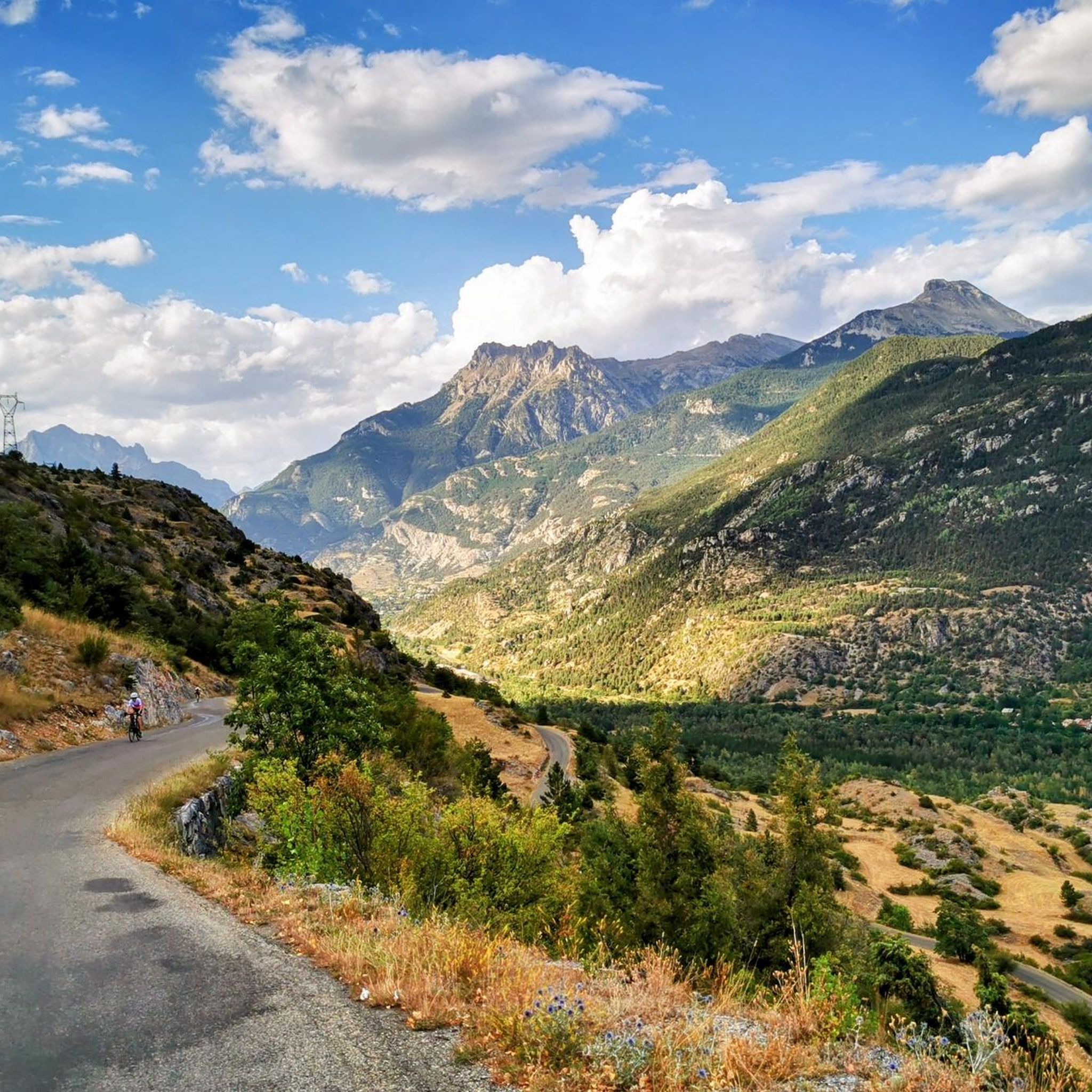
Hiking around Champcella offers diverse terrain, transitioning from the Durance riverbanks to high alpine pastures and the summit of Tête de Vautisse. The region serves as a gateway to the Pays des Écrins National Park, featuring extensive trail networks. Hikers can explore a stepped landscape, discover picturesque water features like Lac du Distroit and the Pisse waterfall, and traverse the Gourfouran Gorge. This area provides varied environments for outdoor exploration under a southern climatic influence.
Best hiking trails around Champcella
…Last updated: November 1, 2026
4.2
(11)
51
hikers
7.50km
02:00
90m
90m
Moderate hike. Good fitness required. Easily walkable paths.
4.3
(21)
72
hikers
4.80km
01:36
220m
220m
Easy hike. Easily walkable paths.

4.7
(7)
50
hikers
14.7km
05:07
690m
690m
Hard hike. Very good fitness required. Mostly walkable paths. Sure-footedness required.
5.0
(1)
11
hikers
10.2km
04:02
680m
680m
Moderate hike. Good fitness required. Mostly walkable paths. Sure-footedness required.
5.0
(2)
11
hikers
8.61km
02:30
220m
220m
Moderate hike. Good fitness required. Mostly walkable paths. Sure-footedness required.
Get access to more routes and recommendations from other explorers.
Already have an account?
Our route recommendations are based on thousands of hikes, rides, and runs completed by other people on komoot.
Start today with a free account
Your next adventure awaits.

Tips from the Community


Small cabin at the end of a path accessible by bike, even if sometimes you have to push a little, nothing too complicated on a mountain bike or gravel. A real little haven of peace, perfect for a snack or even spending a quiet night...
0
0

Cabane de Clot St-Jean, a small cabin hidden in one of the upper valleys of the Pays des Écrins (2017m). Checkpoint 1 of Le Pilgrimage 2024. We will be back in 2026, this time not as a checkpoint...
0
0

I think the description of the itinerary needs to be changed because the photos don't coincide with the point indicated
0
0

While you walk on the Crête de la Rortie you look out at beautiful steep rock formations.
0
0
Beautiful views from the bench on the Crête de la Rortie.
0
0
Wild lavender, juniper, thistles and much more along the way. Butterflies, bumblebees and crickets en masse.
0
0
Frequently Asked Questions
What types of hiking trails can I find around Champcella?
Champcella offers a diverse range of hiking trails, from easy walks along valley floors to challenging ascents into alpine pastures. The region's unique 'stepped landscape' means you can experience everything from the Durance riverbanks to high mountain environments. There are 13 routes in total, including 3 easy, 6 moderate, and 4 difficult options.
Are there any easy, family-friendly hikes in Champcella?
Yes, Champcella has several easy trails suitable for families. One excellent option is the Info table – Gourfouran Chasm loop from La Roche-de-Rame. This 4.8 km (3.0 miles) path explores the impressive Gourfouran Gorge, carved by the Biaysse river, and is generally considered an easy walk.
Can I find circular hiking routes in the Champcella area?
Many of the trails around Champcella are circular, allowing you to start and end at the same point. Popular options include the Belvédère de la Rortie loop from Champcella, a moderate 7.5 km route, and the more challenging Belvédère de la Rortie – Clôt du Puy loop from Champcella, which covers 14.7 km with significant elevation gain.
Are there any hikes that feature waterfalls or other water features?
Yes, the region is home to picturesque water features. You can explore trails that lead to the Pisse waterfall, and the Dormillouse waterfall – Byasse Waterfall loop from Champcella is a challenging 21.8 km route that incorporates these natural attractions. The area also features the Lac du Distroit and the Gourfouran Gorge.
What kind of natural landmarks or viewpoints can I expect to see on the trails?
Champcella offers stunning natural landmarks and viewpoints. You can enjoy panoramic views from the Rortie viewpoint, accessible via routes like the Belvédère de la Rortie loop from Champcella. The region is also a gateway to the Pays des Écrins National Park, known for its spectacular peaks and ridges. For specific viewpoints, consider visiting the View Between Col de Furfande and Col Garnier.
What do other hikers say about the trails in Champcella?
The hiking trails around Champcella are highly regarded by the komoot community, with an average rating of 4.6 stars from over 700 reviews. Hikers often praise the diverse terrain, ranging from valley views to alpine pastures, and the well-maintained network of paths that cater to various skill levels.
Are there any huts or shelters available along the hiking routes?
Yes, for longer hikes or multi-day excursions, there are several huts and shelters in the vicinity of Champcella. Notable options include the Dormillouse - School guesthouse, the Grands Plans Hut, and the Cabane de Clot St-Jean, providing convenient resting points.
What is the best time of year to go hiking in Champcella?
Champcella benefits from generous sunshine and a southern climatic influence, making it enjoyable for hiking across much of the year. Spring and autumn offer pleasant temperatures and vibrant landscapes. Summer is ideal for higher altitude trails, while winter provides opportunities for snowshoeing and ski touring in the nearby Freissinières valley, though specific hiking conditions will vary.
Are there any long-distance trails that pass through Champcella?
Yes, Champcella is situated on a segment of the GR 653D, which is part of the historic Camino de Santiago pilgrimage route. This offers opportunities for hikers interested in longer, multi-day journeys through the region.
What kind of wildlife might I encounter while hiking in Champcella?
The region around Champcella is home to diverse wildlife, especially within the preserved Pays des Écrins National Park. Hikers on trails, particularly those around Lac du Distroit, may have the chance to spot chamois, along with various bird species and other mountain fauna.
Are there any cultural or historical sites to explore near the hiking trails?
Beyond its natural beauty, Champcella boasts a rich architectural and historical heritage. You can discover ancient ovens, fountains, traditional stone houses, and the 14th-century church in the hamlet of Ville. The Saint-Laurent-de-Rame chapel and Gallo-Roman remains at the site of Rama, an ancient stop on the Roman road Via Cottia per Alpem, also offer interesting cultural insights.
Most popular routes around Champcella
Most popular attractions around Champcella

Get inspired with the komoot mobile app


Explore more
Browse the best Hikes in other regions.
