The best road cycling routes around Weiler
4.4
(671)
20,900
riders
197
rides
Road cycling around Weiler features a diverse landscape, characterized by significant elevation changes, mountain passes, and scenic valleys. The region offers routes that navigate through forested areas and past natural landmarks like lakes and waterfalls, alongside historical sites. Road cyclists can expect varied terrain, from challenging climbs to more rolling sections, providing a dynamic riding experience.
Best road cycling routes around Weiler
- The most popular road cycling route is Firstplan Pass – Pinot Bend loop from Moosch, a 75.7…
Last updated: October 8, 2026
4.9
(19)
1,875
riders
123km
07:12
3,030m
3,030m
Hard road ride. Very good fitness required. Some segments of this route may be unpaved and difficult to ride.
4.5
(12)
249
riders
47.1km
02:28
620m
620m
Moderate road ride. Good fitness required. Some segments of this route may be unpaved and difficult to ride.

5.0
(9)
274
riders
28.7km
01:51
830m
830m
Moderate road ride. Good fitness required. Some segments of this route may be unpaved and difficult to ride.
4.7
(3)
48
riders
28.0km
01:53
860m
860m
Moderate road ride. Good fitness required. Mostly well-paved surfaces and easy to ride.
4.0
(2)
90
riders
Moderate road ride. Good fitness required. Some segments of this route may be unpaved and difficult to ride.
Get access to more routes and recommendations from other explorers.
Already have an account?
Our route recommendations are based on thousands of hikes, rides, and runs completed by other people on komoot.
Start today with a free account
Your next adventure awaits.

Tips from the Community

The last hairpin bends on the east side of the Grand Ballon are among the most characteristic passages of the climb. Several bends are paved with natural stone (cobblestones and not setts), a reminder of the historic mountain road. Between the steep slopes and the impressive views, these cobblestone bends form a special approach to the highest peak of the Vosges.
2
0
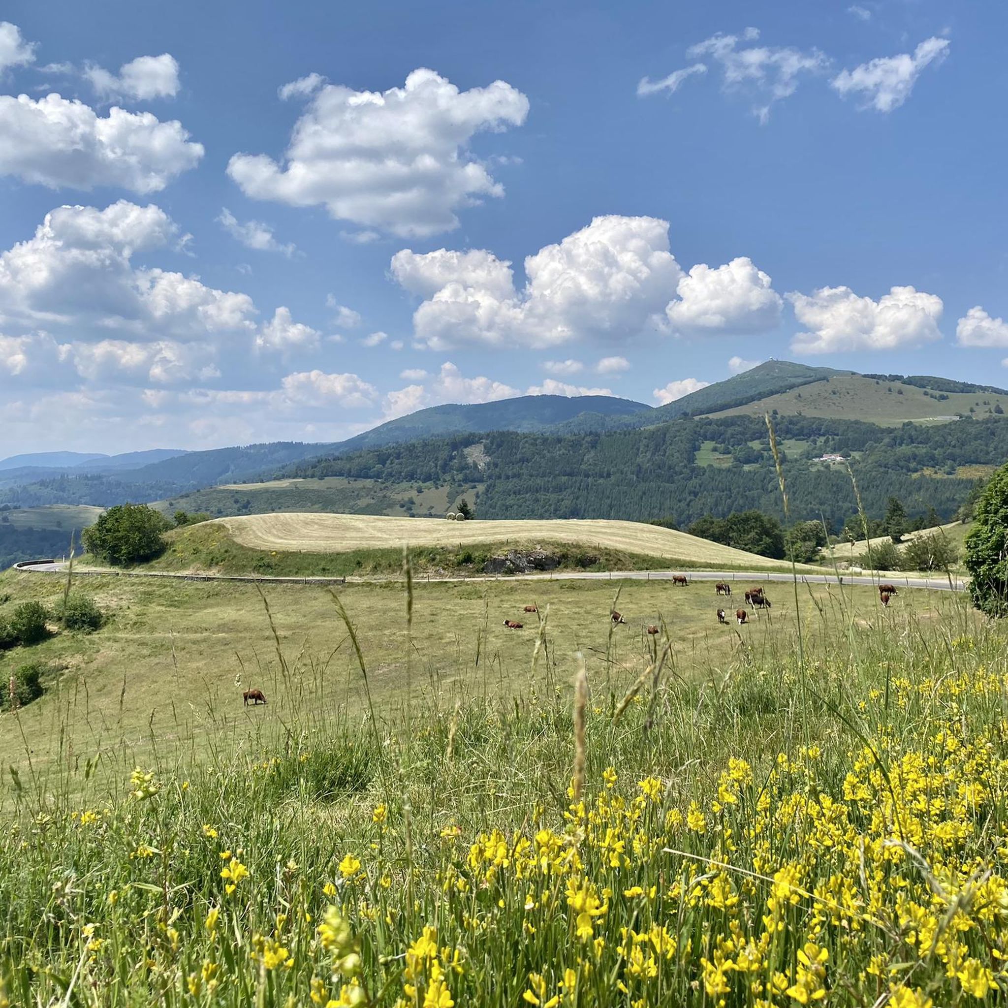
The bare mountain lends itself to beautiful panoramas.
2
0
Stuwdam Lac de Kruth‑Wildenstein View over the quiet mountain lake on one side, and on the other side the steep, wooded rock face of the Thur valley.
5
0
The Cascade du Bockloch is an atmospheric waterfall in Alsace (Haut-Rhin department), located on the wooded northeastern bank (right bank) of the Kruth-Wildenstein Lake. The waterfall is fed by the Hinterbockloch mountain stream, which originates on the slopes of the nearby Grand Ventron massif. Water plunges here via an abrupt, steep rock face about 12 meters down into a small, photogenic basin, just before it flows into the reservoir.
4
0

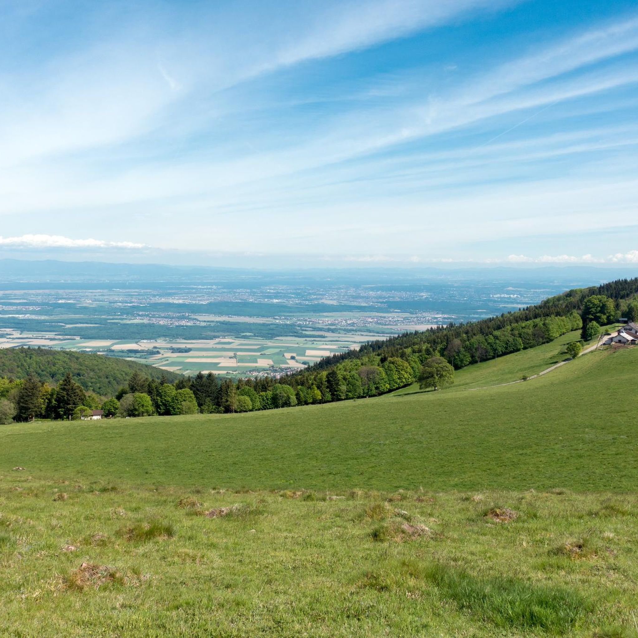
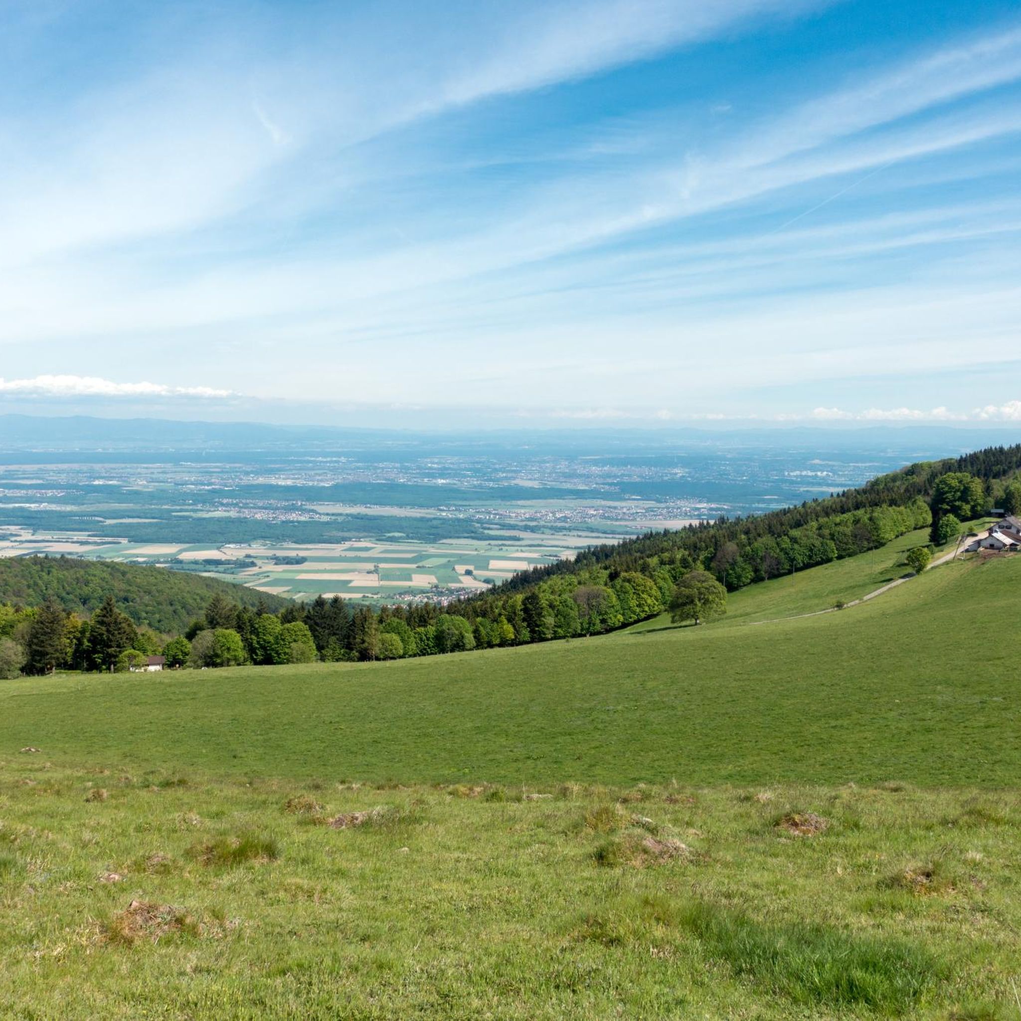
sensational view up to the Alps.
1
0

And on July 18, 2026, the Tour de France came up here. The finish was then in Le Markstein. The stage was won by Tadej Pogacar. He had attacked on this climb in the last two kilometers and no one could follow him.
2
0

beautiful climb to the summit
0
0
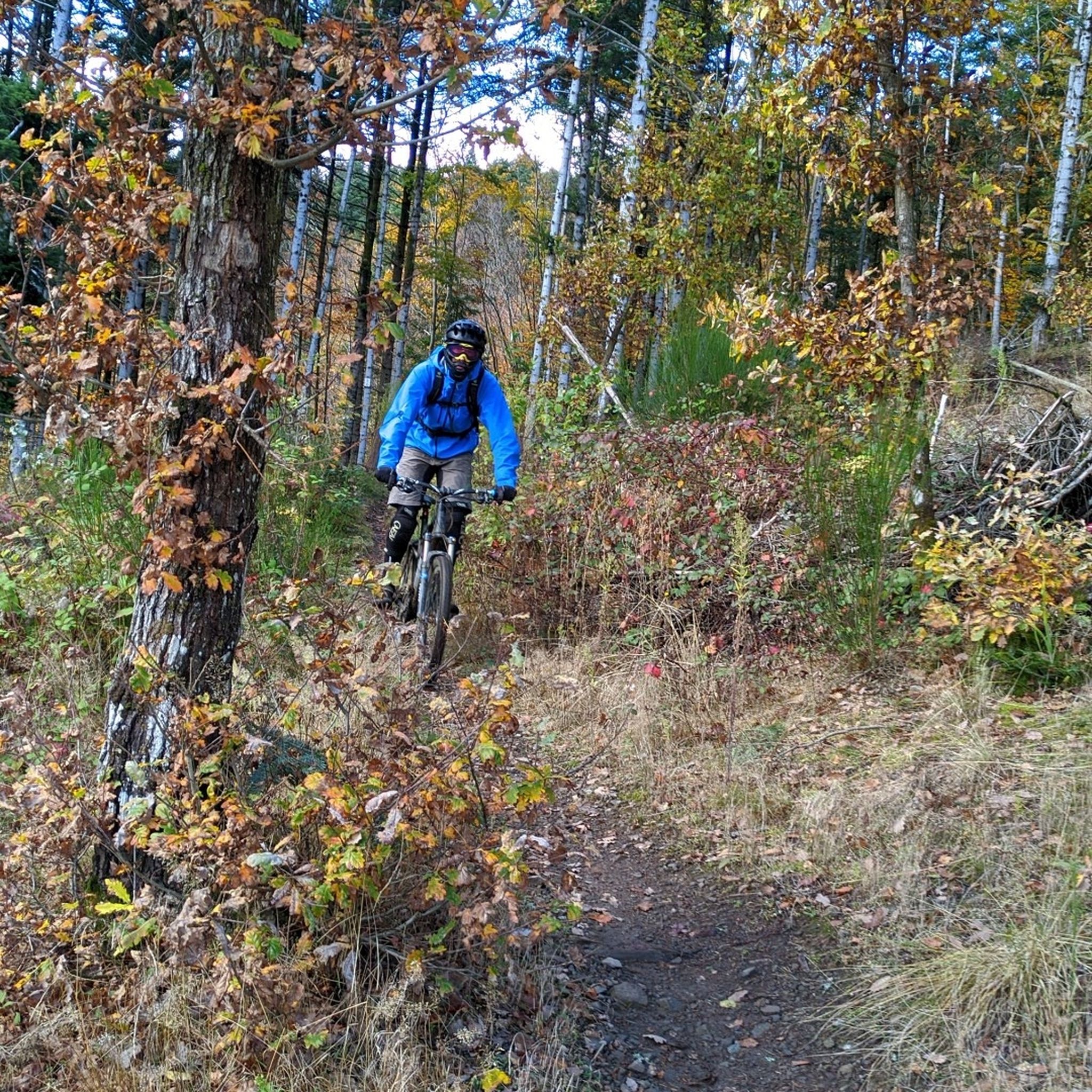
beautiful path to the summit
0
0
Frequently Asked Questions
How many road cycling routes are available in Weiler?
Weiler offers a wide selection of road cycling routes, with over 190 routes available for exploration. These routes cater to various skill levels, from easy rides to challenging ascents.
What kind of terrain can I expect on road cycling routes around Weiler?
Road cycling around Weiler features a diverse landscape characterized by significant elevation changes, mountain passes, and scenic valleys. You can expect varied terrain, from challenging climbs to more rolling sections, often navigating through forested areas and past natural landmarks.
Are there road cycling routes suitable for beginners in Weiler?
Yes, Weiler has a good number of routes suitable for beginners, with over 50 easy road cycling tours. These routes typically feature less demanding climbs and shorter distances, providing a great introduction to the region's beautiful scenery.
Are there challenging road cycling routes for advanced riders in Weiler?
Absolutely. For advanced road cyclists, Weiler offers over 35 difficult routes that feature significant ascents over mountain passes and demanding climbs. An example is the Firstplan Pass – Pinot Bend loop from Moosch, which covers over 75 miles with substantial elevation gain.
Can I find circular road cycling routes in Weiler?
Yes, many of the road cycling routes in Weiler are designed as loops, allowing you to start and end at the same point. Examples include the Lake Kruth-Wildenstein – Bockloch Waterfall loop from Geishouse and the Amic Pass – Climb to Grand Ballon loop from Willer-sur-Thur.
What are some scenic viewpoints or natural landmarks I can see while road cycling in Weiler?
The routes around Weiler offer numerous scenic views and natural landmarks. You might encounter stunning vistas from mountain peaks like Grand Ballon or enjoy the tranquility of Ballon Lake. The Lake Kruth-Wildenstein – Bockloch Waterfall loop from Geishouse specifically offers views of a lake and a waterfall.
Are there any historical sites or places of interest along the road cycling routes?
Yes, the region around Weiler features historical sites that can be incorporated into your rides. For instance, the Saint-Thiébaut Collegiate Church – Cernay - Vieux-Thann loop from Willer-sur-Thur passes by notable landmarks. You can also visit the Hartmannswillerkopf National Monument and Military Cemetery, a significant historical site in the area.
What do other road cyclists say about the routes in Weiler?
The road cycling routes in Weiler are highly rated by the komoot community, with an average score of 4.5 stars from over 550 reviews. More than 21,000 road cyclists have used komoot to explore the varied terrain, often praising the challenging climbs, scenic lake views, and well-maintained paths.
Are there longer road cycling routes for endurance training in Weiler?
Yes, for those seeking longer rides, Weiler offers routes that extend over significant distances. The Firstplan Pass – Pinot Bend loop from Moosch is a prime example, covering 75.7 miles (121.8 km) and taking over 7 hours to complete, making it ideal for endurance training.
Can I find shorter road cycling routes for a quick ride in Weiler?
Certainly. Weiler also provides options for shorter road cycling excursions. The Amic Pass – Climb to Grand Ballon loop from Willer-sur-Thur is a moderate 18.0-mile (28.9 km) trail that can be completed in under two hours, perfect for a quick yet scenic ride.
Are there road cycling routes that feature waterfalls or lakes?
Yes, some routes in Weiler highlight the region's natural beauty, including waterfalls and lakes. The Lake Kruth-Wildenstein – Bockloch Waterfall loop from Geishouse is a moderate path that specifically offers scenic views of a lake and a waterfall, providing a refreshing experience during your ride.
Most popular attractions around Weiler

Get inspired with the komoot mobile app


Explore more
Browse the best Road cycling routes in other regions.
