The best road cycling routes around Wegscheid
4.3
(455)
17,181
riders
124
rides
Road cycling around Wegscheid offers a diverse terrain characterized by picturesque hilly countryside and varied elevations. Situated at the foot of the Bavarian Forest, the region provides routes with significant ascent and descent, utilizing primarily paved roads. Cyclists can expect engaging rides through natural landscapes, with some routes extending into neighboring countries. The area's geographical position allows for a range of road conditions and panoramic views.
Best road cycling routes around Wegscheid
- The most popular road cycling route is Planche…
Last updated: October 9, 2026
5.0
(2)
136
riders
98.8km
04:45
1,390m
1,390m
Hard road ride. Very good fitness required. Mostly well-paved surfaces and easy to ride.
25
riders
18.0km
01:04
450m
450m
Moderate road ride. Good fitness required. Mostly well-paved surfaces and easy to ride.

4.2
(5)
51
riders
47.4km
01:59
280m
280m
Moderate road ride. Great for any fitness level. Some segments of this route may be unpaved and difficult to ride.
4.0
(1)
24
riders
36.0km
01:35
320m
320m
Moderate road ride. Good fitness required. Mostly well-paved surfaces and easy to ride.
29
riders
32.2km
01:41
550m
550m
Moderate road ride. Good fitness required. Mostly well-paved surfaces and easy to ride.
Get access to more routes and recommendations from other explorers.
Already have an account?
Our route recommendations are based on thousands of hikes, rides, and runs completed by other people on komoot.
Start today with a free account
Your next adventure awaits.


Tips from the Community

The Églises Saint-Martin (Sint-Martinuskerk) in Masevaux is a historic, neoclassical church in Alsace. The church is particularly known for its impressive organ history and the annual international organ festival
3
0
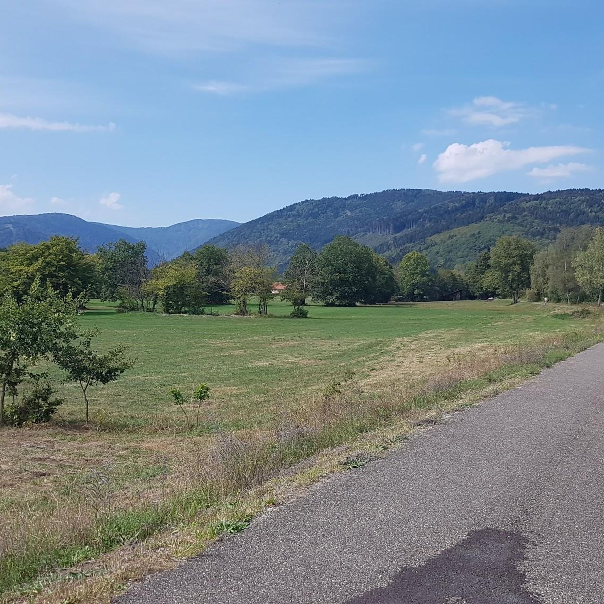
The Doller-fietspad (Voie Verte de la Vallée de la Doller) between Masevaux and Sewen largely follows a former railway line through the Doller valley in the southern Vosges. The route is approximately 10 to 12 km long, almost entirely car-free and asphalted. The gradient towards Sewen is very gradual, around 1%, making it a pleasant approach to the surroundings of the Ballon d'Alsace.
4
0
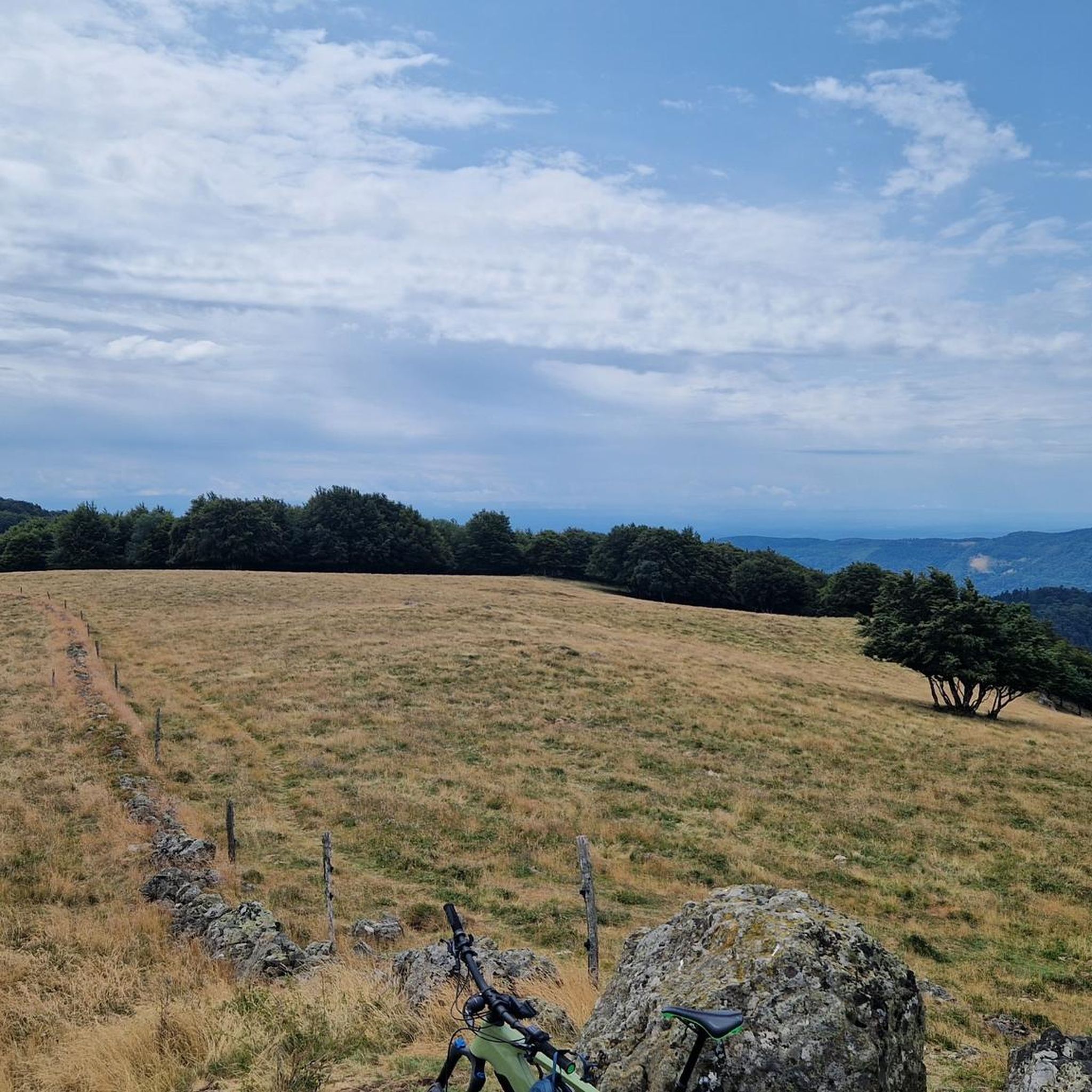
The Col du Hunsrück (748 m) is a quiet and wooded pass above Willer-sur-Thur. The steady climb and beautiful nature make this a pleasant classic in the southern Vosges, with connections to both the Thur and Dollervallei valleys.
3
0
La Planche des Belles Filles is a 5.8 kilometer climb. It is a category 1 climb. It is located in Plancher Les Mines, Franche-Comté, France. The average gradient of this climb is 8.6% with a maximum of 13.6%. La Planche des Belles Filles climbs from 527 meters at the start to 1,033 meters at the summit, for a total elevation gain of 506 meters.
4
0
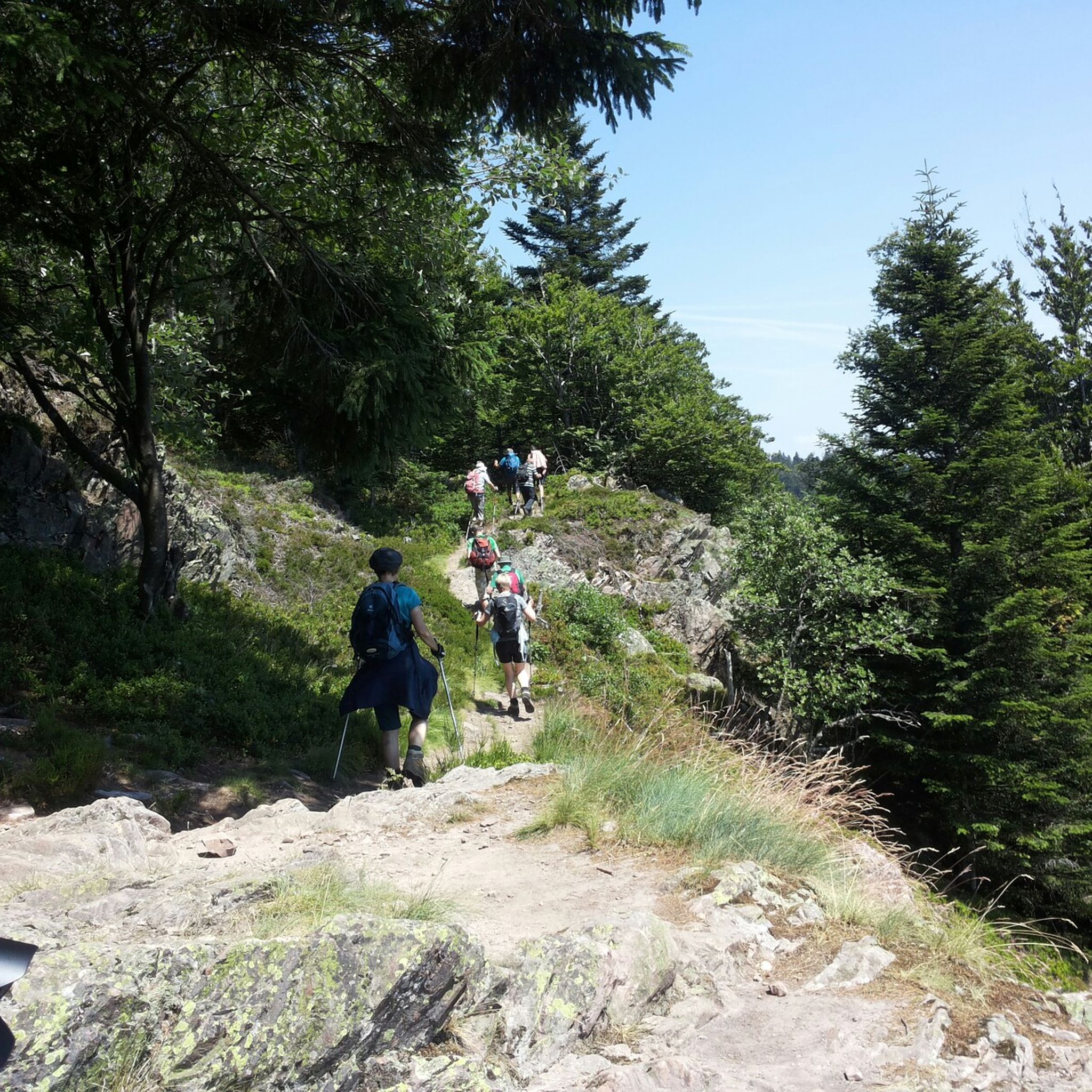
This 5.9-kilometer climb from the village of Plancher-les-Mines in Haute-Saône is one of the most difficult in the Vosges. Indeed, cyclists who want to try it will need to be at least somewhat trained. With a gradient of 24% towards the end of the route, it's better to be well-attached. The gradient never seems to ease, with its hairpin bends and, upon reaching the resort, the last 2 kilometers rise like a wall. However, you'll be able to say that you've done it, so come and try the climb of La Planche too!
5
0

Bahnhof Burnhaupt-le-Haut The Bahnhof Burnhaupt-le-Haut is located on the former railway line from Cernay to Sewen, which led through the Dollertal. The line was built in the 19th century and was of great importance for passenger and freight transport in the region. During the First World War, the station gained particular strategic importance. Burnhaupt was located immediately behind or close to the front line between German and French troops. The railway was used to transport soldiers, weapons, ammunition, and other supplies. Due to the fighting, the station was heavily damaged. After the war, the station building was rebuilt between 1921 and 1923. A building typical of the region with elements of Alsatian architecture was created. The station has largely been preserved to this day and serves as a reminder of the importance of the railway for the region's development and the destruction of the First World War. Regular passenger service on the line was discontinued in 1967, and the line was later closed. Part of the former railway line is now operated as a museum railway by Train Thur Doller Alsace. Historic locomotives and wagons run on the line through the Dollertal, making the history of the railway tangible for visitors. The Bahnhof Burnhaupt-le-Haut is therefore not only a former transport hub, but also a historic site where the history of the region, the railway, and the First World War converge. Further information and historical photos: Train Thur Doller Alsace – Bahnhof Burnhaupt
0
0

If you like to hurt and question gravity, this is the right place.
0
0
Frequently Asked Questions
What kind of terrain can I expect when road cycling around Wegscheid?
Road cycling around Wegscheid offers a diverse and engaging experience, characterized by picturesque hilly countryside and varied elevations. You'll encounter significant ascents and descents, primarily on paved roads, with some routes extending into the adjacent Bohemian Forest. The region's geographical position provides a range of road conditions and opportunities for panoramic views.
How many road cycling routes are available around Wegscheid?
There are over 120 road cycling routes available around Wegscheid, catering to various skill levels. This includes 24 easy routes, 77 moderate routes, and 25 difficult routes, ensuring options for every cyclist.
Are there challenging road cycling routes with significant climbs in the Wegscheid area?
Yes, Wegscheid is known for its challenging routes with substantial elevation gains. For instance, the Planche des Belles Filles – La Planche des Belles Filles loop from Sewen is a difficult route covering 99.1 km with over 1390 meters of ascent, offering sustained climbs for experienced cyclists.
Can I find moderate road cycling routes around Wegscheid?
Absolutely. Many moderate routes are available, perfect for those seeking a rewarding ride without extreme difficulty. A popular choice is the Hundsruck Pass – Hundsruck Pass loop from Masevaux-Niederbruck, which is 28.6 km long and includes significant ascents through varied terrain.
What do other road cyclists enjoy most about the routes in Wegscheid?
The road cycling routes in Wegscheid are highly rated by the komoot community, with an average score of 4.4 stars from over 265 reviews. Cyclists often praise the varied terrain, the engaging climbs, and the beautiful natural landscapes that define the region.
Are there any scenic viewpoints or natural landmarks along the road cycling routes?
Yes, the region offers several scenic points. Cyclists can enjoy panoramic views, such as those towards the Dreisesselberg. Notable natural features include the Ballon d'Alsace and the serene Lac des Perches (Star Lake). The Hundsruck Pass is also a significant landmark for cyclists.
Are there road cycling routes that allow for cross-border exploration?
Yes, Wegscheid's location near the German-Austrian and Czech borders provides unique opportunities for cross-border rides. Some routes, like the 'Wegscheid-Ulrichsberg-Wegscheid' mentioned in regional research, extend into neighboring countries, offering diverse cultural experiences and longer tours.
Are there any loop trails for road cycling in Wegscheid?
Yes, many road cycling routes around Wegscheid are designed as loops, allowing you to start and finish at the same point. An example is the Burnhaupt Station – Lake Michelbach loop from Sewen, a 47.4 km trail through diverse landscapes.
What is the best time of year for road cycling in Wegscheid?
While specific seasonal details are not provided, the varied terrain and natural beauty of Wegscheid suggest that spring through autumn would offer the most pleasant conditions for road cycling, with milder temperatures and vibrant landscapes. Always check local weather updates before heading out.
Are there any road cycling routes suitable for families or beginners?
Yes, among the 126 routes, there are 24 classified as 'easy', which are generally more suitable for families or beginner road cyclists. These routes typically feature less elevation gain and shorter distances, providing a gentler introduction to road cycling in the region.
What are some other notable attractions or points of interest near the road cycling routes?
Beyond the cycling routes, you can explore the Ballon d'Alsace, a prominent natural monument. The Jochenstein Rock Island on the German-Austrian border, featuring a statue of Saint John of Nepomuk, is another scenic point of interest. The region also boasts several mountain passes, such as Climb to Col Amic and Col de Bussang (731 m), which are popular with cyclists.
Most popular routes around Wegscheid
Most popular attractions around Wegscheid

Get inspired with the komoot mobile app


Explore more
Browse the best Road cycling routes in other regions.
