The best cycling routes around Guillestre
4.5
(385)
9,846
riders
21
rides
Touring cycling around Guillestre offers access to the high mountain scenery of the Queyras Regional Natural Park and the Ecrins National Park. The region is characterized by demanding mountain passes, including Col de Vars and Col de l'Izoard, and dramatic river gorges like the Gorges du Guil. Cyclists can navigate routes through dense coniferous forests, traditional villages, and along high-altitude lakes. This area provides a varied landscape for touring cyclists.
Best touring cycling routes around Guillestre
- The most popular touring…
Last updated: October 4, 2026
5.0
(3)
93
riders
37.6km
02:38
720m
720m
Hard bike ride. Very good fitness required. Mostly paved surfaces. Suitable for all skill levels.
4.8
(4)
77
riders
130km
09:28
2,810m
2,810m
Hard bike ride. Very good fitness required. Mostly paved surfaces. Suitable for all skill levels.

5.0
(1)
66
riders
28.1km
01:57
530m
530m
Hard bike ride. Very good fitness required. Mostly paved surfaces. Suitable for all skill levels.
5.0
(2)
44
riders
25.9km
02:06
790m
790m
Hard bike ride. Very good fitness required. Mostly paved surfaces. Suitable for all skill levels.
57
riders
56.2km
04:01
1,090m
1,090m
Hard bike ride. Very good fitness required. Mostly paved surfaces. Suitable for all skill levels.
Get access to more routes and recommendations from other explorers.
Already have an account?
Our route recommendations are based on thousands of hikes, rides, and runs completed by other people on komoot.
Start today with a free account
Your next adventure awaits.
Popular around Guillestre

Route des Grandes Alpes

Cycling from the Italian Riviera to the French Alps – Alpine Arc (part 1)
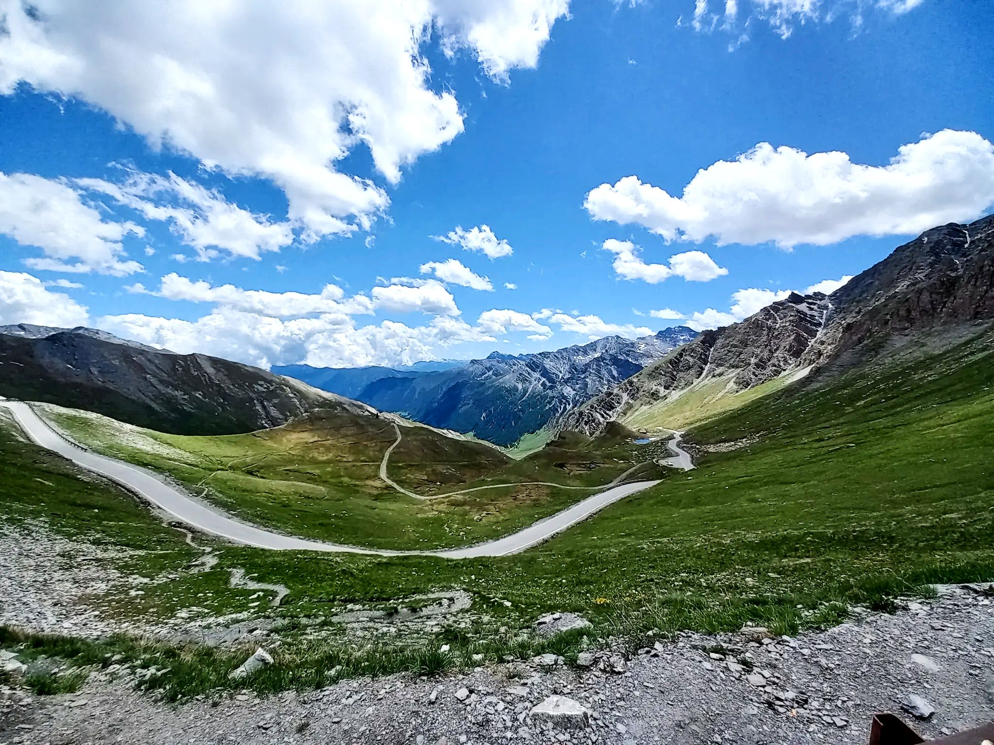
Lakes, white water and summits – Spain’s Queyras Mountains
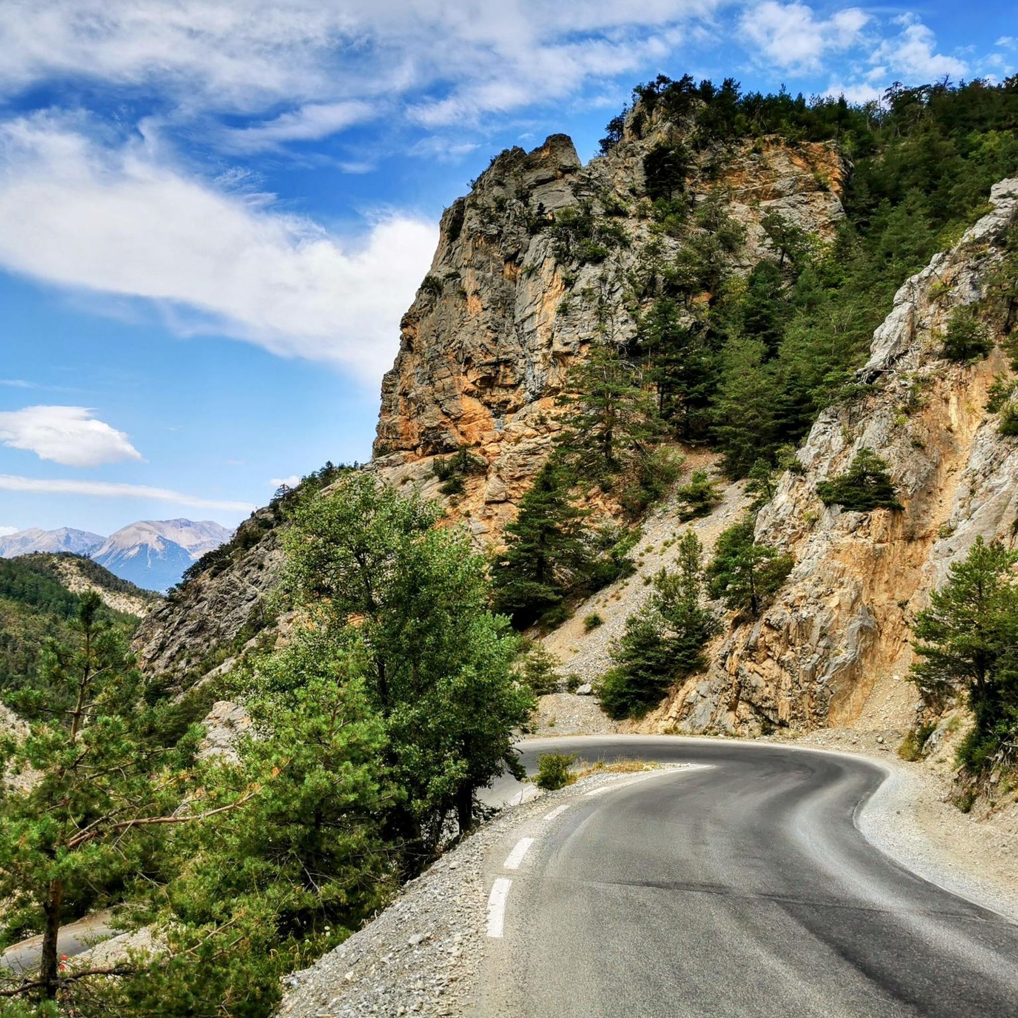
Road Cycling Routes around Guillestre
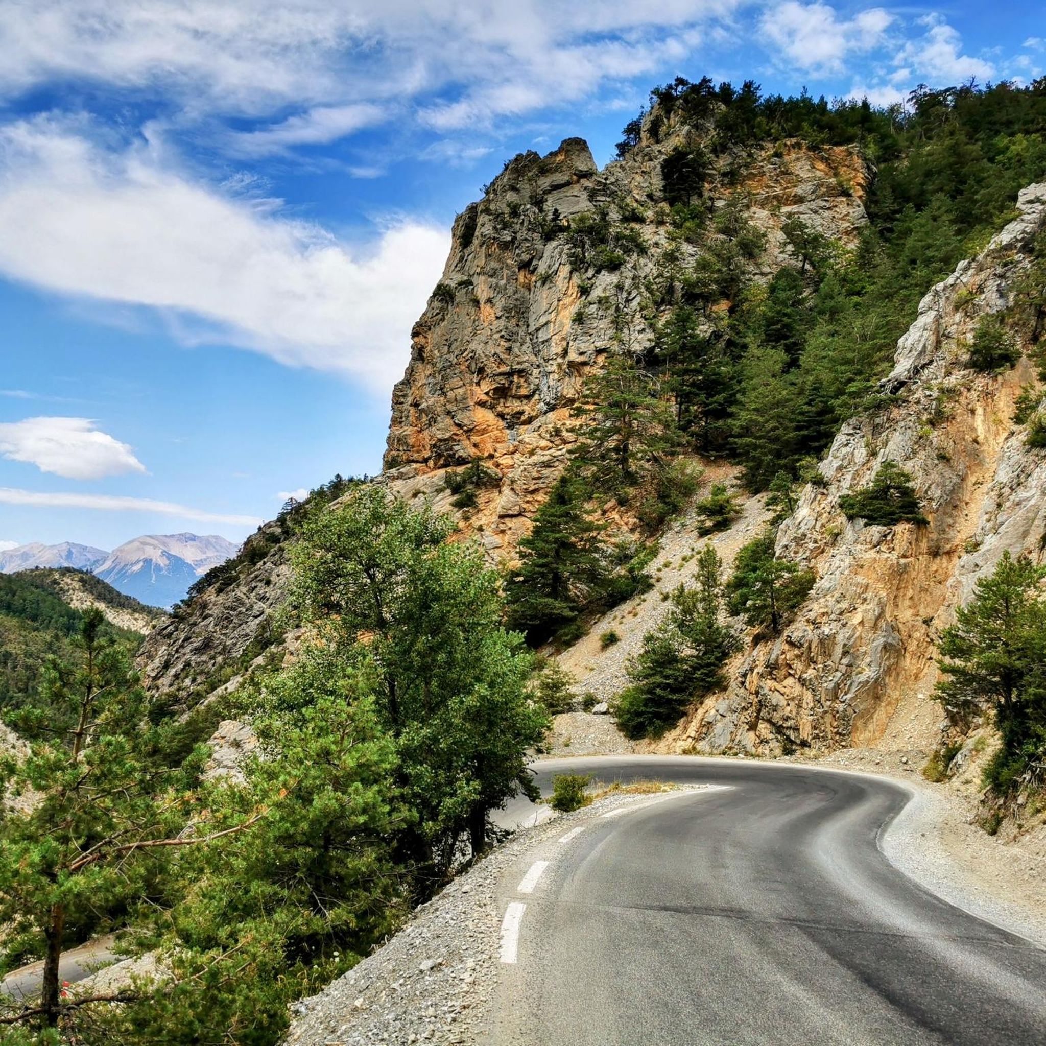
MTB Trails around Guillestre
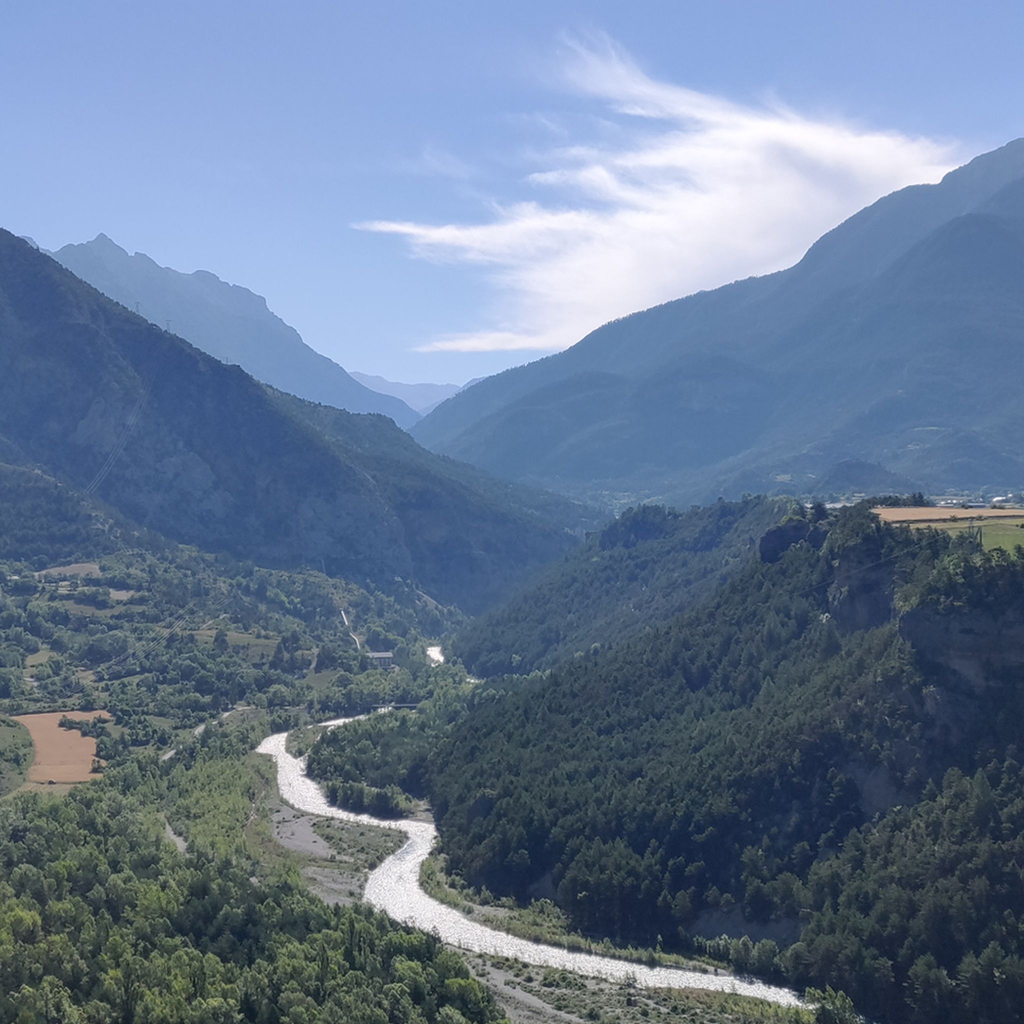
Hiking around Guillestre
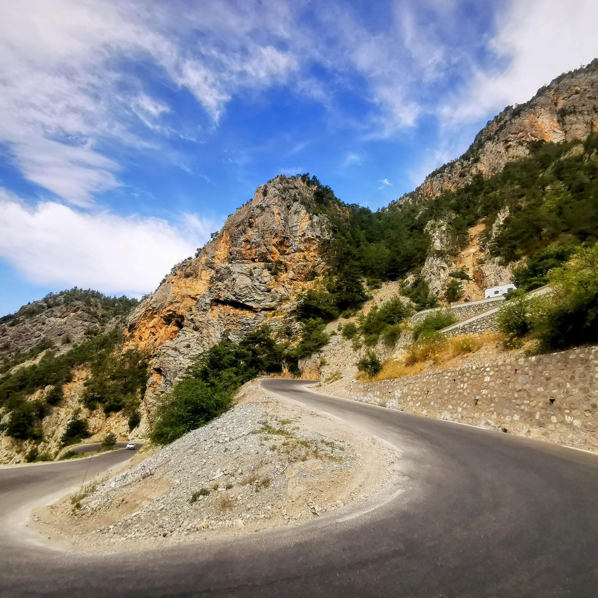
Running Trails around Guillestre

Gravel biking around Guillestre
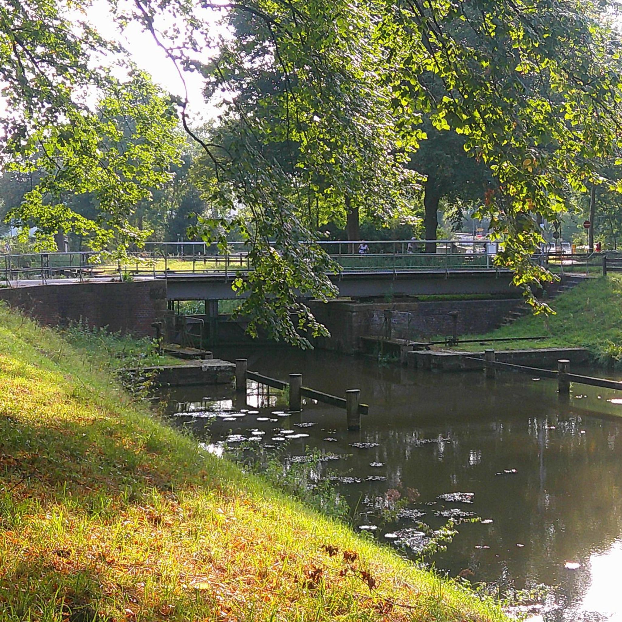
Mountain Hikes around Guillestre
Other adventures around Guillestre


Tips from the Community

The Castello di Château-Queyras (officially known as Fort Queyras) is a splendid medieval fortified castle located in the municipality of Château-Ville-Vieille, in the heart of the Queyras Regional Natural Park (Hautes-Alpes department, France). Situated at an altitude of 1,427 meters on a rocky outcrop overlooking the picturesque Guil valley, it holds the title of the highest medieval castle in France and is considered one of the country's best-preserved examples of alpine fortification.
0
0


A magnificent castle.
16
0
An almost fairytale passage, the Guil has carved the rock over millions of years.
14
0
Cycling through these gorges is a wonderful experience.
15
0
Strategic point for taking unforgettable photos
15
0

Rest area with tables and benches and two orientation tables, one facing north and one facing south.
0
0

Beautiful church on the Via Domizia
0
0
Frequently Asked Questions
How many touring cycling routes are available around Guillestre, and what are their difficulty levels?
There are over 20 touring cycling routes around Guillestre. These routes cater to various skill levels, with 4 easy, 10 moderate, and 6 difficult options, ensuring there's something for every touring cyclist.
Are there challenging touring cycling routes in the Guillestre region?
Yes, the Guillestre region is renowned for its challenging routes, featuring significant elevation gains over iconic Alpine passes. For instance, the Col de Vars – Eygliers Lake loop from Maison du Roy is a difficult 80.2-mile (129.1 km) route with over 2700 meters of ascent. Other demanding options include the Notre Dame d'Aquilon – Vars Sainte-Marie loop from Guillestre, which features ascents towards Vars Sainte-Marie.
What natural features and landmarks can I expect to see along touring cycling routes near Guillestre?
Touring cycling routes around Guillestre offer a rich tapestry of natural beauty and historical landmarks. You can expect to encounter the dramatic Gorges du Guil, the high mountain pass of Col de Vars, and tranquil spots like Mirror Lake. The region also provides access to the stunning landscapes of the Queyras Regional Nature Park and the Ecrins National Park, with their dense forests and traditional villages. The nearby Mont-Dauphin Fort, a UNESCO World Heritage site, also offers an intriguing historical detour.
Are there any easier touring cycling routes suitable for beginners or families around Guillestre?
Yes, there are several moderate and easy touring cycling routes suitable for beginners or families. While many routes involve some elevation, options like the La Remise de Sophie – Saint-Jacques Chapel loop from Risoul offer a more manageable distance and elevation gain. The region's diverse network includes paths that allow for a more relaxed pace, often following river valleys or lower-altitude areas.
Can I find circular touring cycling routes starting from Guillestre?
Absolutely. Many touring cycling routes in the Guillestre area are designed as loops, allowing you to start and finish in the same location. Examples include the Col de Vars – Eygliers Lake loop from Maison du Roy, the Notre Dame d'Aquilon – Vars Sainte-Marie loop from Guillestre, and the La Gyronde – Footbridge over the Guil loop from Guillestre.
What kind of elevation gain should I expect on touring cycling routes in the Guillestre area?
The Guillestre area, situated at the confluence of two national parks, is characterized by significant elevation changes. Routes can range from moderate climbs of a few hundred meters, such as the Bridge Over the Guil River – Le Pont du Simoust loop from Guillestre with over 300 meters of ascent, to challenging routes like the Col de Vars – Eygliers Lake loop, which features over 2700 meters of elevation gain. Be prepared for ascents, especially when tackling the famous mountain passes.
What is the best time of year for touring cycling in Guillestre?
Guillestre benefits from around 300 days of sunshine annually, making it an excellent destination for touring cycling. The best time is generally from late spring to early autumn (May to October) when the mountain passes are clear of snow and the weather is most favorable. Summer offers warm temperatures, while spring and autumn provide cooler conditions and vibrant scenery.
What do other touring cyclists enjoy the most about touring cycling in Guillestre?
The touring cycling experience in Guillestre is highly rated by the komoot community, with an average score of 4.4 stars from over 50 reviews. Cyclists often praise the region's varied terrain, from challenging mountain passes to scenic river gorges, and the stunning views of the Queyras and Ecrins National Parks. The well-maintained routes and the opportunity to explore traditional villages are also frequently highlighted.
Are there options for long-distance touring cycling routes that pass through Guillestre?
Yes, Guillestre is a key stage on the famous "Route des Grandes Alpes," a renowned long-distance cycling route connecting various valleys with continuous scenic vistas. You can find more information about sections of this route, such as Guillestre to Barcelonnette or Briançon to Guillestre, on France Vélo Tourisme's website. For example, see the Guillestre-Barcelonnette section or the Briançon-Guillestre section.
Is public transport available to access touring cycling routes around Guillestre?
Guillestre serves as a regional hub, and while specific public transport options directly to every trailhead may vary, there are generally bus services connecting Guillestre to surrounding villages and towns. These can often facilitate access to different starting points for touring cycling routes, especially within the Queyras Regional Natural Park. It's advisable to check local bus schedules for the most current information.
Are there any specific viewpoints or scenic spots recommended for touring cyclists in Guillestre?
The entire region around Guillestre offers breathtaking views, particularly from the high mountain passes. The ascent of Col de Vars and Col de Vars from Les Gleizolles provides expansive panoramas. The Gorges du Guil also offer dramatic vistas as you cycle alongside or above the canyon. Additionally, areas within the Queyras Regional Nature Park and near high-altitude lakes like Mirror Lake are known for their scenic beauty.
Most popular routes around Guillestre
Most popular attractions around Guillestre

Get inspired with the komoot mobile app


Explore more
Browse the best Cycling routes in other regions.
