The best mountain hikes around Saint-Nazaire-Les-Eymes
4.7
(21)
294
hikers
20
hikes
Mountaineering routes around Saint-Nazaire-Les-Eymes offer access to the varied terrain of the French Alps foothills, characterized by significant elevation changes, forested slopes, and prominent peaks. The region provides a range of challenging ascents and scenic traverses, often leading to panoramic views of the surrounding valleys and mountains. These routes frequently navigate through alpine landscapes, featuring both open ridges and sheltered sections.
Best mountaineering routes around Saint-Nazaire-Les-Eymes
- The most popular mountaineering route is Le pas de l'œil – Dent de Crolles…
Last updated: October 4, 2026
4.3
(3)
41
hikers
7.31km
04:05
690m
690m
Hard mountaineering route. Good fitness required. Sure-footedness, sturdy shoes and alpine experience required.
5.0
(3)
20
hikers
Hard mountaineering route. Very good fitness required. Sure-footedness, sturdy shoes and alpine experience required.

18
hikers
3.74km
02:29
410m
410m
Hard mountaineering route. Good fitness required. Sure-footedness, sturdy shoes and alpine experience required.
5.0
(1)
14
hikers
11.6km
03:56
510m
510m
Moderate mountaineering route. Good fitness required. Mostly accessible paths. Sure-footedness required.
5.0
(1)
20
hikers
6.55km
03:47
630m
620m
Hard mountaineering route. Good fitness required. Sure-footedness, sturdy shoes and alpine experience required.
Get access to more routes and recommendations from other explorers.
Already have an account?
Our route recommendations are based on thousands of hikes, rides, and runs completed by other people on komoot.
Start today with a free account
Your next adventure awaits.
Popular around Saint-Nazaire-Les-Eymes
Other adventures around Saint-Nazaire-Les-Eymes

Tips from the Community

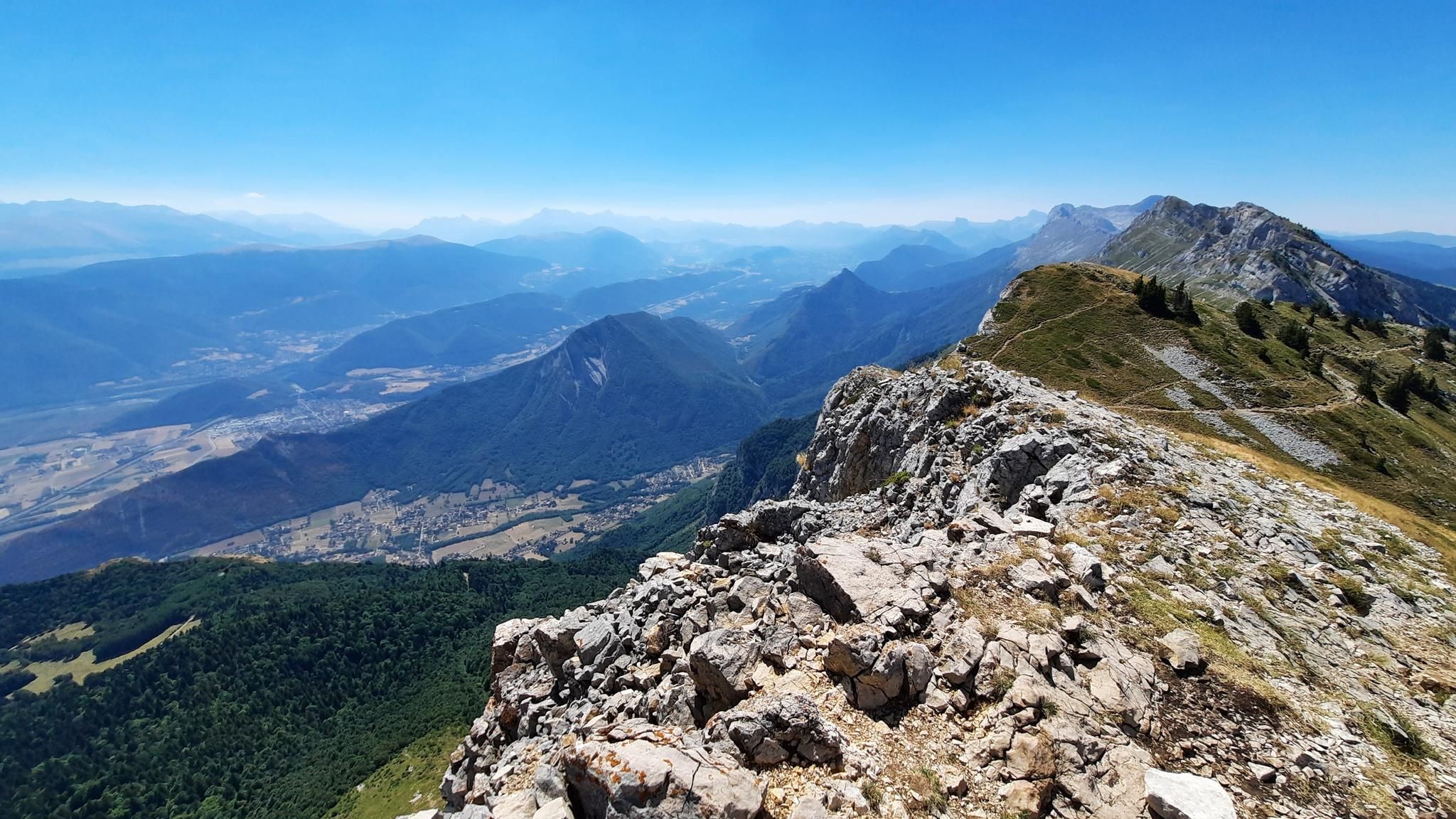
The Dent de Crolles, at 2,062 meters, is one of the best-known peaks in the Chartreuse. The striking limestone mountain towers high above the surrounding area and offers, on a clear day, a magnificent view of the Alps and the Grenoble valley. The hike there leads through varied mountain pastures, rocky terrain, and impressive limestone landscapes. A strenuous climb, but the views and the special atmosphere of the Chartreuse make it absolutely worthwhile.
0
0
The Dent de Crolles, at 2,062 meters, is one of the best-known peaks in the Chartreuse. This distinctive limestone mountain towers high above the surrounding area and offers, on a clear day, a magnificent view over the Alps and the Grenoble valley. The hike there leads through varied mountain meadows, rocky terrain, and impressive limestone landscapes. A strenuous climb, but the views and the special atmosphere of the Chartreuse make it absolutely worthwhile.
0
0

The Arnaud pass is a cable-equipped passage very exposed to the void. Experience with airy paths recommended. Not recommended for descent. No escape possible.
0
0

The Brèche Arnaud is a chimney passage in the cliff, about 80 m of climbing, there is a cable that allows you to secure yourself. Alpine hiking experience is essential to venture there.
0
0
Very beautiful view when the sky is clear, remember to take a windbreaker at the summit, you will find ibexes. The area is really very simple and does not require strong hiking / trail experience (for the altitude 2930 I think)
1
0
In winter as in summer it is perfect, full of spots for bivouacking, a walk or a trail, there are no dangerous areas, and all the passages are simple and well indicated! 👌
0
0
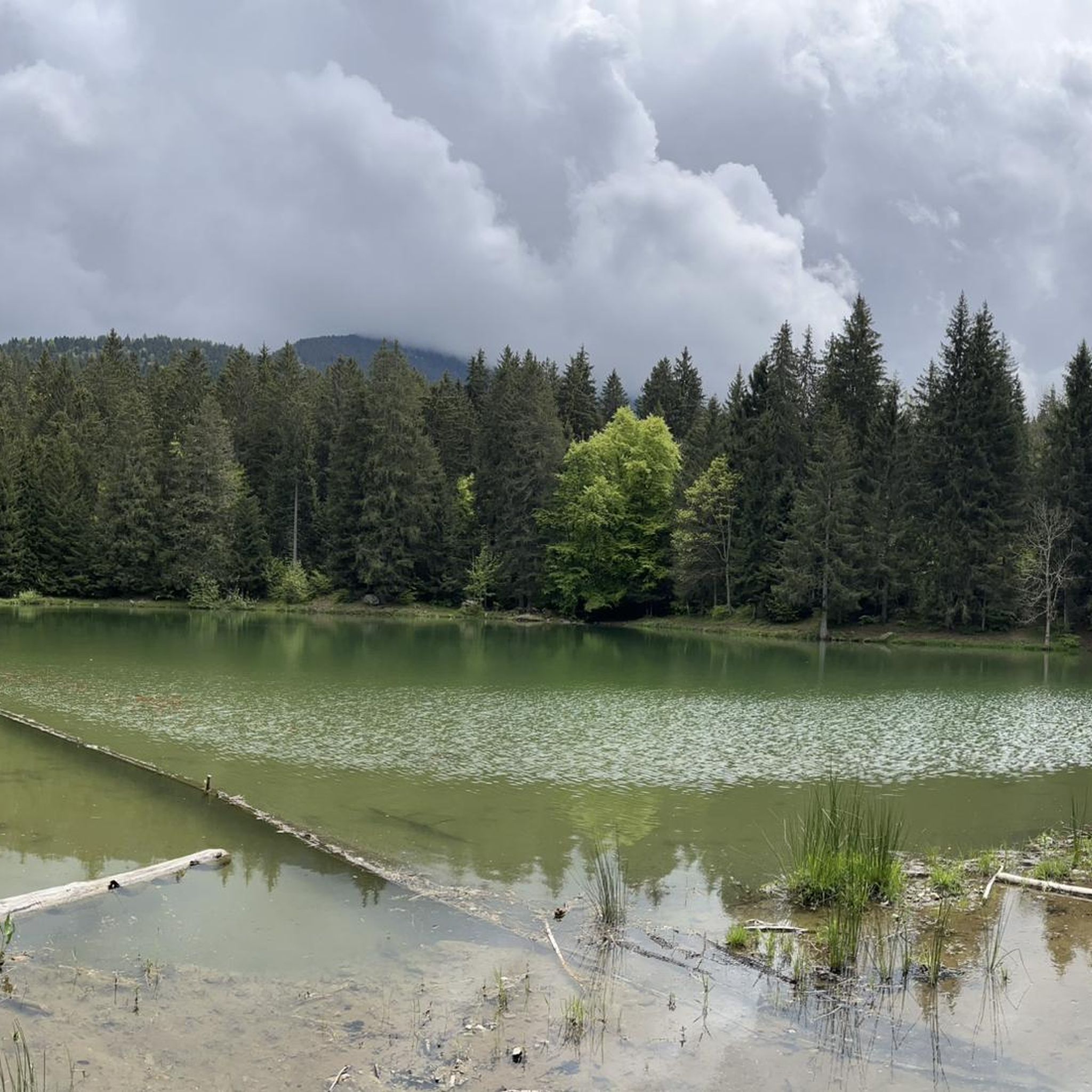
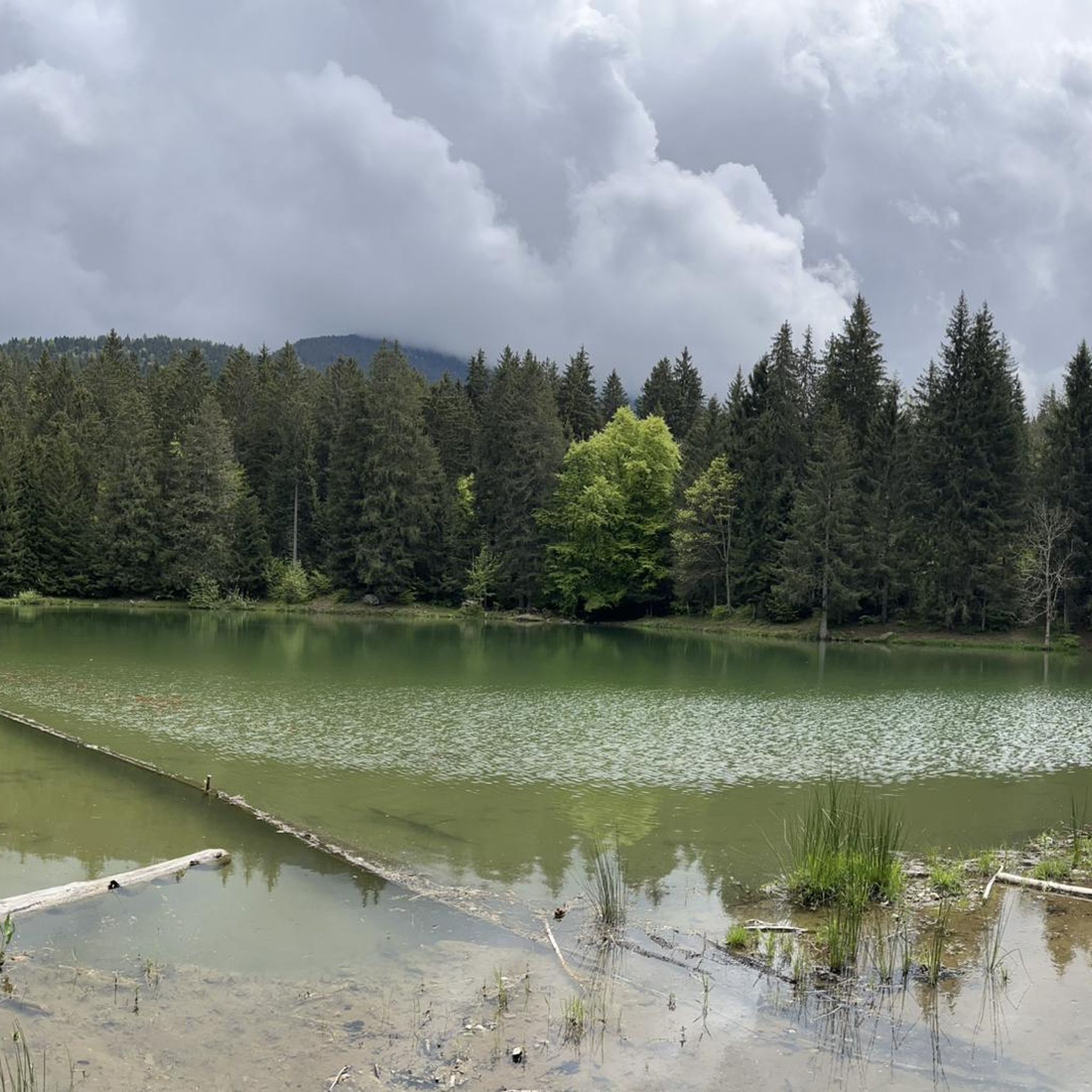
Magnificent lake! Accessible to all! As a bonus, you'll find ibexes and a few marmots if you're lucky. For the more courageous, you can climb to an altitude of 2,900 m by continuing on the path with a magnificent view if the sky is clear!
0
0

Once you start, you can't go back. I only continued at the top because a hiker pulled my backpack up with a rope. I was stuck with my backpack. Or you can pull yourself up 3 meters on the rope, which is a risky task... I couldn't do that. There are many risky, steep sections. Safety would be advisable.
0
0
Frequently Asked Questions
How many mountaineering routes are available around Saint-Nazaire-Les-Eymes?
There are over 25 dedicated mountaineering routes in the Saint-Nazaire-Les-Eymes area, offering a variety of challenges within the French Alps foothills. These routes are generally categorized as moderate to difficult, with no easy options available for mountaineering.
Are there any beginner-friendly mountaineering routes in Saint-Nazaire-Les-Eymes?
The mountaineering routes around Saint-Nazaire-Les-Eymes are primarily designed for experienced hikers, with options ranging from moderate to difficult. There are no routes specifically classified as 'easy' for mountaineering in this guide. Beginners should consider routes with less elevation gain and shorter distances, or seek guided experiences.
What are some challenging mountaineering routes in the region?
For those seeking a significant challenge, the Lac du Crozet – Lake Doménon loop from La Pliou - Pré Raymond is a demanding 20.9 km (13.0 miles) route with substantial elevation gain, typically taking over 10 hours. Another difficult option is the Lac du Crozet loop from Freydières, covering 11.9 km (7.4 miles) with considerable ascent.
Are there any circular mountaineering routes around Saint-Nazaire-Les-Eymes?
Yes, many of the mountaineering routes in the area are circular, allowing you to return to your starting point. Examples include the challenging Le pas de l'œil – Dent de Crolles loop from Saint-Pancrasse and the moderate Oratoire d'Orgeval – Col de la Chavanette Signpost loop from Chamechaude.
What kind of views can I expect on these mountaineering routes?
The mountaineering routes in Saint-Nazaire-Les-Eymes offer panoramic views of the surrounding valleys and mountains, characteristic of the French Alps foothills. Many ascents lead to prominent peaks and ridges, providing expansive vistas. Routes like the Le pas de l'œil – Dent de Crolles loop offer sustained climbing towards the notable Dent de Crolles, rewarding you with stunning scenery.
What is the best season for mountaineering in Saint-Nazaire-Les-Eymes?
The best season for mountaineering in Saint-Nazaire-Les-Eymes is typically late spring through early autumn (May to October) when the weather is more stable and snow has largely melted from higher elevations. However, conditions can change rapidly in the mountains, so always check local forecasts and trail conditions before heading out.
What do other mountaineers enjoy most about the routes here?
The mountaineering routes around Saint-Nazaire-Les-Eymes are highly rated by the komoot community, with an average score of 4.7 stars from over 40 reviews. Users frequently praise the challenging ascents, the varied alpine landscapes, and the rewarding panoramic views of the surrounding valleys and peaks.
Are there any notable landmarks or attractions along the mountaineering routes?
Yes, the region offers several interesting landmarks. Along some routes, you might encounter significant summits like Dent de Crolles or Chamechaude. Mountain passes such as Col de Porte (1326 m) and Col du Cucheron are also prominent features. Additionally, the historic Fort of Saint-Eynard offers a glimpse into the area's past.
Are there any mountaineering routes suitable for a half-day trip (around 4 hours)?
Yes, if you're looking for a mountaineering route that can be completed in approximately 4 hours, the Le pas de l'œil – Dent de Crolles loop from Saint-Pancrasse is a difficult 7.6 km (4.7 miles) trail that typically takes around 4 hours to complete. Another option is L'Écoutoux loop from Le Sappey-en-Chartreuse, a difficult 3.7 km route that can also be done in a similar timeframe.
What should I know about parking for mountaineering routes in Saint-Nazaire-Les-Eymes?
Parking availability can vary depending on the specific trailhead. Many mountaineering routes in the region, particularly those starting from smaller villages or mountain hamlets, often have designated parking areas. It's advisable to check the starting point of your chosen route on komoot for specific parking information or local recommendations before you set out.
Can I find routes that lead to high-altitude lakes?
Absolutely. The region is known for its high-altitude lakes. The Lac du Crozet loop from Freydières leads to the scenic Lac du Crozet, surrounded by alpine scenery. For a longer adventure, the Lac du Crozet – Lake Doménon loop from La Pliou - Pré Raymond will take you through multiple high-altitude lakes and mountain passes.
Most popular routes around Saint-Nazaire-Les-Eymes
Most popular attractions around Saint-Nazaire-Les-Eymes

Get inspired with the komoot mobile app


Explore more
Browse the best Mountain Hikes & Routes in other regions.
