The best walks and hikes around Linthal
4.6
(1705)
8,837
hikers
68
hikes
Hiking around Linthal offers diverse landscapes, from the mountainous terrain of the Vosges to serene forests and river valleys. The region features significant elevation changes, with trails ranging from gentle ascents to challenging climbs. Hikers can explore picturesque lakes and captivating waterfalls, which are prominent natural features. This varied topography provides a range of experiences for different fitness levels.
Best hiking trails around Linthal
- The most popular hiking route is Tour of Markstein Trail, a 5.2 miles (8.4 km) moderate trail that takes about 2 hours 33 minutes to complete. This route offers expansive views across the Vosges mountains.
- Another top favourite among local hikers is Ballon Lake Circuit, a moderate 7.2 miles (11.5 km) path. This trail encircles a scenic lake, providing a tranquil experience through varied terrain.
- Local hikers also love the Seebach Waterfall – Ballon Lake loop from Linthal, a 10.7 miles (17.2 km) trail leading through gorges with impressive waterfalls and culminating at Lac du Ballon, often completed in about 5 hours 37 minutes.
- Hiking around Linthal is defined by mountainous terrain, pristine lakes, and dense forests. The network offers options for easy walks, moderate day hikes, and difficult multi-hour treks.
- The routes in Linthal are highly rated by the komoot community with an average score of 4.6 stars from over 1,500 reviews. More than 8,000 hikers have used komoot to explore Linthal's varied terrain.
Last updated: September 26, 2026
4.6
(59)
289
hikers
8.44km
02:33
280m
280m
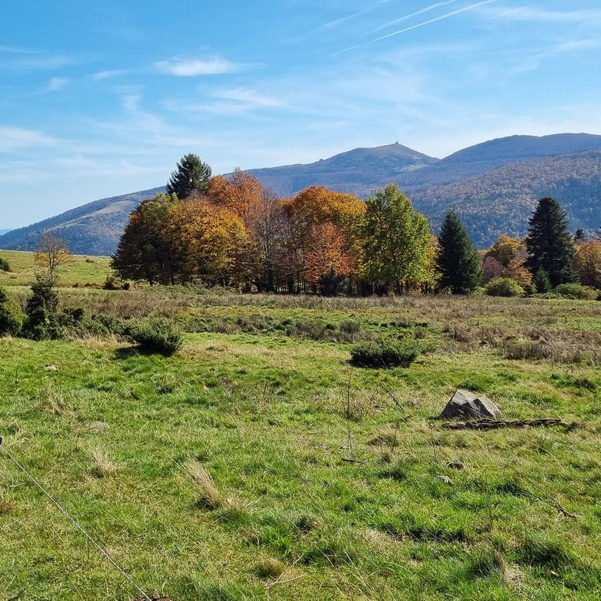
Hike the moderate 5.2-mile Tour of Markstein Trail in the Vosges mountains, featuring panoramic views and Lake Lauch.
4.7
(23)
139
hikers
11.5km
03:53
570m
570m
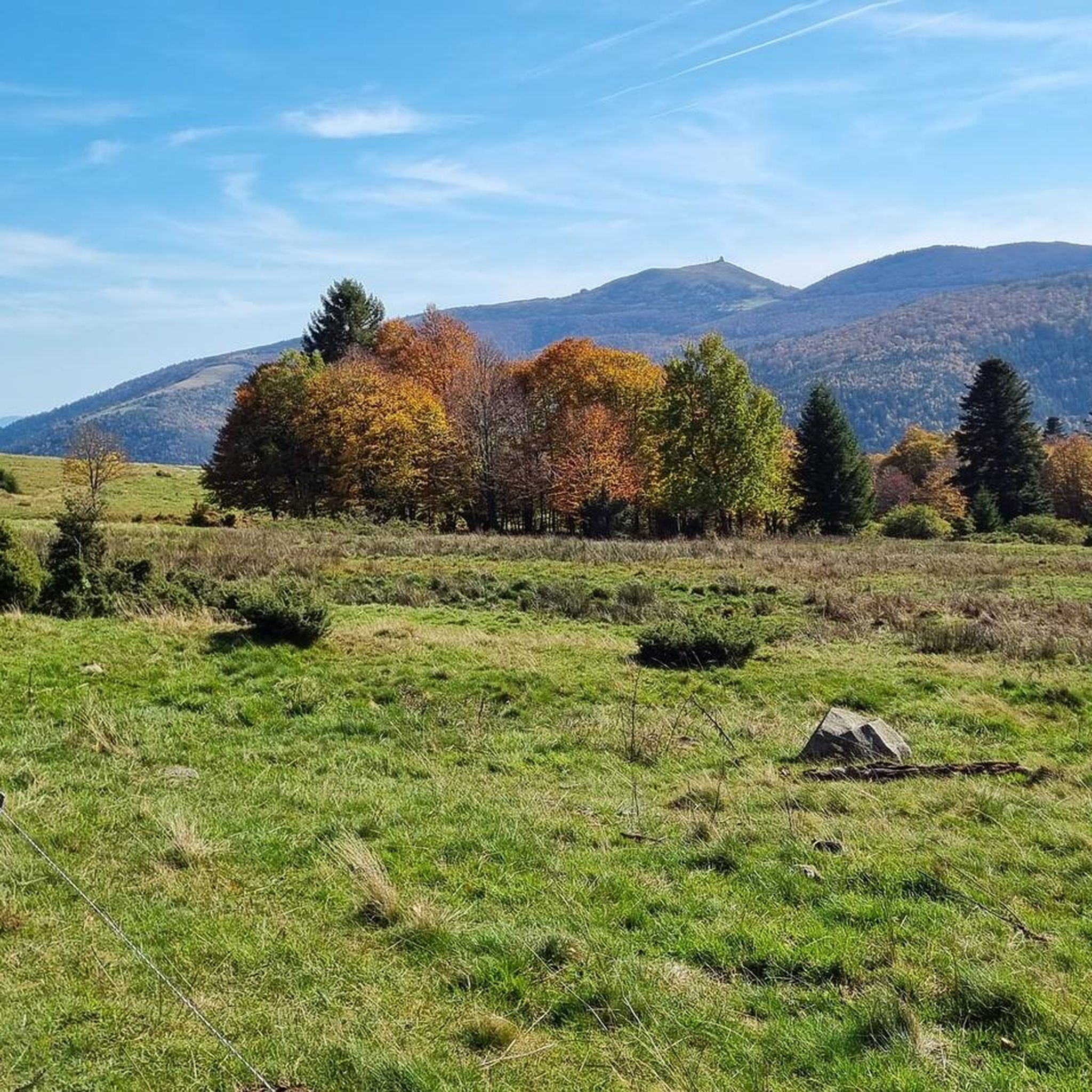
Hike the moderate 7.2-mile Le lac du Ballon loop from Hoefen, gaining 1855 feet through the Parc Naturel Régional des Ballons des Vosges.

4.9
(12)
76
hikers
Hard hike. Very good fitness required. Mostly accessible paths. Sure-footedness required.
4.7
(37)
139
hikers
9.98km
03:15
390m
390m
Moderate hike. Good fitness required. Mostly accessible paths. Sure-footedness required.
4.9
(12)
110
hikers
16.8km
05:27
670m
670m
Hard hike. Very good fitness required. Mostly accessible paths. Sure-footedness required.
Get access to more routes and recommendations from other explorers.
Already have an account?
Our route recommendations are based on thousands of hikes, rides, and runs completed by other people on komoot.
Start today with a free account
Your next adventure awaits.

Tips from the Community


The lake is beautifully situated and has great spots for picnicking. Take a rain jacket even in good weather. If the clouds, as they often come from the west, can easily rain here, so that the clouds come over the mountain range of the Grand Ballon.
0
0

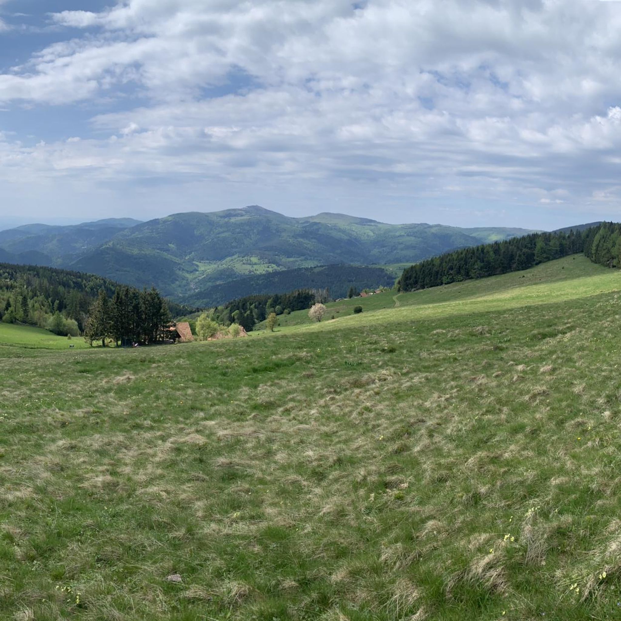
There is a very nice view over the Sondernach Valley.
0
0

This farm was super helpful. They were short on water and yet, they still shared some with me.
0
0
It is easier than it looks but with the heat everything was more difficult.
0
0
This refuge was heaven sent. By this moment, my water reserves were comletely depleted. The refuge provided exactly that: refuge. The carer was super friendly and helpful, giving me water and again, suggesting places of where to camp.
1
0
Frequently Asked Questions
How many hiking trails are available in Linthal?
Linthal offers a diverse network of over 60 hiking trails. These routes cater to various preferences, from gentle walks to challenging multi-hour treks.
What are the typical difficulty levels for hiking in Linthal?
The hiking trails in Linthal range from easy to difficult. You'll find approximately 10 easy routes, 33 moderate trails, and 17 difficult treks, ensuring options for all fitness levels and experience.
Are there any hikes in Linthal that feature waterfalls?
Yes, Linthal is known for its picturesque waterfalls. A notable trail is the Seebach Waterfall – Ballon Lake loop from Linthal, which leads through gorges with impressive waterfalls before reaching Lac du Ballon. The Berglistüber Waterfall, often cited as one of Switzerland's most beautiful, is also accessible via an easy hike from Linthal, featuring the gushing waters of the Fätschbach river. For more information on Berglistüber Waterfall, you can visit myswitzerland.com.
Are there family-friendly hiking options in Linthal?
Yes, Linthal provides several family-friendly hiking options. Many trails weave through serene forests and alongside tranquil river valleys, offering easier walks suitable for all ages. These routes often have gentler ascents and shorter distances, perfect for a day out with children.
Can I find circular hiking routes in Linthal?
Absolutely. Many trails in Linthal are designed as circular routes, allowing you to start and end at the same point. An example is the Ballon Lake Circuit, a moderate 7.2-mile (11.5 km) path that encircles a scenic lake, providing a tranquil experience through varied terrain.
What kind of scenic viewpoints can I expect on Linthal's hiking trails?
Linthal's mountainous terrain, part of the Vosges, offers numerous panoramic viewpoints. Hikes often lead to summits like Petit Ballon, providing splendid views of the surrounding Vosges mountains, the Munster Valley, the Grand Ballon, and the Alsace plain. The Tour of Markstein Trail is another route known for its expansive views across the Vosges.
What do other hikers say about the trails in Linthal?
The hiking routes in Linthal are highly rated by the komoot community, with an impressive average score of 4.6 stars from over 1,500 reviews. Hikers frequently praise the diverse landscapes, from stunning mountain scenery to pristine lakes and captivating waterfalls, as well as the well-maintained trails.
Are there any interesting historical sites or natural landmarks to explore near Linthal?
Yes, the area around Linthal is rich in historical sites and natural landmarks. You can explore various historical sites such as the Adlerhorst Command Post – World War I or the Veilchenstein German WW1 Bunker. For natural features, beyond the waterfalls and lakes, there are also interesting geological formations like the Small Cave.
What is the best time of year for hiking in Linthal?
Linthal is an excellent destination for hiking from spring through autumn, when the weather is generally mild and trails are clear. The vibrant colors of spring and autumn foliage enhance the scenic beauty. While winter hiking and snowshoeing are possible, some higher-altitude trails may be challenging or inaccessible due to snow.
Are there any challenging day hikes in Linthal?
Yes, for experienced hikers seeking a challenge, Linthal offers several difficult multi-hour treks. These routes can involve significant elevation gains, sometimes over 3,000 feet, and may require good physical condition and sure-footedness. An example is the Lauch Lake – Petit Ballon loop from Réserve biologique dirigée de Guebwiller, a 25 km route with over 1000m of elevation gain.
Is public transport available to access hiking trails in Linthal?
Linthal serves as a gateway to various outdoor activities, and while specific public transport details for every trailhead vary, the region is generally accessible. For some routes, you might find local bus services connecting to nearby villages or starting points. It's advisable to check local transport schedules for the specific trailhead you plan to visit.
Are there places to eat or stay overnight near the hiking trails in Linthal?
Yes, you can find various facilities near the hiking trails. There are huts and cabins such as the Ferme Auberge du Frankenthal or the Kahlenwasen Farm Inn, which often provide food and accommodation. These can be excellent spots to refuel or rest during longer treks.
Most popular routes around Linthal
Most popular attractions around Linthal

Get inspired with the komoot mobile app


Explore more
Browse the best Hikes in other regions.
