The best road cycling routes around Türkheim
4.4
(926)
25,933
riders
47
rides
Road cycling routes around Türkheim (France) traverse a landscape characterized by rolling hills and significant mountain ascents within the Vosges region. The area features mostly paved surfaces, with routes often leading through valleys and up to mountain passes. This diverse terrain provides varied challenges for road cyclists, from extended climbs to scenic descents. The region's geography includes notable passes like Col du Wettstein and Firstplan Pass, offering substantial elevation gains.
Best road cycling routes around Türkheim
- The most popular road…
Last updated: May 25, 2026
4.9
(21)
437
riders
55.9km
03:04
1,180m
1,180m
Hard road ride. Very good fitness required. Mostly well-paved surfaces and easy to ride.
5.0
(23)
956
riders
98.5km
05:33
1,890m
1,890m
Hard road ride. Very good fitness required. Some segments of this route may be unpaved and difficult to ride.

Sign up for free
4.8
(46)
1,064
riders
65.0km
03:21
1,080m
1,080m
Hard road ride. Very good fitness required. Some segments of this route may be unpaved and difficult to ride.
4.8
(10)
684
riders
97.9km
05:38
2,280m
2,280m
Hard road ride. Very good fitness required. Mostly well-paved surfaces and easy to ride.
4.1
(7)
431
riders
98.4km
05:16
1,830m
1,830m
Hard road ride. Very good fitness required. Mostly well-paved surfaces and easy to ride.
Get access to more routes and recommendations from other explorers.
Sign up for free
Already have an account?
Our route recommendations are based on thousands of hikes, rides, and runs completed by other people on komoot.
Start today with a free account
Your next adventure awaits.
Login or Signup

Tips from the Community

The pass will be closed to cars on Sunday, August 17 due to the Col’attitudes, it is reserved for cyclists
1
0

A pleasant section to ride, with moderate climbs and little traffic. There were a few racing cyclists on the road.
0
0

The artificially created, yet idyllically situated "Lac de la Lauch" lake is featured in the komoot system not only for joggers, but also as a highlight for various sports, including hikers, with many more photos uploaded there. If you're interested, see =>>https://www.komoot.com/de-de/highlight/308200
0
0

The Rothenbachkopf in the High Vosges Mountains lies a few meters east of the Route des Crêtes (D430) between the Batteriekopf and the Col de la Schlucht in the Haut-Rhin department. It can also be reached via the D34a, the Route des Américains, at the junction with the D34, the Route de Bramont. The treeless, grassy Rothenbachkopf is distinguished by its striking, relatively flat ridge topped by a small summit. Hiking trails run along the ridge, and paragliders also use it as a launching point in good weather.
0
0
No, swimming or bathing is not permitted in Lac de la Lauch. Located in the Vallée de la Lauch, Lac de la Lauch is a reservoir fed by the Lauchbach stream, which flows in and out. It serves as a source of drinking water. The valley, with its meltwater streams running along the mountain slopes, is relatively rich in water and features shady forests.
0
0

Be sure to stop by the Maison Ferber bakery. Delicious jams from a small copper kettle, true fruit bombs, superb pastries, and delicious daily specials (except for house sale).
0
0

It's an ideal starting point for hikes to the Grand Ballon, the Storkenkopf, and many more. Here you can enjoy a hearty meal before or after a hike.
2
0

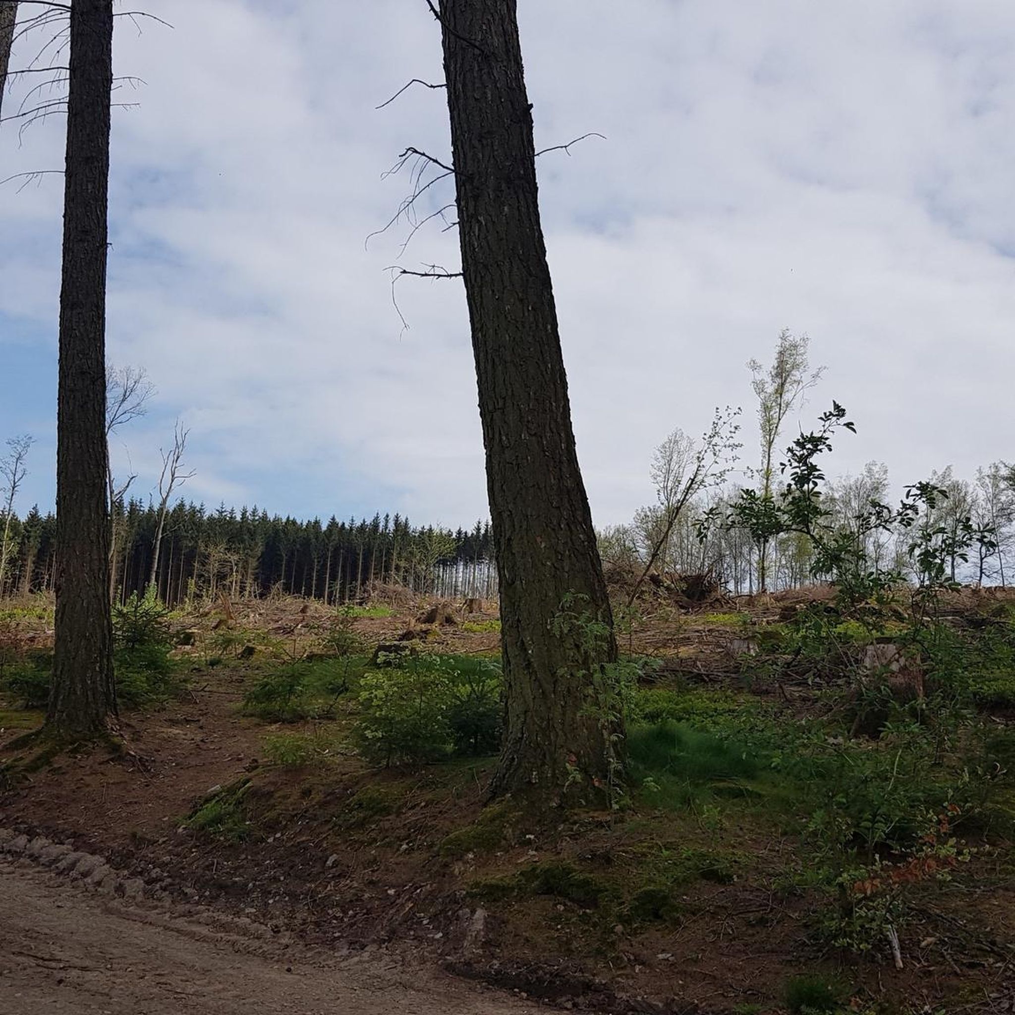
On this section, the cycle path is more open, offering superb views of the valley. You really get a sense of how green the surroundings are. It's a particularly pleasant part of this cycle route.
2
0
Frequently Asked Questions
What kind of terrain can I expect on road cycling routes around Türkheim?
Road cycling routes around Türkheim, located in the Vosges region of France, are characterized by rolling hills and significant mountain ascents. You'll find mostly paved surfaces, with routes often leading through scenic valleys and up to challenging mountain passes like Col du Wettstein and Firstplan Pass. This diverse terrain offers varied challenges, from extended climbs to exhilarating descents.
How many road cycling routes are available in the Türkheim area?
There are over 45 road cycling routes around Türkheim, catering to various skill levels. This includes 4 easy routes, 22 moderate routes, and 22 difficult routes, providing ample options for every cyclist.
Are there any easy or beginner-friendly road cycling routes near Türkheim?
Yes, Türkheim offers 4 easy road cycling routes suitable for beginners or those looking for a more relaxed ride. These routes typically feature less elevation gain and shorter distances, allowing you to enjoy the scenic Vosges landscape at a comfortable pace.
What are some of the more challenging road cycling routes around Türkheim?
For experienced cyclists seeking a challenge, Türkheim offers 22 difficult routes with substantial elevation gains. Notable options include Le Col du Wettstein — loop from Turckheim, which features over 1,180 meters of climbing, and Firstplan Pass – Bannstein Pass loop from Turckheim, with over 2,200 meters of ascent.
What is the typical length and duration of road cycling routes in Türkheim?
The routes vary significantly in length and duration. For example, a challenging route like Le Col du Wettstein — loop from Turckheim is about 56 km and takes around 3 hours. Longer, more demanding routes such as Firstplan Pass – Grand Ballon loop from Turckheim can be nearly 100 km and require over 5 hours to complete.
Are there any circular road cycling routes available from Türkheim?
Yes, many of the road cycling routes around Türkheim are designed as loops, allowing you to start and finish in the same location. Examples include Le Col du Wettstein — loop from Turckheim and Pinot Bend – Sondernach to Petit Ballon loop from Turckheim, which offer comprehensive tours of the region's highlights.
What can I see along the road cycling routes around Türkheim?
Beyond the stunning natural landscapes of the Vosges mountains, you can discover various historical and cultural sights. Routes often pass through charming villages and offer views of impressive castles. Consider exploring highlights like Kaysersberg, The Three Castles of Eguisheim, or Hohlandsbourg Castle, which are all nearby.
Are there any places to stop for refreshments or shelter along the routes?
Yes, the region offers various huts and refuges that can serve as stopping points. You might find places like Devin Pond Refuge or Chalet Erichson along some routes, providing opportunities for a break or a meal. Many villages also have cafes and pubs.
What is the best time of year for road cycling in Türkheim?
The best seasons for road cycling in Türkheim are typically spring and summer. During these months, temperatures are mild, and the landscape is in full bloom, offering ideal conditions for extended tours. While winter cycling is possible, some higher passes may be closed or require specialized gear due to snow and ice.
What do other road cyclists enjoy most about road cycling in Türkheim?
The road cycling experience in Türkheim is highly rated by the komoot community, with an average score of 4.6 stars from over 180 reviews. Cyclists often praise the challenging climbs, the panoramic views from mountain passes, and the well-maintained paved roads that wind through the picturesque Vosges mountains.
Are there any specific viewpoints or scenic spots along the road cycling routes?
Absolutely. The mountainous terrain of the Vosges provides numerous scenic viewpoints. Routes often lead to high passes and ridges, offering breathtaking panoramic views of the surrounding valleys and peaks. The Col de la Schlucht – Route des Crêtes loop from Ingersheim Cité Scolaire is particularly known for its stunning vistas along the famous Route des Crêtes.
Is Türkheim in France or Germany, as there seems to be conflicting information?
The road cycling routes detailed in this guide are specifically for Türkheim in the Alsace region of France. This area is known for its challenging mountain passes like Col du Wettstein and Firstplan Pass, set within the Vosges mountains.
Most popular routes around Türkheim
Most popular attractions around Türkheim

Get inspired with the komoot mobile app


Explore more
Browse the best Road cycling routes in other regions.
