The best mountain hikes around Urbach Bei Kaysersberg
4.6
(15)
61
hikers
10
hikes
Mountaineering routes around Urbach Bei Kaysersberg traverse a mountainous landscape characterized by diverse trails, significant elevation changes, and scenic natural features. The region features notable peaks such as Tétras Rock – Königsstuhl Rock (938 m), offering challenging ascents and expansive valley views. Dense forests and various mountain passes contribute to the varied terrain, providing a demanding environment for mountaineering.
Best mountaineering routes around Urbach Bei Kaysersberg
- The most popular mountaineering route is Taubenklangfelsen Viewpoint – Lac du Forlet loop from…
Last updated: November 4, 2026
5.0
(2)
20
hikers
20.1km
07:05
770m
770m
Hard mountaineering route. Very good fitness required. Sure-footedness, sturdy shoes and alpine experience required.
4.8
(5)
17
hikers
5.07km
01:59
210m
210m
Hard mountaineering route. Sure-footedness, sturdy shoes and alpine experience required.

4.8
(5)
16
hikers
4.71km
01:56
220m
220m
Hard mountaineering route. Sure-footedness, sturdy shoes and alpine experience required.
4.0
(1)
4
hikers
10.7km
03:55
400m
400m
Hard mountaineering route. Good fitness required. Sure-footedness, sturdy shoes and alpine experience required.
5.0
(1)
4
hikers
4.63km
01:36
250m
240m
Moderate mountaineering route. Mostly walkable paths. Sure-footedness required.
Get access to more routes and recommendations from other explorers.
Already have an account?
Our route recommendations are based on thousands of hikes, rides, and runs completed by other people on komoot.
Start today with a free account
Your next adventure awaits.
Popular around Urbach Bei Kaysersberg
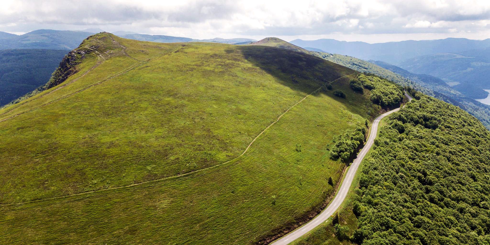
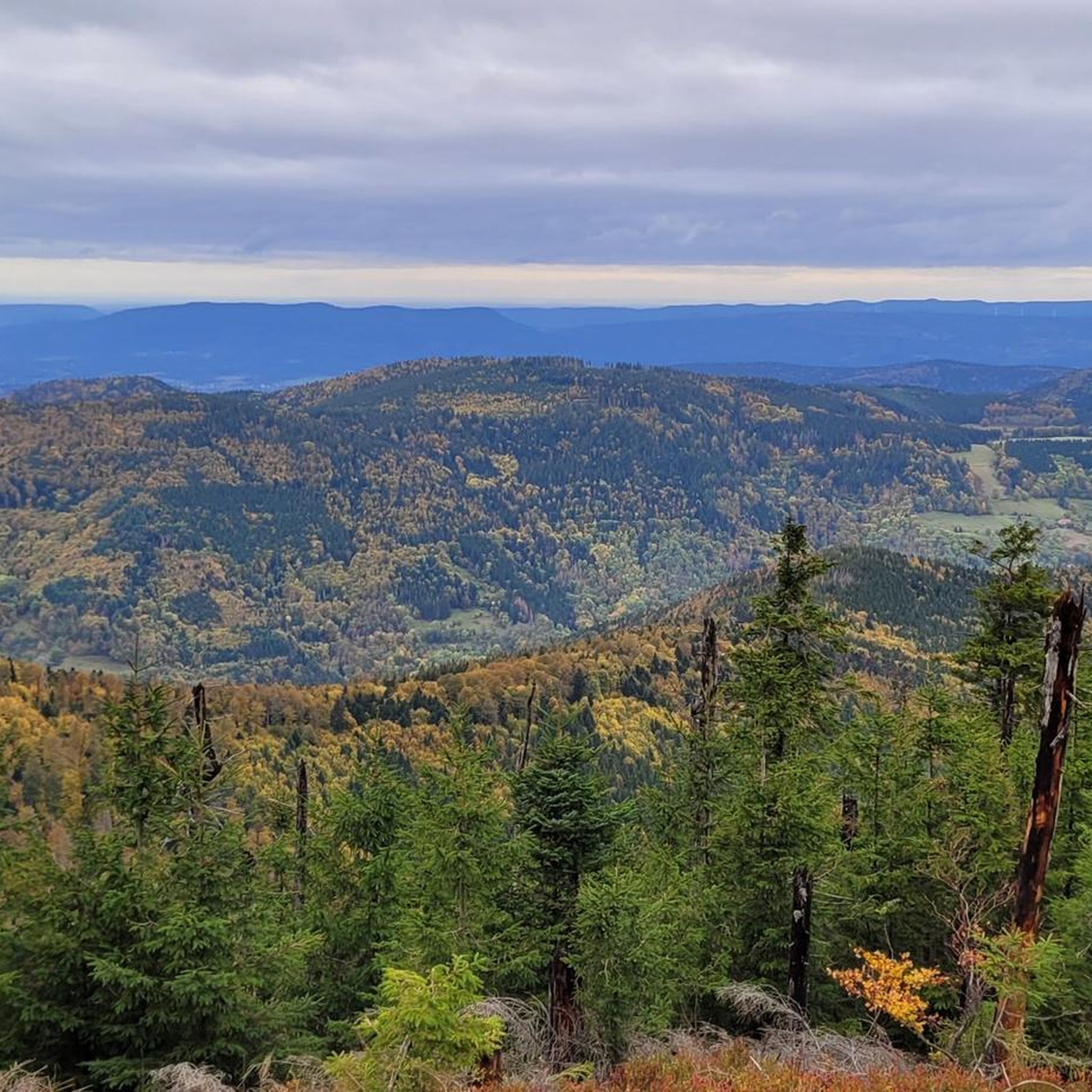
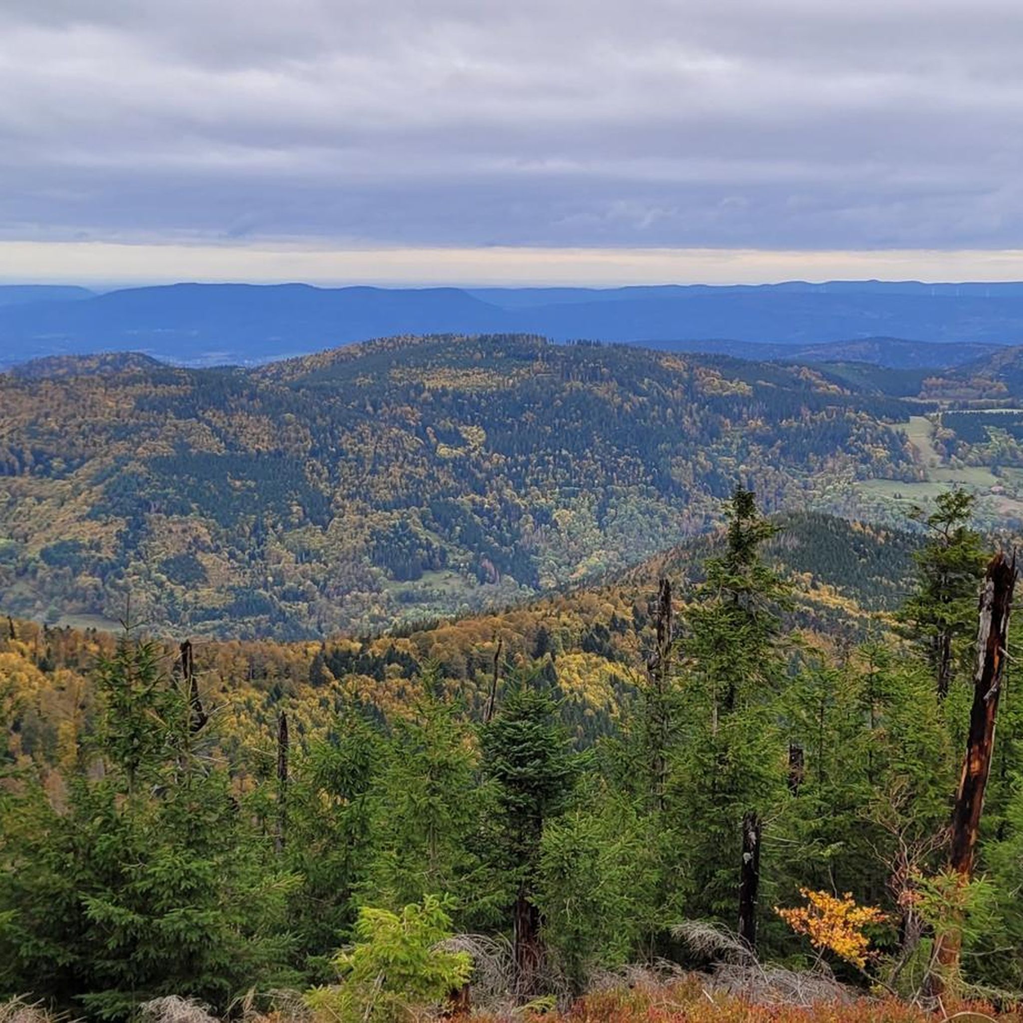
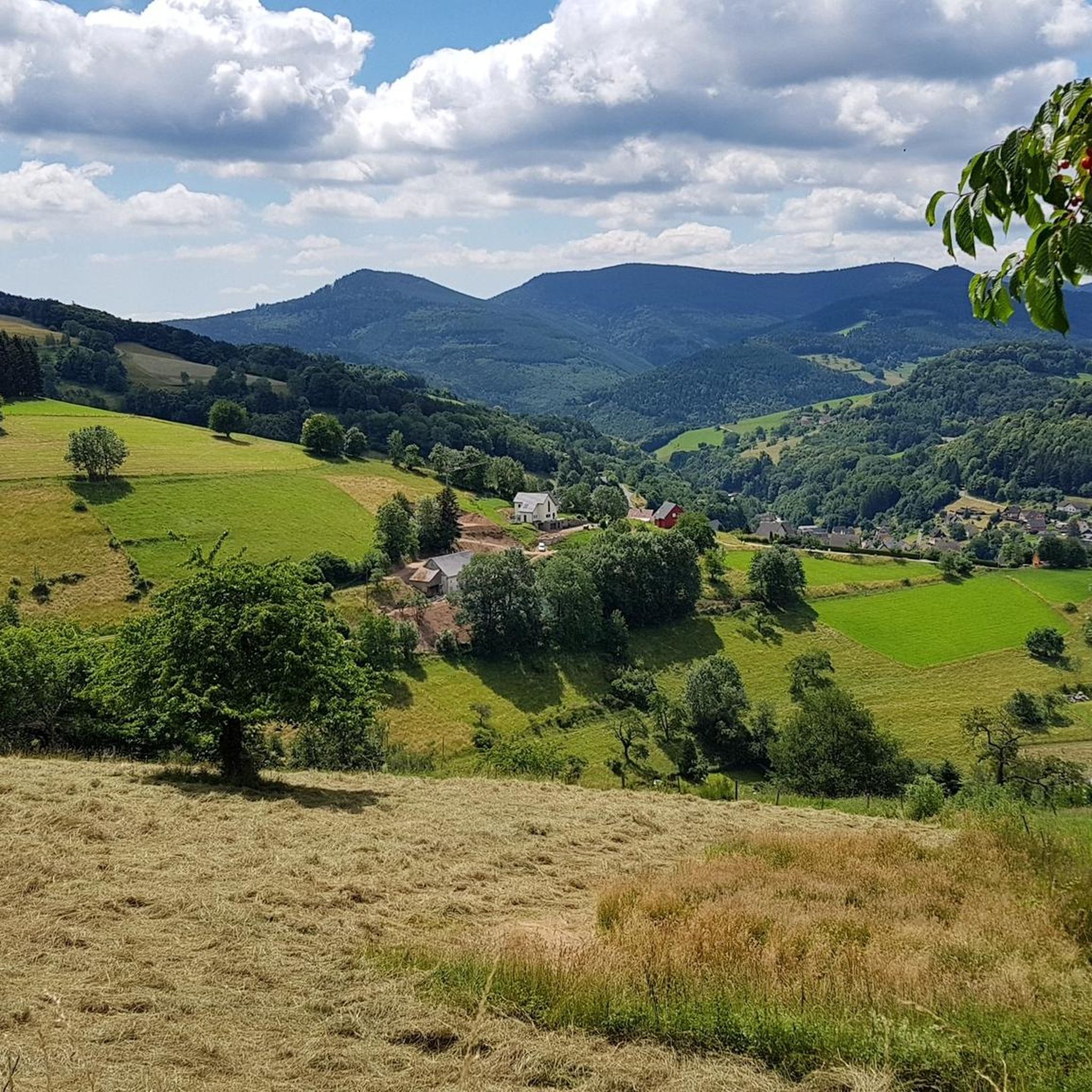

Other adventures around Urbach Bei Kaysersberg

Tips from the Community

The lake is located at the "Le Forlet" site in the municipality of Soultzeren and is embedded in a wide glacial cirque surrounded by steep slopes that rise up to 1,306 meters (Gazon du Faing, Gazon de Faîte, etc.). The current name of the lake is based on a confusion. Originally, it was called "Lac du Foehrlé," which means "surrounded by small pines" – derived from "Föhre" (the tree species). Over time, this name changed to "Forlen" and finally to "Forellen" (trout). This is the origin of the current French name; on the IGN map, it is listed as "Lac des Truites ou du Forlet" (Trout Lake or Forlet Lake). The abbots of Murbach used the small lake as a trout pond. Carp were kept in a slightly higher pond; this has since silted up and turned into a moor. Between 1849 and 1853, work was carried out to dredge and dam the lake to ensure that the Fecht river would have sufficient water flow even in summer.
0
0


Saunt Ulric Castle is the largest of the three ruins. It is currently undergoing partial renovation. A small section is cordoned off, and caution is advised in other areas. However, the keep is accessible.
6
0
From various viewpoints in Ribeauvillé you can sometimes see all three castles together.
9
0

View over a garden fence while climbing the Hail Path to Château Saint-Ulrich.
5
0
Steep, rocky path that leads through small rock formations and up to the Château Saint-Ulrich.
7
0

Frequently Asked Questions
What kind of terrain can I expect on mountaineering routes around Urbach Bei Kaysersberg?
Mountaineering routes in this region traverse a mountainous landscape within the Vosges massif, characterized by dense forests, significant elevation changes, and diverse trails. You'll encounter notable rock formations like the Königsstuhlfelsen and Tétras Rock, offering both scenic beauty and challenging sections.
Are there any beginner-friendly mountaineering routes in Urbach Bei Kaysersberg?
The routes around Urbach Bei Kaysersberg are predominantly difficult, requiring good fitness and sure-footedness. However, there are a couple of moderate options. For instance, the Girsberg Castle – Blick auf Ribeauvillé loop from Ribeauvillé is a moderate 4.7 km route with an elevation gain of about 245 meters, offering a less demanding experience.
What are some notable natural features or viewpoints along the mountaineering routes?
You'll find several impressive natural features and viewpoints. The Taubenklangfelsen Viewpoint – Lac du Forlet loop from Lac Blanc offers panoramic views from Taubenklangfelsen. The region also features the majestic Lac Blanc, known for its white crystalline sand, and significant rock formations like Königsstuhlfelsen and Tétras Rock.
Are there any specific climbing spots in the Urbach Bei Kaysersberg area?
Yes, the region offers dedicated climbing spots. The Lac Blanc natural climbing site, overlooking Lac Blanc, features approximately forty equipped routes ranging from 5b to 7b, primarily for experienced climbers. Another option is the Steinbach climbing spot, which has a 35-meter-high cliff with 20 equipped routes. For more details on climbing at Steinbach, you can visit visit.alsace.
What is the best time of year for mountaineering in Urbach Bei Kaysersberg?
The Vosges mountains offer diverse conditions throughout the year. While specific recommendations depend on the route's difficulty, spring to autumn generally provides the most favorable weather for mountaineering. Winter mountaineering is possible but requires appropriate gear and experience due to snow and ice conditions.
Are there any family-friendly options for outdoor activities near Urbach Bei Kaysersberg?
While many mountaineering routes are difficult, the broader region offers family-friendly activities. The nearby Lac Blanc resort provides an adventure park, paintball, and rail sledding. For less strenuous walks, the surrounding Alsatian vineyards offer picturesque and gentler paths.
Can I bring my dog on the mountaineering trails?
Many trails in the Vosges mountains are dog-friendly, but it's always advisable to check specific route regulations. Given the challenging terrain and potential for wildlife encounters, ensure your dog is well-behaved, on a leash, and capable of handling the elevation changes and distances. Always carry enough water for both yourself and your pet.
What do other mountaineers say about the routes in Urbach Bei Kaysersberg?
The mountaineering routes in Urbach Bei Kaysersberg are highly rated by the komoot community, with an average score of 4.6 stars. Mountaineers often praise the challenging terrain, dense forests, and the rewarding views, particularly those overlooking Lac Blanc and the surrounding valleys.
Are there any huts or shelters available along the routes?
Yes, there are several huts and shelters in the vicinity that can be useful during longer mountaineering trips. Notable options include the Kutzig Buech Shelter and the Cabane de la Pierre des Trois Bans. These can provide a place for rest or refuge.
What are some of the longer mountaineering routes available?
For a longer and more challenging experience, consider the Taubenklangfelsen Viewpoint – Lac du Forlet loop from Lac Blanc. This difficult route spans 21.3 km (13.2 miles) and typically takes around 7 hours and 33 minutes to complete, featuring significant elevation changes and panoramic views.
Are there any circular mountaineering routes in the area?
Yes, many mountaineering routes in Urbach Bei Kaysersberg are designed as loops. Examples include the Rochers de Hans Ascent – View of Lac Blanc loop from Lac Blanc, which is 13.1 km, and the View of Lac Blanc – Lac Blanc loop from Lac Blanc, covering 10.6 km.
What kind of wildlife might I encounter on the trails?
The Vosges mountains are home to diverse wildlife. You might spot chamois, especially around areas like Lac Blanc. The dense forests also host various bird species and other forest animals. Always observe wildlife from a distance and avoid disturbing their natural habitat.
Most popular routes around Urbach Bei Kaysersberg
Most popular attractions around Urbach Bei Kaysersberg

Get inspired with the komoot mobile app


Explore more
Browse the best Mountain Hikes & Routes in other regions.
