The best road cycling routes around Neuweiler
4.4
(2506)
42,691
riders
544
rides
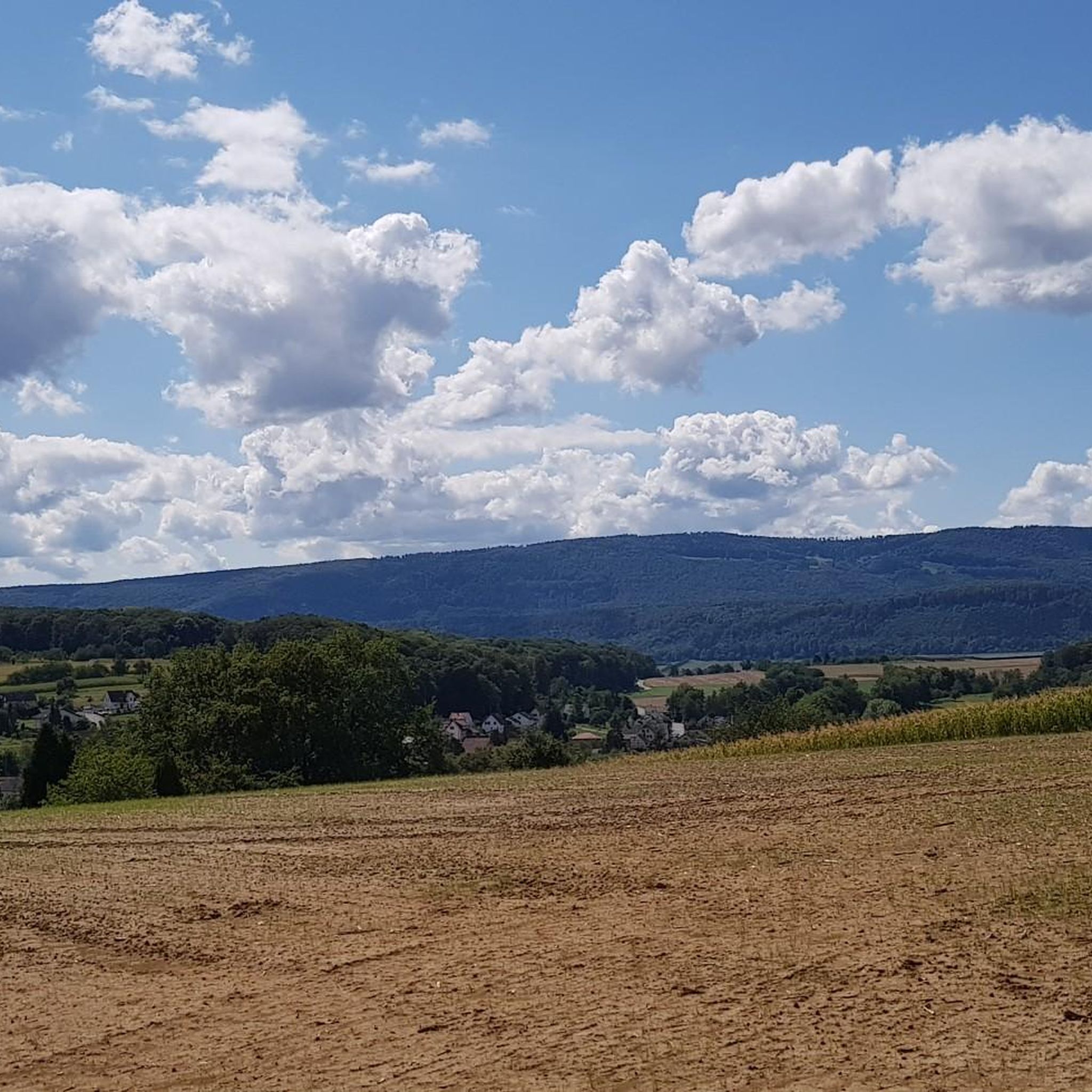
Road cycling routes around Neuweiler traverse a landscape characterized by rolling hills and open agricultural areas, with occasional forested sections. The region features moderate elevation changes, providing varied terrain for road cyclists. Routes often include views over surrounding villages and countryside, with some paths following river valleys.
Best road cycling routes around Neuweiler
- The most popular road cycling route is Vue sur Wolschwiller – Vue sur Bettlach loop from Oberwil BL, a 38.9 miles (62.7 km) trail that takes…
Last updated: September 27, 2026
4.9
(8)
172
riders
62.7km
02:38
480m
480m
Moderate road ride. Good fitness required. Mostly well-paved surfaces and easy to ride.
3.0
(2)
77
riders
Moderate road ride. Good fitness required. Mostly well-paved surfaces and easy to ride.

4.5
(2)
67
riders
Moderate road ride. Good fitness required. Mostly well-paved surfaces and easy to ride.
20
riders
67.0km
02:50
440m
440m
Moderate road ride. Good fitness required. Mostly well-paved surfaces and easy to ride.
5.0
(1)
20
riders
26.6km
01:19
280m
280m
Easy road ride. Great for any fitness level. Mostly well-paved surfaces and easy to ride.
Get access to more routes and recommendations from other explorers.
Already have an account?
Our route recommendations are based on thousands of hikes, rides, and runs completed by other people on komoot.
Start today with a free account
Your next adventure awaits.
Tips from the Community

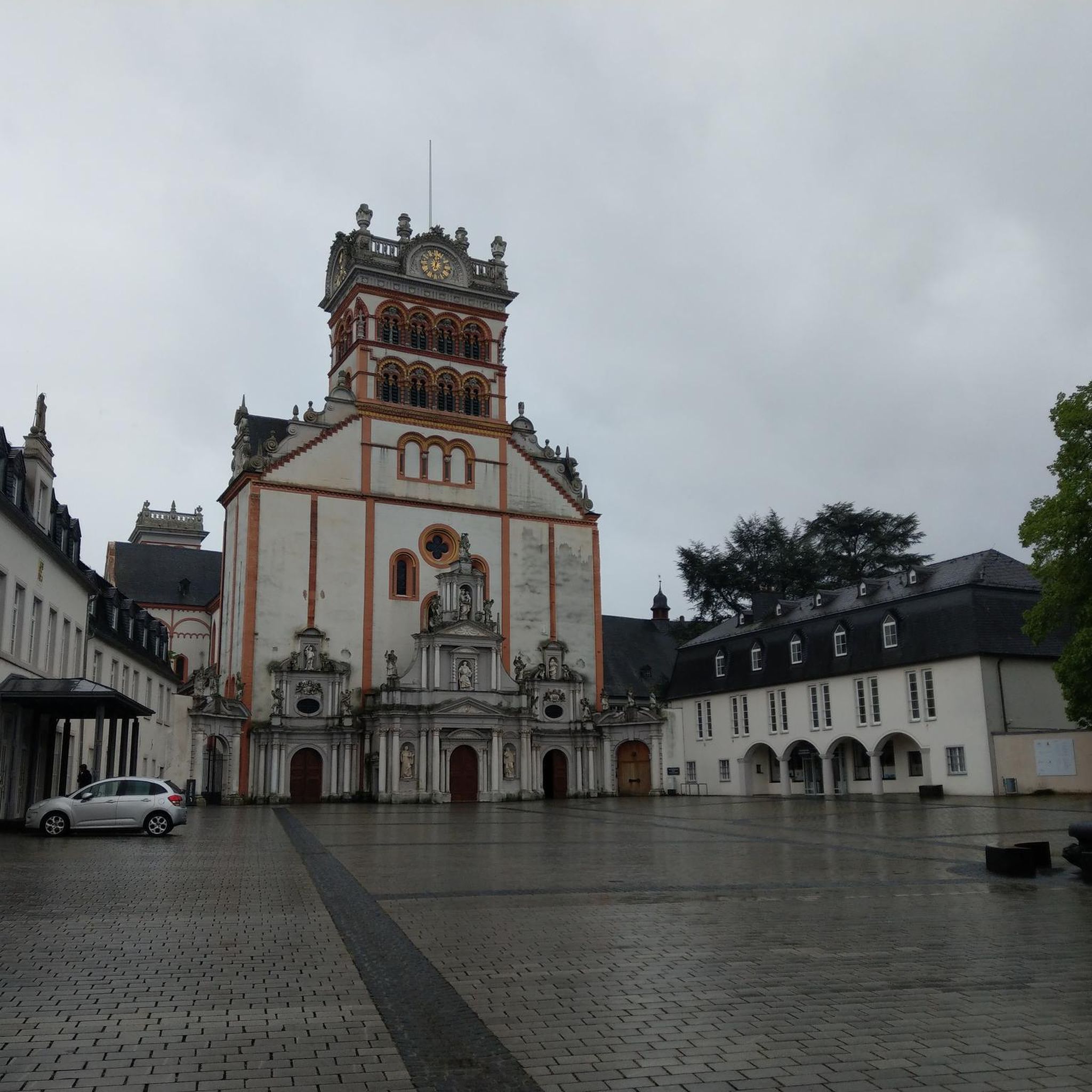
Altkirch Altkirch is the historic capital of the Sundgau and lies on a striking rocky spur above the valley of the Ill. The town's origins date back to the Middle Ages. The Counts of Ferrette built Altkirch into a fortified town; from 1215 onwards, it was protected by town walls and towers. The characteristic layout, narrow streets, and remnants of the fortifications have been preserved from this medieval town plan to this day. Particularly worth seeing is the Vieille Porte, a former town gate from around 1245. For centuries, Altkirch was an important administrative and commercial center of the Sundgau. After the destructions of the Thirty Years' War, numerous buildings were newly erected. The representative town hall dates from the 18th century, built in 1778 according to plans by the Swabian architect Jean Nissler. In the 19th century, the town continued to develop: alongside its traditional importance as a market and trading place, industrial enterprises emerged, including the well-known Gilardoni brickworks. The 20th century also left its mark. After the First World War, Altkirch became part of the re-Frenchified Alsace. The memory of this period is evident, among other things, at the Vieille Porte, where a Borne Vauthier commemorates the former front line of 1918. The original Altkirch war memorial from 1927 was destroyed during the German occupation in the Second World War; preserved parts were later integrated into a new memorial. Today, Altkirch, with around 6,000 inhabitants, is an important center of the Sundgau. The historic upper town with its old houses, remnants of fortifications, the town hall, and the Sundgau Museum continues to shape the townscape. Source: Ville d’Altkirch – History of the town
0
0

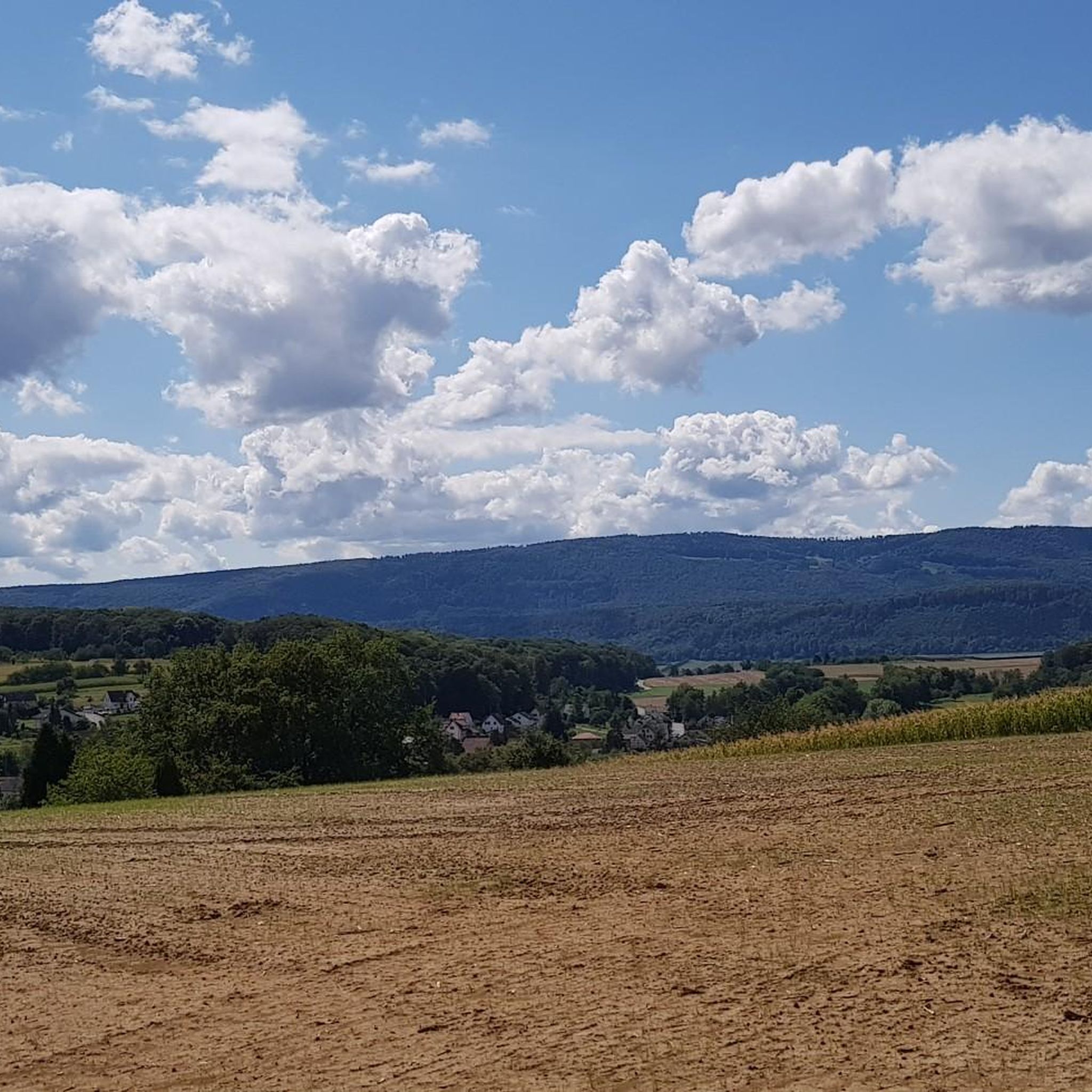
Magnificent place with a great view of the surrounding hills!
0
0

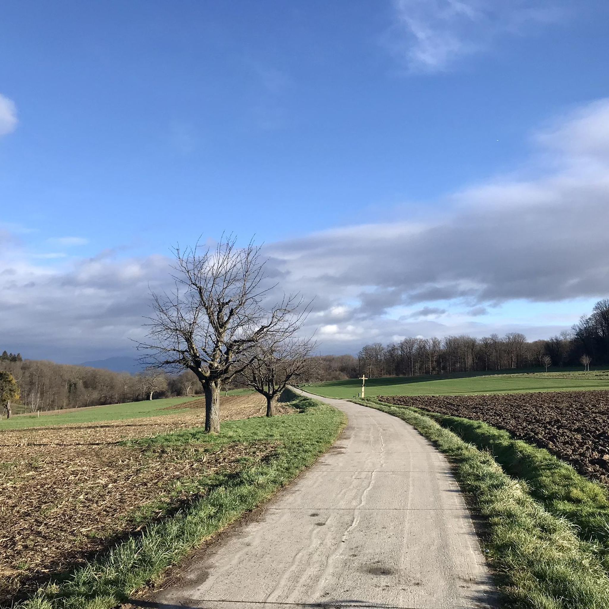
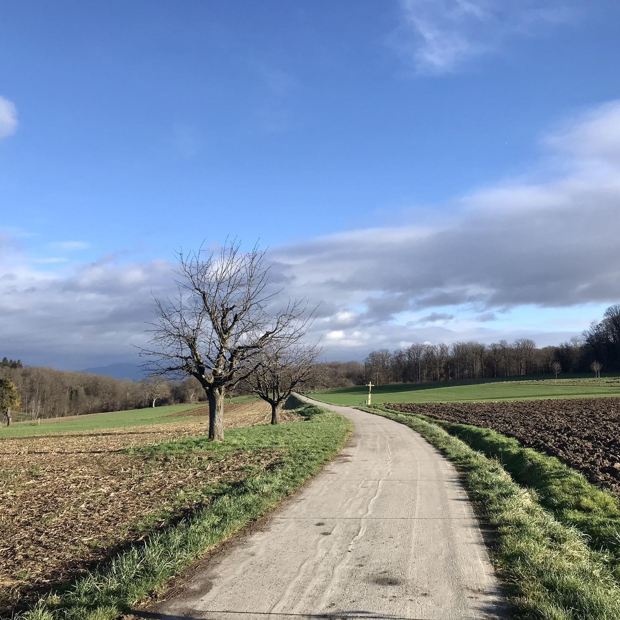
I can only agree with Mattia: it's a short stretch of road through fields, but otherwise completely unspectacular, not even worth a tip...
0
0

Biederthal is often reached by car from Basel / the Birstal valley, but this point here is nothing special in itself.
0
0

There are just so many magnificent well-kept Alsatian half-timbered houses along this route, take your time and enjoy the beauty of them. There are also several cafés and restaurants along the way
0
0

A sign has now been posted: "No drinking water."
0
0

A new relatively short stretch of cycle path from Flüh to Leymen. It runs along the tram line. Together with the cycle path from Biel-Benken to Flüh there is a slightly higher alternative, but without traffic instead of the main road down by the riding school. And the view is more beautiful here anyway...
7
1
The current parish church of Oltingue was built between 1827 and 1831 in late classicist style. Striking features include the triangular pediment above the round-arched portal and the Callinet organ from 1843, which is still in use. Together with the presbytery and the former school, the church forms a well-preserved village ensemble from the Louis-Philippe period. The church replaced an older mother church outside the village.
11
0
Frequently Asked Questions
How many road cycling routes are available around Neuweiler?
There are over 550 road cycling routes around Neuweiler, offering a wide variety of options for different skill levels and preferences. These routes are highly rated by the komoot community, with an average score of 4.4 stars from nearly 2,000 reviews.
Are there easy road cycling routes suitable for beginners in Neuweiler?
Yes, Neuweiler offers over 100 easy road cycling routes. A good option for beginners is the Cycle Path in Therwil – Open Field in Solothurn loop from Neuwiller, which is 26.6 km long with moderate elevation changes, providing a pleasant ride through the countryside.
What kind of terrain can I expect on road cycling routes in Neuweiler?
Road cycling routes around Neuweiler are characterized by rolling hills and open agricultural areas, interspersed with occasional forested sections. You'll find moderate elevation changes, providing varied terrain, and many routes offer scenic views over surrounding villages and follow river valleys.
Are there challenging road cycling routes for experienced riders?
Yes, for experienced riders seeking a challenge, there are over 180 difficult road cycling routes around Neuweiler. These routes typically feature more significant elevation gains and longer distances, traversing the region's rolling hills.
What are some scenic viewpoints or landmarks I can see along the road cycling routes?
Many routes offer scenic views over the landscape. You can explore natural monuments like the Ermitage Arlesheim Landscape Garden or the Chaltbrunnental Nature Reserve. Other notable attractions include the Rhine Promenade in Basel or the Lange Erlen Park and Wiese River.
Are there any long-distance road cycling trails around Neuweiler?
Yes, Neuweiler offers several long-distance road cycling routes. For example, the Hégenheim - Hagenthal cycle path – Drinking Water Fountain loop from Hagenthal-le-Bas is a moderate 66.1 km route, offering a substantial ride through varied landscapes.
What is the best time of year for road biking in Neuweiler?
The spring and autumn months generally offer the most pleasant conditions for road biking in Neuweiler, with milder temperatures and beautiful scenery. Summer can also be enjoyable, though it's advisable to start earlier in the day to avoid the midday heat.
Are there circular road cycling routes available in Neuweiler?
Many of the road cycling routes around Neuweiler are designed as loops, allowing you to start and finish in the same location. For instance, the Hégenheim - Hagenthal cycle path – Drinking Water Fountain loop from Hagenthal-le-Bas is a popular circular option.
What do other road cyclists enjoy most about the routes in Neuweiler?
The komoot community highly rates the road cycling experience in Neuweiler, with an average score of 4.4 stars. Reviewers often praise the region's diverse landscape, featuring a mix of rolling hills, open fields, and river valleys, as well as the panoramic views encountered along many routes.
Are there any hidden gem road cycling trails in the Neuweiler area?
While specific 'hidden gems' are often discovered through local exploration, the region's extensive network of over 550 routes means there are many less-trafficked paths to discover. Exploring routes that venture slightly off the main villages can often lead to quieter, equally scenic rides.
Can I find routes that pass by historical sites or cultural landmarks?
Yes, some routes may pass near historical or cultural points of interest. For example, you might encounter the Wappenfelsen Memorial or the Basel Market Square if your route extends towards Basel.
Most popular attractions around Neuweiler

Get inspired with the komoot mobile app


Explore more
Browse the best Road cycling routes in other regions.
