The best walks and hikes around Liebensweiler
4.5
(1585)
8,725
hikers
633
hikes
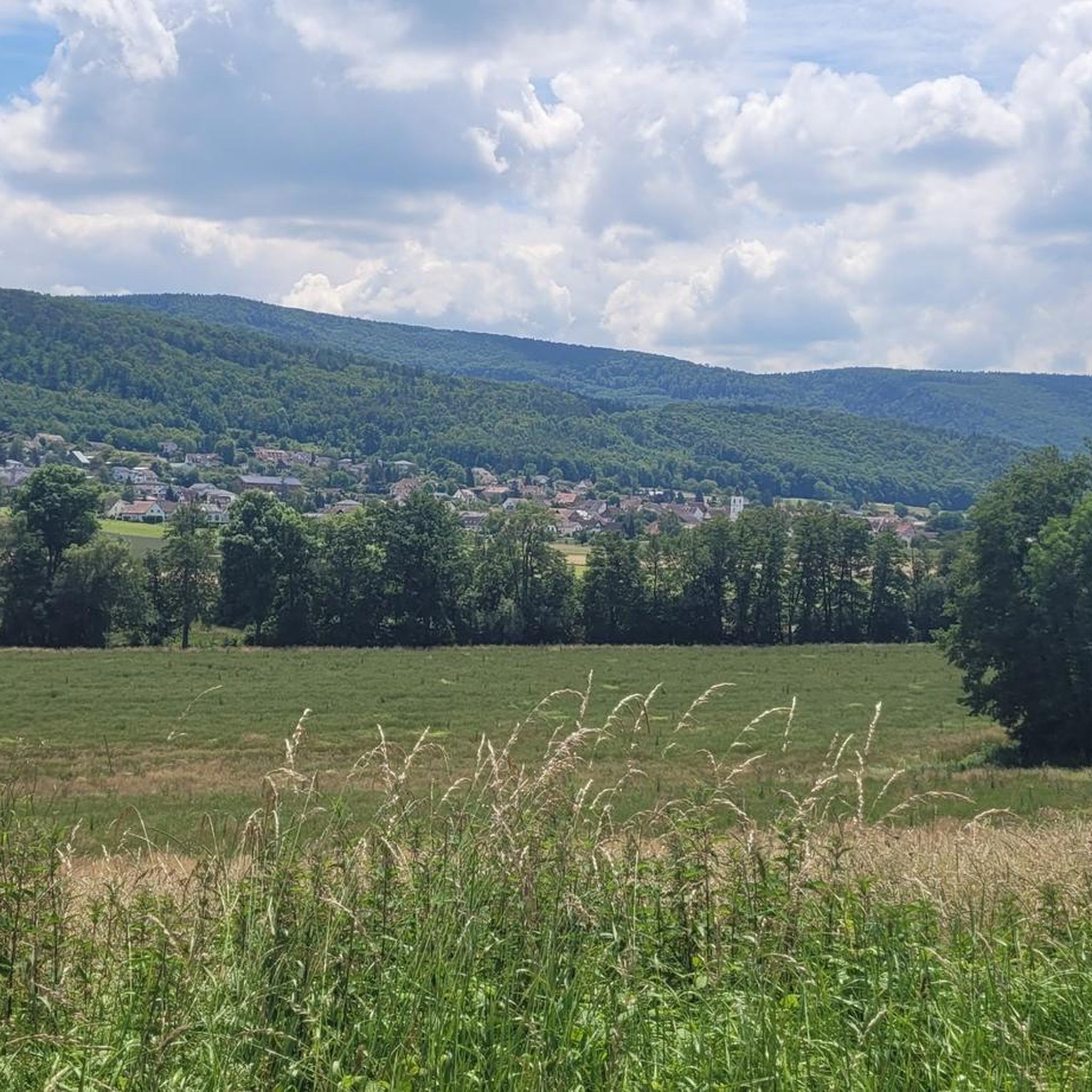
Hiking around Liebensweiler offers a variety of trails suitable for exploring the local landscape. The region features suitable terrain for outdoor activities, with routes that include both gentle paths and areas with moderate elevation changes. Hikers can expect to encounter rural settings, historical landmarks, and natural features along the trails. The network of routes provides opportunities to experience the area's diverse environment.
Best hiking trails around Liebensweiler
- The most popular hiking route is Saint-Brice Inn – Saint-Brice Chapel loop from Bettlach, a 4.8 miles (7.7 km) trail that takes 2 hours 2 minutes to complete, passing through rural landscapes.
- Another top favourite among local hikers is Saint-Brice Chapel – Saint-Brice Inn loop from Bettlach, an easy 2.2 miles (3.5 km) path. This route offers accessible terrain connecting local points of interest.
- Local hikers also love the Landskron Castle – Landskron Ruins loop from Biederthal, a 4.7 miles (7.5 km) trail leading through historical ruins and offering elevated views, often completed in about 2 hours 18 minutes.
- Hiking around Liebensweiler is defined by rural landscapes, historical ruins, and varied elevation. The network offers options for different ability levels, from easy walks to moderate hikes.
- The routes in Liebensweiler are highly rated by the komoot community with an average score of 4.6 stars from over 1300 reviews. More than 8200 hikers have used komoot to explore Liebensweiler's varied terrain.
Last updated: October 1, 2026
3.5
(8)
16
hikers
7.81km
02:04
80m
80m
Moderate hike. Good fitness required. Easily-accessible paths. Suitable for all skill levels.
5.0
(1)
10
hikers
7.55km
02:18
260m
260m
Moderate hike. Good fitness required. Easily-accessible paths. Suitable for all skill levels.

4.5
(2)
11
hikers
7.30km
01:58
90m
90m
Easy hike. Great for any fitness level. Easily-accessible paths. Suitable for all skill levels.
5.0
(2)
8
hikers
8.92km
02:27
150m
150m
Moderate hike. Good fitness required. Easily-accessible paths. Suitable for all skill levels.
3
hikers
11.3km
03:18
290m
290m
Moderate hike. Good fitness required. Easily-accessible paths. Suitable for all skill levels.
Get access to more routes and recommendations from other explorers.
Already have an account?
Our route recommendations are based on thousands of hikes, rides, and runs completed by other people on komoot.
Start today with a free account
Your next adventure awaits.
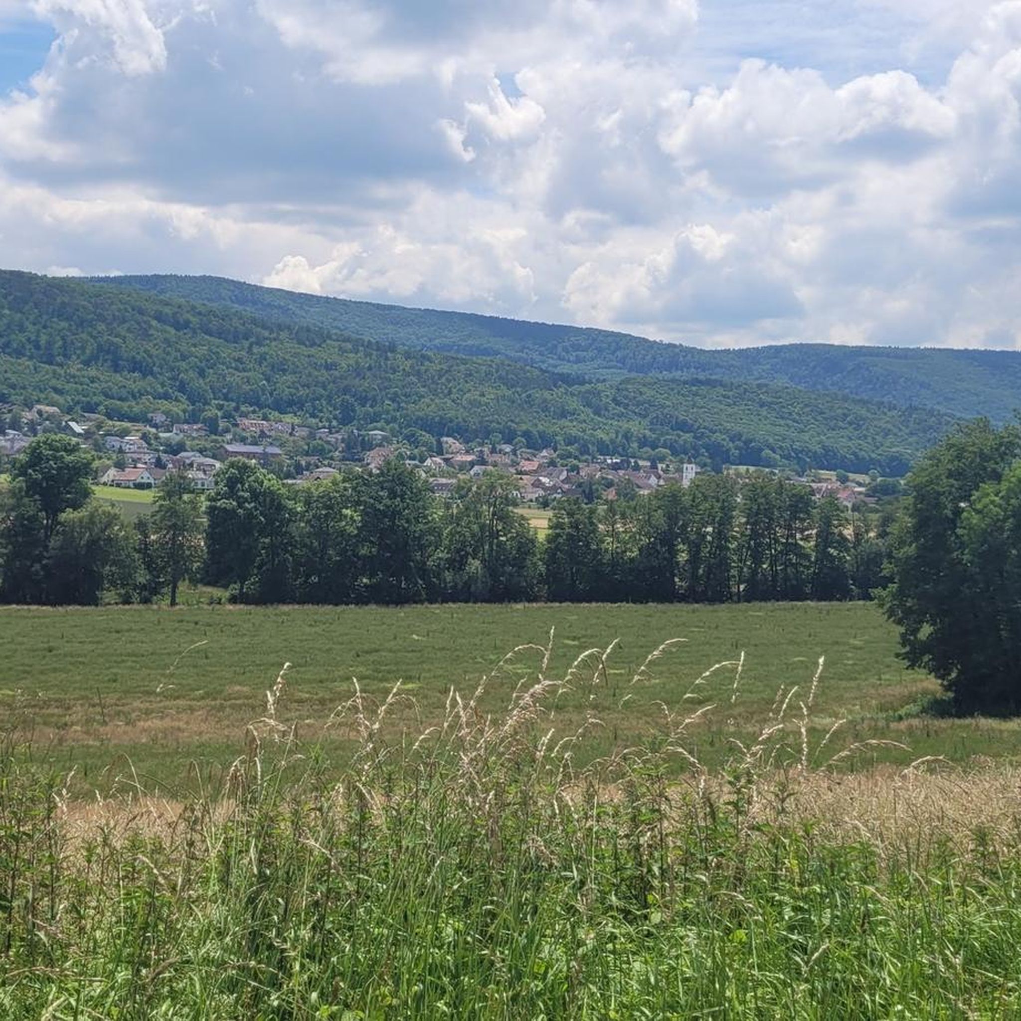
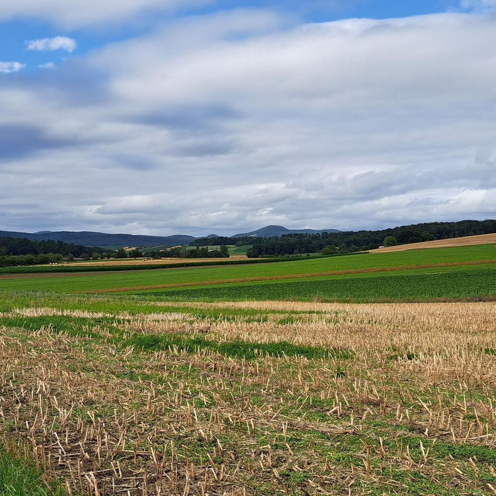
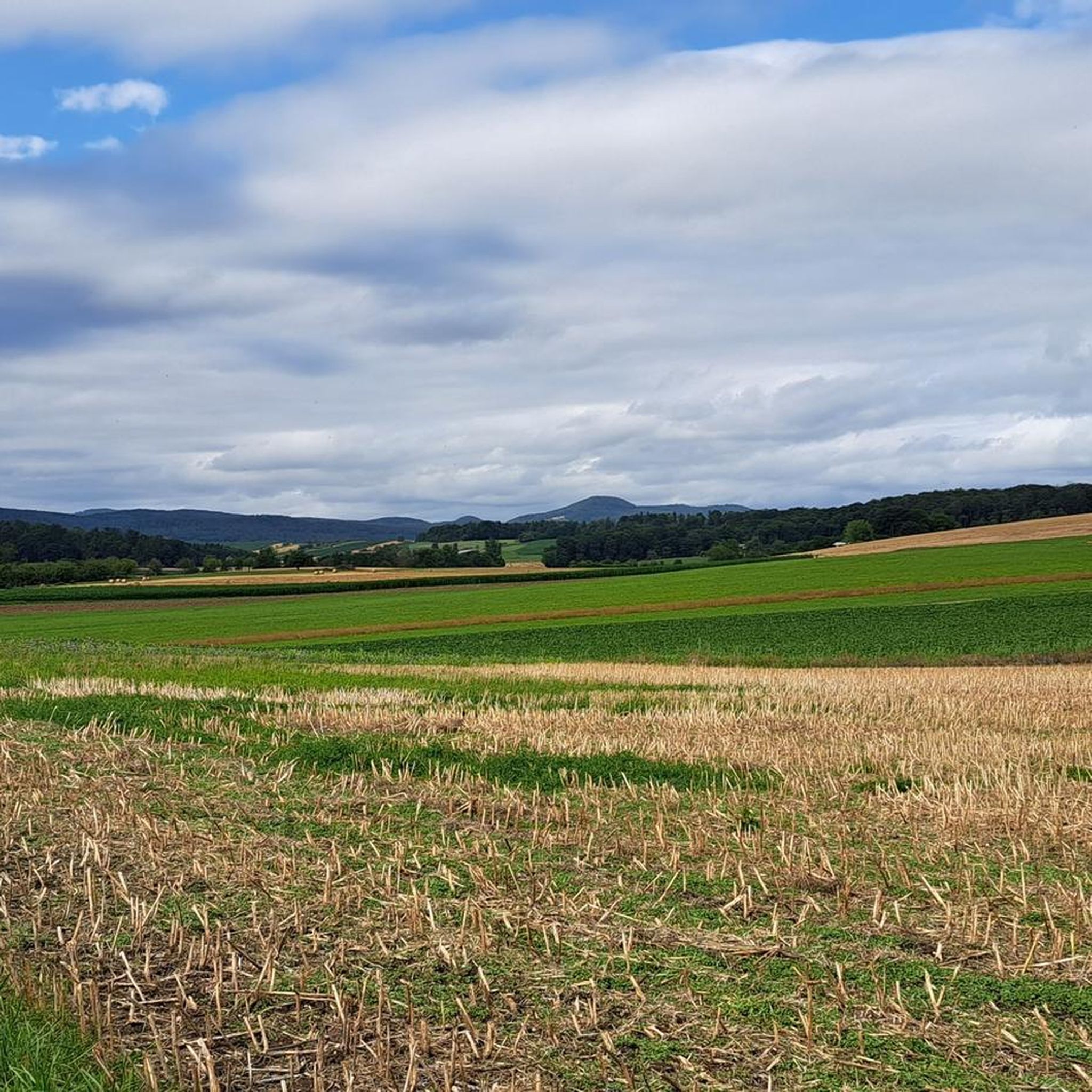
Tips from the Community

The still well-preserved Landskron ruin takes you on a journey into the past and offers impressive remains from the age of knights. Besides the great castle complex, a visit is also worthwhile for the wonderful view.
2
0

climbed up all the way to Ramel ridge
0
0


The Saint-Brice Chapel is located between Schwaben and Hausgauen in an idyllic and green setting and currently dates back to 1695.
0
0

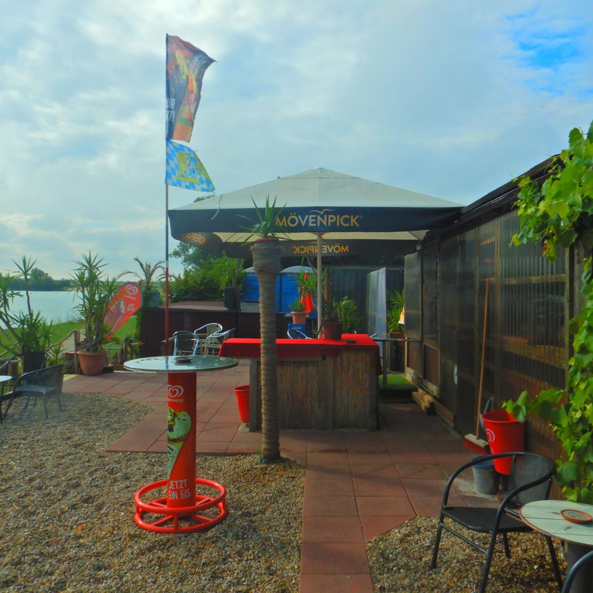
Great place to eat good Munster cheese and drink a glass of Pinot Noir. Very friendly.
0
0
Biederthal Castle is located above the village of Burg in Leimental. It is privately owned and not open to the public, but it is still an impressive sight from the outside. The large castle complex dominates the village.
0
0

View of Burg castle from the outskirts of the picturesue village. The castle was built in 1250 then rebuilt after 1600. The village is in the middle of the beautiful Jura, just next to the border with Alsace
0
0

Burg im Leimental is a municipality in the Leimental in the Laufen district of the canton of Basel-Landschaft in Switzerland. https://de.m.wikipedia.org/wiki/Burg_im_Leimental
0
0
Frequently Asked Questions
How many hiking trails are available in Liebensweiler?
Liebensweiler offers a wide selection of hiking opportunities, with over 640 routes available for exploration. These range from easy walks to more challenging trails, catering to various preferences and fitness levels.
What kind of terrain can I expect on the hiking trails around Liebensweiler?
The hiking trails around Liebensweiler feature diverse terrain, including rural landscapes, historical ruins, and varied elevation. You'll find both gentle paths and areas with moderate ascents and descents, providing a varied experience for hikers.
Are there family-friendly hiking options in Liebensweiler?
Yes, Liebensweiler has numerous easy routes suitable for families. For instance, the Saint-Brice Chapel – Saint-Brice Inn loop from Bettlach is an easy 2.2-mile (3.5 km) path that connects local points of interest on accessible terrain, making it a good choice for a family outing.
Can I find circular hiking routes in Liebensweiler?
Many of the trails in Liebensweiler are designed as circular routes, allowing you to start and end at the same point. Examples include the Saint-Brice Inn – Saint-Brice Chapel loop from Bettlach and the Landskron Castle – Landskron Ruins loop from Biederthal, which offer convenient exploration of the area.
What historical landmarks or points of interest can I see along the hiking trails?
Liebensweiler's trails often lead past interesting historical sites. You can explore the Landskron Castle and its ruins, or visit the Saint-Brice Chapel. The Landskron Castle – Landskron Ruins loop from Biederthal specifically takes you through these historical areas.
Are there options for different difficulty levels for hiking in Liebensweiler?
Absolutely. Liebensweiler offers a range of difficulties. You'll find over 300 easy routes for relaxed walks, nearly 300 moderate trails for those seeking a bit more challenge, and around 35 difficult routes for experienced hikers looking for a strenuous adventure.
What do other hikers enjoy most about the trails in Liebensweiler?
The trails in Liebensweiler are highly regarded by the komoot community, with an average rating of 4.6 stars from over 1300 reviews. Hikers often praise the varied terrain, the opportunity to explore historical ruins, and the peaceful rural landscapes.
Are there any trails that offer elevated views or scenic viewpoints?
Yes, several routes provide elevated views. The Landskron Castle – Landskron Ruins loop from Biederthal is known for offering scenic vistas. Additionally, the Big Bench at Blatten Pass is a notable viewpoint in the area.
Is there public transport access to the hiking trails in Liebensweiler?
While specific public transport details for each trailhead vary, Liebensweiler is generally accessible. It's advisable to check local bus schedules or regional transport options to plan your journey to the starting points of your chosen hikes.
Where can I find parking for hiking trails in Liebensweiler?
Parking availability can differ by trailhead. Many popular starting points, especially those near villages like Bettlach or Biederthal, often have designated parking areas. It's recommended to check the specific route details on komoot for parking information related to your chosen hike.
What is the best time of year to go hiking in Liebensweiler?
Liebensweiler offers hiking opportunities throughout much of the year. Spring and autumn provide pleasant temperatures and beautiful scenery, while summer is ideal for longer days. Winter hiking is also possible, though conditions may vary, and some trails might be more challenging.
Are there any challenging hikes in the Liebensweiler area?
For those seeking a challenge, Liebensweiler does offer a selection of more difficult routes. There are approximately 35 trails categorized as 'difficult' that feature significant elevation changes and longer distances, providing a demanding experience for seasoned hikers.
Most popular routes around Liebensweiler
Most popular attractions around Liebensweiler

Get inspired with the komoot mobile app


Explore more
Browse the best Hikes in other regions.
