The best walks and hikes around Ottendorf
4.6
(851)
3,895
hikers
237
hikes
Hiking around Ottendorf offers a diverse landscape characterized by rolling hills, dense forests, and open meadows, providing varied terrain for outdoor activities. The region features paths along rivers and streams, as well as routes that traverse agricultural fields and small villages. Hikers can explore areas with moderate elevation changes and discover natural features such as lakes and historical landmarks.
Best hiking trails around Ottendorf
- The most popular hiking route is Oberlarg and Morimont Castle, a 5.4 miles (8.6 km)…
Last updated: September 26, 2026
4.5
(33)
122
hikers
8.63km
02:32
240m
240m
Moderate hike. Good fitness required. Mostly accessible paths. Sure-footedness required.
4.8
(32)
145
hikers
Moderate hike. Great for any fitness level. Mostly accessible paths. Sure-footedness required.

4.7
(17)
29
hikers
12.5km
03:39
340m
340m
Moderate hike. Good fitness required. Easily-accessible paths. Suitable for all skill levels.
3.0
(2)
11
hikers
Moderate hike. Good fitness required. Easily-accessible paths. Suitable for all skill levels.
4.7
(3)
31
hikers
2.34km
00:36
10m
10m
Easy hike. Great for any fitness level. Easily-accessible paths. Suitable for all skill levels.
Get access to more routes and recommendations from other explorers.
Already have an account?
Our route recommendations are based on thousands of hikes, rides, and runs completed by other people on komoot.
Start today with a free account
Your next adventure awaits.

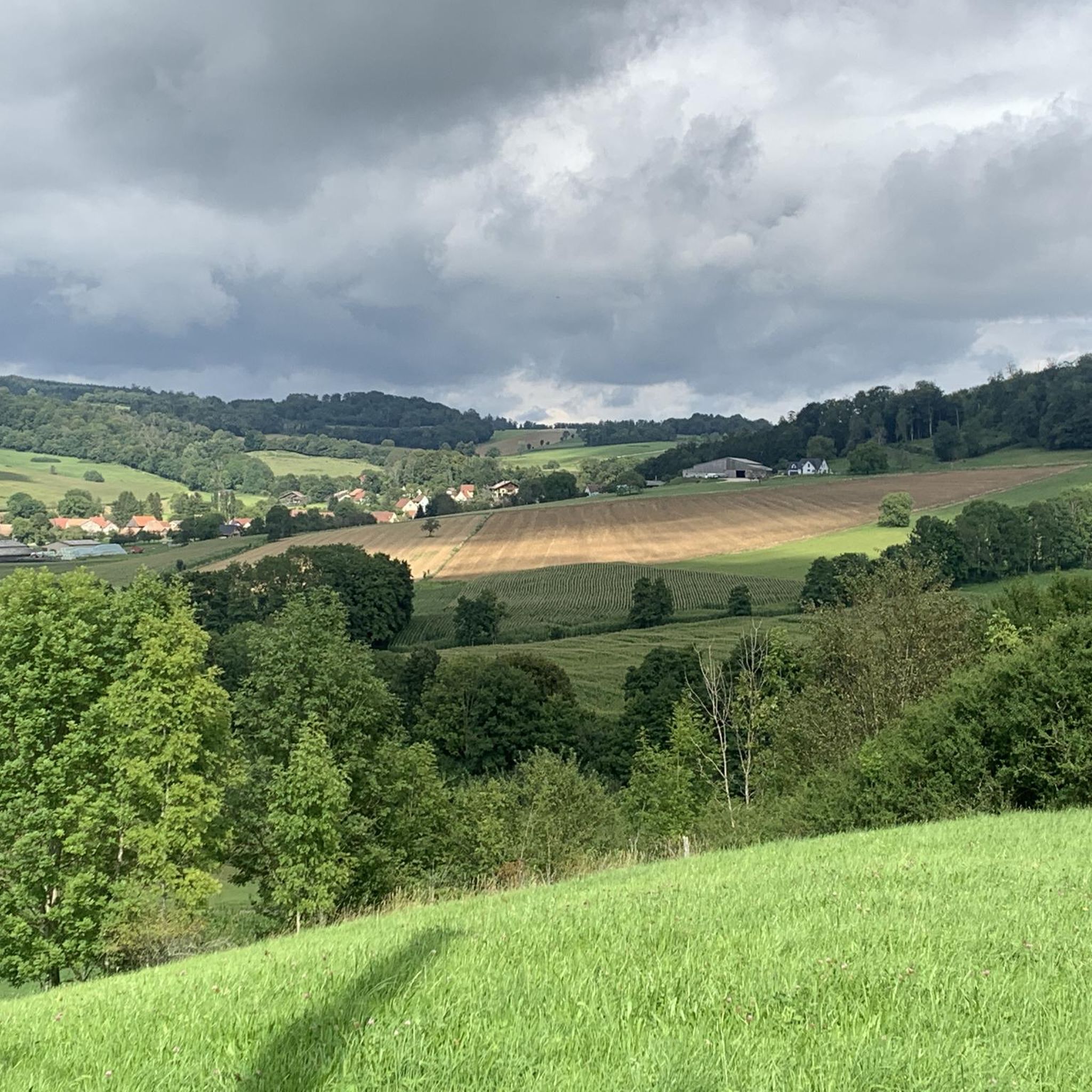
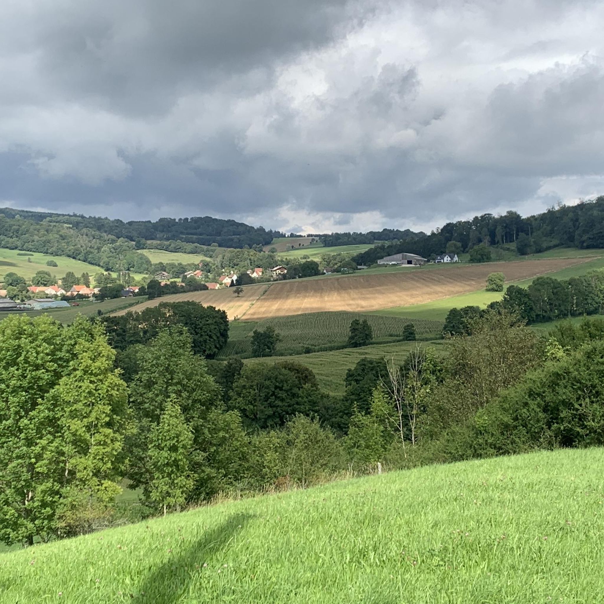
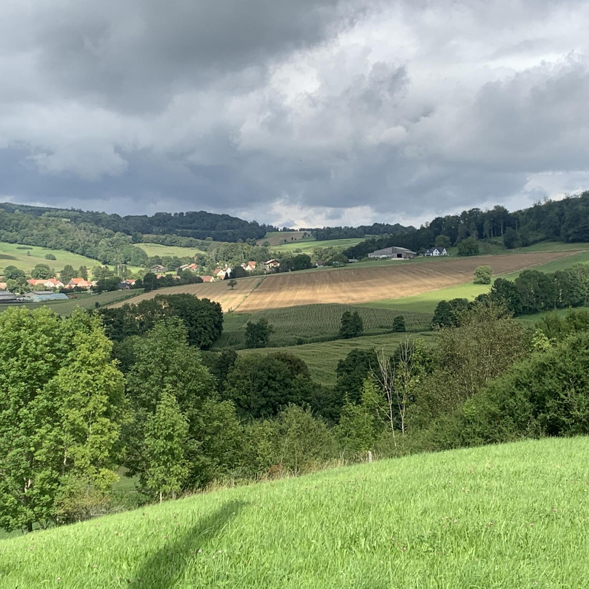
Tips from the Community

The „German infantry outpost at the Largue bridge“ is indeed an interesting installation from the First World War. It is located at the so-called Kilomètre Zéro, where the former Western Front began on the Franco-Swiss border near Pfetterhouse / Mooslargue. The installation is designated as structure No. 8. It was a small concrete casemate for observation and defense. It was built by German troops in the autumn of 1915. Its task was primarily to monitor the exit of the road bridge over the Largue. From there, it was possible to observe whether French soldiers were advancing across the bridge or along the road. The five firing slits are particularly interesting. Together, they covered approximately a 180° area. This allowed the crew to control a relatively large section in front of the position. This is particularly exciting: the road bridge at the time had a stone arch. It was destroyed by the Germans in 1917 because a French attack with tanks was feared. It is also interesting that other German installations are located nearby – including a machine gun outpost at the Moos bridge, blocking positions, and another infantry casemate. The entire area can be explored today via the „Sentier du Kilomètre Zéro“.
0
0
The railway bridges near Pfetterhouse The former Largtalbahn Dannemarie–Pfetterhouse–Bonfol ran directly through the front line. The French army not only used the infrastructure for transport but also integrated the railway line and its bridges into the military infrastructure. The bridges in Bannholz, immediately east/southeast of Pfetterhouse station, are particularly interesting. Today, remnants of the former railway bridges can still be seen there. https://www.flickr.com/photos/94033413@N06/albums/72157633003469056/
0
0
The Largtalbahn: Dannemarie–Pfetterhouse–Bonfol The line was called Largtalbahn in German, or the Dannemarie–Pfetterhouse railway line. It ran from Dannemarie (Dammerkirch) through the Largtal via Dannemarie → Altenach → Mertzen → Friesen → Seppois-le-Bas → Pfetterhouse → Swiss border → Bonfol → Porrentruy. The French section was about 20 km long. The line opened in 1910 and was initially a connection within the then German Empire, or between the German Empire and Switzerland. When the line was built, Alsace still belonged to the German Empire. The state treaty for the railway connection between Pfetterhausen and Bonfol was concluded in 1906 between the German Empire and Switzerland. With the start of the First World War, cross-border traffic was stopped. The border between Pfetterhouse and Bonfol was closed. At the same time, Pfetterhouse was located directly at the southern end of the Western Front. The railway could no longer be used simply as a normal international connection. The military significance of the area was considerable: military operations took place in the forests on both sides of the border, partly to prevent Alsatians from fleeing to Switzerland. Even today, traces of shell impacts are still present there.
0
0

A beautiful chapel along the way, with an interesting information panel about the escape of a French officer during World War II.
0
0

Mörsberg Castle, sometimes called the "Alsatian Pierrefonds," contains impressive remains of the defensive structures surrounding its keep: the flanking tower, which defended the former lodge with several window openings, and the enormous vaulted cellar, more than 50 meters long.
0
0

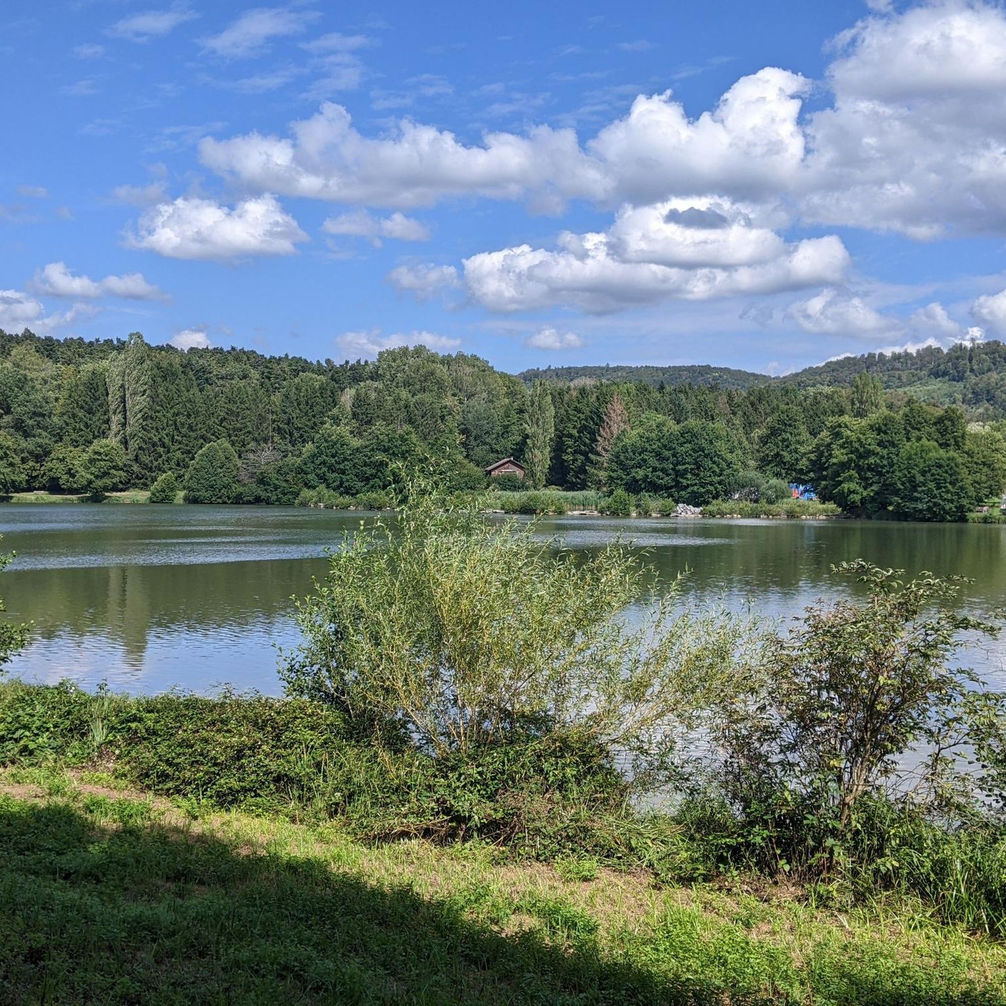
Good spot for a photo. The path around the lake offers many opportunities to stand on the shore.
0
0

In the centre of Bonfol the path is signposted
0
1

Vegetation is not very exciting, like in Switzerland, in a normal forest. The only highlight is the Étang de Bonfol.
0
0
Frequently Asked Questions
How many hiking trails are available around Ottendorf?
There are over 200 hiking routes around Ottendorf, catering to various preferences and skill levels. You'll find a diverse landscape with rolling hills, dense forests, and open meadows, offering everything from easy strolls to more challenging moderate hikes.
What kind of terrain can I expect on hikes in Ottendorf?
The terrain around Ottendorf is quite varied. Depending on the specific region, you might encounter riverside paths along the Saale, forested hillsides in the Holzland, or trails through the unique geological formations of Saxon Switzerland. Routes often traverse agricultural fields, small villages, and feature moderate elevation changes.
Are there any family-friendly hiking options in Ottendorf?
Yes, Ottendorf offers several routes suitable for families. For an easier option, consider the View of the Lake loop from Courtavon, which is an easy 2.3 km hike. Many trails also pass through charming villages and past natural features that can keep younger hikers engaged.
Can I bring my dog on the hiking trails around Ottendorf?
Most hiking trails around Ottendorf are dog-friendly, allowing you to enjoy the natural beauty with your canine companion. It's always a good idea to keep dogs on a leash, especially in nature reserves or near livestock, and to carry water for both yourself and your pet.
Are there any circular hiking routes in Ottendorf?
Yes, there are many circular routes available. A popular choice is the Km 0 – Historic Border Marker D/F/CH loop from Borne frontière N° 116, a 6.7 km trail that takes you through a unique border region. Another option is the Source de la Largue – Château du Morimont loop from Oberlarg, which offers varied terrain and views of the castle.
What natural features or landmarks can I see while hiking in Ottendorf?
Ottendorf's diverse regions offer various natural features and landmarks. In the Saale-Holzland district, you can explore paths along the Saale river. Near Ottendorf-Okrilla, trails lead around the beautiful Étangs de Bonfol and past the historic Lucelle Lake. You might also encounter mountain passes like Blochmont Pass or viewpoints such as the View from the Pass Between Lucelle and Delémont.
What do other hikers enjoy most about the trails in Ottendorf?
The hiking trails around Ottendorf are highly rated by the komoot community, with an average score of 4.6 stars from over 700 reviews. Hikers often praise the varied terrain, from tranquil riverside paths to dense woodlands, and the opportunities to discover both natural beauty and historical sites.
Are there any historical sites or castles to explore on hikes?
Yes, some routes incorporate historical elements. For instance, the Oberlarg and Morimont Castle route passes by historical sites, including a castle. In the Ottendorf-Okrilla area, you can find trails that can be combined with a visit to the impressive Klippenstein Castle Park.
What is the best time of year to go hiking in Ottendorf?
Ottendorf offers appealing hiking opportunities throughout the year. Spring and autumn provide pleasant temperatures and vibrant scenery, with blooming flowers or colorful foliage. Summer is ideal for longer days and enjoying the lush greenery, while winter can offer serene, snow-dusted landscapes, though some paths might be more challenging.
Are there any easy hiking trails for beginners in Ottendorf?
Absolutely. For beginners or those looking for a relaxed walk, there are around 100 easy routes. An example is the View of the Lake loop from Courtavon, which is a short and gentle 2.3 km path with minimal elevation gain.
Can I find routes that are suitable for public transport access?
While specific public transport details vary by location within Ottendorf, many routes are accessible from villages and towns that have public transport connections. It's advisable to check local bus or train schedules for the specific starting points of your chosen hike.
Are there any routes that pass by lakes or water bodies?
Yes, several routes feature lakes and other water bodies. Near Ottendorf-Okrilla, you can explore trails around the Gebergrundsee lake and along the Tännichtbach stream. The Historic Border Marker D/F/CH – Étangs de Bonfol loop from Borne frontière N° 116 also passes by the beautiful Étangs de Bonfol.
Most popular routes around Ottendorf
Most popular attractions around Ottendorf

Get inspired with the komoot mobile app


Explore more
Browse the best Hikes in other regions.
