Attractions and Places To See around Proveysieux - Top 20
Best attractions and places to see around Proveysieux, a commune in the Isère department of France, are situated within the Regional Natural Park of Chartreuse. This area features a blend of historical landmarks and natural landscapes. Visitors can explore majestic mountains, verdant valleys, and a rich ecosystem. The region offers access to various natural formations and cultural sites.
Best attractions and places to see around Proveysieux
- The most popular attractions is Chamechaude, a summit that is the highest peak…
Last updated: October 9, 2026
Col de Porte (1326 m)
Highlight • Mountain Pass
Translated by Google •
Tip by

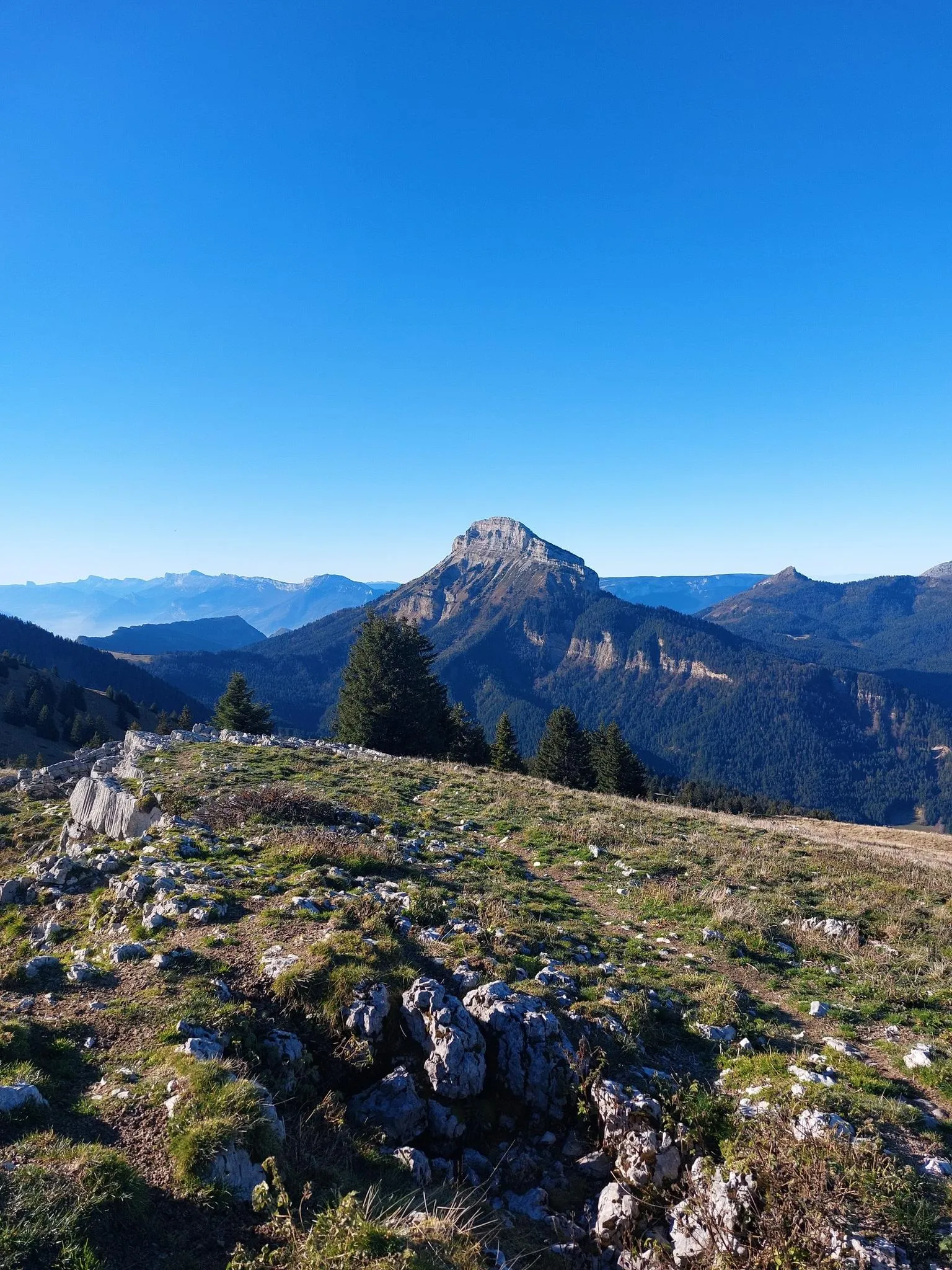
Chamechaude
Highlight • Summit
Translated by Google •
Tip by

Sign up now to discover places like this
Get recommendations on the best single tracks, peaks, & plenty of other exciting outdoor places.
Old streetcar track
Highlight • Other
Translated by Google •
Tip by

Fort of Saint-Eynard
Highlight • Castle
Translated by Google •
Tip by

Dent de Crolles
Highlight • Summit
Translated by Google •
Tip by

Sign up for free to discover even more attractions around Proveysieux.
Already have an account?
Start today with a free account
Your next adventure awaits.
Popular around Proveysieux
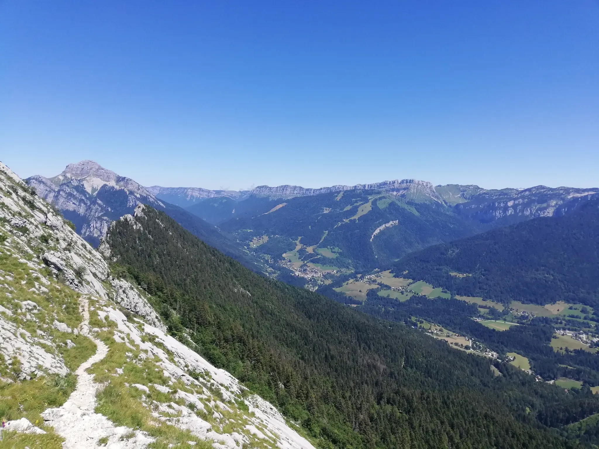
Summits, plateaus and panoramas — 20 trail outings in Chartreuse
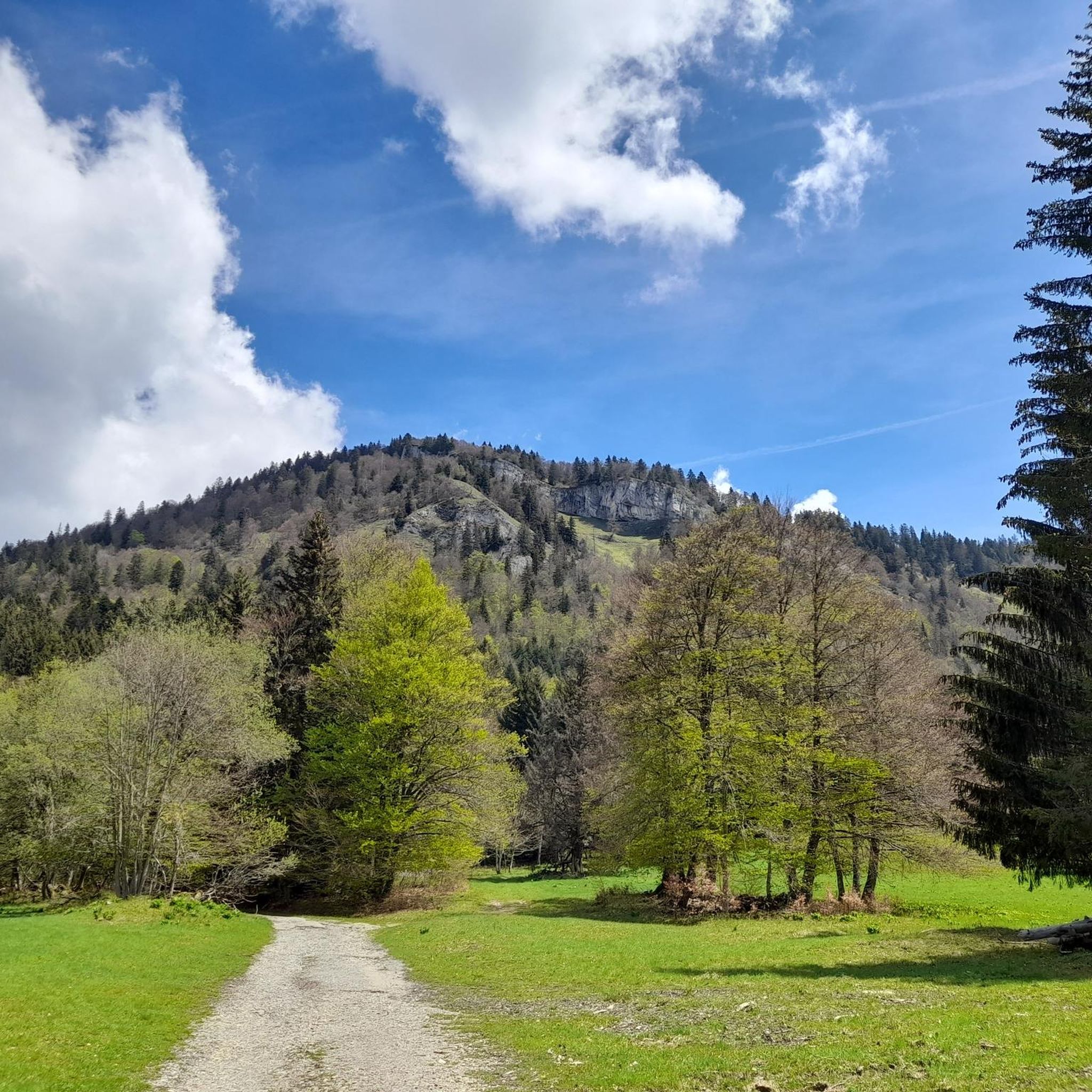
At the gates of Chartreuse in France – Grenoble to Voiron
Road Cycling Routes around Proveysieux
Running Trails around Proveysieux
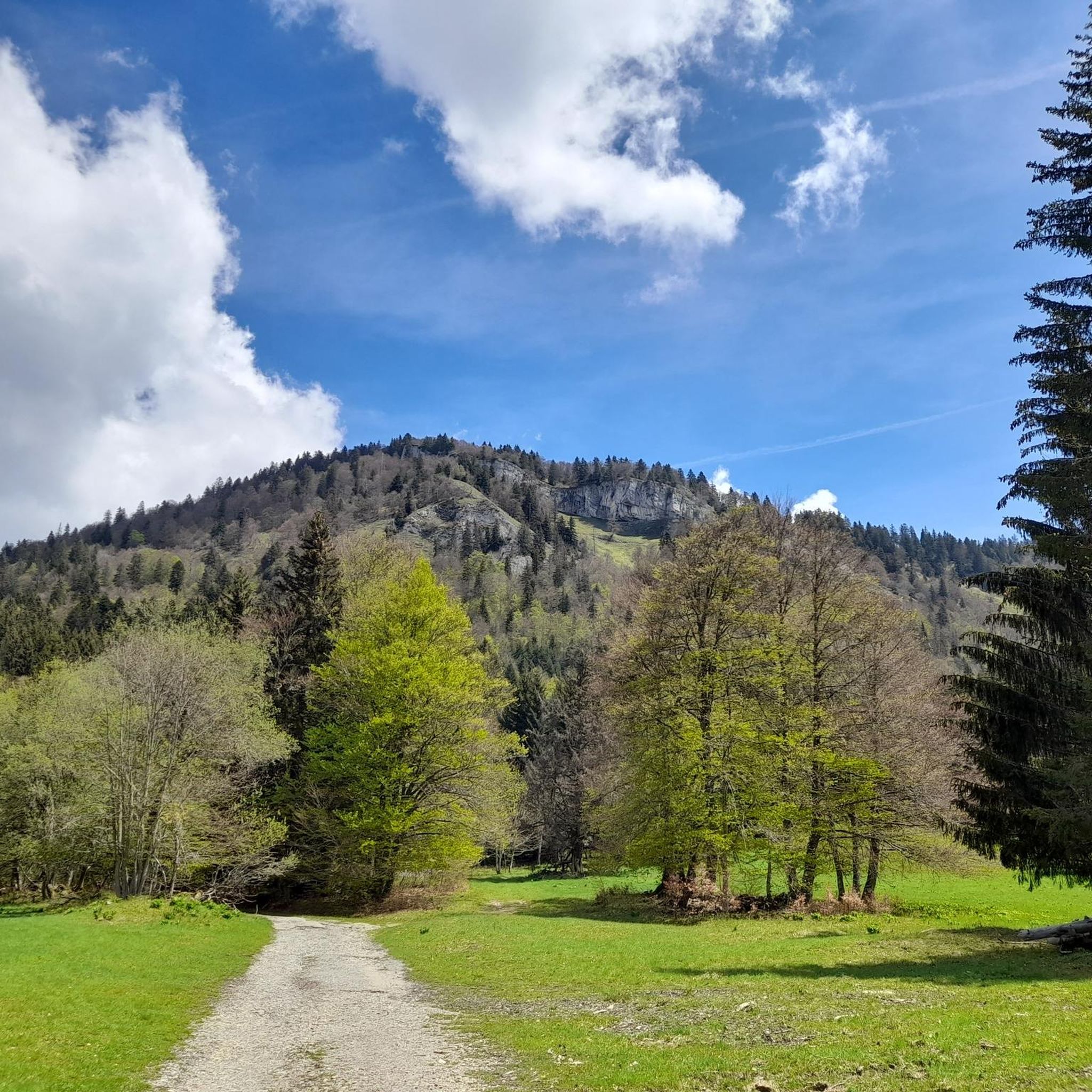
Cycling around Proveysieux
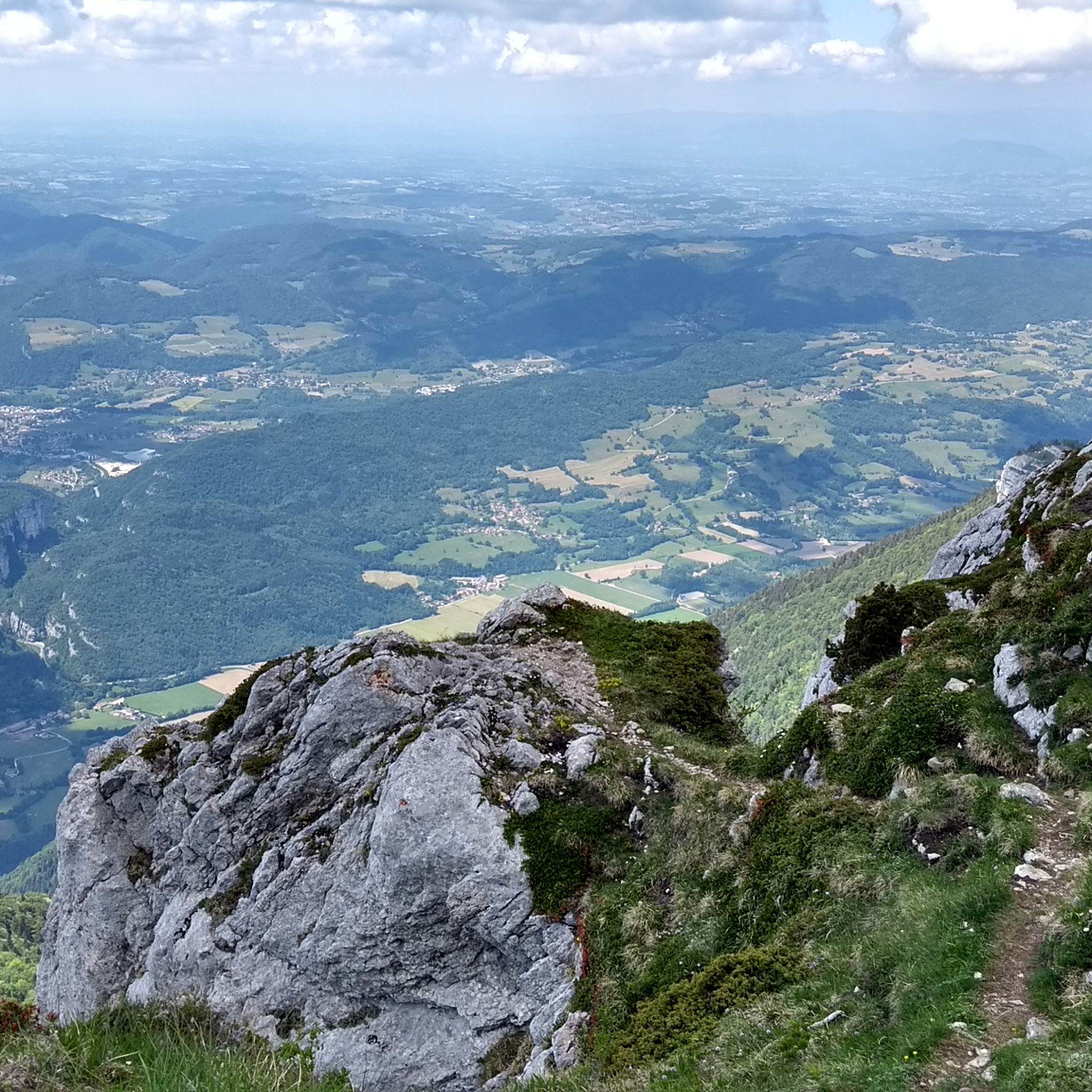
Hiking around Proveysieux
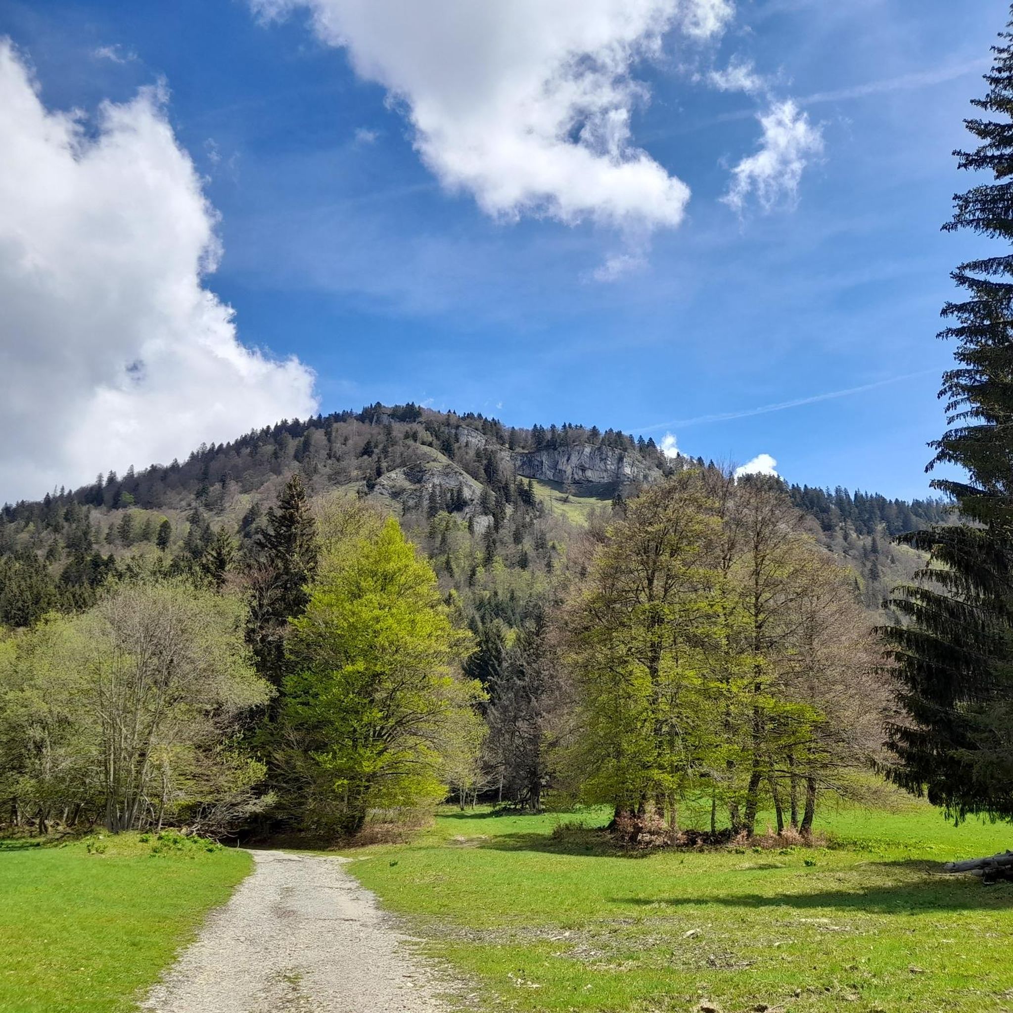
MTB Trails around Proveysieux

Gravel biking around Proveysieux

Mountain Hikes around Proveysieux


Tips from the Community

Joli chemin avec anciens tunnels et une pente régulière mais en vélo gravel le chemin est plutôt cassant et pas très agréable.
0
0

The Dent de Crolles, at 2,062 meters, is one of the best-known peaks in the Chartreuse. This distinctive limestone mountain towers high above the surrounding area and offers, on a clear day, a magnificent view over the Alps and the Grenoble valley. The hike there leads through varied mountain meadows, rocky terrain, and impressive limestone landscapes. A strenuous climb, but the views and the special atmosphere of the Chartreuse make it absolutely worthwhile.
0
0

The Via du Tram trail, from Grenoble to Saint-Nizier-du-Moucherotte, follows the historic route of the tramway line built in 1909. This path takes you on a discovery of the region's wonders and its rich history. From the Resistance and its partisans during World War II to the unique architecture of an old Olympic ski jump, you will visit, through fields, typical hamlets, and wooded valleys, environments with multiple points of interest. The trail's 1,200 meters of elevation gain will lead you to superb viewpoints.
0
0

Overall, a smooth and comfortable gravel route. A few sections are a bit bumpier. Certainly the best option for a leisurely climb towards the Vercors mountains, safe and secure, in a beautiful setting and somewhat shaded when the sun is beating down.
1
0

Favor the climb via Sarcenas, almost no cars
3
0

A stunning summit with views of Mont Blanc. The two climbs from the Col des Ayes are relatively steep, but steel cables are installed at the more dangerous sections. The climb north via the Trou du Glaz is a bit longer and a bit easier. The climb east is a bit steeper and more exposed. The view is good, though.
1
0


Beautifully restored fort with a good restaurant
2
0
Frequently Asked Questions
What kind of natural landscapes can I explore around Proveysieux?
Proveysieux is nestled within the expansive Regional Natural Park of Chartreuse, offering majestic mountains, verdant valleys, and a rich ecosystem. You can discover impressive natural formations like the Chamechaude and Dent de Crolles summits, as well as mountain passes such as Col de Porte (1326 m). The area also features the historic Cooler Proveysieux chasm and the scenic Forest Pomarey.
Are there good hiking opportunities near Proveysieux?
Yes, the area around Proveysieux, particularly within the Regional Natural Park of Chartreuse, offers a wealth of marked hiking trails. You can find routes ranging from moderate to difficult. For specific hiking ideas, explore the Hiking around Proveysieux guide, which includes trails like the La Grande Sure Loop, or the Mountain Hikes around Proveysieux guide for more challenging ascents.
What are some challenging hikes in the area?
For experienced hikers, the ascent of Dent de Crolles is considered more technical than Chamechaude, involving steep sections and a chained path. The Mountain Hikes around Proveysieux guide features difficult routes such as the Le Néron loop from Saint-Martin-le-Vinoux and L'Écoutoux loop from Le Sappey-en-Chartreuse.
Are there any viewpoints offering panoramic scenery?
Absolutely. The summit of Chamechaude (2082m) provides exceptional 360-degree views of the entire region and surrounding massifs. Similarly, Dent de Crolles offers a magnificent panorama over the Grésivaudan valley. For a high-altitude alpine pasture view, visit La Molière Alpine Pasture and Panoramic View, and the Fort of Saint-Eynard also offers great vistas, especially from the nearby Izon cross.
What historical sites can I visit in Proveysieux?
Proveysieux boasts a rich heritage. You can visit the Romanesque Church of St. Peter, which dates back to the twelfth century, and admire various village shrines, such as the one in the Planfay hamlet. The area also features well-preserved traditional farmhouses and other rural heritage buildings. Additionally, the Fort of Saint-Eynard, a renovated 19th-century military fort, offers a glimpse into the region's past.
Are there unique cultural trails in Proveysieux?
Yes, Proveysieux is home to the unique Painters Trail. This trail highlights the landscapes that inspired numerous 19th-century artists like Theodore Ravanat, Jean Achard, and Diodorus Rahoult, who gathered in the area for their artistic pursuits.
When is the best time to visit Proveysieux for outdoor activities?
The best time to visit Proveysieux for outdoor activities like hiking and cycling is typically from late spring to early autumn (May to October), when the weather is mild and trails are clear of snow. Summer offers lush greenery and warmer temperatures, while spring and autumn provide pleasant conditions with fewer crowds and beautiful seasonal colors. Some mountain roads may not be cleared of snow in winter, impacting accessibility.
Are there options for dining or refreshments near the attractions?
While Proveysieux is a commune focused on natural and historical sites, some attractions may offer facilities. The Fort of Saint-Eynard, for example, has a restaurant, though it's advisable to check its current operating status in advance. For more options, you'll find cafes and pubs in nearby villages and towns.
Can I find circular walks around Proveysieux?
Yes, there are several circular walks available. A pleasant option is the circular walk through the woods of Proveysieux leading to the Belvédère du Sialet, which offers a bird's-eye view of the Isère valley. Many routes in the Hiking around Proveysieux guide are also designed as loops.
What cycling routes are available near Proveysieux?
The area is popular for cycling, especially mountain passes like Col de Porte (1326 m), known for routes with significant elevation gain. For gravel biking enthusiasts, the Gravel biking around Proveysieux guide offers routes such as the Quaix-en-Chartreuse – Clémencières Pass loop or the Banks of the Isère River loop.
Is Proveysieux suitable for wildlife spotting?
Yes, the Regional Natural Park of Chartreuse, where Proveysieux is located, is rich in flora and fauna. When visiting peaks like Chamechaude, you can expect to encounter diverse wildlife. Visitors to Dent de Crolles have even reported waking up to chamois in the early morning, making it a great spot for wildlife observation.
What do visitors particularly enjoy about the attractions around Proveysieux?
Visitors frequently praise the breathtaking panoramic views from summits like Chamechaude and Dent de Crolles, often extending to the highest Alpine peaks on clear days. The diverse flora and fauna are also highly appreciated. The La Molière Alpine Pasture is loved for its superb panorama and grazing cows, while the Fort of Saint-Eynard is valued for its historical significance and strategic viewpoints.
Most popular routes around Proveysieux
Most popular attractions around Proveysieux

Get inspired with the komoot mobile app


Explore more
Still not found the Highlight you’re looking for? See guides of the top attractions in other regions:
