The best MTB trails around Mont-Saint-Martin
4.3
(723)
3,979
riders
115
rides
Mountain biking around Mont-Saint-Martin, located in the French Alps, offers diverse terrain for riders of all levels. The region is characterized by its mountainous landscape, featuring forests, alpine meadows, and significant elevation changes. Trails often traverse valleys and lead to high-altitude viewpoints, providing varied riding experiences. This area provides a network of routes that integrate natural features with challenging ascents and descents.
Best mountain bike trails around Mont-Saint-Martin
- The most popular mountain bike trail is Monastery – Monastère de Chalais…
Last updated: November 1, 2026
3.9
(14)
55
riders
19.7km
01:52
610m
610m
Moderate mountain bike ride. Good fitness required. Advanced riding skills necessary.
3.0
(3)
25
riders
47.0km
03:23
780m
780m
Hard mountain bike ride. Good fitness required. Advanced riding skills necessary. Some portions of the route may require you to push your bike.

4.3
(4)
29
riders
Easy mountain bike ride.
4.0
(4)
27
riders
Hard mountain bike ride. Good fitness required. Advanced riding skills necessary. Some portions of the route may require you to push your bike.
5.0
(1)
13
riders
21.3km
02:25
810m
810m
Hard mountain bike ride. Good fitness required. Advanced riding skills necessary. Some portions of the route may require you to push your bike.
Get access to more routes and recommendations from other explorers.
Already have an account?
Our route recommendations are based on thousands of hikes, rides, and runs completed by other people on komoot.
Start today with a free account
Your next adventure awaits.
Tips from the Community

La Véloroute de l'Isère, officially integrated into the national route La Belle Via (referenced under number V63), is a cycling route of over 200 kilometers that runs along the Isère river. It connects the foothills of Savoie to the Drôme (connection with ViaRhôna), by crossing the entire department of Isère and its capital, Grenoble.
0
0
The La Véloroute de l'Isère, officially integrated into the national route La Belle Via (referenced under number V63), is a cycling route of over 200 kilometers that runs along the Isère river. It connects the foothills of Savoie to the Drôme (connection with ViaRhôna), by crossing the entire department of Isère and its capital, Grenoble.
0
0
The Véloroute de l'Isère, officially integrated into the national route La Belle Via (referenced under number V63), is a cycling route of over 200 kilometers that runs along the Isère river. It connects the foothills of Savoie to the Drôme (connection with ViaRhôna), by crossing the entire department of Isère and its capital, Grenoble.
0
0

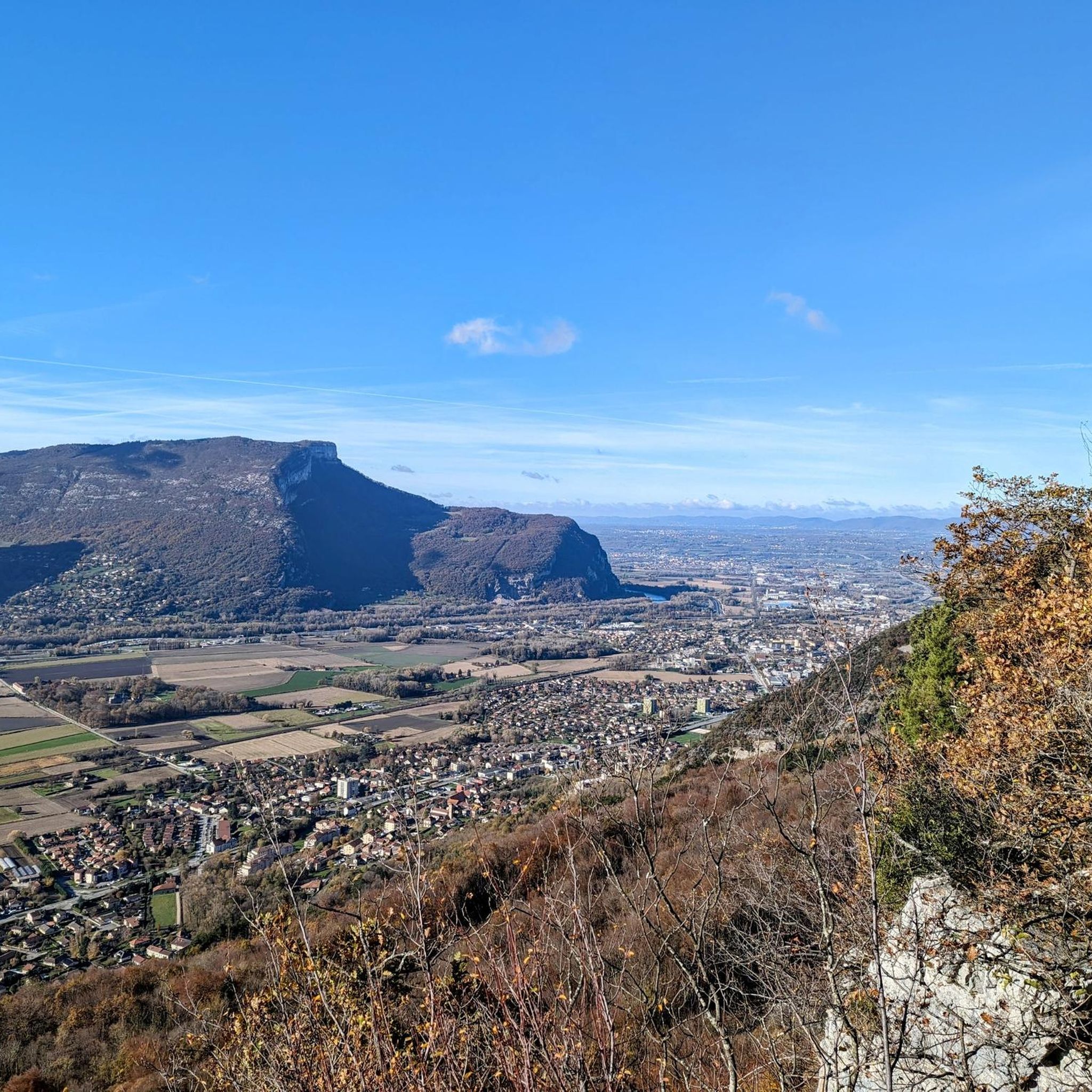
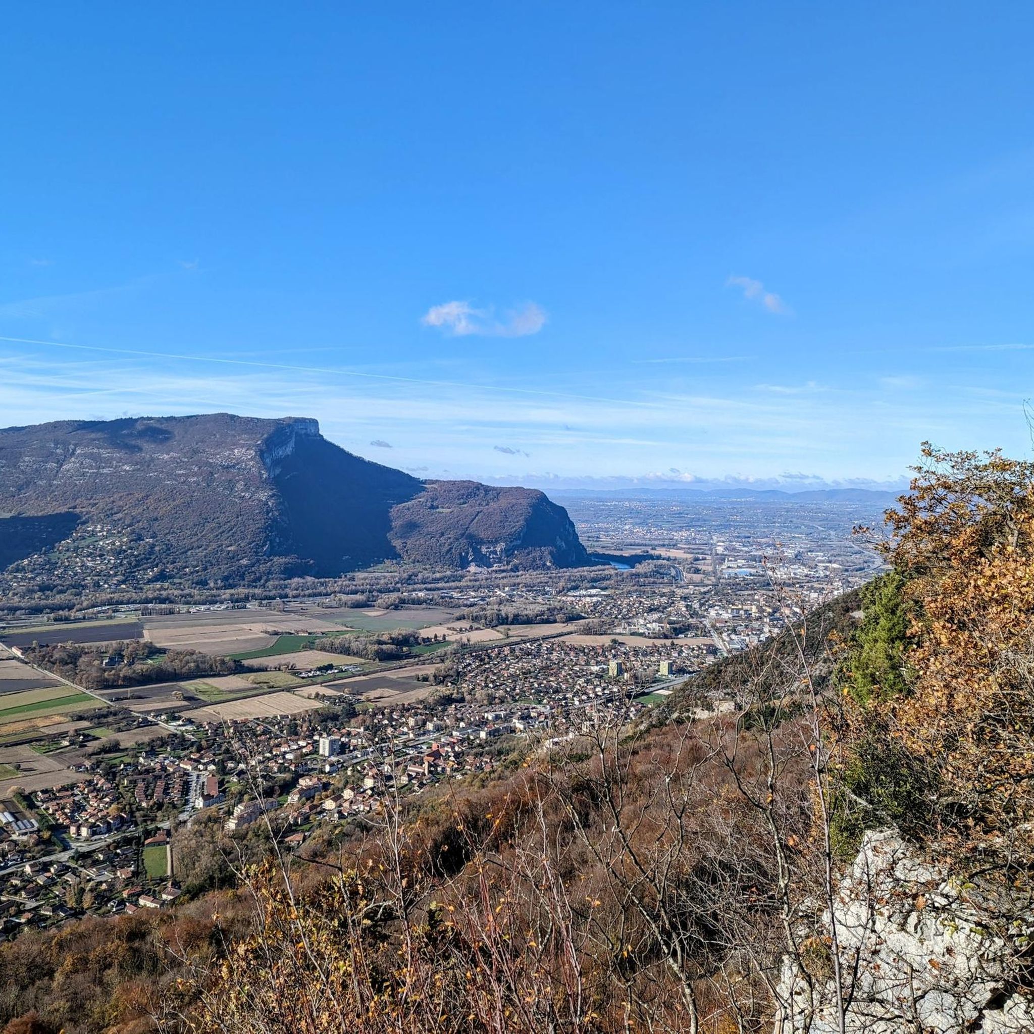
Beautiful view of the Isere and the mountains.
1
0

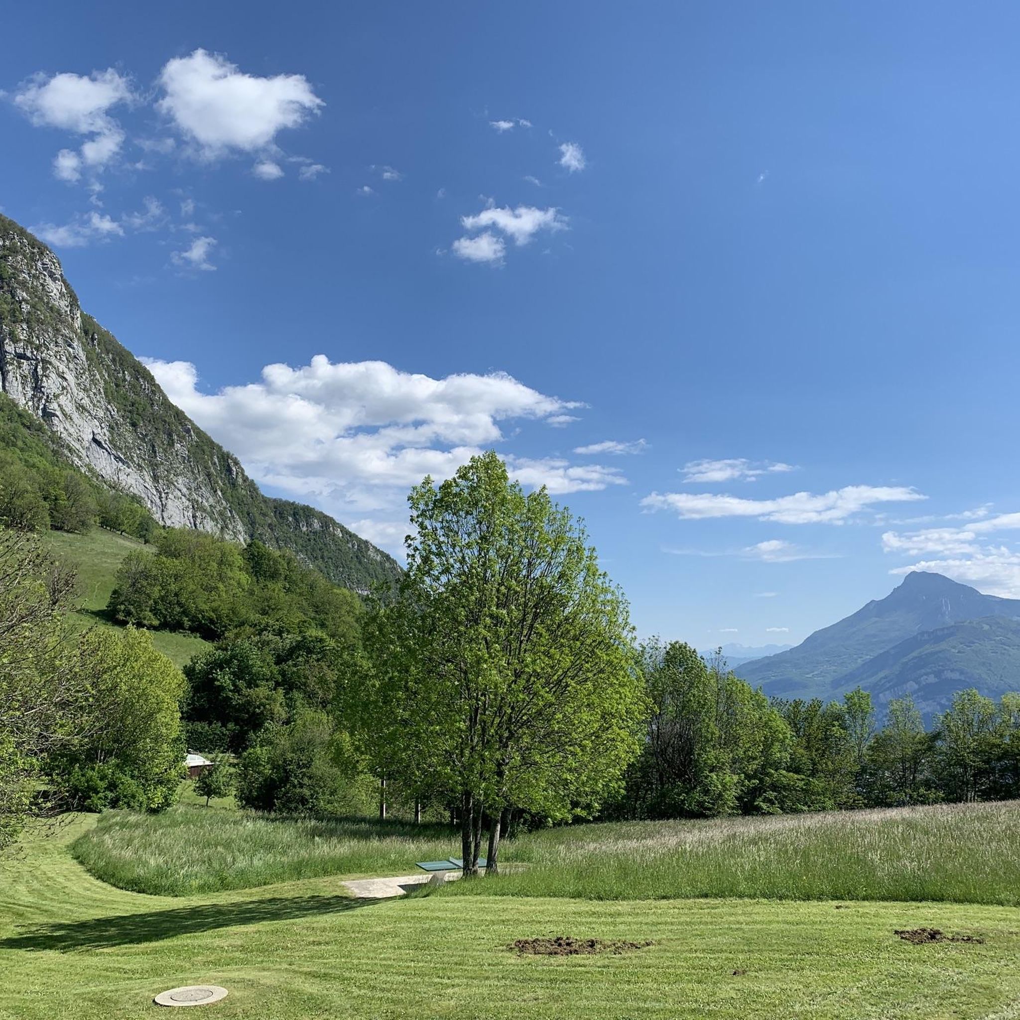
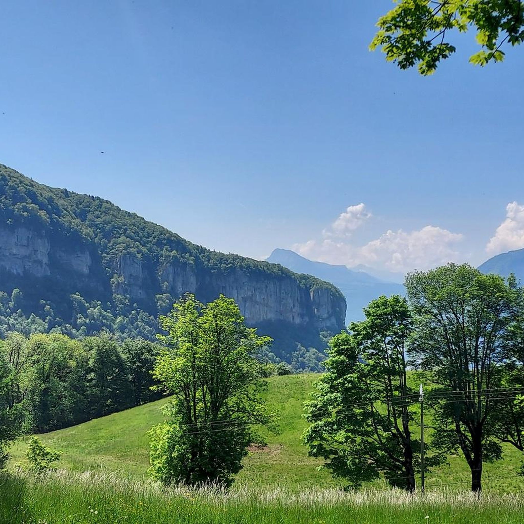
Rolling and pleasant trail
0
0

Here is the route for the ascent of the Col de Clémencières starting from Saint-Martin-le-Vinoux
1
0

This bridge with a cycle path offers a beautiful view of the river and the surrounding mountains.
0
0

Not far from Vorreppe, the Isère River flows around the Bec de l'Échaillon, which overlooks it at an altitude of 622 meters. This meander offers a magnificent view of this Vercors peak.
0
0
Frequently Asked Questions
What kind of mountain biking can I expect around Mont-Saint-Martin?
Mountain biking around Mont-Saint-Martin, located in the French Alps, offers diverse terrain characterized by forests, alpine meadows, and significant elevation changes. You'll find routes traversing valleys and leading to high-altitude viewpoints, providing varied experiences from challenging ascents to thrilling descents.
How many mountain bike trails are available in the Mont-Saint-Martin area?
There are nearly 100 mountain bike trails around Mont-Saint-Martin. This includes a wide range of options, with 9 easy routes, 20 moderate routes, and 67 difficult trails, catering to various skill levels.
Are there any family-friendly mountain bike trails near Mont-Saint-Martin?
Yes, Mont-Saint-Martin offers gentle routes suitable for beginners and families. While specific family-designated trails are not detailed, the region's network includes easier options. For example, the Isère cycle route loop from Saint-Égrève - Saint-Robert is a moderate trail that follows the valley, offering a less strenuous ride.
What are some challenging mountain bike trails for experienced riders?
Experienced riders will find plenty of challenging options. The Monastery – Monastère de Chalais loop from Fontanil-Cornillon is a difficult 22.6 km trail with significant elevation gain. Another demanding route is the Saint-Égrève Dam-Bridge – Mortier Tunnel loop from Saint-Égrève - Saint-Robert, a 41.0 km path with substantial climbing.
What natural features or landmarks can I see along the mountain bike trails?
The trails often lead through scenic areas. You can explore impressive gorges such as Gorges du Guiers Mort or Coup de Sabre Gorge. There's also a beautiful Waterfall and Rocky Stream in Parc Naturel Régional du Vercors. Many routes offer stunning views, including the View of the Infernet Gorge.
Are there any mountain peaks accessible by bike or offering great views?
Yes, the region is surrounded by notable peaks. While some may require hiking, you can often find trails that offer panoramic views of summits like Chamechaude, Charmant Som summit, and La Grande Sure. The Placette Pass – Col de la Placette (588 m) loop from Mont-Saint-Martin offers views as it traverses higher ground.
What do other mountain bikers say about the trails in Mont-Saint-Martin?
The mountain bike trails around Mont-Saint-Martin are highly rated by the komoot community, with an average score of 4.3 stars from over 680 reviews. Riders often praise the diverse terrain, the challenging ascents, and the rewarding views of the French Alps.
Are there any circular mountain bike routes in the area?
Yes, many of the trails around Mont-Saint-Martin are designed as loops. Examples include the Monastery – Monastère de Chalais loop from Fontanil-Cornillon and the Isère cycle route loop from Saint-Égrève - Saint-Robert, allowing you to start and finish at the same point.
What is the best time of year to go mountain biking in Mont-Saint-Martin?
The French Alps region, including Mont-Saint-Martin, is ideal for mountain biking during the warmer months, typically from late spring through early autumn (May to October). During this period, the alpine meadows are lush, and the trails are generally free of snow, offering the best conditions for riding.
Are there options for downhill mountain biking near Mont-Saint-Martin?
Yes, for those seeking downhill thrills, the region offers trails with technical descents. The Chemin des crêtes – Downhill loop from Saint-Égrève - Saint-Robert is an example of a route that includes significant downhill sections, catering to riders looking for gravity-assisted fun.
Is there parking available at the trailheads?
While specific parking details for every trailhead are not provided, many trail access points in the French Alps region typically offer designated parking areas, especially in villages or near popular starting points. It's advisable to check individual route details on komoot for precise parking information before your ride.
Most popular routes around Mont-Saint-Martin
Most popular attractions around Mont-Saint-Martin

Get inspired with the komoot mobile app


Explore more
Browse the best MTB trails in other regions.
