The best MTB trails around Erstein
4.4
(293)
935
riders
140
rides
Mountain biking around Erstein offers diverse routes within the natural region of the "Ried" of Alsace. This area is characterized by a rich hydrographic network, including the Ill river and the Canal of Rhône to Rhine, and extensive forests like the Forêt d'Erstein. While the immediate vicinity is largely flat due to its floodplain nature, the wider Alsace region provides varied topography with more challenging sections and elevation gains. The landscape features alluvial forests and numerous waterways, creating a unique…
Last updated: September 29, 2026
18
riders
153km
11:27
1,860m
1,860m
Hard mountain bike ride. Very good fitness required. Advanced riding skills necessary.
4.3
(6)
19
riders
54.2km
03:04
90m
90m
Moderate mountain bike ride. Good fitness required. Advanced riding skills necessary.

4.7
(9)
19
riders
35.0km
02:25
50m
50m
Moderate mountain bike ride. Good fitness required. Suitable for all skill levels.
3.7
(3)
9
riders
36.0km
02:26
50m
50m
Moderate mountain bike ride. Good fitness required. Suitable for all skill levels.
5.0
(3)
11
riders
30.7km
01:43
40m
40m
Easy mountain bike ride. Great for any fitness level. Suitable for all skill levels.
Get access to more routes and recommendations from other explorers.
Already have an account?
Our route recommendations are based on thousands of hikes, rides, and runs completed by other people on komoot.
Start today with a free account
Your next adventure awaits.
Tips from the Community

The Odilienberg (763 m) in Alsace is the most important spiritual center of the region. Founded around 690 by Saint Odilia, the monastery attracts hundreds of thousands of pilgrims annually. The centerpiece of the complex is the Basilica of the Assumption of Mary (1687–1692) with the burial chapel, where the relics of the patron saint rest in an 8th-century sandstone sarcophagus. Directly on the panoramic terrace are the Chapel of Tears and the Chapel of Angels (12th century), known for their luminous gold mosaics from 1935. Inside the basilica, there is also a fine wooden inlaid Way of the Cross by Charles Spindler. Below the monastery rocks runs a magnificent hiking trail. It leads past the monumental, colorful ceramic Way of the Cross (14 stations) and the Lourdes Grotto, both integrated directly into the red sandstone by Léon Elchinger in the 1930s. About a 15-minute walk further down, the Odilien spring emerges in the forest, its water traditionally sought for eye ailments. The entire mountain plateau is enclosed by the Heidenmauer, a mysterious, 11-kilometer-long prehistoric defensive wall. Following the hiking trails further south, you reach the Maennelstein (817 m), the highest point of the ridge, which offers a wide panoramic view over the Rhine plain to the Black Forest. The monastery grounds are open all year round and admission is free. Would you like to use this short text for a brochure or are you still looking for information on how to get there for your tour? AI answers may contain errors. For legal advice, you should consult an expert. More information
0
1

Very nice town center with market square and town hall. The excellent restaurant L'Auberge & Trattoria du Ried am Markt offers a beautiful view of the square and town hall.
0
0


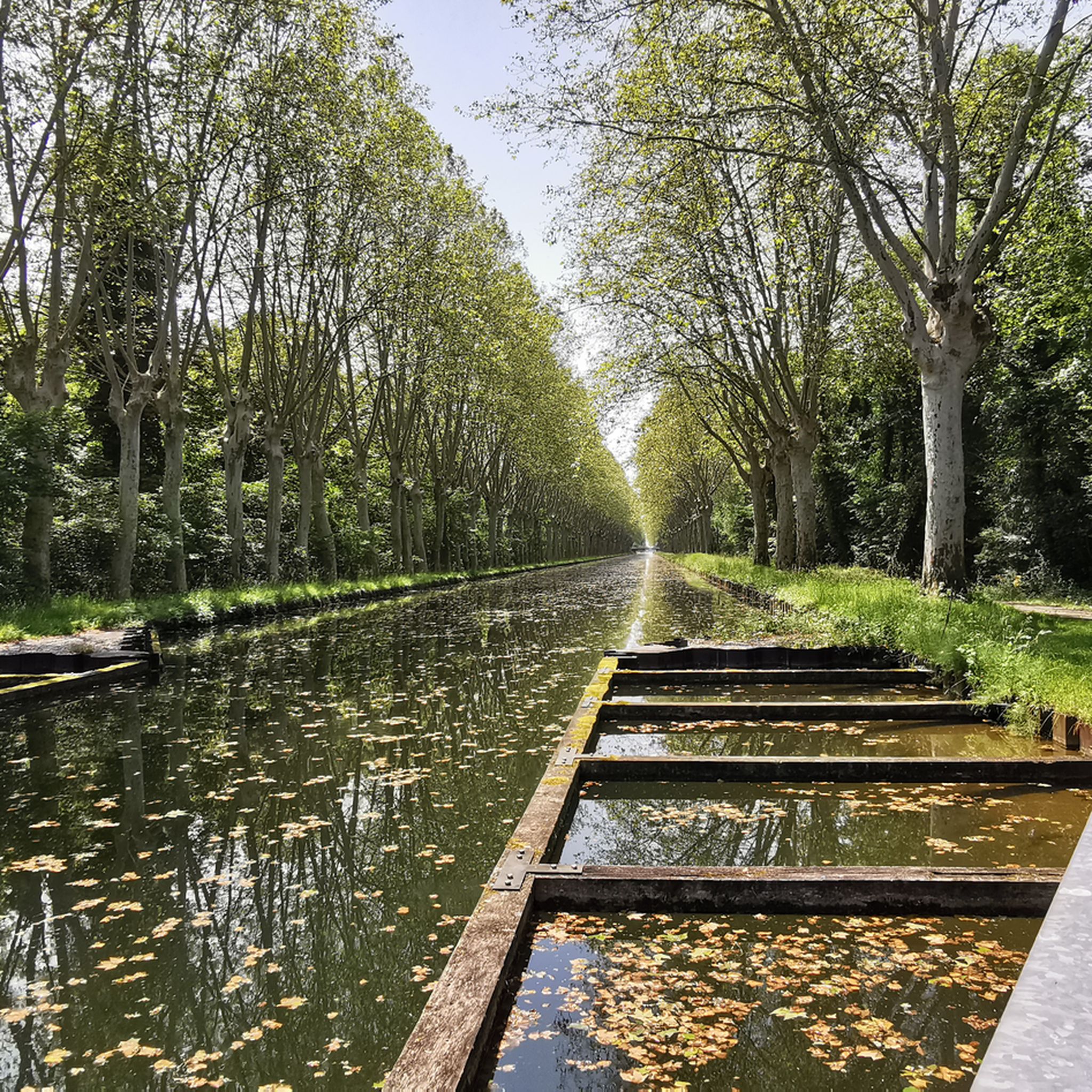
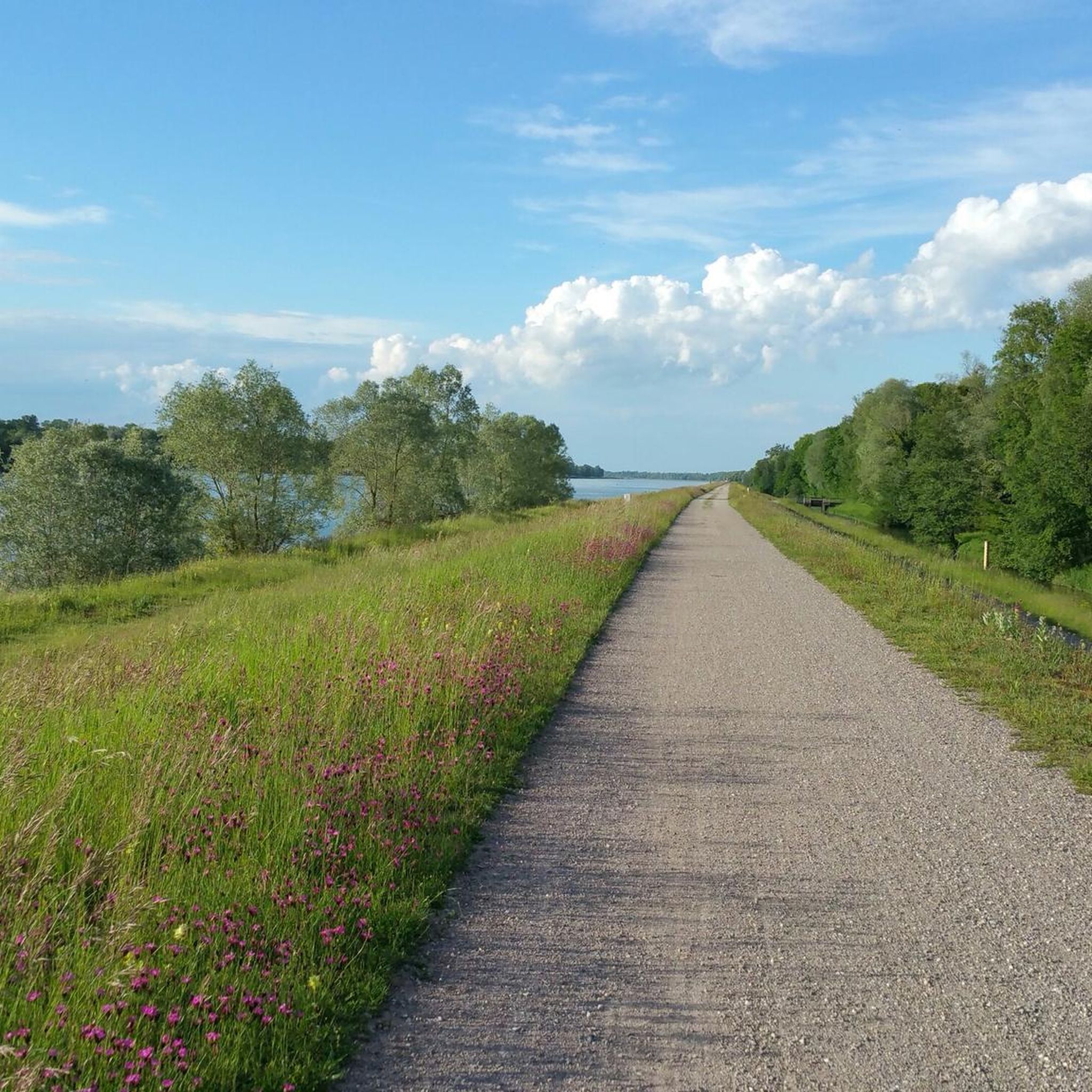
A 50-km paved bike path, straight along the canal. And without any traffic of any kind. Cycling along it was simply fantastic ❗️❗️❗️
0
0

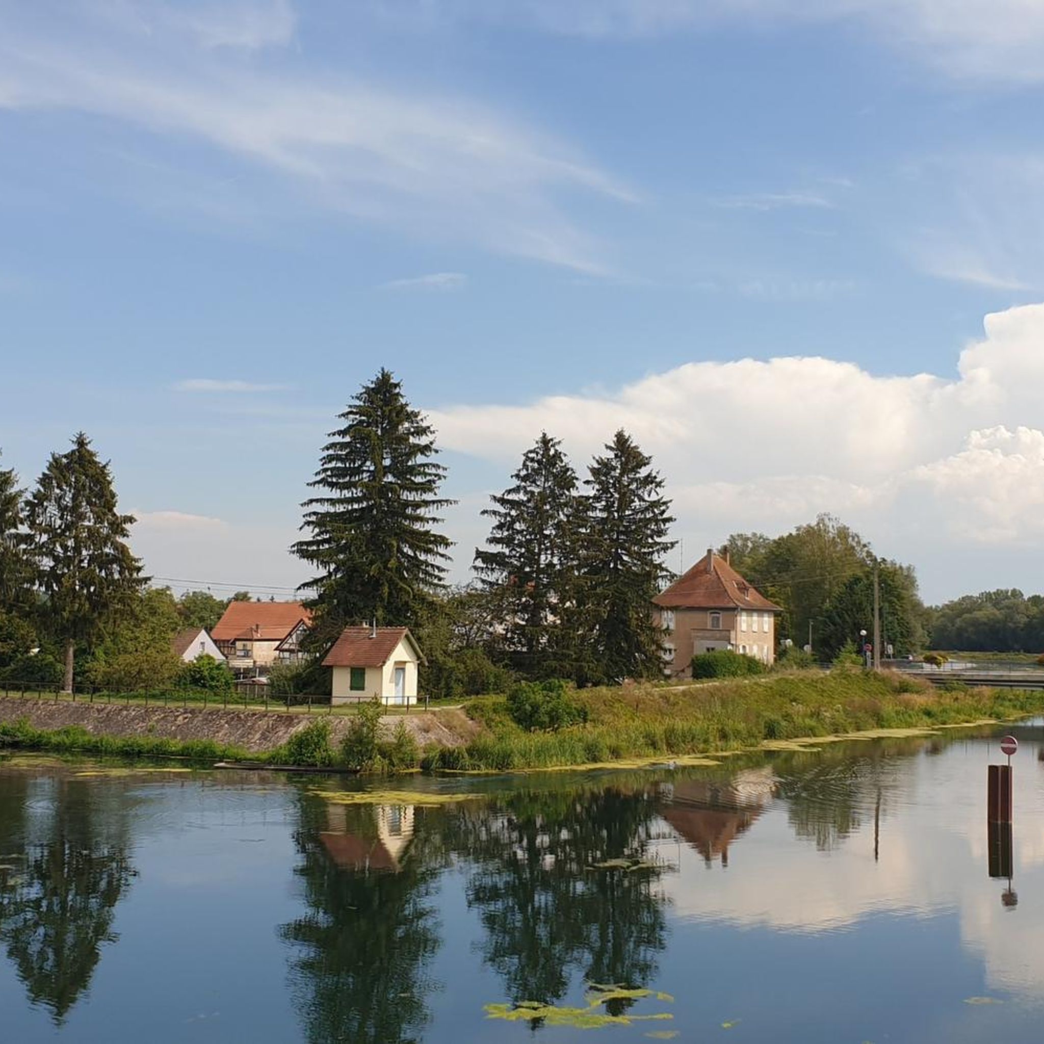
Very impressive historic building on the river!
4
0

Very pleasant circuit. No difficulty.
0
0
Frequently Asked Questions
How many mountain bike trails are available around Erstein?
There are over 130 mountain bike trails around Erstein, offering a wide range of options for different skill levels and preferences. This includes 45 easy routes, 80 moderate routes, and 6 difficult routes.
Are there easy mountain bike trails suitable for beginners or families in Erstein?
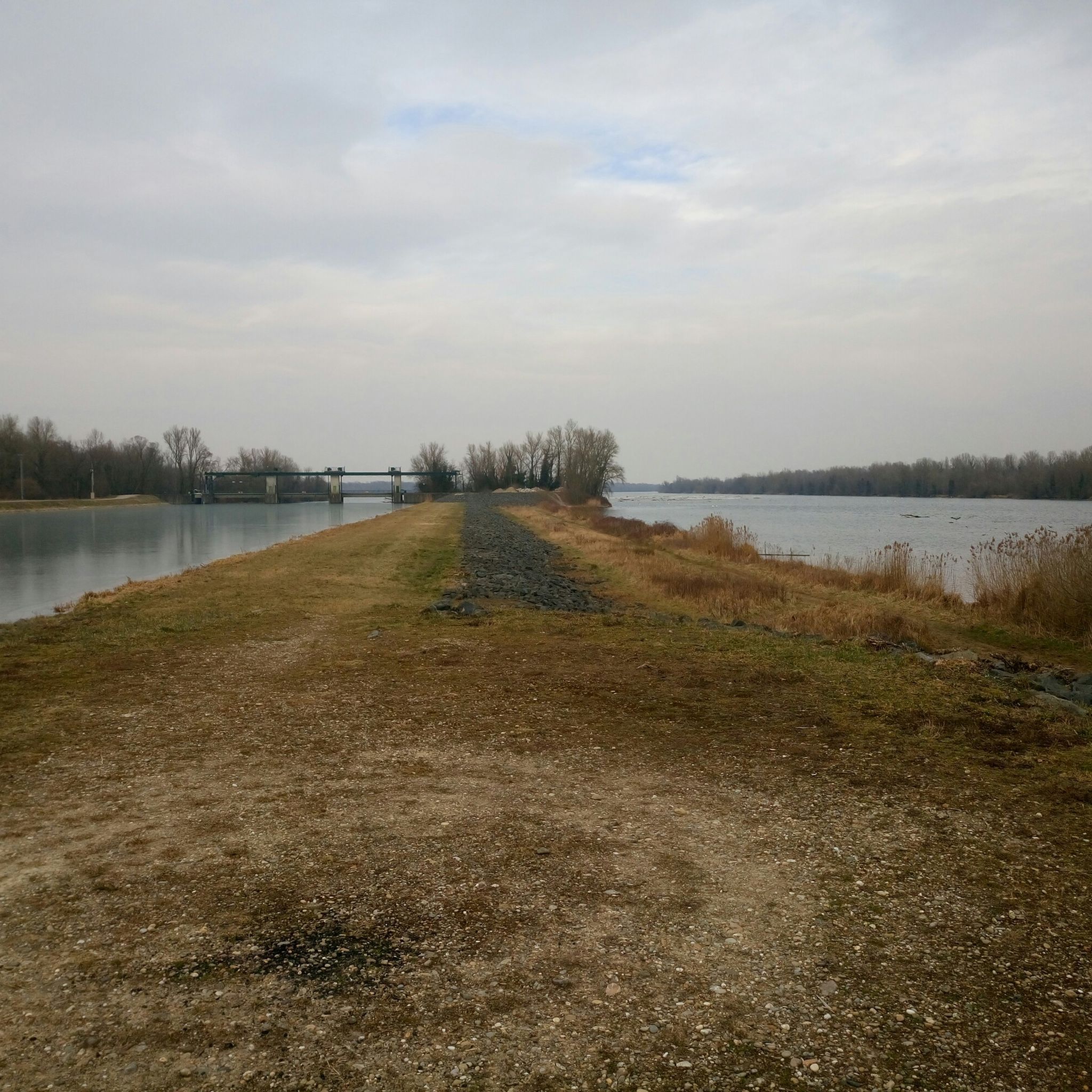
Yes, Erstein offers 45 easy mountain bike trails, many of which are suitable for beginners or families. These routes often follow the flat, scenic canal paths, such as the Boofzheim lock – Rhône–Rhine Canal loop from Erstein or the Rhône–Rhine Canal – Steinsau Dam loop from Erstein. These trails provide a gentle introduction to mountain biking within the beautiful Ried region.
What kind of terrain can I expect on mountain bike trails in Erstein?
The terrain around Erstein is largely characterized by the natural region of the "Ried" of Alsace, featuring a rich hydrographic network and extensive forests like the Forêt d'Erstein. You'll find many flat river courses and canal paths, but also dense forests. While the immediate vicinity is relatively flat due to its floodplain nature, the wider Alsace region offers varied topography with more challenging sections and elevation gains, especially on routes extending towards the Vosges mountains.
Are there any challenging mountain bike routes for experienced riders?
Yes, for experienced riders seeking a challenge, there are 6 difficult mountain bike routes around Erstein. A notable example is the Mont Sainte-Odile Abbey – Bernstein Castle loop from Erstein. This extensive 94.8-mile (152.6 km) route features significant elevation gain and leads to historical landmarks, requiring good fitness and advanced riding skills.
What are some popular loop trails for mountain biking in Erstein?
Many mountain bike trails around Erstein are designed as loops, offering convenient starting and ending points. Popular loop options include the Rhône–Rhine Canal – La Petite France loop from Erstein, a moderate 33.7-mile (54.2 km) path, and the Rhône–Rhine Canal – Canal du Rhone au Rhin loop from Matzenheim, which is 22.7 miles (36.5 km) long and explores the water-rich Ried region.
What can I see along the mountain bike trails around Erstein?
The trails around Erstein offer a blend of natural beauty and interesting landmarks. You can explore the unique ecosystem of the Ried of Alsace with its extensive waterways and the biodiverse Forêt d'Erstein. Along the routes, you might encounter highlights such as the Canal du Rhône au Rhin Tree-Lined Path, the Canal du Rhône au Rhin Lock and Lockkeeper's House, or even the Free ferry 🇩🇪Kappel am Rhein–🇫🇷Rhinau.
What do other mountain bikers enjoy the most about mountain biking in Erstein?
The mountain biking experience in Erstein is highly rated by the komoot community, with an average score of 4.3 stars from over 180 reviews. Riders often praise the diverse landscape, including the extensive hydrographic network and the dense Forêt d'Erstein. The variety of routes, from flat canal paths to more challenging sections, is also frequently highlighted, catering to different ability levels.
Are there any shelters or huts along the mountain bike routes?
Yes, there are several shelters and huts located along or near the mountain bike routes around Erstein. These can be useful for a rest stop or in case of unexpected weather. Examples include the S' Maddehisl Shelter, the Auwald Hut by the Lake, and the Schollenhütte. Some areas also feature facilities like a river island with barbecue area and shelter.
What is the best time of year for mountain biking in Erstein?
The Alsace region generally offers good conditions for mountain biking throughout much of the year. Spring and autumn provide pleasant temperatures and beautiful scenery, especially with the changing colors of the forests. While the fan-out queries mention winter, specific data on winter conditions isn't available, but the extensive hydrographic network suggests that some areas might be prone to wet conditions after heavy rain or during thaw. Always check local weather and trail conditions before heading out.
How long do mountain bike trails in Erstein typically take to complete?
The duration of mountain bike trails in Erstein varies significantly depending on the route's distance and difficulty. For instance, an easy route like the Boofzheim lock – Rhône–Rhine Canal loop from Erstein (19.3 miles / 31 km) can be completed in about 2 hours. Moderate trails, such as the Rhône–Rhine Canal – La Petite France loop from Erstein (33.7 miles / 54.2 km), typically take around 3 hours 8 minutes. More difficult and longer routes, like the Mont Sainte-Odile Abbey – Bernstein Castle loop from Erstein (94.8 miles / 152.6 km), can take over 11 hours.
Are there opportunities to combine mountain biking with exploring historical sites?
Yes, some mountain bike routes in the wider Erstein area extend to historical landmarks. For example, the challenging Mont Sainte-Odile Abbey – Bernstein Castle loop from Erstein leads to significant historical sites, offering a blend of strenuous riding and cultural exploration. The Alsace region as a whole is rich in history, and many trails pass through areas with historical significance.
Most popular attractions around Erstein

Get inspired with the komoot mobile app


Explore more
Browse the best MTB trails in other regions.
