The best running trails around Burgheim
4.4
(358)
20,071
runners
563
runs
Jogging around Burgheim offers diverse terrain across picturesque landscapes in Bavaria. The region features rolling hills, extensive forests, and the winding Danube River, providing varied running routes. Joggers can find flat paths along riverbanks or more challenging trails with moderate ascents through areas like the Urdonautal. This natural setting caters to different fitness levels, making it suitable for a range of running experiences.
Best jogging routes around Burgheim
- The most popular jogging route is Obernai–Goxwiller Cycle Path loop from Bourgheim…
Last updated: October 4, 2026
5.0
(2)
535
runners
31.0km
03:48
750m
750m
Hard run. Very good fitness required. Mostly accessible paths. Some sure footedness required.
24
runners
11.0km
01:32
530m
530m
Hard run. Very good fitness required. Mostly paved surfaces. Suitable for all skill levels.

15
runners
Moderate run. Good fitness required. Mostly paved surfaces. Suitable for all skill levels.
15
runners
5.50km
00:34
30m
30m
Moderate run. Good fitness required. Mostly paved surfaces. Suitable for all skill levels.
12
runners
9.25km
00:59
110m
110m
Moderate run. Good fitness required. Mostly paved surfaces. Suitable for all skill levels.
Get access to more routes and recommendations from other explorers.
Already have an account?
Our route recommendations are based on thousands of hikes, rides, and runs completed by other people on komoot.
Start today with a free account
Your next adventure awaits.

Tips from the Community

Beautiful viewpoint of the Rhine valley and the Black Forest. The Panoramafelsen is located at 780 m.
0
0
The Maennelstein (Männelstein) is a striking, 817-meter-high sandstone rock on the southern edge of Mont Sainte-Odile in Alsace. It is considered one of the most beautiful viewpoints in the region and offers a wide panoramic view over the Rhine plain, the Black Forest, and on clear days even as far as the Alps.
0
0
This imposing sandstone block is located below the enclosure of the Pagan Wall (Mur Païen), about fifty meters away. Before the expansion of the forest, this rock offered an excellent vantage point (Lauerposten) to monitor the access to Mont Sainte-Odile on the road from Barr. As proof of the importance of this place, the watchstone was connected to the main enclosure by a cross-wall of the same construction as the Pagan Wall. The sandstone blocks were connected to each other by a system of oak dowels and mortises (Mortaises et Tenons).
0
0

This viewpoint overlooking the valley features a large observation platform with a magnificent orientation table. The belvedere positions you at the treetops, offering a superb, unobstructed view.
0
0

Beautifully decorated shopping street in Barr (September)
1
0

The castle was built between 1197 and 1200 by Konrad von Landsberg to fortify the abbeys of Hohenburg, Niedermünster, and Andlau, and to serve as a refuge for Niedernaier Castle in times of danger. By the 15th century, the castle was said to have been in poor condition, and in 1632, it was completely destroyed by the Swedes during the Thirty Years' War. During the French Revolution, the castle, like its neighbor, Hohenburg-Andlau Castle, was sold as national property. Today, the castle, which is owned by the von Türckheim family, is undergoing extensive restoration work and excavations.
2
0

Beautiful old building - definitely worth stopping here for those that enjoy architecture.
0
0
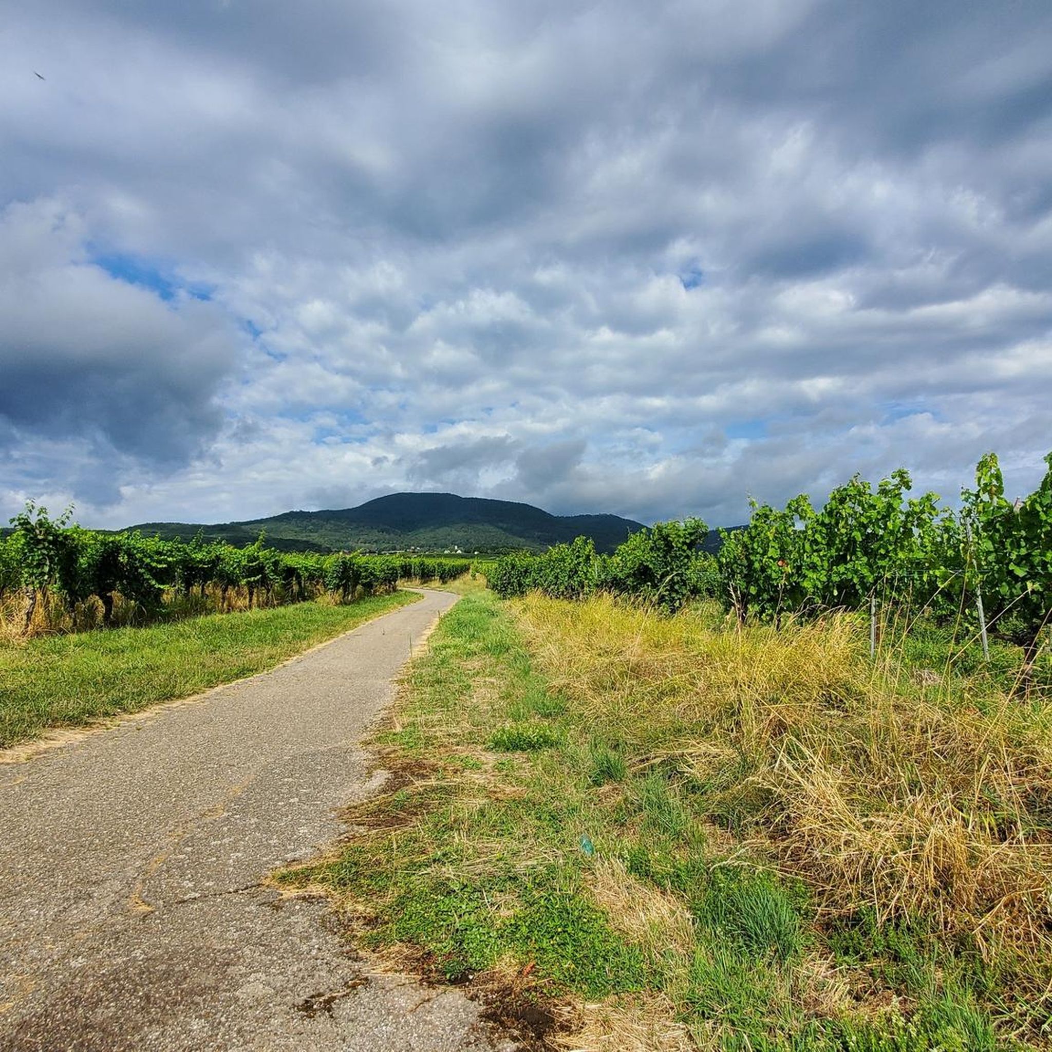
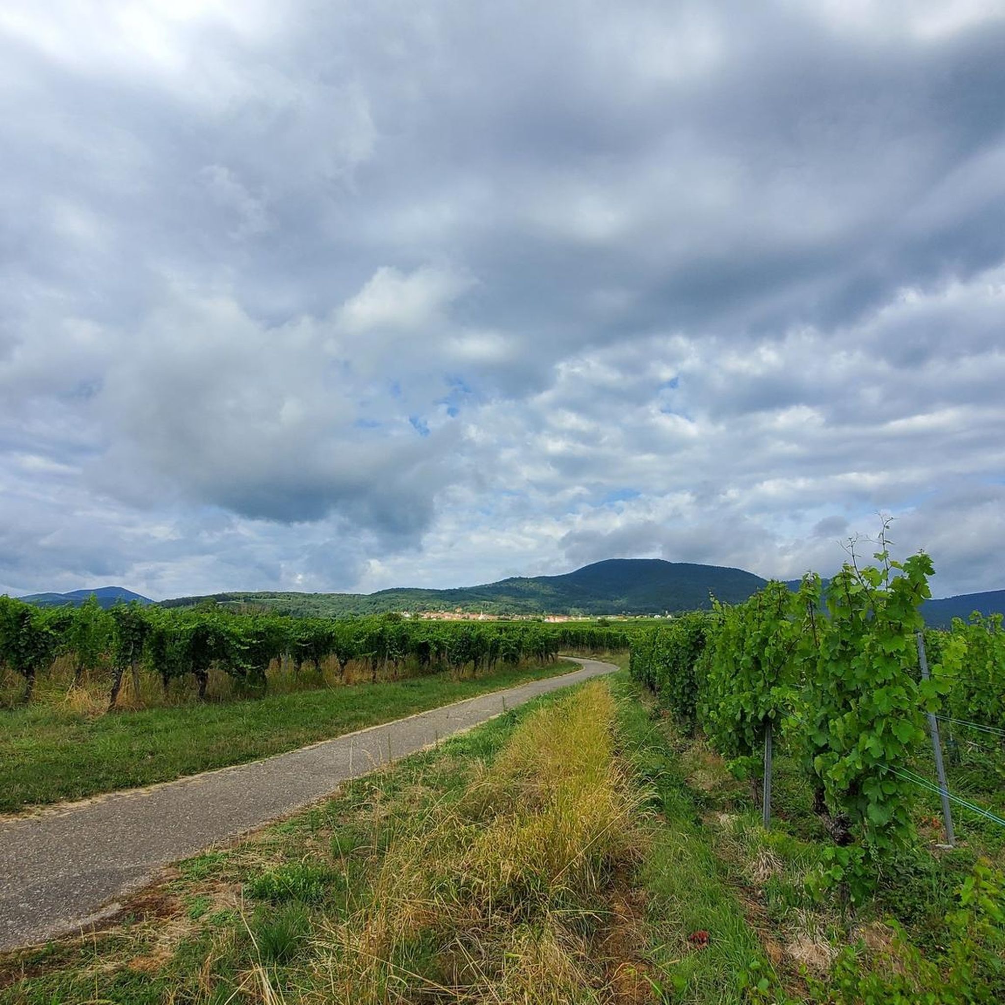
Gorgeous trail! Perfect for running or hiking. No distractions, just wonderful surroundings and a perfect trail.
0
0
Frequently Asked Questions
How many running routes are available around Burgheim?
There are over 500 running routes available around Burgheim, catering to various preferences and fitness levels. This extensive network ensures a diverse range of experiences for joggers.
What kind of terrain can I expect on jogging trails near Burgheim?
The Burgheim region offers diverse terrain for running. You can find flat paths ideal for a steady pace, especially along the Danube River. For those seeking more challenge, there are routes with moderate ascents through areas like the Urdonautal (Primeval Danube Valley) and the lower Lechtal (Lech Valley), featuring rolling hills and extensive forests.
Are there easy running routes suitable for beginners in Burgheim?
Yes, Burgheim offers several easy running routes perfect for beginners. For instance, the Running loop from Bourgheim is a moderate 5.5 km path known for its minimal elevation changes, making it ideal for a steady and comfortable run.
Are there any circular running routes in the Burgheim area?
Many of the running routes around Burgheim are circular, providing convenient starting and ending points. A popular option is the Obernai–Goxwiller Cycle Path loop from Bourgheim, which is 13.8 km long and offers gentle elevation changes.
What do other runners say about the jogging routes in Burgheim?
The running routes in Burgheim are highly rated by the komoot community, with an average score of 4.4 stars from over 200 reviews. More than 14,000 runners have explored the varied terrain, often praising the picturesque landscapes, well-maintained paths, and the diversity of options available.
Can I find running routes along the Danube River?
Yes, the Danube River is a significant feature of the Burgheim region, and you can certainly find accessible paths along its banks. These routes, often part of the Donauradweg (Danube Cycle Path), provide flat and scenic options for jogging.
Are there longer running routes for more experienced runners?
Absolutely. For experienced runners seeking longer distances, routes like the Obernai–Goxwiller Cycle Path loop from Bourgheim (13.8 km) or the Running loop from Gertwiller (13.7 km) offer varied terrain and a good challenge, typically taking over an hour to complete.
What are some points of interest or natural sights to see while running near Burgheim?
While running near Burgheim, you can encounter various natural and historical sights. The region itself is characterized by the Danube River, rolling hills, and extensive forests. You might also find natural monuments such as Saint Odile's Spring or the Rocher des Géants. Historically, the nearby Neuburg Castle and Grünau Castle are notable landmarks.
Is it possible to reach jogging trails in Burgheim using public transport?
While specific public transport connections to every trailhead are not detailed, Burgheim is a well-connected town in Bavaria. It's advisable to check local bus schedules or regional train services to nearby stations, which may offer access points to various running routes.
Are there any specific natural monuments I can visit near the running trails?
Yes, the area around Burgheim features several natural monuments that can be explored. These include Saint Odile's Spring, the Rocher des Géants, and the Verlorenes Eck Stone Circle, offering interesting sights along or near some routes.
Can I bring my dog on the jogging trails around Burgheim?
Many outdoor trails in Germany are dog-friendly, especially in natural areas like those around Burgheim. However, it's always recommended to keep your dog on a leash, especially in forested areas or near wildlife, and to respect local regulations regarding pets on trails.
Are there family-friendly jogging options in Burgheim?
Yes, the diverse terrain around Burgheim includes many routes suitable for families. The flatter paths along the Danube River or easier routes with minimal elevation, such as the 5.5 km Running loop from Bourgheim, are great choices for a family run or walk.
Most popular attractions around Burgheim

Get inspired with the komoot mobile app


Explore more
Browse the best Running Trails & Routes in other regions.
