The best running trails around Coinches
4.5
(25)
2,209
runners
187
runs
Jogging around Coinches offers a variety of running routes through a landscape characterized by rolling terrain and forested areas. The region features trails with moderate to difficult elevation changes, providing options for different fitness levels. Many paths traverse the local valleys and hills, connecting small communities and natural spots.
Best jogging routes around Coinches
- The most popular jogging route is View of Ban de Laveline – Ban-de-Laveline loop from Ban-de-Laveline, a 7.6 miles (12.3 km) trail that takes 1 hour 28 minutes to complete. This difficult route features significant elevation gain and offers expansive views.
- Another top favourite among local runners is Running loop from Neuvillers-sur-Fave, a moderate 6.4 miles (10.3 km) path. This route winds through varied landscapes with moderate elevation changes.
- Local runners also love the Ban-de-Laveline loop from Ban-de-Laveline, a 7.6 miles (12.2 km) trail leading through forested areas, often completed in about 1 hour 26 minutes.
- Jogging around Coinches is defined by forested paths, rolling hills, and valley routes. The network offers options for different ability levels, from moderate loops to more challenging trails with notable ascents.
- The routes in Coinches are highly rated by the komoot community with an average score of 4.8 stars from more than 10 reviews. More than 2000 runners have used komoot to explore Coinches's varied terrain.
Last updated: August 1, 2026
24
runners
12.3km
01:29
380m
380m
Hard run. Very good fitness required. Mostly accessible paths. Some sure footedness required.
23
runners
17.4km
02:20
700m
700m
Hard run. Very good fitness required. Mostly accessible paths. Some sure footedness required.

Sign up for free
8
runners
10.3km
01:05
110m
110m
Moderate run. Good fitness required. Mostly paved surfaces. Suitable for all skill levels.
6
runners
25.2km
02:54
500m
500m
Hard run. Very good fitness required. Mostly paved surfaces. Suitable for all skill levels.
5
runners
12.2km
01:27
380m
380m
Hard run. Very good fitness required. Mostly accessible paths. Some sure footedness required.
Get access to more routes and recommendations from other explorers.
Sign up for free
Already have an account?
Our route recommendations are based on thousands of hikes, rides, and runs completed by other people on komoot.
Start today with a free account
Your next adventure awaits.
Login or Signup
Tips from the Community

Nestled in a valley between wooded hills, this peaceful village is a gateway to the Vosges. During the First World War, it was close to the front, which is still visible in the area via bunkers, trenches and memorials. Today, Ban-de-Laveline is a popular base for hikers and cyclists, with routes to the Col d’Hermanpaire, the Spitzemberg and the nature reserve around the Tête de Raves. In the village itself, you will find a sober Église Saint-Laurent, a classic Monument aux Morts, and a peaceful atmosphere that invites you to explore.
9
0

interesting hike, bunker area, no difficulty
0
0

A small, enchanting artificial waterfall. It's accompanied by a gazebo, a perfect place to take a break during a hike. Below, there's an old fish farm. The whole area dates back to the early 20th century, a time when there was a desire to encourage outdoor activities in nature. However, the rock is believed to be a Celtic remnant, perhaps even related to Druidic practices.
2
0

Small artificial waterfall with a pond and covered picnic area.
1
1

The Quiche Lorraine is great. Last visited: Saales, Hohneck 2019_07_12 Vosges Tour 2019 E03 https://www.komoot.de/tour/78472517
1
1

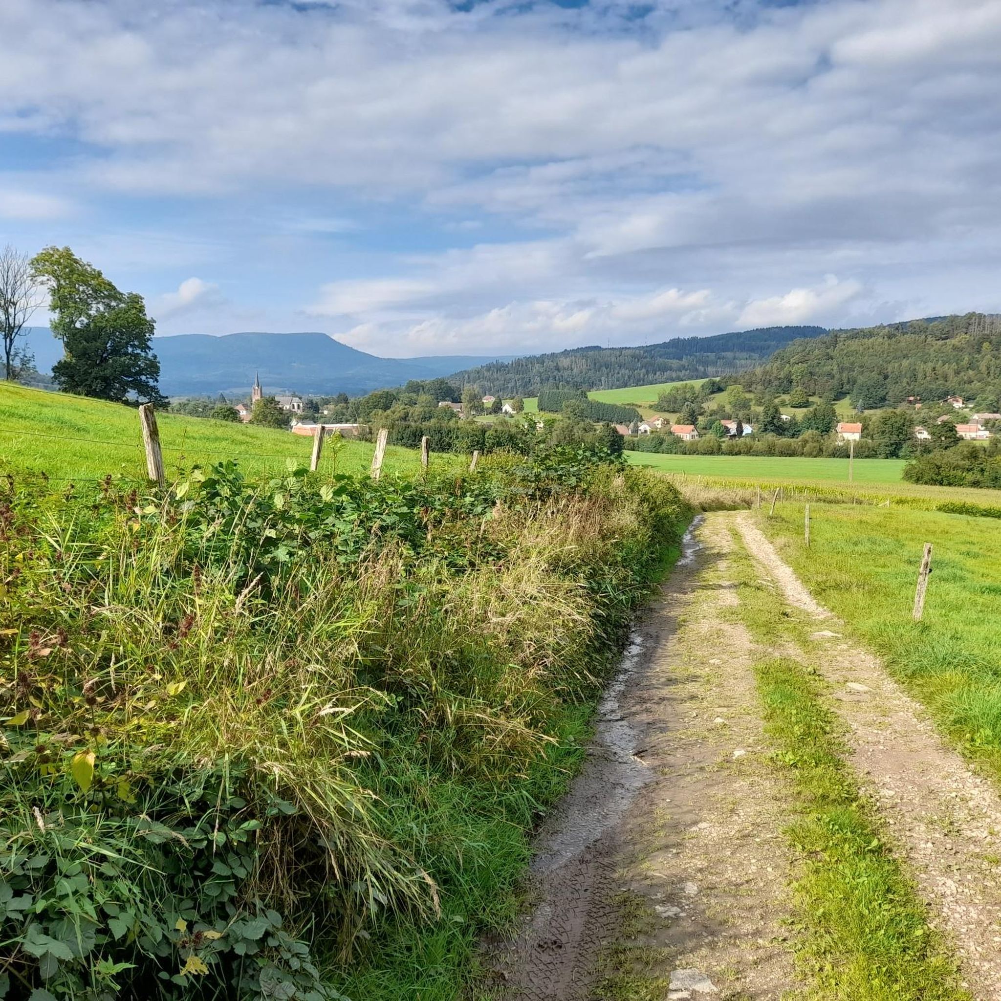
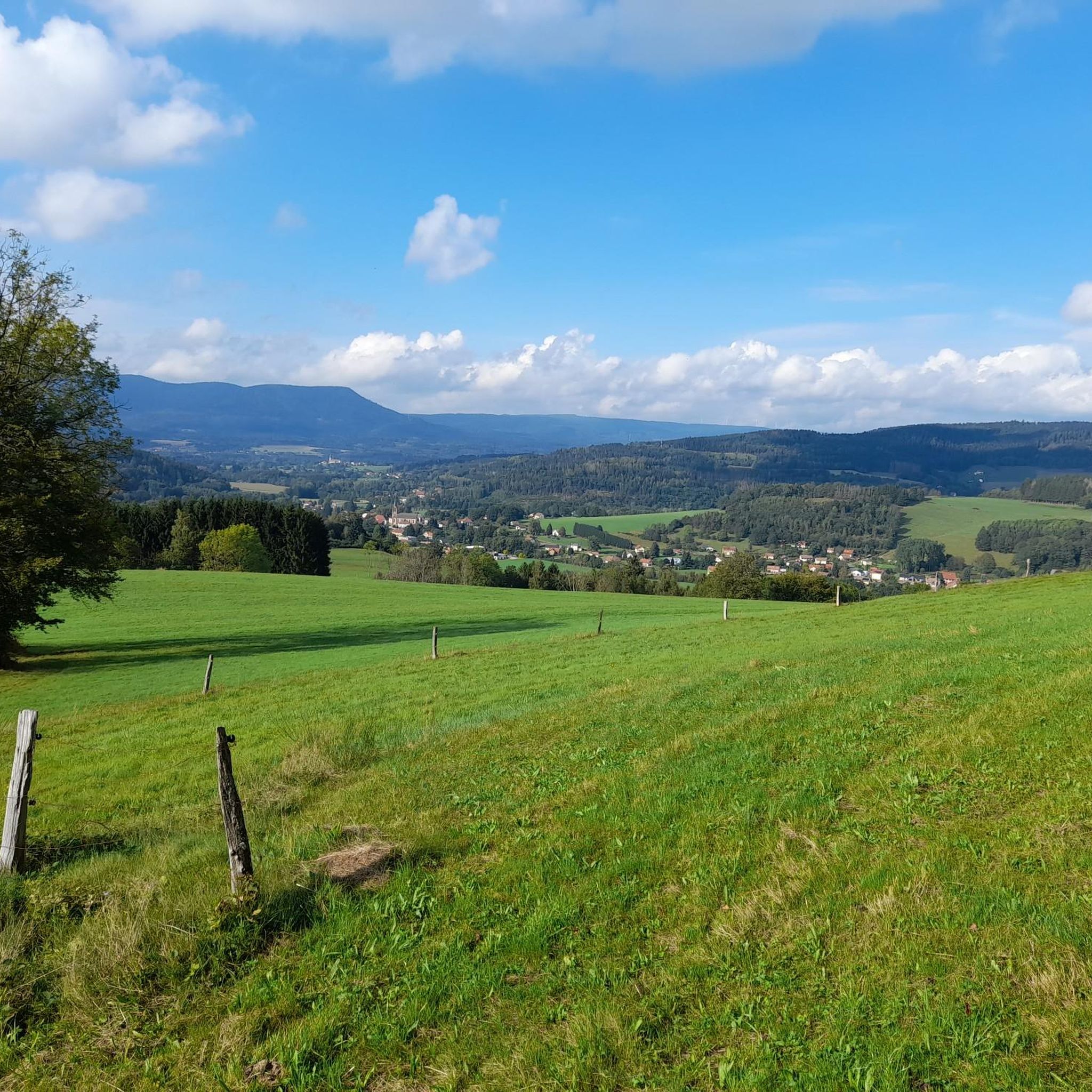
After crossing the meadows, and before entering the forest, a magnificent view of the valley and Ban de Laveline, with the occasional presence of game.
0
0
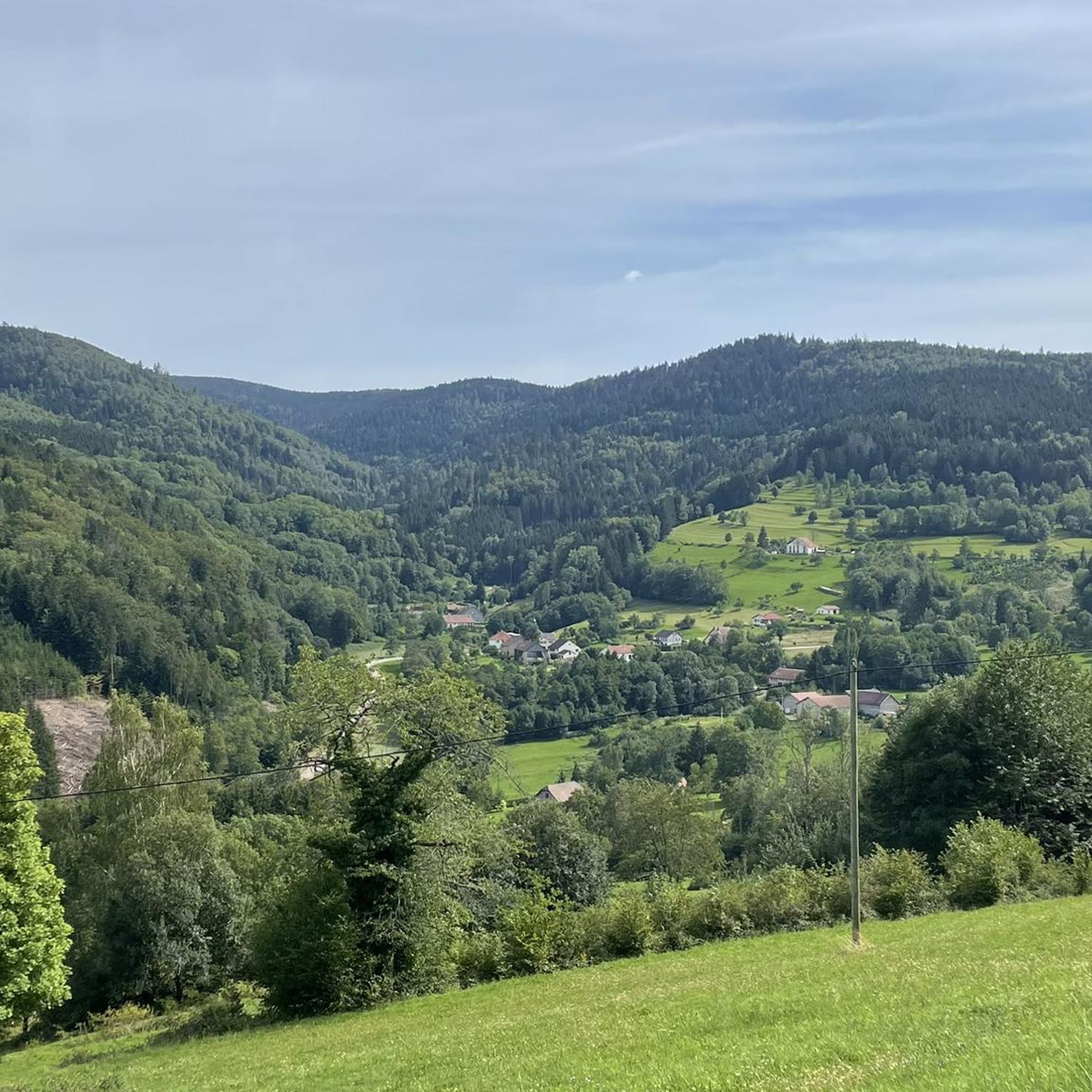
Charming, nicely restored Vosges hamlet.
0
0
Frequently Asked Questions
How many running routes are available in Coinches?
There are over 170 running routes available around Coinches, offering a wide variety of options for different fitness levels and preferences. You'll find everything from moderate loops to more challenging trails with significant ascents.
Are there any easy jogging routes suitable for beginners in Coinches?
Yes, Coinches offers a few easier running paths. While many routes feature moderate to difficult elevation changes, there are 4 routes specifically categorized as easy. These are generally shorter with less demanding ascents, perfect for those new to running or looking for a lighter workout.
What kind of terrain can I expect on the jogging trails around Coinches?
The jogging trails in Coinches are characterized by rolling terrain and forested areas. You'll encounter paths traversing local valleys and hills, with a mix of moderate to difficult elevation changes. Expect natural surfaces, often through woodlands and connecting small communities.
What do other runners enjoy most about the trails in Coinches?
The running routes in Coinches are highly rated by the komoot community, with an average score of 4.8 stars from more than 10 reviews. Runners often praise the varied terrain, the beautiful forested paths, and the challenging yet rewarding ascents that offer expansive views.
Are there any circular running routes in Coinches?
Yes, many of the running routes in Coinches are circular, allowing you to start and finish in the same location. For example, the Running loop from Neuvillers-sur-Fave is a popular moderate circular option, and the Étang de Benalbois loop from Ban-de-Laveline offers a shorter, moderate circular experience.
Can I find routes that offer good views or interesting landmarks?
Absolutely! Many routes provide scenic vistas. For instance, the difficult View of Ban de Laveline – Ban-de-Laveline loop from Ban-de-Laveline offers expansive views. You can also explore nearby attractions like the Dry Fir Rock or La Roche Saint-Martin and View of Saint-Dié, which are viewpoints in the region.
Are there any specific attractions or natural monuments to look out for while running?
While running in the Coinches area, you might encounter several natural and historical points of interest. Notable highlights include the La Bure Celtic Camp, the Liberty's tree, and various viewpoints like the Roche des Abris. These can add an extra dimension to your run.
What is the typical duration for a running route in Coinches?
Running durations vary significantly depending on the route's length and difficulty. For example, a moderate route like the Running loop from Raves is typically completed in under an hour, while more challenging routes such as the Ban-de-Laveline loop from Ban-de-Laveline can take around 1 hour 26 minutes.
Are the running trails in Coinches suitable for families?
While many routes in Coinches feature moderate to difficult elevation changes, some shorter, less strenuous options might be suitable for families with older children who are accustomed to running. It's best to check the difficulty and elevation profile of individual routes to ensure they match your family's fitness level.
Are there any running routes that pass by mountain passes?
Yes, the region around Coinches is known for its mountain passes. While specific running routes might not directly traverse them, you'll find passes like Bagenelles Pass and Col du Pré de Raves in the vicinity, offering challenging terrain and potentially connecting trails for experienced runners.
What is the best time of year for running in Coinches?
The best time for running in Coinches is typically during spring, summer, and early autumn when the weather is milder and the trails are generally dry. The forested areas provide good shade in warmer months, and the autumn colors can be particularly beautiful. Winter running is possible but may require appropriate gear for colder temperatures and potentially icy or snowy conditions.
Are there any less-known or 'hidden gem' running trails in Coinches?
With over 170 routes, Coinches certainly has many trails beyond the most popular ones. Exploring the less-frequented paths often leads to quieter experiences and new discoveries within the region's diverse landscape of valleys, hills, and forests. Komoot's map allows you to discover these less-traveled options.
Most popular attractions around Coinches

Get inspired with the komoot mobile app


Explore more
Browse the best Running Trails & Routes in other regions.
