The best road cycling routes around La Grande-Fosse
4.2
(105)
1,442
riders
32
rides
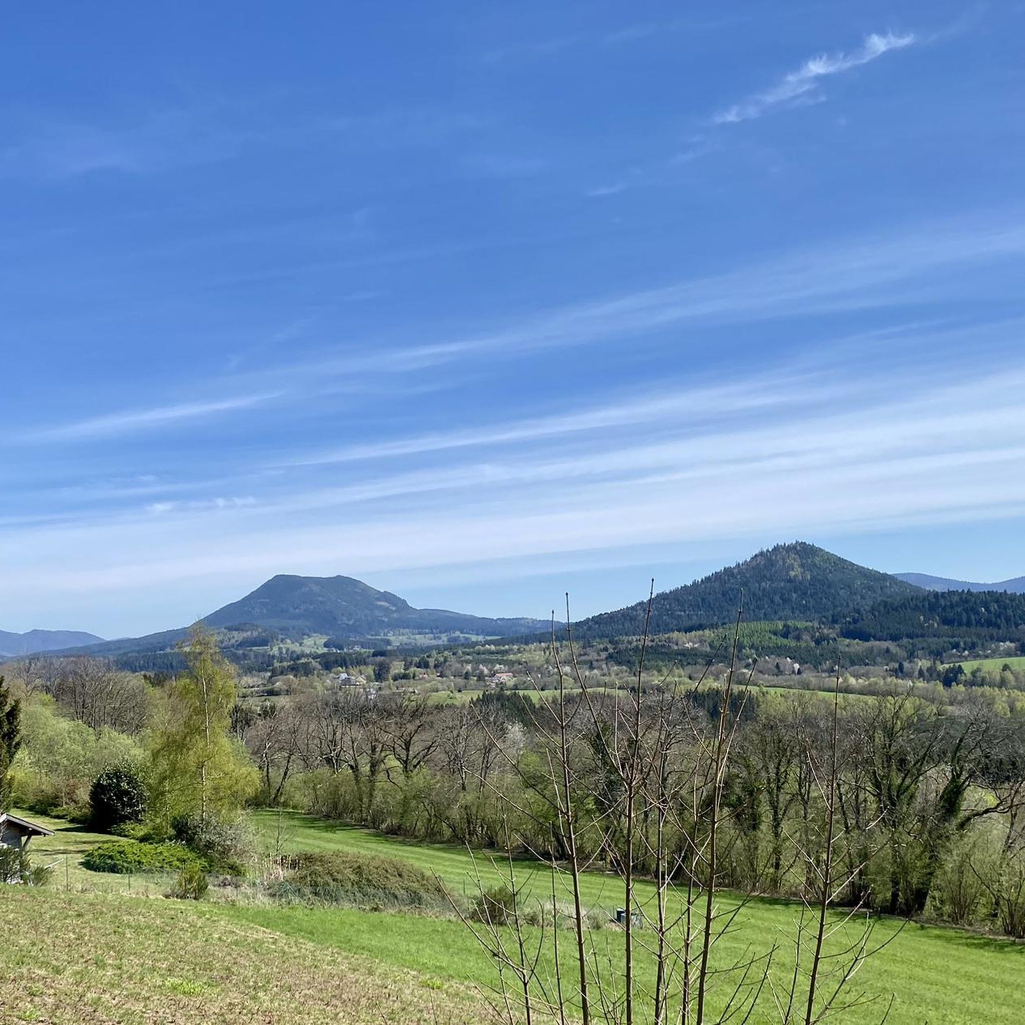
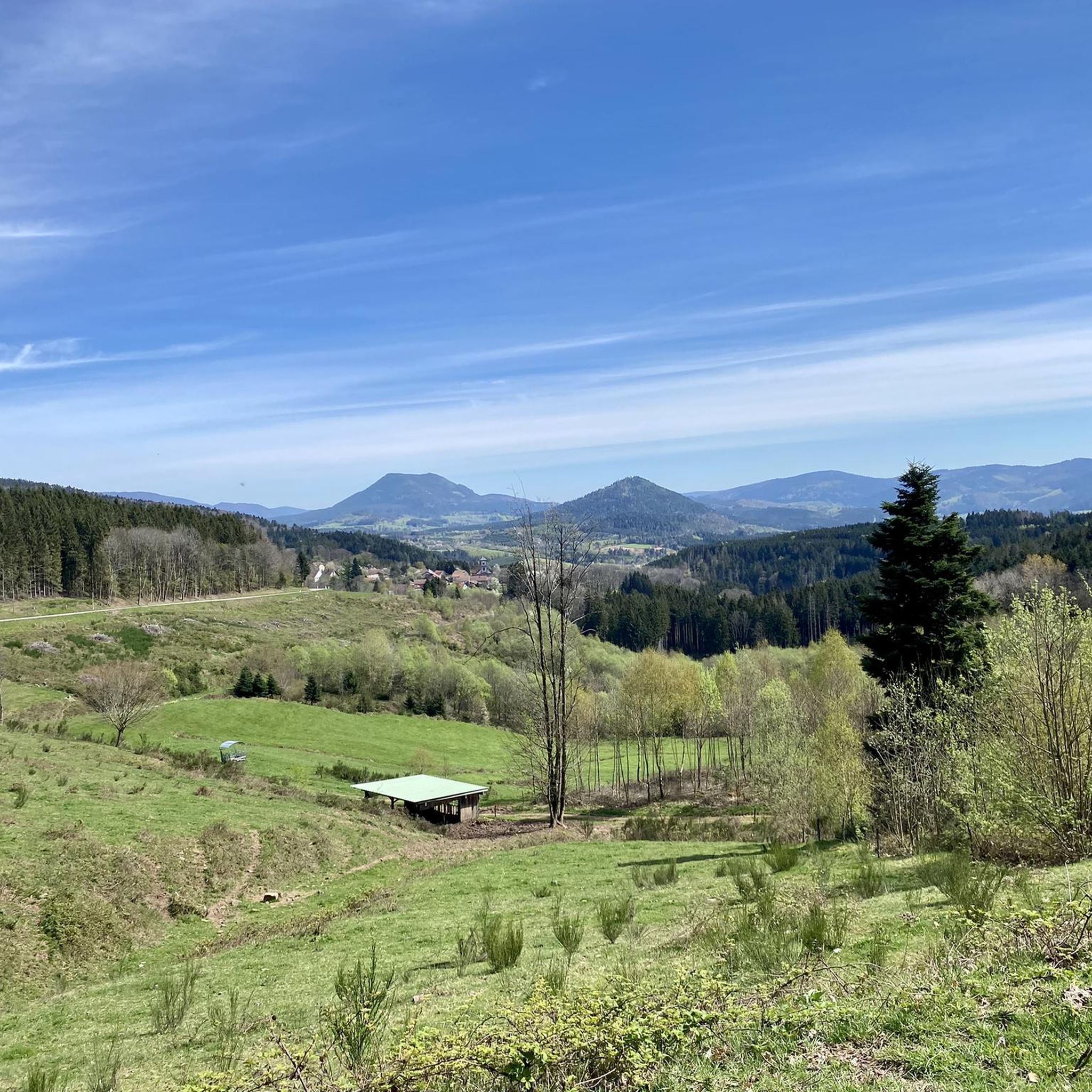
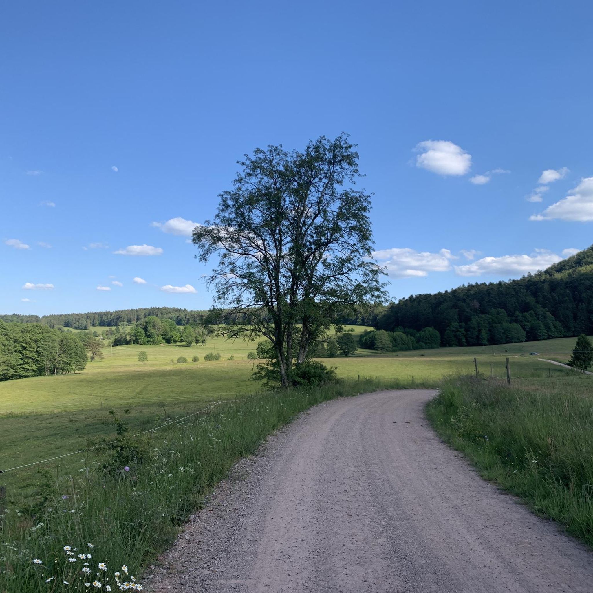
Road cycling routes around La Grande-Fosse are situated within the Vosges Mountains, offering a diverse landscape for cyclists. The region is characterized by dense forests, open mountain pastures, and varied terrain, ranging from gentle slopes to challenging ascents. Cyclists can expect well-maintained roads and panoramic views across the mountainous Vosges department.
Best road cycling routes around La Grande-Fosse
- The most popular road cycling route is Col d‘Urbeis — loop from Saâles, a 30.9 miles (49.8 km) difficult trail that takes 2 hours 35 minutes to complete. This route features significant elevation gain through the challenging terrain of the Vosges Mountains.
- Another top favourite among local road cyclists is Champ du Feu – Col de Steige loop from Saâles, a moderate 26.8 miles (43.1 km) path. This route offers panoramic views and winds through dense forests in the picturesque Champ du Feu area.
- Local road cyclists also love the Forest Road Through the Vosges – Cuckoo Pond loop from Bourg-Bruche, a 34.5 miles (55.6 km) trail leading through dense Vosges forests and mountain scenery, often completed in about 3 hours 5 minutes.
- Road cycling around La Grande-Fosse is defined by challenging climbs, dense forests, and panoramic mountain pastures. The network offers options for various ability levels, from moderate paths to difficult ascents.
- The routes in La Grande-Fosse are highly rated by the komoot community with an average score of 4.5 stars from more than 40 reviews. More than 1,000 road cyclists have used komoot to explore La Grande-Fosse's varied terrain.
Last updated: August 1, 2026
19
riders
49.8km
02:36
910m
910m
Hard road ride. Very good fitness required. Mostly well-paved surfaces and easy to ride.
3.9
(30)
161
riders
49.3km
02:16
450m
450m
Moderate road ride. Good fitness required. Mostly well-paved surfaces and easy to ride.

Sign up for free
4.7
(3)
50
riders
43.1km
02:23
880m
880m
Moderate road ride. Good fitness required. Some segments of this route may be unpaved and difficult to ride.
5.0
(5)
53
riders
58.7km
03:30
920m
920m
Hard road ride. Very good fitness required. Some segments of this route may be unpaved and difficult to ride.
35
riders
104km
05:58
2,280m
2,280m
Hard road ride. Very good fitness required. Mostly well-paved surfaces and easy to ride.
Get access to more routes and recommendations from other explorers.
Sign up for free
Already have an account?
Our route recommendations are based on thousands of hikes, rides, and runs completed by other people on komoot.
Start today with a free account
Your next adventure awaits.
Login or Signup

Tips from the Community

Beautiful small town with a great village square, where there is always a party on Wednesdays in the summer. The cafe l´etang des Pains is highly recommended. You can have breakfast and enjoy coffee and cake there, or buy a packed lunch for hikers... very delicious!
0
0

If you take the climb from Mandray village - and follow the - rusty - sign to the Col - that is different kind of cookie! 2, 9 km , averages at 11% with peaks up to 17%, and tough road conditions. Descend to Fraize is a blast!
0
0

The Champ du Feu, at 1099 meters, is the highest mountain in the Bas-Rhin department in the Vosges in Alsace. It is located between the towns of Belmont and Le Hohwald and consists of a vast plateau with forests, meadows, and moorlands. The area is a popular nature and recreational area. In summer, it is mainly used for hiking, mountain biking, and nature observation. In winter, there is a small ski area with cross-country trails and simple slopes for winter sports. From the Champ du Feu, the La Serva stream originates, which later forms the Cascade de la Serva. In clear weather, the summit offers wide views over the Vosges, the Rhine plain, and even the Black Forest. The area is particularly known for its quiet nature, high moors, sunrises and starry skies, as well as well-marked hiking trails.
0
0


Magnificent pass to climb from different slopes (Breitenbach, Steige, Vallée de la Bruche, Andlau). It is also a crossing point towards the Champ du feu, the Hohwald, the Mont Ste Odile.
0
0
A classic Vosges pass, quite accessible and magnificent!
0
0

The Col de Fouchy is a beautiful drive. The narrow road can get quite narrow, especially on the descent to Rombach-le-Franc and Liepvre. You should definitely plan some safety precautions on the descent, as a large truck can suddenly block a tight left-hand bend. While traffic is sometimes light, it can get quite hectic, especially on long weekends and holidays, as many day-trippers and motorcycle groups cross the pass. Unfortunately, dangerous situations often arise due to excessive speed and overhang.
0
0
Frequently Asked Questions
How many road cycling routes are available around La Grande-Fosse, and what are their difficulty levels?
There are over 35 road cycling routes around La Grande-Fosse. These routes offer a range of difficulties, with 4 easy, 23 moderate, and 9 difficult options, catering to various skill levels.
What kind of scenery can I expect on road cycling routes around La Grande-Fosse?
Road cycling around La Grande-Fosse offers diverse scenery within the Vosges Mountains. You'll experience dense pine forests, open mountain pastures (chaumes), and stunning panoramic views. The landscape alternates between lush meadows and mountainous terrain, with well-maintained roads winding through this picturesque region.
Are there challenging climbs for experienced road cyclists in the La Grande-Fosse area?
Yes, the Vosges Mountains around La Grande-Fosse are known for challenging climbs and mythical passes. Routes like the Col d‘Urbeis — loop from Saâles feature significant elevation gain. The broader Vosges region includes iconic climbs such as Col de la Schlucht, Grand Ballon, and Hohneck, offering substantial ascents and rewarding views.
Can I find easy or beginner-friendly road cycling routes near La Grande-Fosse?
Yes, there are several easy road cycling routes around La Grande-Fosse. An example is the Liberty Tower – Fave Valley loop from Provenchères-sur-Fave, which offers a more gentle ride with less elevation, perfect for beginners or those seeking a relaxed tour.
Are there any notable landmarks or attractions to see along the road cycling routes?
While cycling, you can explore various points of interest. Nearby attractions include historical sites like the Trail of the Hamlets Fallen for France – La Fontenelle and the La Bure Celtic Camp. Natural features such as the Dry Fir Rock and the Roche des Abris also offer scenic stops.
What is the best time of year for road cycling in La Grande-Fosse?
The best time for road cycling in La Grande-Fosse, located in the Vosges Mountains, is typically from late spring to early autumn (May to October). During these months, the weather is generally milder, and the mountain passes are clear of snow, providing optimal conditions for exploring the varied terrain and enjoying the panoramic views.
Are there circular road cycling routes available around La Grande-Fosse?
Yes, many of the road cycling routes around La Grande-Fosse are designed as loops, allowing you to start and finish at the same point. Examples include the Champ du Feu – Col de Steige loop from Saâles and the Forest Road Through the Vosges – Cuckoo Pond loop from Bourg-Bruche.
What do other road cyclists enjoy most about road cycling in La Grande-Fosse?
The road cycling routes in La Grande-Fosse are highly rated by the komoot community, with an average score of 4.5 stars from over 40 reviews. Cyclists often praise the challenging climbs, the dense forests, and the panoramic mountain pastures that define the region's diverse terrain.
Are there any iconic mountain passes accessible from La Grande-Fosse for road cyclists?
Yes, the Vosges Mountains are home to several iconic passes. While some are a bit further afield, the region provides access to well-known climbs such as the Col de la Schlucht, which has been featured in the Tour de France. These passes offer significant elevation gains and stunning views, making them a highlight for many road cyclists.
Can I find routes that combine challenging climbs with scenic views?
Absolutely. The region is perfect for this combination. Routes like the Salcée Pass – Haut de Ribeauvillé Pass loop from Bourg-Bruche offer substantial elevation gain alongside breathtaking vistas of the Vosges landscape, including dense forests and open mountain pastures.
Is the Route des Crêtes accessible for road cyclists near La Grande-Fosse?
The historic Route des Crêtes, a mythical route stretching almost 90 kilometers through peaks and valleys, is a crucial part of many cycling routes in the high Vosges. While not directly starting in La Grande-Fosse, its proximity means you can easily incorporate sections of this scenic road into longer rides, offering an immersive experience in preserved nature and panoramic views.
Most popular routes around La Grande-Fosse
Most popular attractions around La Grande-Fosse

Get inspired with the komoot mobile app


Explore more
Browse the best Road cycling routes in other regions.
