The best walks and hikes around Saint-Stail
4.5
(1390)
6,561
hikers
248
hikes
Hiking around Saint-Stail offers diverse experiences within the Vosges mountains, characterized by deep forests, green riverbanks, and elevated terrain. The region features prominent natural attractions such as Mont Climont and the Julius Tower, providing panoramic views. Trails range from accessible paths to more challenging routes with significant elevation gains. This area is a key part of the Vosges department, known for its varied landscapes and extensive trail networks.
Best hiking trails around Saint-Stail
- The most popular hiking route is Julius…
Last updated: October 24, 2026
4.6
(11)
59
hikers
20.4km
06:22
660m
660m
Hard hike. Very good fitness required. Mostly walkable paths. Sure-footedness required.
4.2
(11)
43
hikers
12.5km
03:42
360m
360m
Moderate hike. Good fitness required. Easily walkable paths.

4.1
(10)
24
hikers
9.24km
02:45
250m
250m
Moderate hike. Good fitness required. Easily walkable paths.
4.7
(3)
20
hikers
17.8km
05:20
560m
560m
Hard hike. Very good fitness required. Easily walkable paths.
4.0
(3)
14
hikers
14.1km
04:09
380m
370m
Moderate hike. Good fitness required. Easily walkable paths.
Get access to more routes and recommendations from other explorers.
Already have an account?
Our route recommendations are based on thousands of hikes, rides, and runs completed by other people on komoot.
Start today with a free account
Your next adventure awaits.
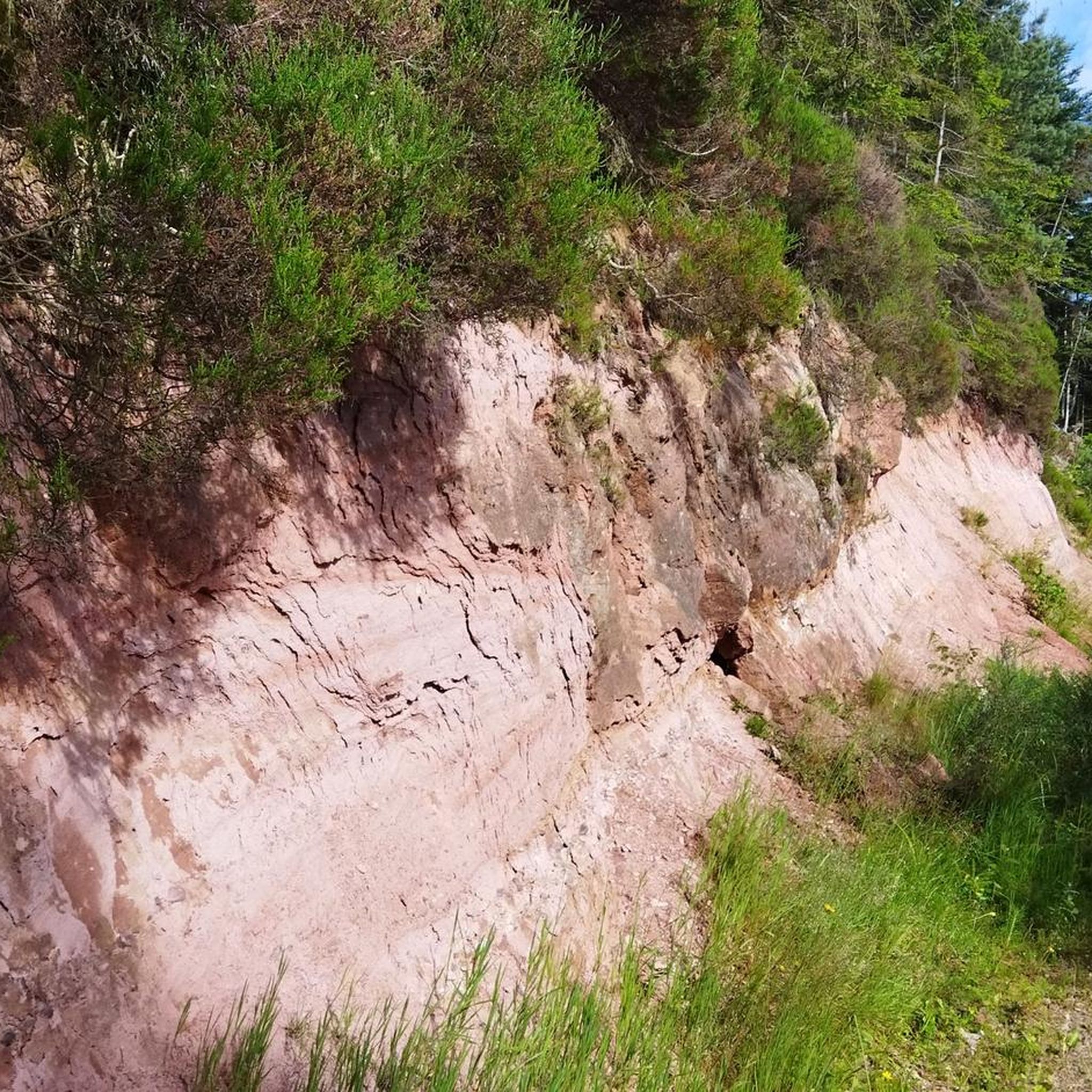
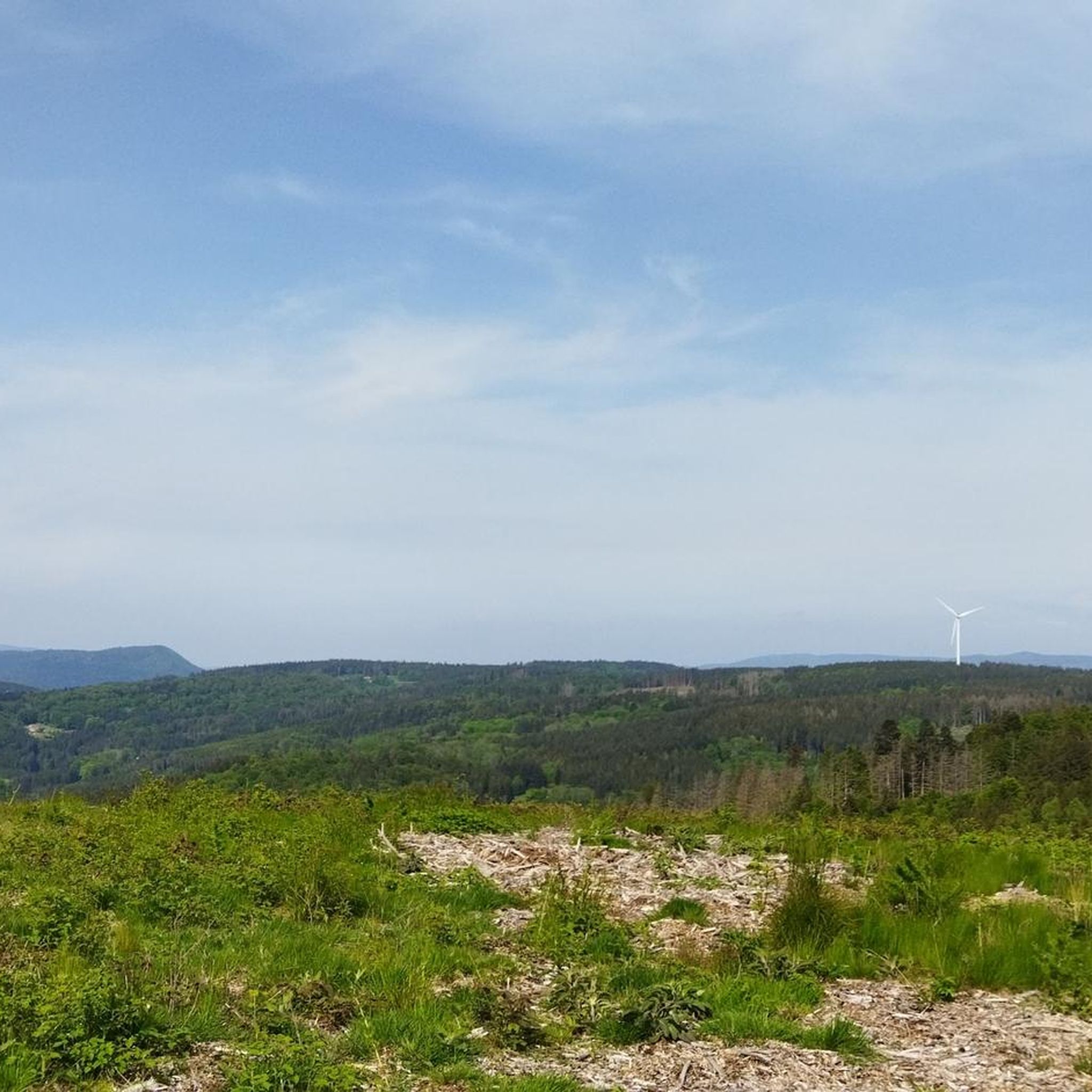
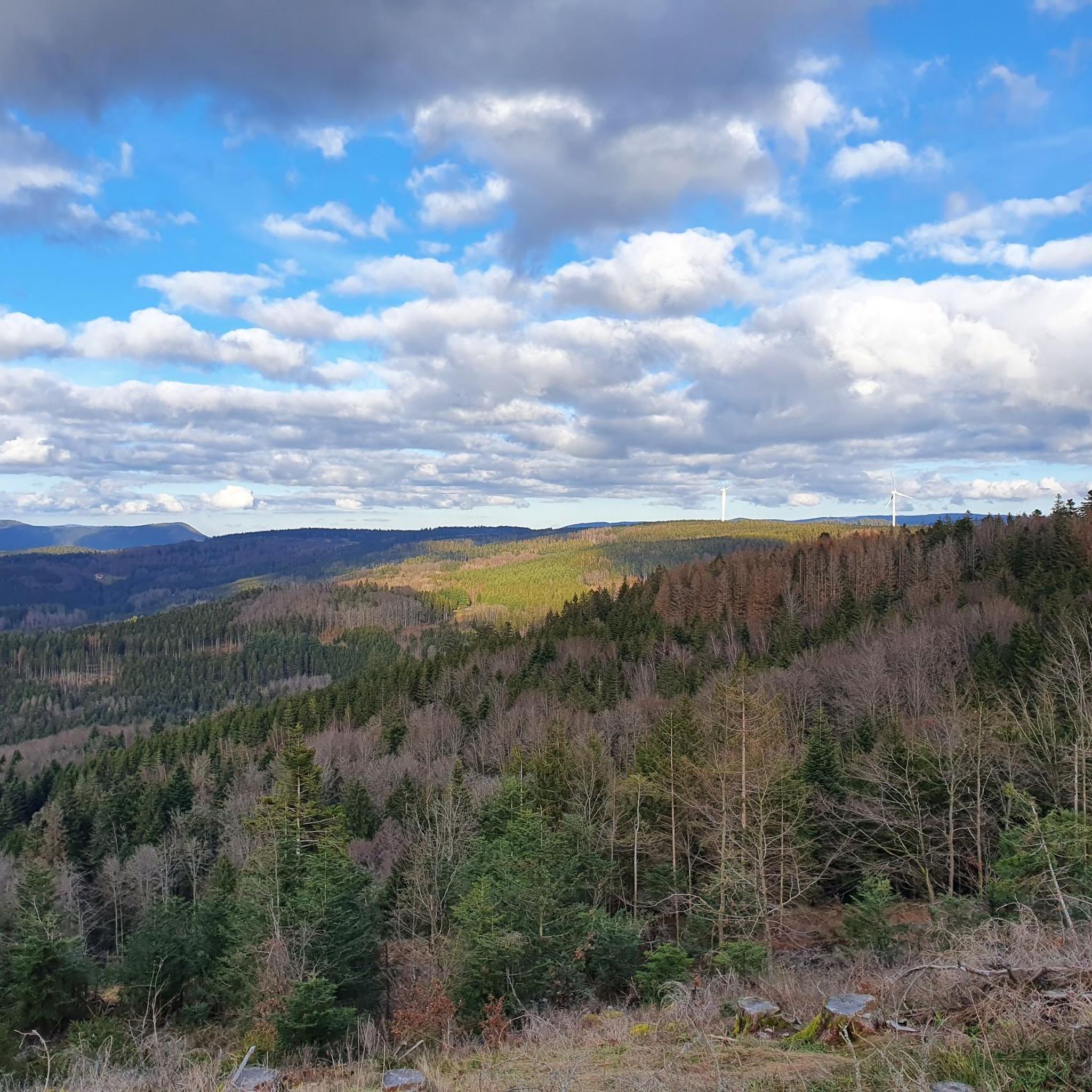
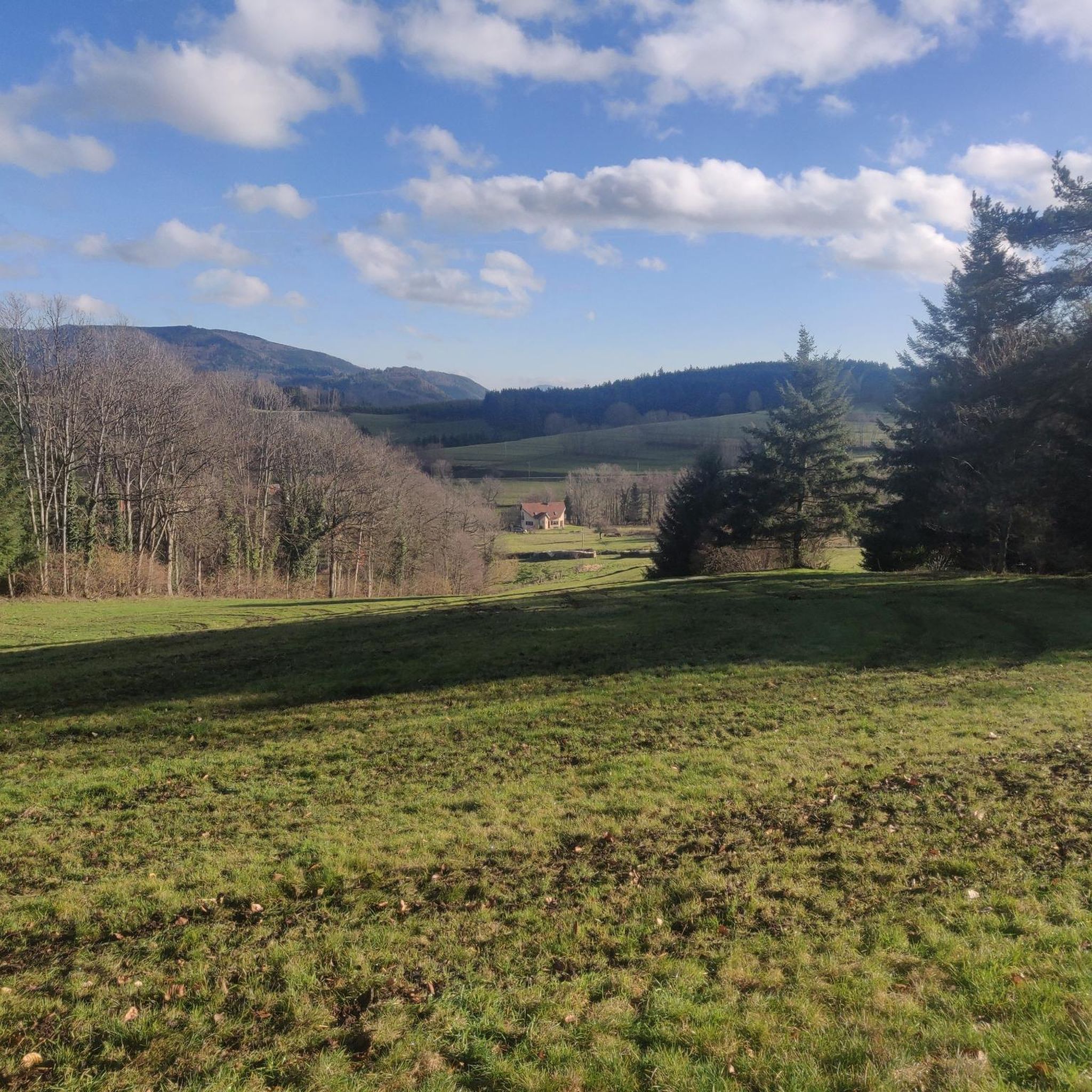

Tips from the Community

Very beautiful, calm and relatively accessible trail.
0
0

In good weather, the surface of the pond turns into a mirror.
4
0
As a souvenir of a difficult period during which some people put themselves at the service of others.
4
0
A refuge at the summit...
4
0

The ascent on a beautiful path with blueberries 🫐 and great views is stony and partly steep, but sensationally beautiful.
0
0

Beautiful route, pleasant but lots of bikers...
0
0
Frequently Asked Questions
How many hiking trails are available around Saint-Stail?
There are over 250 hiking routes around Saint-Stail, offering a wide variety of experiences within the Vosges mountains. These trails cater to different skill levels, from easy walks to challenging multi-hour treks.
Are there family-friendly hiking options in Saint-Stail?
Yes, Saint-Stail offers several family-friendly hiking options. Many trails are categorized as easy or moderate, suitable for various ages and fitness levels. For example, the area around the Park – Children's Rock loop from Saâles is known for its interesting rock formations and forested paths, making it an engaging choice for families.
Can I bring my dog on the hiking trails in Saint-Stail?
Most hiking trails in the Saint-Stail area are dog-friendly, allowing you to explore the Vosges mountains with your canine companion. However, it's always recommended to keep your dog on a leash, especially in protected natural areas or near livestock, and to check local regulations for specific routes.
What kind of natural landmarks or viewpoints can I expect to see?
The Saint-Stail region is rich in natural landmarks and offers stunning viewpoints. You can explore sites like the Col de la Perheux, the Dry Fir Rock viewpoint, and the Roche des Abris. The Julius Tower (Tour du Climont) also provides panoramic views from Mont Climont.
Are there circular hiking routes available in Saint-Stail?
Yes, many of the hiking routes around Saint-Stail are circular, allowing you to start and end at the same point. Popular loop trails include the Climont Tour – Julius Tower (Tour du Climont) loop from Bourg-Bruche, which takes you through varied forest paths, and the Park – Roche des Fées Viewpoint loop from Saâles.
What is the best time of year to go hiking in Saint-Stail?
The Vosges mountains around Saint-Stail offer beautiful hiking experiences throughout the year. Spring and autumn provide vibrant colors and pleasant temperatures, while summer is ideal for longer treks. Winter hiking is also possible, with the landscape transforming into a snowy wonderland, though some higher elevation trails may require appropriate gear and conditions checks.
What are the typical durations for hikes in this area?
Hikes around Saint-Stail vary significantly in duration. You can find shorter loops that take under two hours, such as some of the easy trails. More challenging routes, like the Julius Tower (Tour du Climont) – View from Mont Climont loop from Saâles, can take over six hours to complete, offering options for both quick outings and full-day adventures.
What is the difficulty level of hiking trails in Saint-Stail?
The hiking trails in Saint-Stail range from easy to difficult. Approximately 80 routes are considered easy, 143 are moderate, and 27 are difficult. This variety ensures that hikers of all experience levels can find suitable paths, from gentle forest walks to strenuous climbs with significant elevation gains.
Are there any notable mountain passes to explore near Saint-Stail?
Yes, the region features several prominent mountain passes that are popular with hikers. You can explore passes such as Col de Steige, Salcée Pass, and Hantz Pass. These passes often serve as starting points or scenic points along longer routes, like the Hantz Pass – The Hanging Cat loop from Col du Hantz.
What do other hikers say about the trails in Saint-Stail?
The hiking trails in Saint-Stail are highly regarded by the komoot community, with an average rating of 4.5 stars from over 1000 reviews. Hikers often praise the diverse landscapes, the well-maintained paths through deep forests, and the rewarding panoramic views from elevated points like Mont Climont and the Julius Tower.
Is parking available at the trailheads around Saint-Stail?
While specific parking details vary by trailhead, many popular hiking routes around Saint-Stail, especially those starting from villages like Saâles or Bourg-Bruche, typically offer designated parking areas for hikers. It's advisable to check the route details on komoot for specific parking information for your chosen trail.
Most popular routes around Saint-Stail
Most popular attractions around Saint-Stail

Get inspired with the komoot mobile app


Explore more
Browse the best Hikes in other regions.
