The best MTB trails around Saint-Quentin-Sur-Isère
4.3
(755)
4,129
riders
250
rides
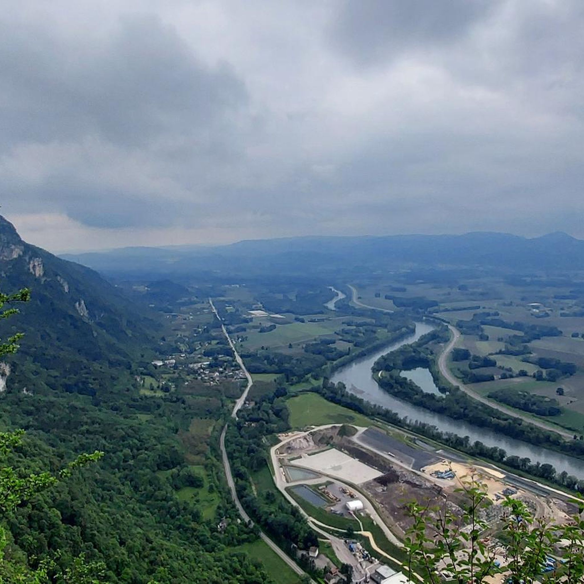
Mountain biking around Saint-Quentin-Sur-Isère offers access to diverse pre-Alpine terrain, situated near the Vercors Massif and Chartreuse Regional Nature Park. The region features deep valleys, limestone cliffs, and extensive forests, providing varied environments for mountain biking. Trails often follow the Isère River valley or ascend into the surrounding hills. This landscape provides routes with significant elevation changes and panoramic views of multiple mountain ranges.
Best mountain bike trails around Saint-Quentin-Sur-Isère
- The most popular mountain bike trail is Refuge des Feneys…
Last updated: October 4, 2026
5.0
(5)
41
riders
47.9km
04:39
1,400m
1,400m
Hard mountain bike ride. Very good fitness required. Advanced riding skills necessary. Some portions of the route may require you to push your bike.
4.0
(6)
21
riders
30.2km
03:23
1,080m
1,080m
Hard mountain bike ride. Very good fitness required. Advanced riding skills necessary. Some portions of the route may require you to push your bike.

5.0
(1)
18
riders
18.2km
02:20
930m
930m
Hard mountain bike ride. Very good fitness required. Advanced riding skills necessary. Some portions of the route may require you to push your bike.
4.5
(4)
19
riders
46.3km
02:20
120m
120m
Moderate mountain bike ride. Good fitness required. Suitable for all skill levels.
3.5
(2)
10
riders
17.3km
01:58
680m
680m
Hard mountain bike ride. Good fitness required. Advanced riding skills necessary. Some portions of the route may require you to push your bike.
Get access to more routes and recommendations from other explorers.
Already have an account?
Our route recommendations are based on thousands of hikes, rides, and runs completed by other people on komoot.
Start today with a free account
Your next adventure awaits.

Tips from the Community


A laid out flat, with occasional views of the Isère and the ver c ors, but frankly a bit boring and frankly along the highway. The crossed rest area looked nice but was crowded with people. The charging and repair station was out of order.
0
0

La Véloroute de l'Isère, officially integrated into the national route La Belle Via (referenced under number V63), is a cycling route of over 200 kilometers that runs along the Isère river. It connects the foothills of Savoie to the Drôme (connection with ViaRhôna), by crossing the entire department of Isère and its capital, Grenoble.
0
0
The La Véloroute de l'Isère, officially integrated into the national route La Belle Via (referenced under number V63), is a cycling route of over 200 kilometers that runs along the Isère river. It connects the foothills of Savoie to the Drôme (connection with ViaRhôna), by crossing the entire department of Isère and its capital, Grenoble.
0
0
The Véloroute de l'Isère, officially integrated into the national route La Belle Via (referenced under number V63), is a cycling route of over 200 kilometers that runs along the Isère river. It connects the foothills of Savoie to the Drôme (connection with ViaRhôna), by crossing the entire department of Isère and its capital, Grenoble.
0
0
The Véloroute de l'Isère, officially integrated into the national La Belle Via route (referenced under number V63), is a cycling route of over 200 kilometers that runs along the Isère river. It connects the foothills of Savoie to the Drôme (connection with ViaRhôna), crossing the entire Isère department and its capital, Grenoble.
0
0
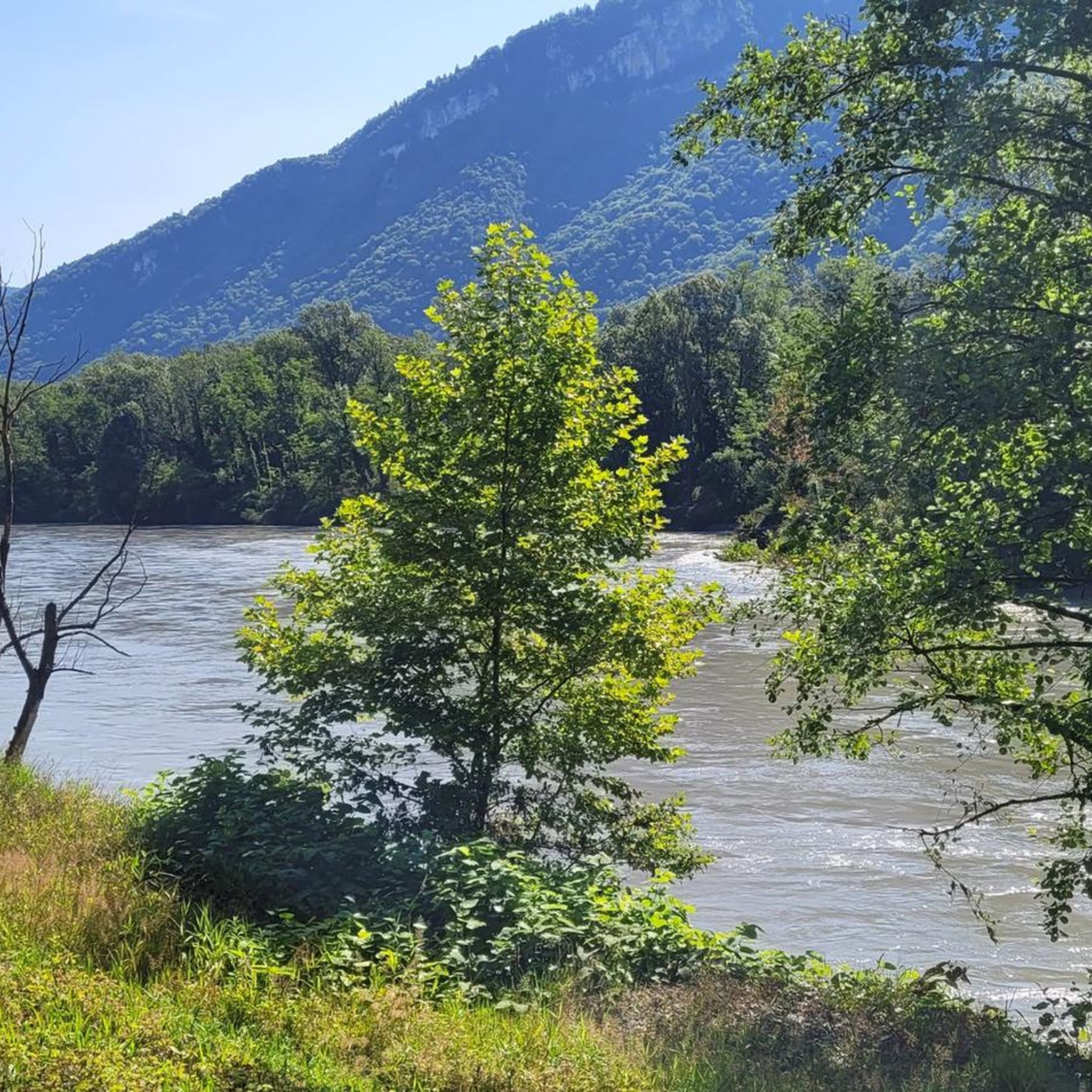
La Belle Via (Green Way): The bridge is an unmissable landmark for cyclists. A flat and shaded cycle route, the Green Way from Saint-Gervais to Pont-d'Oxford, follows the Isère river up to its confluence with the Drac, offering a superb view of the cliffs.
0
0
It is a reinforced concrete "Bow-string" bridge. Designed by the Parisian engineering firm Pelnard-Considère, its construction took place between 1950 and 1952 to replace a previous structure, relying on nearly 150 foundation piles for each abutment.
0
0
Frequently Asked Questions
What kind of terrain and difficulty can I expect on mountain bike trails around Saint-Quentin-Sur-Isère?
Mountain biking around Saint-Quentin-Sur-Isère is characterized by diverse pre-Alpine terrain, including deep valleys, dramatic limestone cliffs, and extensive forests. You'll find routes with significant elevation changes, especially near the Vercors Massif and Chartreuse Regional Nature Park. The trails range from easy forest paths to challenging mountain ascents. Out of 213 available routes, 125 are classified as difficult, 72 as moderate, and 16 as easy.
Are there mountain bike trails suitable for beginners?
Yes, there are trails suitable for beginners. While many routes in the area are challenging, there are 16 easy mountain bike trails around Saint-Quentin-Sur-Isère. These typically involve less elevation gain and are often found on forest paths or along the Isère River valley, providing a gentler introduction to the region's landscapes.
What is the typical length of mountain bike trails in this area?
Trail lengths vary significantly. For instance, a difficult route like Refuge des Feneys – Refuge de Gève loop from Montaud covers about 28.4 miles (45.7 km), while another challenging option, Monastery – Monastère de Chalais loop from Voreppe, is around 11.5 miles (18.5 km). You'll find a wide range of distances to suit different preferences and fitness levels.
Are there any notable landmarks or viewpoints along the mountain bike trails?
Yes, the region offers several viewpoints and landmarks. You can find panoramic views from places like La Molière Alpine Pasture and Panoramic View. Other notable features include the Charande Summit and various tunnels like the Écouges Tunnel and Mortier Tunnel, which are part of the local landscape.
Can I find any natural wonders like gorges or waterfalls while mountain biking?
Absolutely. The area is rich in natural features. You can explore the Gorges du Crossey or visit the Grotte de la Ture. For waterfalls, look for the Waterfall and Rocky Stream in Parc Naturel Régional du Vercors. Many trails offer views of these impressive natural formations, such as the View of the Infernet Gorge.
Are there family-friendly mountain bike trails in Saint-Quentin-Sur-Isère?
Yes, there are options for families. While the region is known for its challenging terrain, the 16 easy trails are generally more suitable for family outings. These routes often follow less steep paths through forests or along the river, providing a safer and more enjoyable experience for riders of all ages. Always check the specific trail details for suitability.
Can I bring my dog on the mountain bike trails?
Many trails in the natural parks and forests around Saint-Quentin-Sur-Isère are dog-friendly, especially if your dog is accustomed to longer rides and varied terrain. However, it's always recommended to keep dogs on a leash, particularly in protected areas or when encountering wildlife or other trail users. Check local regulations for specific trails within the Vercors Massif and Chartreuse Regional Nature Park.
Are there circular mountain bike routes available?
Yes, many of the mountain bike trails in the region are designed as circular routes, allowing you to start and end at the same point. Examples include the difficult Grand Ratz Launch Site loop from Veurey-Voroize and the View from the Dent de Moirans – Chemin des crêtes loop from Montaud. These loops are convenient for planning your ride without needing shuttle services.
What are the parking options for mountain biking trailheads?
Parking is generally available at or near many trailheads, especially in the villages and towns surrounding Saint-Quentin-Sur-Isère, such as Montaud or Voreppe, which serve as common starting points for routes like Grand Ratz Launch Site – Fairy forest loop from Voreppe. Specific parking information can often be found in the detailed route descriptions on komoot.
What is the best time of year for mountain biking in Saint-Quentin-Sur-Isère?
The best time for mountain biking is typically from spring through autumn (April to October). During these months, the weather is generally mild, and trails are clear of snow. Summer offers warm conditions, while spring and autumn provide cooler temperatures and vibrant scenery. Always check current weather and trail conditions, especially in higher elevations of the Vercors and Chartreuse massifs, as conditions can change rapidly.
What do other mountain bikers enjoy the most about mountain biking in Saint-Quentin-Sur-Isère?
The area is highly rated by the komoot community, with an average score of 4.4 stars from over 450 reviews. Reviewers often praise the diverse pre-Alpine terrain, the challenging ascents, and the panoramic views of multiple mountain ranges, including Mont Blanc and the Chartreuse. The variety of trails, from deep valleys to dense forests, also contributes to its popularity among over 2,900 mountain bikers who have explored the region with komoot.
Most popular routes around Saint-Quentin-Sur-Isère
Most popular attractions around Saint-Quentin-Sur-Isère

Get inspired with the komoot mobile app


Explore more
Browse the best MTB trails in other regions.
