The best walks and hikes around Bourg-Argental
4.6
(1450)
10,285
hikers
24
hikes
Hiking around Bourg-Argental offers diverse landscapes within the Pilat Regional Natural Park. The region is characterized by varied terrain, including forests, valleys, and hills, shaped by the Déôme and Riotet rivers. Hikers can explore extensive woodlands like the Taillard Forest and ascend to "crêts" (hills) for expansive views. This area provides a network of trails suitable for exploring its natural features and historical sites.
Best hiking trails around Bourg-Argental
- The most popular hiking route is Croix de la Pauze loop…
Last updated: May 12, 2026
4.3
(3)
14
hikers
7.67km
02:20
270m
270m
Moderate hike. Good fitness required. Easily-accessible paths. Suitable for all skill levels.
8
hikers
12.2km
03:48
470m
460m
Moderate hike. Good fitness required. Easily-accessible paths. Suitable for all skill levels.

Sign up for free
5.0
(1)
14
hikers
13.2km
03:47
310m
310m
Moderate hike. Good fitness required. Easily-accessible paths. Suitable for all skill levels.
5.0
(1)
9
hikers
18.5km
05:38
620m
620m
Hard hike. Very good fitness required. Easily-accessible paths. Suitable for all skill levels.
4.0
(2)
9
hikers
Easy hike. Great for any fitness level. Easily-accessible paths. Suitable for all skill levels.
Get access to more routes and recommendations from other explorers.
Sign up for free
Already have an account?
Our route recommendations are based on thousands of hikes, rides, and runs completed by other people on komoot.
Start today with a free account
Your next adventure awaits.
Login or Signup
Popular around Bourg-Argental




Tips from the Community

A massive, stone-built base supports the "Croix de Chirole," a symbol commemorating the crucifixion and resurrection of Jesus Christ, crowning the summit plateau. The two wooden beams of this small sacred monument clearly show the effects of wind and weather. The large body of the crucified Christ, however, whose light color clearly stands out against the background of the dark beams, appears to have been relatively recently restored or perhaps even renewed.
0
0

This picnic area offers a superb view of Bourg-Argental.
0
0

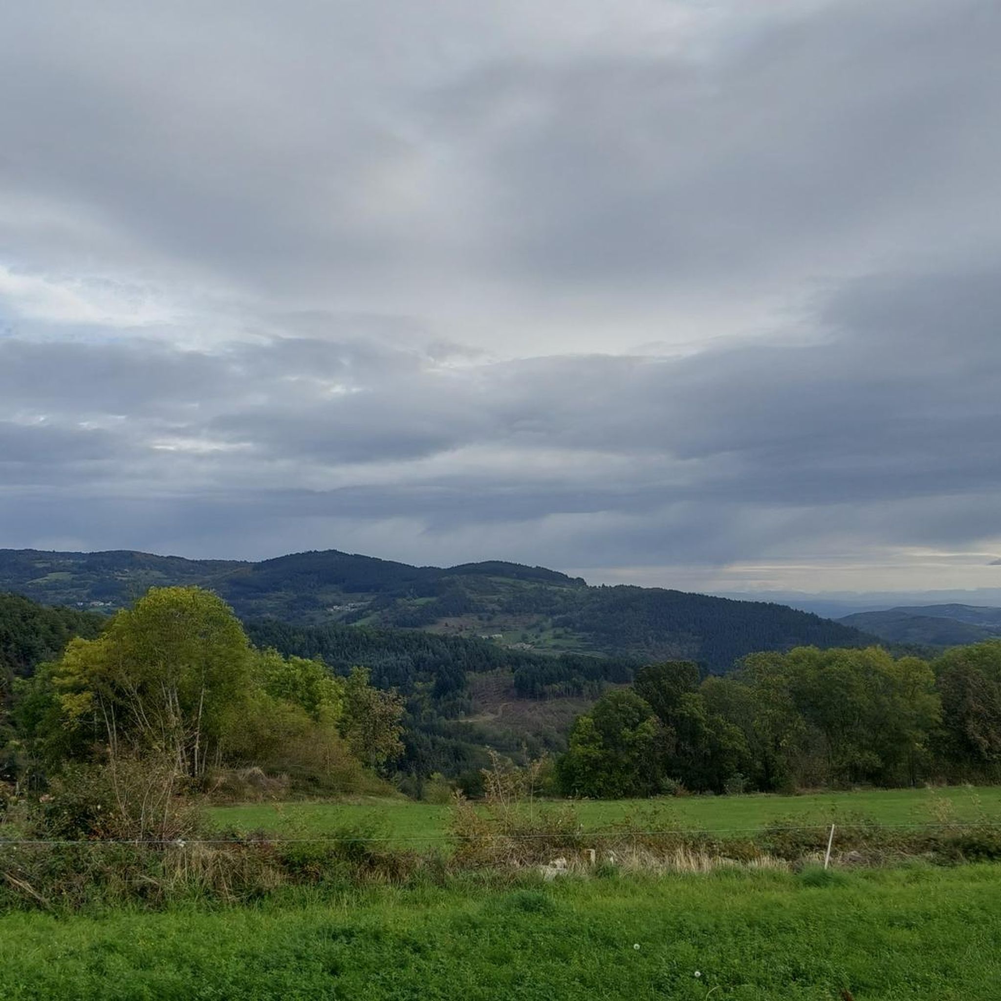
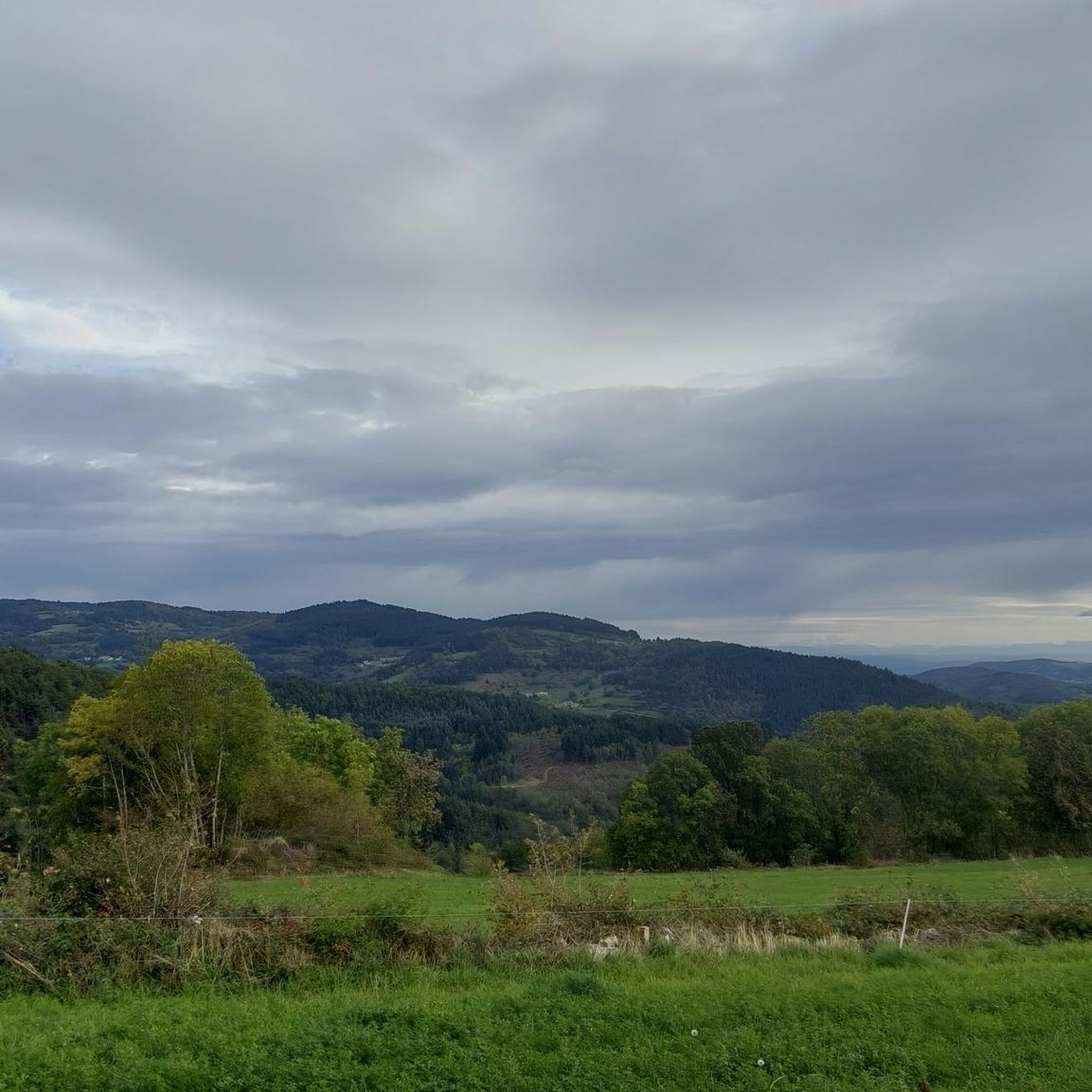
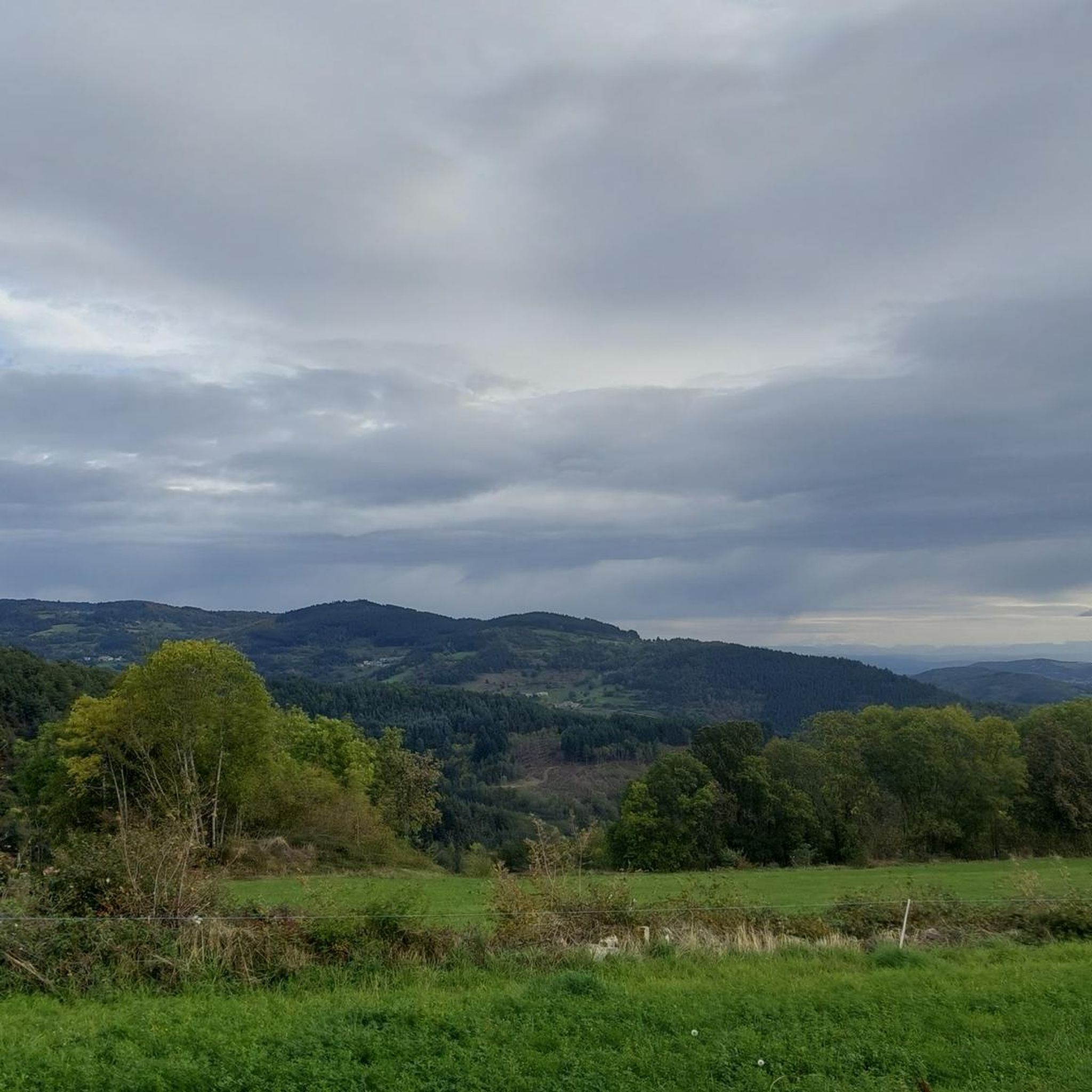
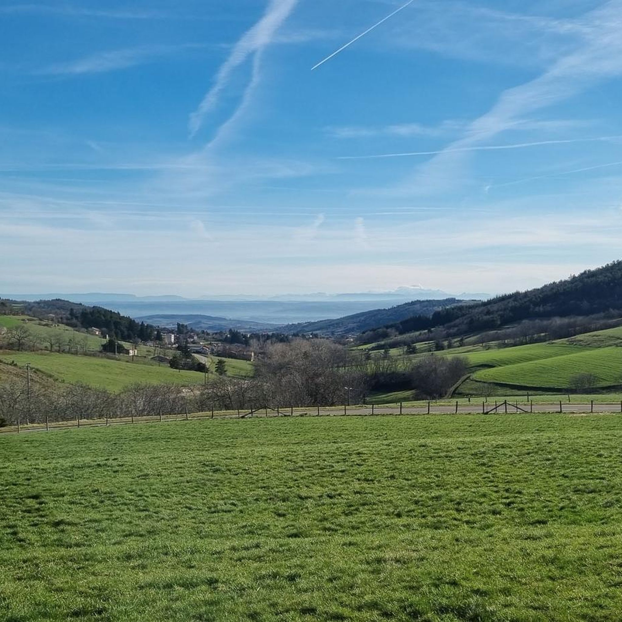
From its 915 meters, you can see through three valleys, the central massif and the Alps. Stunning panoramas.
3
0

The Saint-André church was built in 844 initially. It was the subject of successive additions until 1840, when it was classified as a historical monument. Its portal is both imposing and graceful. If you are lucky, you can listen to his magnificent organ behind the altar.
0
0


Small path between the fences (marked private path) beautiful climb in the woods to access the Saracen cave slightly further beautiful view of the valley
0
0

Starting point / arrival of the Pilat MTB Circuit Nº2: Bourg-Argental - Le Grand Bois
0
0
Frequently Asked Questions
What kind of hiking trails can I expect around Bourg-Argental?
Bourg-Argental, nestled in the Pilat Regional Natural Park, offers a diverse range of hiking trails. You'll find paths winding through dense forests, picturesque river valleys like the Déôme and Riotet, and ascents to 'crêts' (hills) that provide expansive panoramic views. The terrain varies, catering to different skill levels from easy walks to more challenging routes.
Are there trails suitable for families with children?
Yes, Bourg-Argental has several trails suitable for families. While specific 'family-friendly' designations aren't always explicit, the region offers a variety of easy and moderate routes with less elevation gain. These paths often lead through charming woodlands and offer opportunities to explore nature without being overly strenuous. Always check the route details for distance and elevation before heading out with children.
What are the best trails for panoramic views?
For breathtaking panoramic views, consider trails that ascend to the local 'crêts' or viewpoints. From various points around Bourg-Argental, you can enjoy expansive vistas of the Alps, the Massif Central, and the Monts du Forez. Notable spots mentioned in the region include Crêt de l'Oeillon for 360° views, and Chirole Cross, which offers wide perspectives across three valleys.
Are there any historical or natural landmarks to discover along the trails?
Absolutely. The trails around Bourg-Argental are rich with points of interest. You might encounter unique natural features like the Rocher de la Tortue, which offers views of Burdignes, or the Grotte Sarrazine. Historically, you can find the ruins of the 12th-century Château d'Argental, the significant Croix de la Pauze, and ancient markers like the Menhir du Flat and Croix de Sainte-Blandine. Many routes, such as the Croix de la Pauze loop from Bourg-Argental, incorporate these sites.
How many hiking routes are available in total?
There are over 20 hiking routes documented around Bourg-Argental, offering a wide range of options for different preferences and fitness levels. These include easy strolls, moderate treks, and some more challenging ascents.
What is the general difficulty level of hikes in this area?
The hiking trails around Bourg-Argental offer a good mix of difficulty levels. You'll find approximately 4 easy routes, 13 moderate routes, and 3 more challenging trails. This variety ensures that both casual walkers and experienced hikers can find suitable options.
Are there any circular hiking routes?
Yes, many of the hiking routes around Bourg-Argental are designed as loops, allowing you to start and end at the same point. Examples include the Croix de la Pauze loop from Bourg-Argental, the Bourg-Argental mountain bike circuit loop from Les Chaberts, and the Chirole Cross loop from Zone artisanale les Rivets.
What do other hikers say about the trails in Bourg-Argental?
The hiking trails in Bourg-Argental are highly regarded by the komoot community, with an average rating of 4.6 stars from over 1,300 reviews. Hikers often praise the varied terrain, the beauty of the Pilat Regional Natural Park, and the rewarding panoramic views from the 'crêts'.
Can I bring my dog on the hiking trails?
While many trails in natural parks are dog-friendly, it's always best to check specific regulations for the Pilat Regional Natural Park and individual trails. Generally, dogs are welcome on leash, but some protected areas or nature reserves might have restrictions. Always ensure your dog is under control and that you clean up after them.
What is the best time of year to go hiking in Bourg-Argental?
The diverse landscapes of Bourg-Argental make it suitable for hiking across multiple seasons. Spring and autumn offer pleasant temperatures and vibrant scenery with blooming flowers or colorful foliage. Summer is also popular, though some higher elevation trails might provide cooler air. Winter hiking is possible, especially on lower trails, but always check weather conditions and trail accessibility for snow or ice.
Are there any long-distance hiking paths that pass through the area?
Yes, a portion of the GR42, a well-known long-distance hiking path, traverses the region around Bourg-Argental. This offers an opportunity for more immersive, multi-day experiences through the local forests and varied terrain for those seeking a longer adventure.
Most popular routes around Bourg-Argental
Most popular attractions around Bourg-Argental

Get inspired with the komoot mobile app


Explore more
Browse the best Hikes in other regions.
