The best walks and hikes around Mittlach
4.5
(3190)
15,397
hikers
65
hikes
Hiking around Mittlach offers access to the diverse landscapes of the Vosges Mountains and the Ballons des Vosges Regional Natural Park. The region features rounded summits, deep forests, and numerous glacial lakes such as Lac du Fischboedle. Hikers can explore majestic ridges, including the Hohneck, and valleys characterized by moraine fields and waterfalls. This area provides varied terrain for all levels of hiking.
Best hiking trails around Mittlach
- The most popular hiking route is Forest Waterfall – Lake Fischboedle loop…
Last updated: November 8, 2026
4.7
(34)
251
hikers
16.0km
04:40
360m
360m
Moderate hike. Good fitness required. Mostly walkable paths. Sure-footedness required.
4.9
(13)
133
hikers
20.0km
07:26
1,000m
1,000m
Hard hike. Very good fitness required. Sure-footedness, sturdy shoes and alpine experience required.

4.7
(23)
144
hikers
13.4km
05:34
800m
800m
Hard hike. Very good fitness required. Sure-footedness, sturdy shoes and alpine experience required.
4.6
(40)
167
hikers
Moderate hike. Good fitness required. Easily walkable paths.
4.6
(29)
153
hikers
8.89km
02:28
170m
170m
Moderate hike. Good fitness required. Easily walkable paths.
Get access to more routes and recommendations from other explorers.
Already have an account?
Our route recommendations are based on thousands of hikes, rides, and runs completed by other people on komoot.
Start today with a free account
Your next adventure awaits.
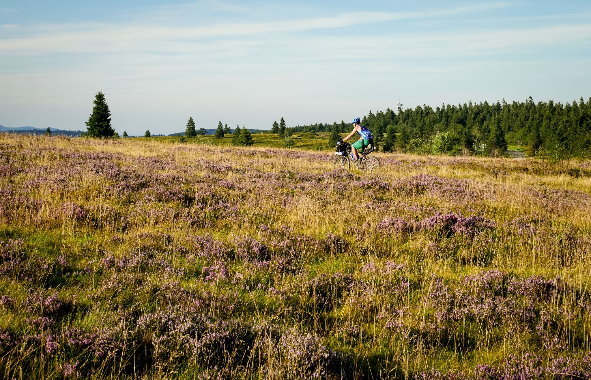
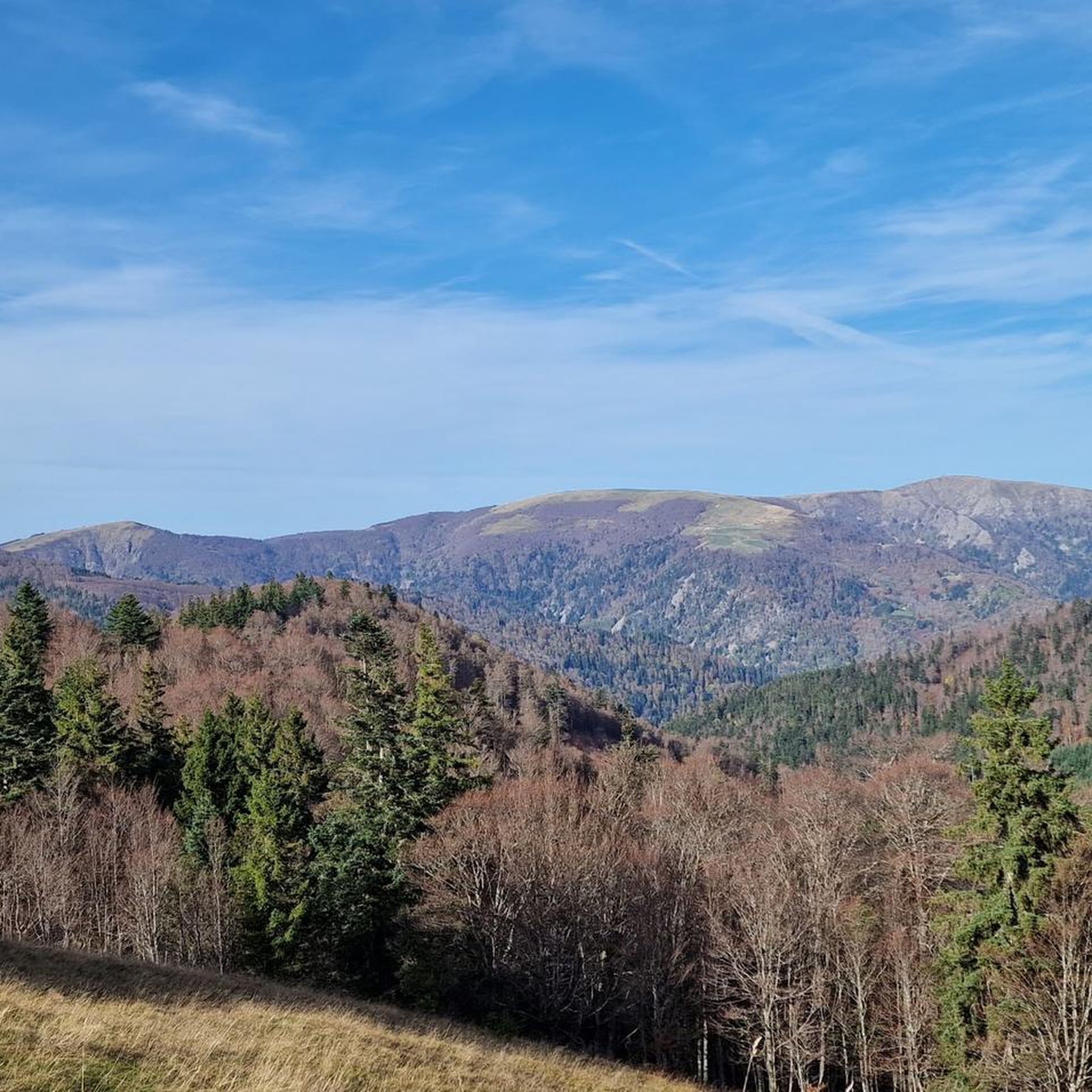
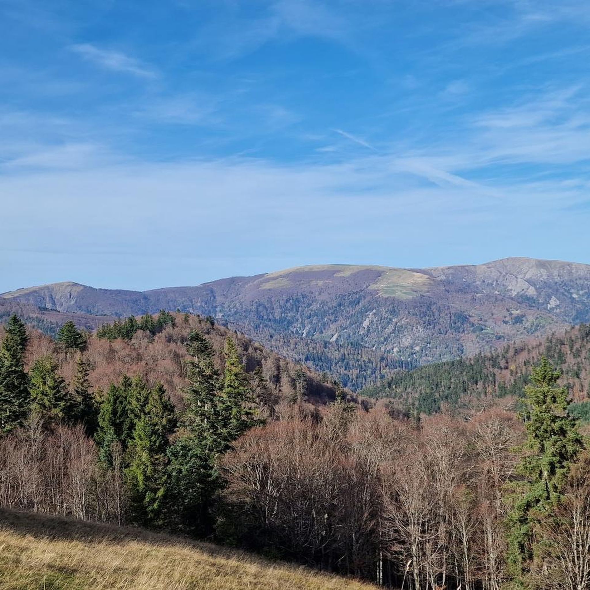

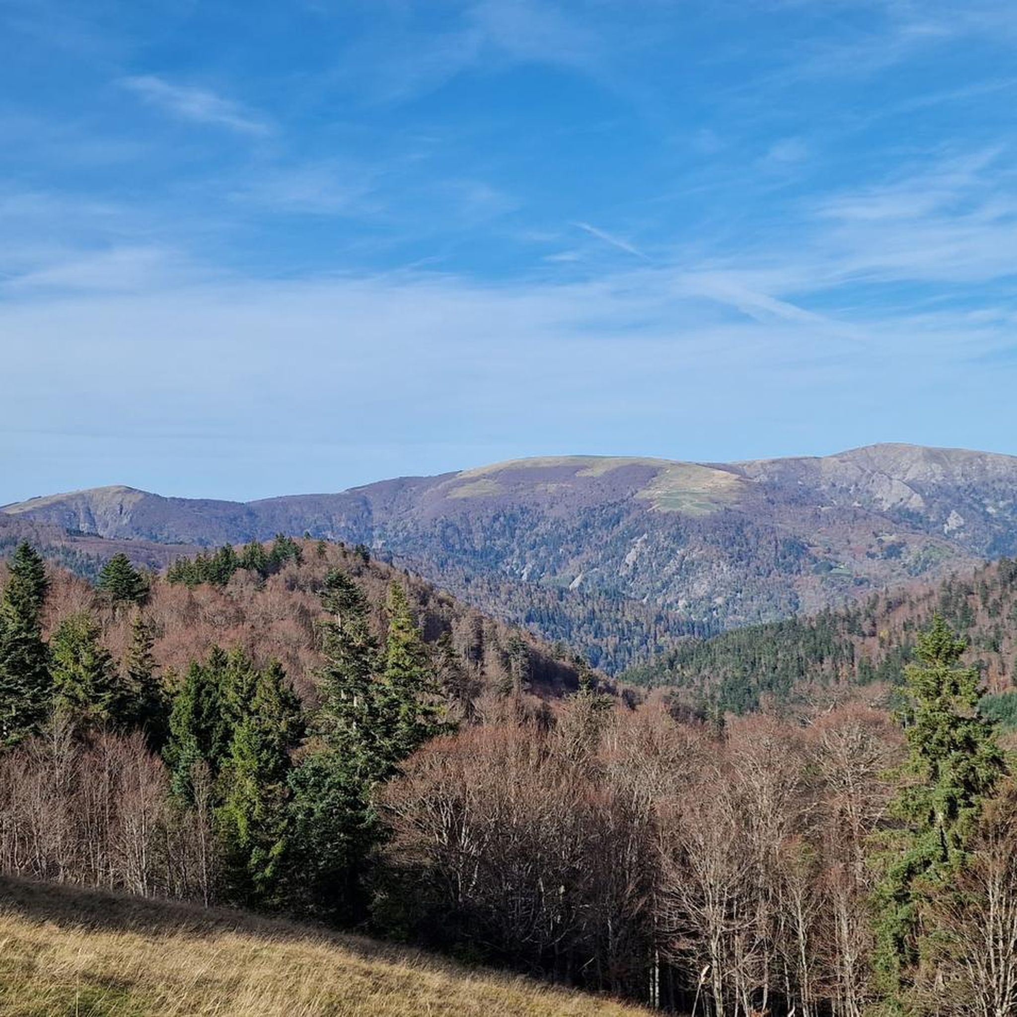

Other adventures around Mittlach

Tips from the Community

De Col van Hahnenbrunnen ligt op een open bergzadel in de Hoge Vogezen, tussen de Markstein‑kam en de Breitfirst. De pas bevindt zich rond 1180 meter hoogte en vormt een overgang tussen de bergweiden (chaumes) van de Route des Crêtes en de beboste hellingen die afdalen naar het dal van de Lauch. Het gebied is genoemd naar oude bergboerderijen (fermes d’altitude) die hier eeuwenlang vee hielden op de hooggelegen weiden.
6
0

There is a very nice view over the Sondernach Valley.
0
0

The refuge volunteers are very warm. It is possible to eat your packed lunch provided you consume the drinks on sale. Their price is low. In addition, the view is magnificent.
0
0

Located between 1010 and 1258 meters above sea level.
0
0
There are benches and picnic tables that allow for a break.
2
0

The Col du Hahnenbrunnen is located on the departmental road D430, the Route des Crêtes, and belongs to the Arrondissement of Thann-Guebwiller. There is also a bus stop there; see more details about seasonally operating buses here: https://www.visit.alsace/de/erlebnisse/erfahrung-kurs-aufs-abenteuer-mit-dem-navette-des-cretes/ There is also the Refuge du Hahnenbrunnen, a simple accommodation option with dormitories. More information about it: https://www.visit.alsace/de/231008596-refuge-du-hahnenbrunnen/
0
0
Frequently Asked Questions
How many hiking trails are available around Mittlach?
There are over 69 hiking routes around Mittlach, offering a wide range of experiences from easy walks to challenging alpine-like routes through the Vosges Mountains.
Are there any easy or family-friendly hiking options in Mittlach?
Yes, Mittlach offers 15 easy routes suitable for families or those looking for a relaxed walk. These trails often wind through forests and meadows, providing gentle gradients and beautiful scenery. For a moderate option with great views, consider the View of Schnepfenried – Schnepfenriedkopf loop from Mittlach, which is 8.6 km long.
What are some challenging hikes around Mittlach?
For experienced hikers seeking a challenge, Mittlach has 20 difficult routes. These often involve significant elevation gain and rugged terrain. A demanding option is the Rothenbachkopf (1,316 m) – Rainkopf Summit loop from Mittlach, a 20 km trail with nearly 950 meters of ascent, offering panoramic views from the bare ridges of Rothenbachkopf.
Can I find hikes that feature waterfalls or lakes?
Absolutely. The region is known for its glacial lakes and waterfalls. The Wormsa Valley, in particular, features a succession of glacial moraine fields and small waterfalls. You can explore routes like the Forest Waterfall – Lake Fischboedle loop from Mittlach, which takes you past a forest waterfall and the beautiful Lac du Fischboedle. Other notable lakes include Lake Schiessrothried and Lake Lispach.
Are there any circular hiking routes available?
Many of the trails around Mittlach are designed as circular routes, allowing you to start and end at the same point. For example, the Nonselkopf – Uff Rain Farmhouse Inn loop from Col du Platzerwasel is a moderate 16 km loop that offers scenic views of the Vosges landscape and passes a traditional farmhouse inn.
What are the best viewpoints or summits to hike to in the area?
The Vosges Mountains offer numerous panoramic viewpoints. The Hohneck is a major draw, providing extensive vistas and is one of the highest points accessible by road. Grand Ballon, the highest peak in the Vosges, also offers incredible panoramic views, extending to the Rhine Valley and even the Alps on clear days.
What kind of natural features can I expect to see while hiking?
Hiking around Mittlach immerses you in diverse natural beauty. You'll encounter the soft curves and rounded summits of the Vosges Mountains, deep forests, and flowery meadows. The region is also characterized by stunning glacial lakes like Lac du Altenweiher and Lac de Schiessrothried, as well as dramatic valleys with moraine fields and waterfalls, particularly in the Wormsa Valley.
Are there any historical or cultural attractions near the hiking trails?
Beyond natural beauty, the Munster Valley surrounding Mittlach features historical sites, including World War I landmarks, which add another layer of interest to your visit. While hiking, you might also come across traditional farm inns, such as the Uff Rain Farmhouse Inn, offering a glimpse into local culture and refreshments.
What is the best time of year to go hiking in Mittlach?
Mittlach is a great hiking destination throughout much of the year. Spring and autumn offer pleasant temperatures and vibrant scenery, with autumn showcasing stunning fall foliage. During winter, the region transforms, providing opportunities for snowshoeing, including guided tours around areas like the Schlucht pass and Lac Blanc.
Are there any specific trails for experienced hikers looking for an adventure?
Yes, for experienced hikers, the Sentier des Roches is a renowned challenging trail. It's known for its adventurous sections that require sure-footedness and a good head for heights, offering a truly memorable experience in the Vosges.
What do other hikers enjoy most about the trails in Mittlach?
The trails in Mittlach are highly rated by the komoot community, with an average score of 4.6 stars from over 2,600 reviews. Hikers frequently praise the diverse landscapes, from dense forests and high-altitude pastures to majestic ridges with magnificent viewpoints, and the presence of beautiful glacial lakes and waterfalls.
Is it possible to combine hiking with other outdoor activities in the Mittlach area?
Yes, the Munster Valley and surrounding areas offer a variety of outdoor activities beyond hiking. You can also enjoy cycling, mountain biking, fishing, and rock climbing, making it a versatile destination for outdoor enthusiasts.
Most popular routes around Mittlach
Most popular attractions around Mittlach

Get inspired with the komoot mobile app


Explore more
Browse the best Hikes in other regions.
