The best running trails around Saint-Gervais
4.5
(80)
5,378
runners
291
runs
Jogging around Saint-Gervais offers access to a diverse alpine environment at the foot of Mont Blanc. The region features lush forests, expansive alpine meadows, and crystal-clear streams, providing varied terrain for runners. Protected natural areas, including the Mont Blanc Massif National heritage site, preserve the geological heritage and diverse flora and fauna of the area, with trails winding through these landscapes.
Best jogging routes around Saint-Gervais
- The most popular jogging route is Grotte de la Ture – Gève Refuge loop…
Last updated: October 4, 2026
19
runners
21.5km
02:12
30m
30m
Hard run. Very good fitness required. Mostly paved surfaces. Suitable for all skill levels.
17
runners
9.23km
01:06
200m
200m
Moderate run. Good fitness required. Mostly paved surfaces. Suitable for all skill levels.

12
runners
18.2km
02:40
790m
790m
Hard run. Very good fitness required. Sure-footedness, sturdy shoes and alpine experience required.
9
runners
11.8km
01:50
680m
690m
Hard run. Very good fitness required. Mostly accessible paths. Some sure footedness required.
5.0
(1)
5
runners
4.69km
00:36
140m
140m
Moderate run. Good fitness required. Mostly paved surfaces. Suitable for all skill levels.
Get access to more routes and recommendations from other explorers.
Already have an account?
Our route recommendations are based on thousands of hikes, rides, and runs completed by other people on komoot.
Start today with a free account
Your next adventure awaits.


Other adventures around Saint-Gervais

Tips from the Community

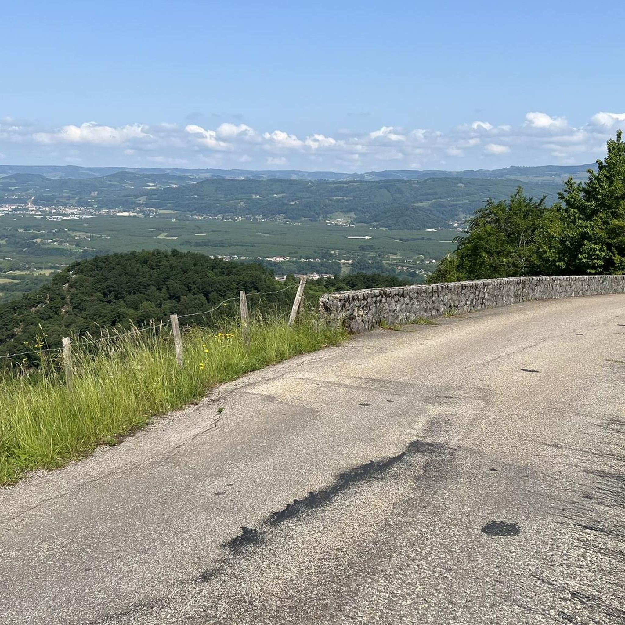
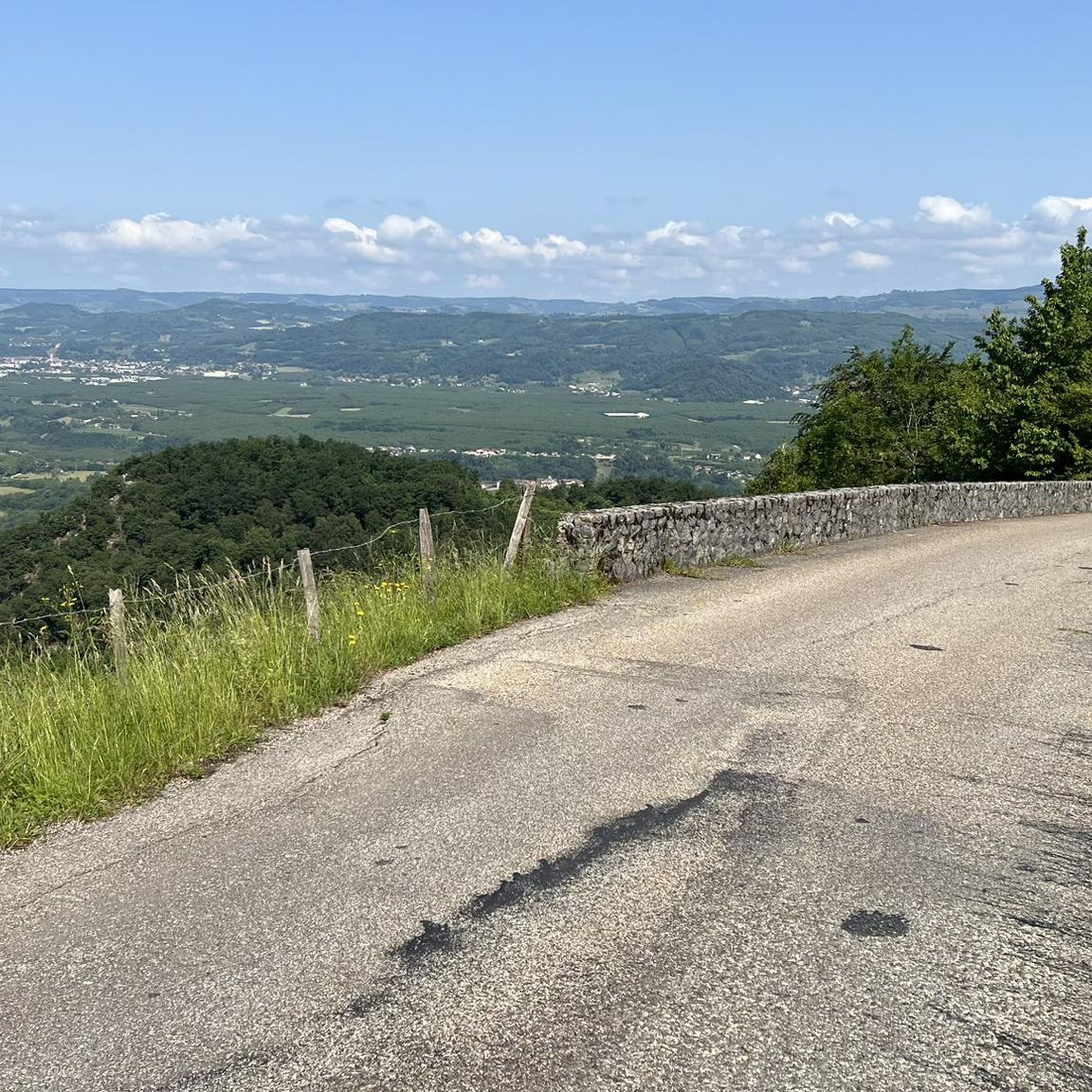
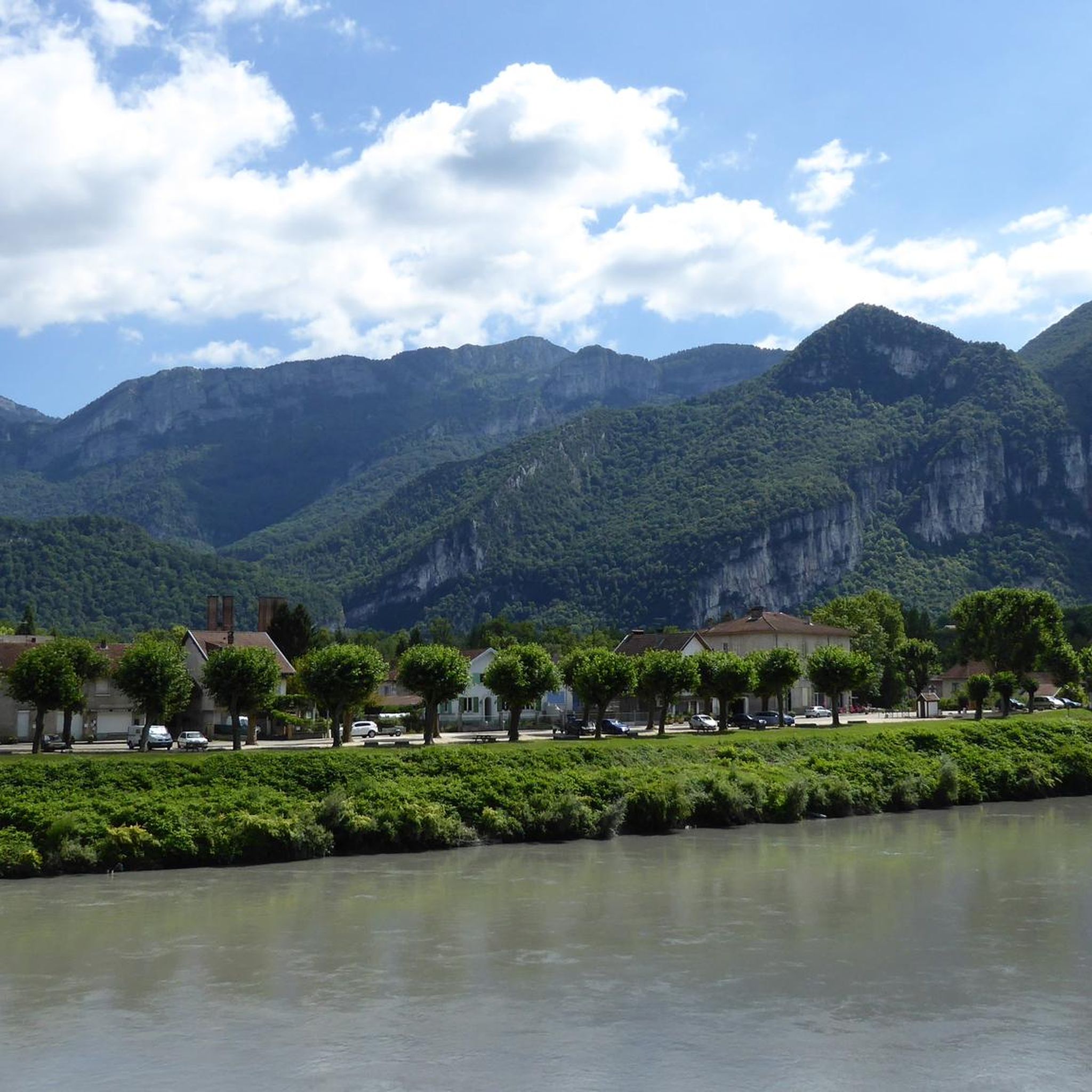
A laid out flat, with occasional views of the Isère and the ver c ors, but frankly a bit boring and frankly along the highway. The crossed rest area looked nice but was crowded with people. The charging and repair station was out of order.
0
0

This small rural village of about 600 inhabitants (the Rovonnais and Rovonnaises) is ideally located at the foot of the Vercors massif.
0
0
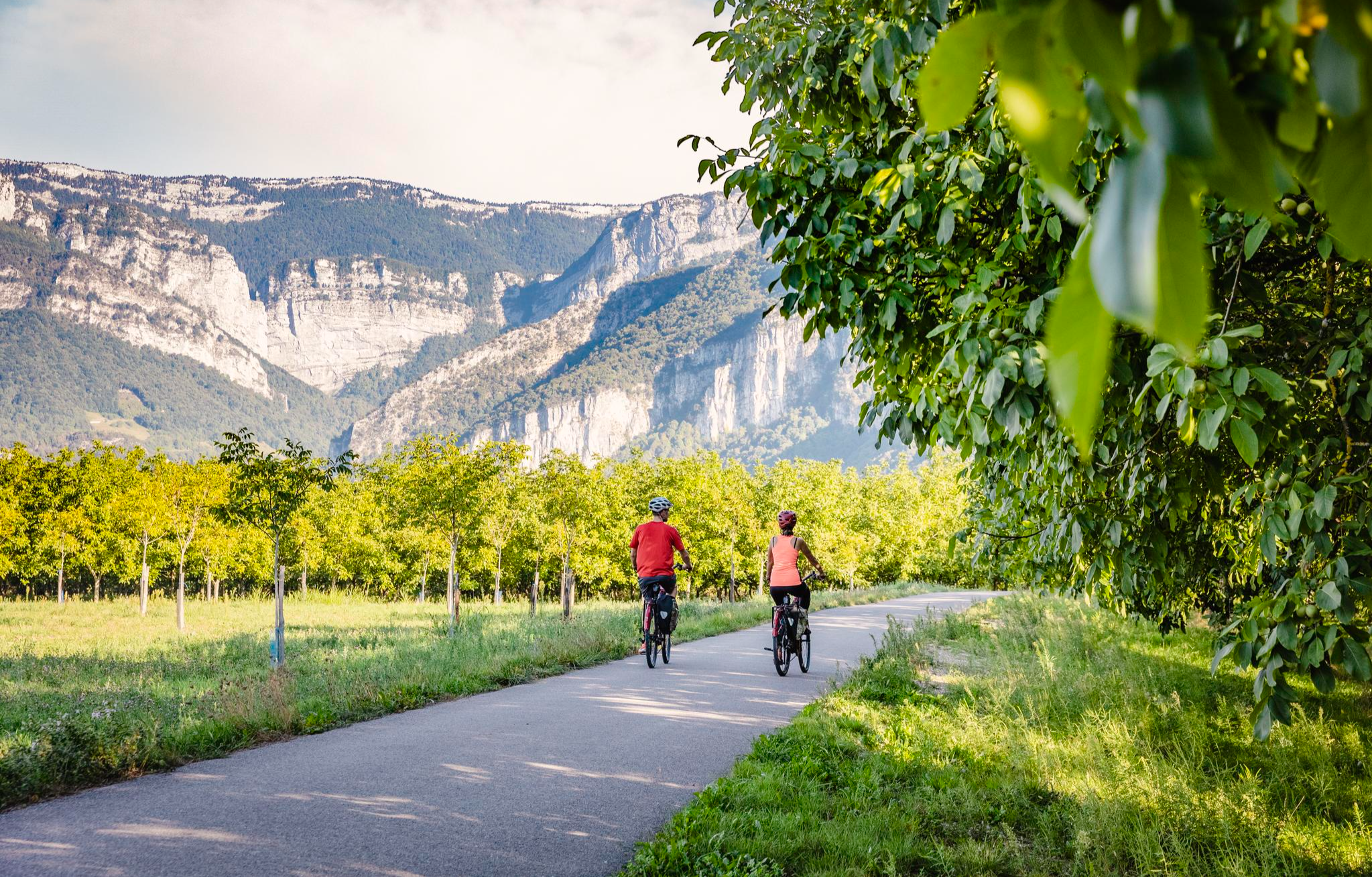
La Véloroute de l'Isère, officially integrated into the national route La Belle Via (referenced under number V63), is a cycling route of over 200 kilometers that runs along the Isère river. It connects the foothills of Savoie to the Drôme (connection with ViaRhôna), by crossing the entire department of Isère and its capital, Grenoble.
0
0
The La Véloroute de l'Isère, officially integrated into the national route La Belle Via (referenced under number V63), is a cycling route of over 200 kilometers that runs along the Isère river. It connects the foothills of Savoie to the Drôme (connection with ViaRhôna), by crossing the entire department of Isère and its capital, Grenoble.
0
0
The Véloroute de l'Isère, officially integrated into the national La Belle Via route (referenced under number V63), is a cycling route of over 200 kilometers that runs along the Isère river. It connects the foothills of Savoie to the Drôme (connection with ViaRhôna), crossing the entire Isère department and its capital, Grenoble.
0
0
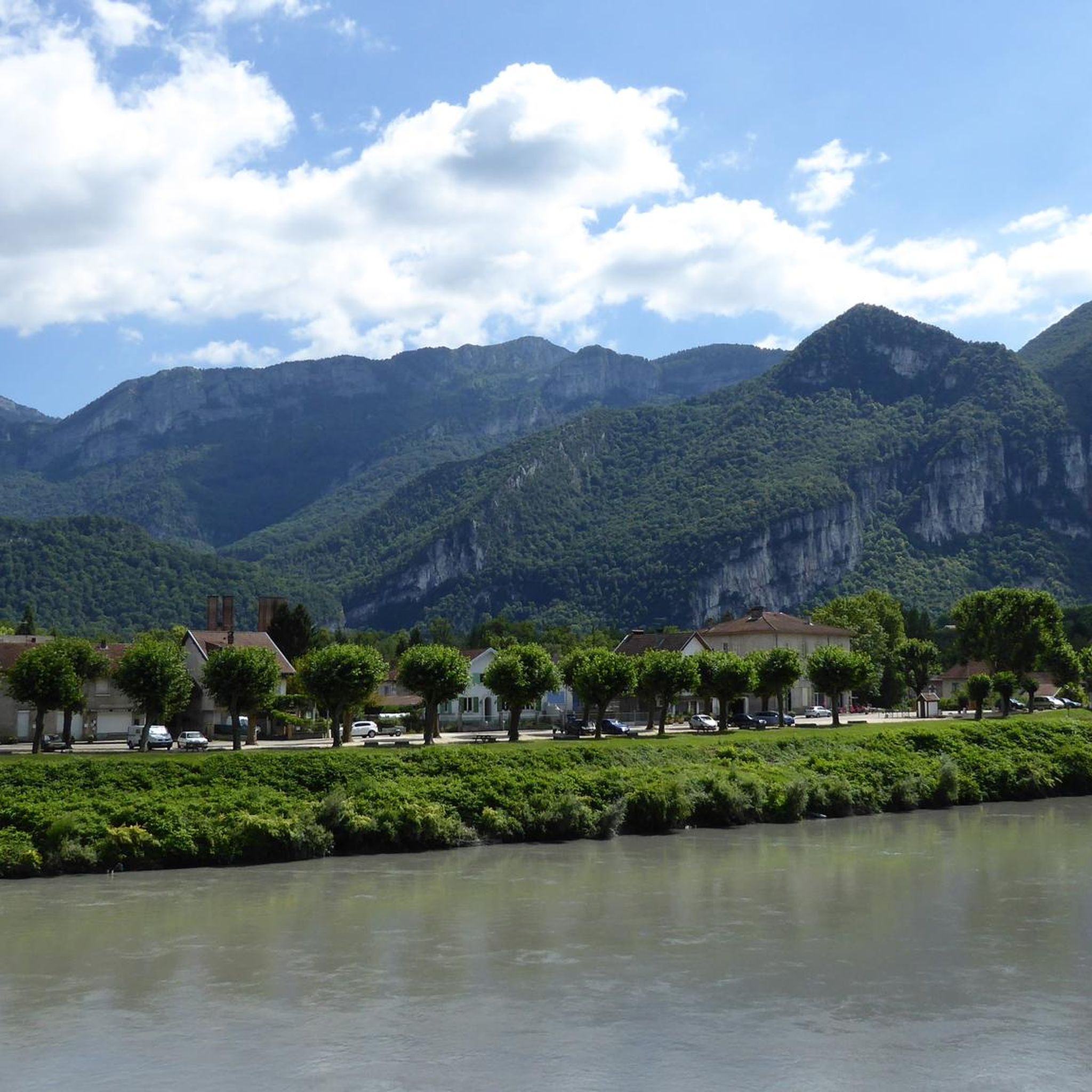
La Belle Via (Green Way): The bridge is an unmissable landmark for cyclists. A flat and shaded cycle route, the Green Way from Saint-Gervais to Pont-d'Oxford, follows the Isère river up to its confluence with the Drac, offering a superb view of the cliffs.
0
0
It is a reinforced concrete "Bow-string" bridge. Designed by the Parisian engineering firm Pelnard-Considère, its construction took place between 1950 and 1952 to replace a previous structure, relying on nearly 150 foundation piles for each abutment.
0
0
Hiker's shelter: A small annex building of about 30 m², housing an old ox shoeing workshop, has been renovated and opened on one side to serve as an unguarded shelter where it is possible to sleep.
0
0
Frequently Asked Questions
How many running routes are available in Saint-Gervais?
Saint-Gervais offers a vast network of over 290 running and jogging routes. These trails cater to all levels, from easy paths through alpine meadows to challenging mountain runs with significant elevation changes.
What are the different difficulty levels for running trails in Saint-Gervais?
The running trails in Saint-Gervais are classified into various difficulty levels. You'll find approximately 20 easy routes perfect for beginners or relaxed runs, around 130 moderate paths for those with some experience, and nearly 150 difficult trails designed for seasoned trail runners seeking a challenge. The region research also mentions 'very difficult' trails.
What kind of landscapes can I expect on the jogging routes around Saint-Gervais?
Jogging around Saint-Gervais immerses you in a diverse alpine environment at the foot of Mont Blanc. Expect lush forests, expansive green alpine meadows, and crystal-clear alpine streams. Many routes offer panoramic views of snow-capped peaks and the majestic Mont Blanc massif, especially in protected natural areas like the Mont Blanc Massif National heritage site.
Are there any easy or beginner-friendly running routes in Saint-Gervais?
Yes, Saint-Gervais offers several easy routes ideal for beginners or those looking for a relaxed run. The region research mentions the "Tour du Parc Thermal" as an easy route. These trails are generally well-marked with minimal ascents and descents, perfect for enjoying nature at a comfortable pace.
Are there any challenging trail running options for experienced runners?
Absolutely. Saint-Gervais is a paradise for mountain runners, offering numerous difficult and very difficult trails. For instance, the Grotte de la Ture – Gève Refuge loop from Autrans-Méaudre en Vercors is a challenging 22.4 km route with significant elevation. The region research also highlights the "Kilomètre Vertical" which ascends to the mythical Mont Joly summit, and the "Montée du Bettex" which can be used for specific uphill or downhill training.
What do other runners enjoy the most about jogging in Saint-Gervais?
The running routes in Saint-Gervais are highly rated by the komoot community, with an average score of 4.4 stars from 60 reviews. Runners often praise the breathtaking panoramas, the diverse terrain that caters to all levels, and the immersive experience in unspoilt nature, especially with views of Mont Blanc.
Are there any specific viewpoints or natural features to look out for on the running trails?
Yes, the region is rich in natural beauty and viewpoints. You can find highlights like the La Molière Alpine Pasture and Panoramic View, offering stunning vistas. Other notable features include the Gorges du Nan and various summits like Charande Summit, providing incredible backdrops for your run.
Can I find circular running routes in Saint-Gervais?
Yes, many of the running routes in Saint-Gervais are designed as loops, allowing you to start and finish in the same location. Examples from the guide data include the Autrans – Autrans Mountain Village loop from Trou Qui Souffle and the Gève Refuge loop from Autrans-Méaudre en Vercors. The region research also mentions the "Boucle du Mont d'Arbois" as ideal for daily training.
Are there running routes suitable for families in Saint-Gervais?
While specific family-friendly routes aren't detailed in the guide data, the presence of easy trails suggests options for families. Look for routes with minimal elevation gain and shorter distances, often found winding through lush forests and alpine meadows, which provide a pleasant environment for all ages.
Are dogs allowed on the running trails in Saint-Gervais?
The region research doesn't explicitly state rules regarding dogs on trails. However, in many alpine areas, dogs are generally permitted on trails, especially if kept on a leash. It's always advisable to check local regulations or signage at trailheads, particularly within protected natural areas like the Mont Blanc Massif National heritage site, to ensure compliance.
What is the best time of year for jogging in Saint-Gervais?
Saint-Gervais offers running opportunities across seasons. Summer is ideal for accessing higher altitude trails and enjoying the full extent of the alpine landscape. Spring and autumn provide cooler temperatures and vibrant scenery in the lower forests and meadows. Winter running is also possible on designated trails, though conditions will vary and require appropriate gear.
Are there any routes that offer a mix of terrain, including flatter sections?
Yes, the diverse trail network in Saint-Gervais includes routes with varied terrain. The region research mentions some trails featuring flat sections, such as the first 5 kilometers of a route discovering the ski area. This allows runners to experience both challenging ascents and more relaxed, level stretches.
Can I access running trails using public transport or cable cars?
Yes, public transport and cable cars can facilitate access to certain running trails. The historic Tramway du Mont Blanc (TMB) ascends to the "Eagles Nest" and serves as a starting point for expeditions. Additionally, cable cars from Saint-Gervais transport visitors to the Plateau of Bettex and Mont d'Arbois, providing access to stunning vistas and additional running options, such as the "Montée du Bettex" mentioned in the region research.
Most popular routes around Saint-Gervais
Most popular attractions around Saint-Gervais

Get inspired with the komoot mobile app


Explore more
Browse the best Running Trails & Routes in other regions.
