The best mountain hikes around Langensulzbach
5.0
(10)
21
hikers
4
hikes
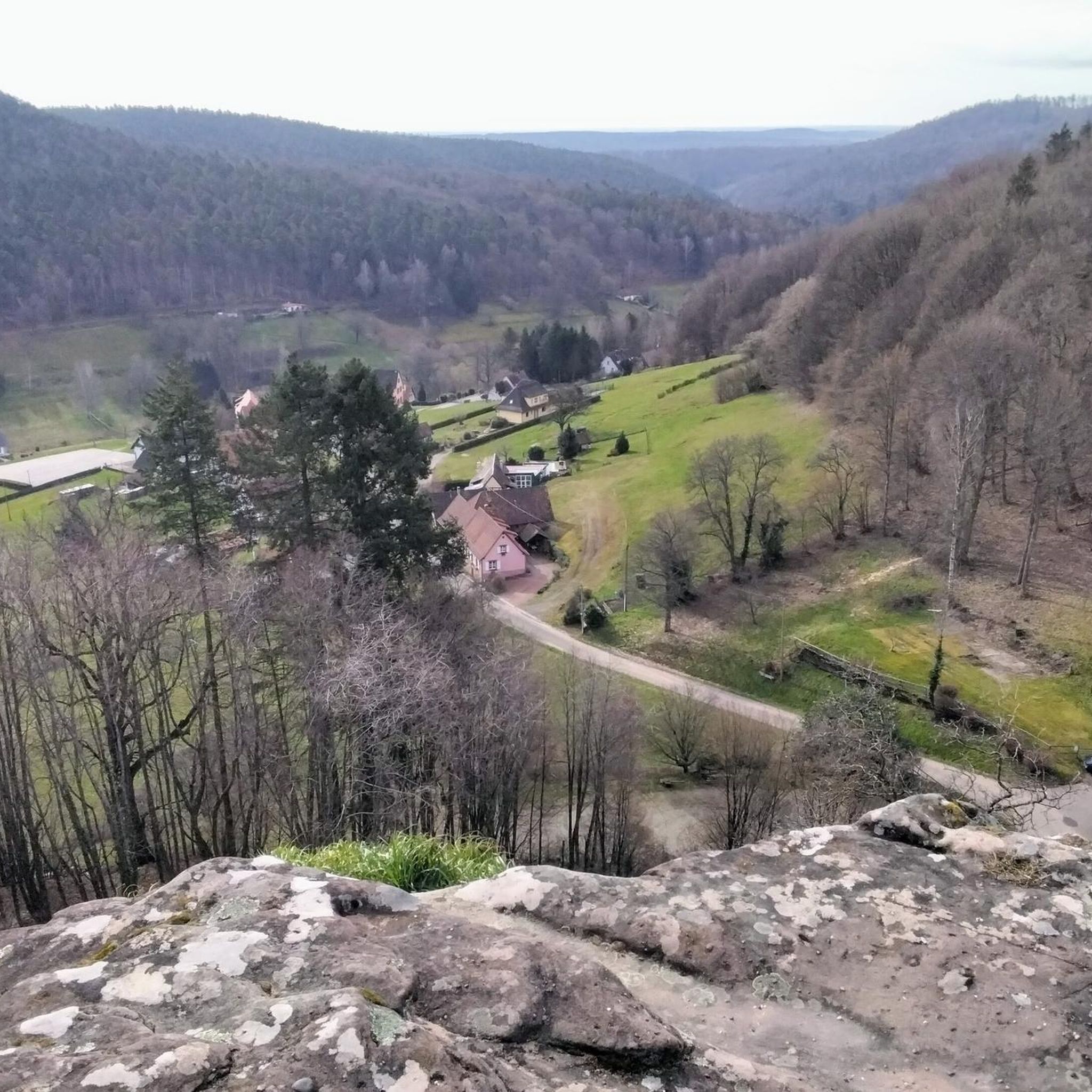
Mountaineering routes around Langensulzbach traverse a landscape characterized by dense woodlands, historic castle ruins, and distinctive sandstone rock formations. The region, situated near the Palatinate Forest, features varied elevation changes suitable for moderate mountaineering. These routes often lead through forested hills, offering views of the surrounding natural environment and historical sites. The terrain primarily consists of well-defined paths and trails, with some sections involving steeper ascents and descents.
Best mountaineering routes around Langensulzbach
- The most popular mountaineering route is View…
Last updated: November 19, 2026
5.0
(3)
7
hikers
10.9km
03:32
370m
370m
Moderate mountaineering route. Good fitness required. Mostly walkable paths. Sure-footedness required.
5.0
(3)
8
hikers
Moderate mountaineering route. Good fitness required. Mostly walkable paths. Sure-footedness required.

5.0
(2)
2
hikers
12.9km
04:03
480m
490m
Moderate mountaineering route. Good fitness required. Mostly walkable paths. Sure-footedness required.
1
hikers
12.3km
04:02
490m
500m
Moderate mountaineering route. Good fitness required. Mostly walkable paths. Sure-footedness required.
1
hikers
11.2km
03:41
400m
400m
Moderate mountaineering route. Good fitness required. Mostly walkable paths. Sure-footedness required.
Our route recommendations are based on thousands of hikes, rides, and runs completed by other people on komoot.
Start today with a free account
Your next adventure awaits.

Tips from the Community

In front of the Gienanth-Haus (built in 1839; sold to the municipality in 1885), there is an interesting and very detailed information board on the topics of "Iron smelting in Schönau; The Gienanth family and iron processing; Ludwig von Gienanth in Schönau; The ironworks after 1848; The Gienanth-Haus." The QR code on this information board leads to the Schönau website: https://www.schoenau-pfalz.de/gienanthaus.html
1
0

What a hiking paradise. You don't know where to look first.
0
0
Bilingual information board about the cross-border biosphere reserve Pfälzer Wald/Nordvogesen.
0
0
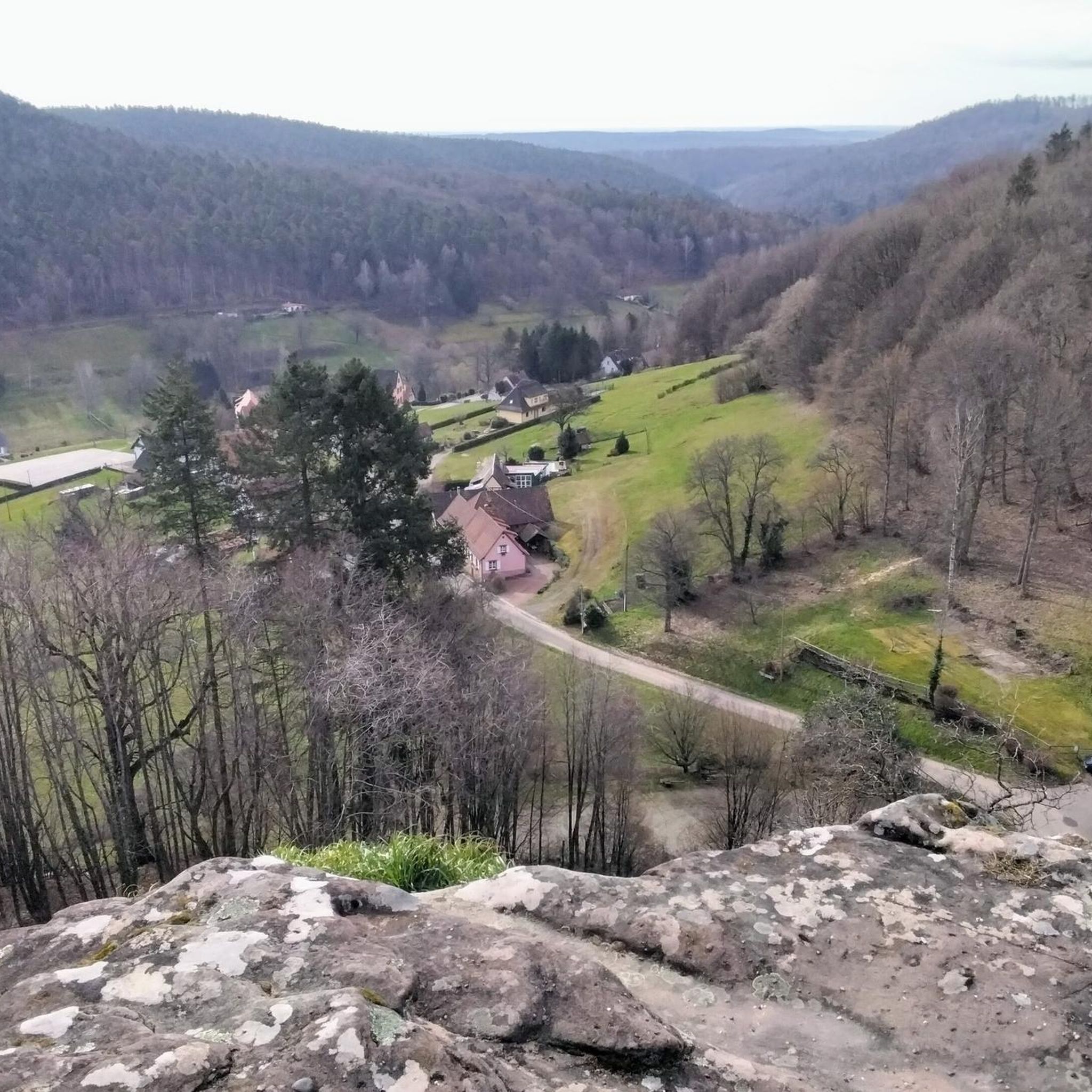
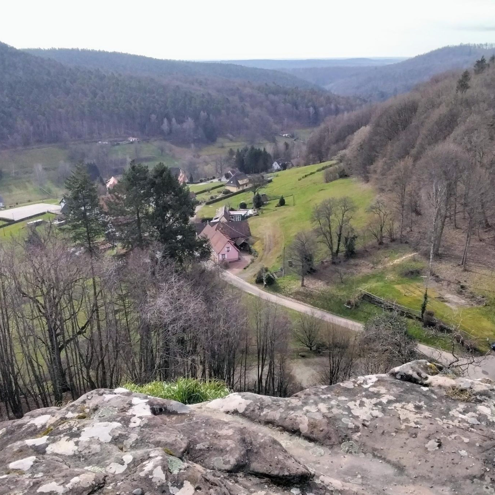
From Gimbelhof, you can see Burg Fleckenstein clearly again.
0
0

The tree at the very top of Burg Blumenstein is a natural bonsai.
0
0

Good starting point for the tour. Shady and free (as of 2026) parking spaces.
0
0

The term biosphere reserve originated in 1977 following UNESCO's investigations into the topic of Man and the Biosphere. These are protected areas of special ecological and cultural diversity.
7
0
Frequently Asked Questions
What kind of terrain can I expect on mountaineering routes around Langensulzbach?
Mountaineering routes in Langensulzbach traverse a varied landscape featuring dense woodlands, historic castle ruins, and distinctive sandstone rock formations. The terrain primarily consists of well-defined paths and trails, with some sections involving steeper ascents and descents, offering a moderate challenge.
Are there any challenging mountaineering trails near Langensulzbach?
The mountaineering routes around Langensulzbach are generally classified as moderate. While there are no routes explicitly rated as 'difficult' in this selection, trails like the Tziganes Rock – Klingelfels Rock Formation loop from Schönau (Pfalz) offer a longer distance and more elevation gain, providing a good workout for experienced mountaineers.
Are there circular mountaineering routes available in Langensulzbach?
Yes, many of the mountaineering routes around Langensulzbach are circular, allowing you to start and end at the same point. For example, the popular View from Wegelnburg Castle – Hohenbourg Castle loop from Nothweiler is a great option for a round trip.
What historical sites or landmarks can I see along the mountaineering routes?
The region is rich in history. Many routes connect significant historical sites. You can explore the ruins of Wegelnburg Castle and Hohenbourg Castle, or pass by Château du Loewenstein and Fleckenstein Castle, depending on your chosen path.
What do other mountaineers enjoy most about the routes in Langensulzbach?
The mountaineering routes in Langensulzbach are highly rated by the komoot community, with an average score of 5.0 stars. Reviewers often praise the combination of scenic forest paths, the impressive sandstone rock formations, and the historical castle ruins that offer panoramic views of the region.
Are there any family-friendly mountaineering routes around Langensulzbach?
While all listed routes are moderate, some are shorter and could be suitable for families with older children or those accustomed to hiking. The Hohenbourg Castle – View from Wegelnburg Castle loop from Château de Fleckenstein is a shorter 6.2 km loop that explores the area around Hohenbourg Castle, which might be a good option for families.
What is the best time of year for mountaineering in Langensulzbach?
The Palatinate Forest region, including Langensulzbach, is beautiful throughout the year. Spring and autumn offer pleasant temperatures and vibrant foliage, while summer provides longer daylight hours. Winter mountaineering is possible, but conditions can be challenging with snow and ice, requiring appropriate gear and caution.
Are there any specific viewpoints or scenic spots along the routes?
Absolutely. The routes frequently offer stunning views, particularly from the castle ruins. The View from Wegelnburg Castle – Hohenbourg Castle loop from Nothweiler is specifically named for the panoramic vistas it provides from these historic vantage points.
How many mountaineering routes are available in the Langensulzbach area?
There are several well-documented mountaineering routes around Langensulzbach. This guide highlights 5 distinct routes, all offering a moderate challenge and unique insights into the region's natural beauty and history.
Are there any hidden gem mountaineering routes in Langensulzbach?
While the routes listed are popular for good reason, exploring variations or less-traveled paths within the broader Palatinate Forest can reveal hidden gems. The Hohenbourg Castle – View from Wegelnburg Castle loop from Nothweiler offers a slightly different perspective on the popular castle loop, providing a fresh experience.
What should I pack for a mountaineering trip in Langensulzbach?
For mountaineering in Langensulzbach, it's advisable to pack sturdy hiking boots, weather-appropriate clothing (layers are recommended), sufficient water and snacks, a map or GPS device (like komoot), and a first-aid kit. Depending on the season, consider sun protection or rain gear.
Are there any pubs or places to eat near the mountaineering routes?
The villages surrounding Langensulzbach and within the Palatinate Forest often have traditional inns and restaurants where you can enjoy local cuisine and refreshments after your mountaineering trip. It's a good idea to check opening times in advance, especially in smaller communities.
Most popular routes around Langensulzbach
Most popular attractions around Langensulzbach

Get inspired with the komoot mobile app


Explore more
Browse the best Mountain Hikes & Routes in other regions.
