The best cycling routes around Malleval-En-Vercors
4.5
(312)
3,759
riders
160
rides
Touring cycling routes around Malleval-En-Vercors traverse a landscape characterized by the foothills of the Parc Naturel Régional du Vercors. The region features varied terrain, including river valleys such as the Isère, agricultural areas with walnut groves, and routes that ascend towards mountain passes. Gorges and elevated viewpoints offer perspectives of the Vercors massif.
Best touring cycling routes around Malleval-En-Vercors
- The most popular touring cycling route is Les noyeraies de l'Isère — loop in the foothills of the Parc Naturel Régional…
Last updated: October 4, 2026
4.8
(4)
19
riders
Moderate bike ride. Good fitness required. Mostly paved surfaces. Suitable for all skill levels.
4.7
(3)
115
riders
43.0km
03:01
110m
110m
Hard bike ride. Good fitness required. You may need to push your bike for some segments of this route.

5.0
(5)
52
riders
51.4km
03:37
980m
980m
Hard bike ride. Very good fitness required. Mostly paved surfaces. Suitable for all skill levels.
5.0
(1)
18
riders
23.9km
01:56
730m
730m
Hard bike ride. Very good fitness required. Mostly paved surfaces. Suitable for all skill levels.
5.0
(1)
10
riders
10.1km
00:36
80m
80m
Easy bike ride. Great for any fitness level. Mostly paved surfaces. Suitable for all skill levels.
Get access to more routes and recommendations from other explorers.
Already have an account?
Our route recommendations are based on thousands of hikes, rides, and runs completed by other people on komoot.
Start today with a free account
Your next adventure awaits.

Tips from the Community

We are surprised to see such a beautiful pond so close to Moirans. Apparently, it seems to be popular with fishermen
0
0

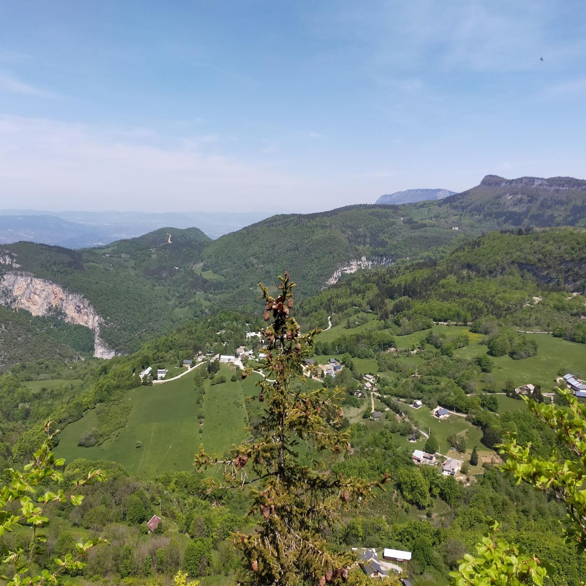
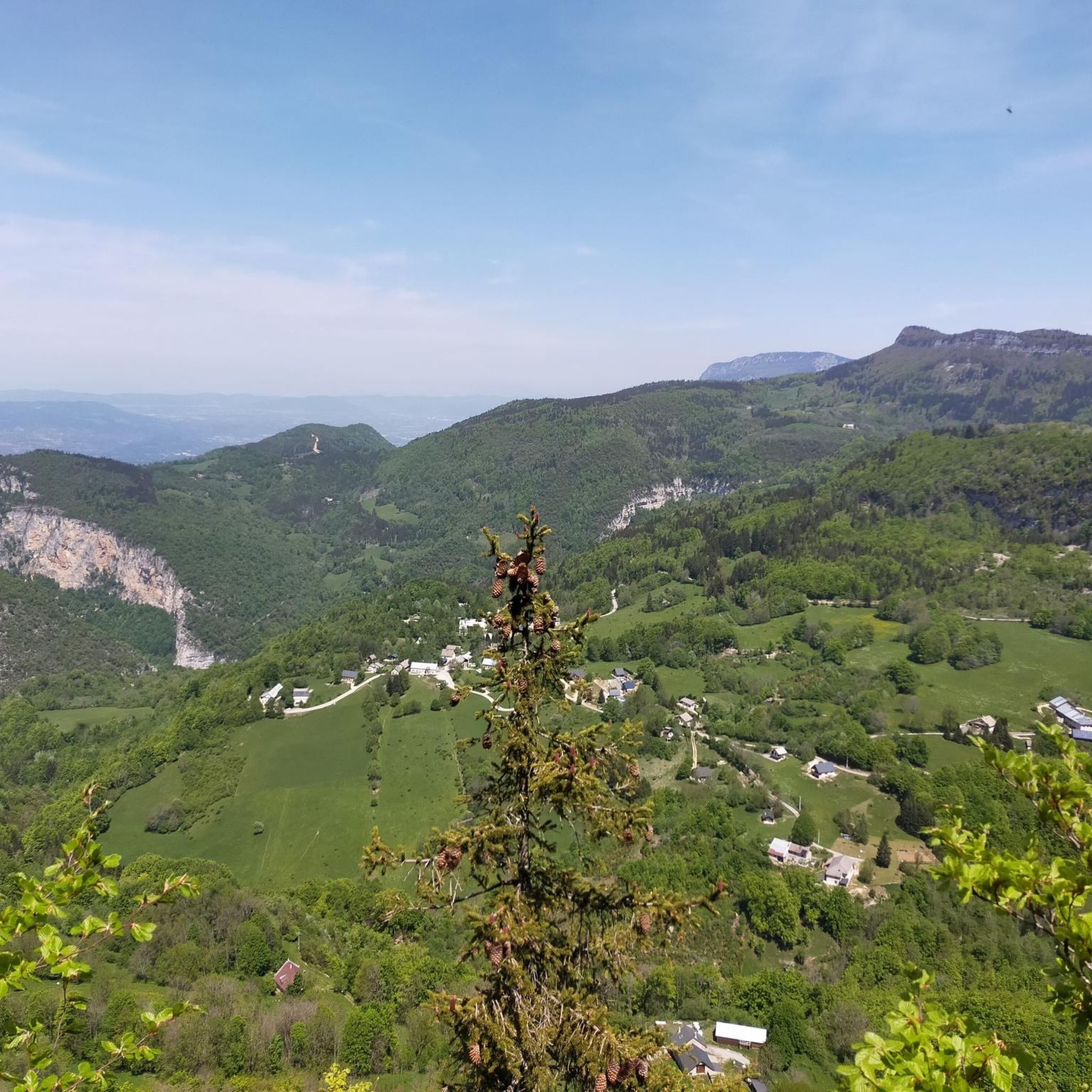
A laid out flat, with occasional views of the Isère and the ver c ors, but frankly a bit boring and frankly along the highway. The crossed rest area looked nice but was crowded with people. The charging and repair station was out of order.
0
0

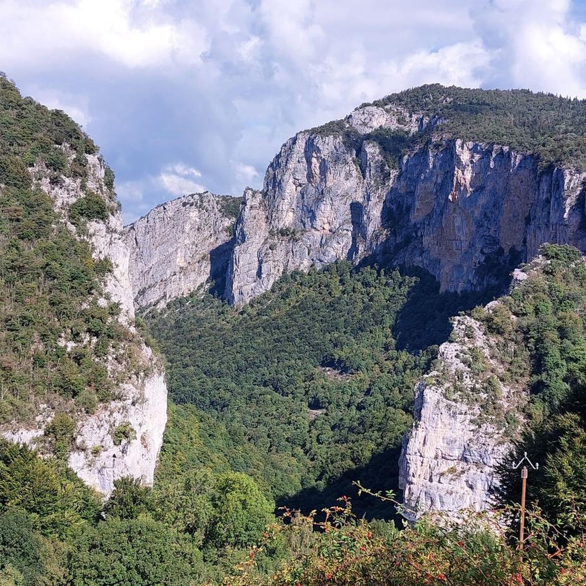
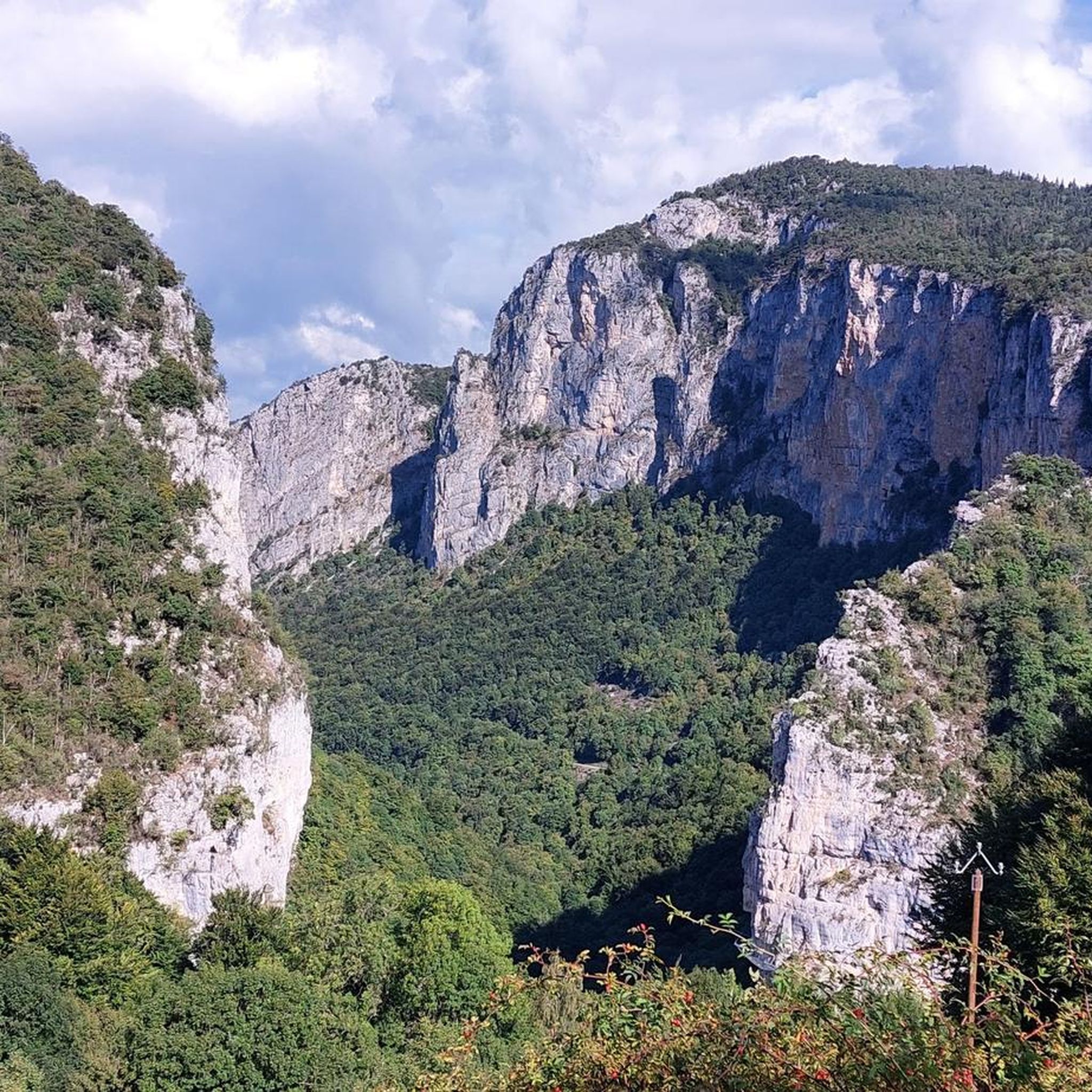
The Col de Romeyère is a mountain pass located at an altitude of 1,074 meters. It connects the Isère valley and the Bourne gorges, passing through the Route des Écouges.
0
0
The Étang de Mayoussard is a 4-hectare body of water located near the commune of Moirans. It is a natural site highly appreciated by local fishermen for its tranquility and the variety of its fish species.
0
0
La Véloroute de l'Isère, officially integrated into the national route La Belle Via (referenced under number V63), is a cycling route of over 200 kilometers that runs along the Isère river. It connects the foothills of Savoie to the Drôme (connection with ViaRhôna), by crossing the entire department of Isère and its capital, Grenoble.
0
0
The Véloroute de l'Isère, officially integrated into the national route La Belle Via (referenced under number V63), is a cycling route of over 200 kilometers that runs along the Isère river. It connects the foothills of Savoie to the Drôme (connection with ViaRhôna), crossing the entire department of Isère and its capital, Grenoble.
0
0
The Véloroute de l'Isère, officially integrated into the national route La Belle Via (referenced under number V63), is a cycling route of over 200 kilometers that runs along the Isère river. It connects the foothills of Savoie to the Drôme (connection with ViaRhôna), by crossing the entire department of Isère and its capital, Grenoble.
0
0
The Véloroute de l'Isère, officially integrated into the national La Belle Via route (referenced under number V63), is a cycling route of over 200 kilometers that runs along the Isère river. It connects the foothills of Savoie to the Drôme (connection with ViaRhôna), crossing the entire Isère department and its capital, Grenoble.
0
0
Frequently Asked Questions
How many touring cycling routes are available around Malleval-En-Vercors?
There are over 170 touring cycling routes in the Malleval-En-Vercors area, catering to various skill levels from easy to difficult.
Are there easy touring cycling routes suitable for beginners in Malleval-En-Vercors?
Yes, Malleval-En-Vercors offers 23 easy touring cycling routes. These routes typically feature gentler gradients and are suitable for those new to touring cycling or looking for a relaxed ride.
What is the best time of year for touring cycling in Malleval-En-Vercors?
The best time for touring cycling in Malleval-En-Vercors is generally from spring to autumn. During these seasons, the weather is milder, and the natural landscapes, including the walnut groves and river valleys, are at their most inviting. Summer can be warm, especially in the valleys, while higher passes might be snow-covered in winter.
Are there circular touring cycling routes around Malleval-En-Vercors?
Many touring cycling routes in the region are designed as loops. For instance, Les noyeraies de l'Isère — loop in the foothills of the Parc Naturel Régional du Vercors is a popular circular route exploring the local walnut groves.
Which touring cycling routes offer the best scenic views of the Vercors massif?
For impressive views of the Vercors massif, consider routes like Isère cycle route – View of the Vercors massif loop from Rovon. This route provides panoramic perspectives as you cycle along the Isère river.
What kind of terrain can I expect on touring cycling routes in Malleval-En-Vercors?
The terrain around Malleval-En-Vercors is varied, ranging from flat sections along river valleys like the Isère to rolling hills through agricultural areas with walnut groves, and more challenging ascents towards mountain passes within the Parc Naturel Régional du Vercors. You'll encounter a mix of paved roads and sometimes well-maintained gravel paths.
Are there any notable natural attractions or landmarks to see along the touring cycling routes?
Yes, the region is rich in natural beauty. You can explore stunning gorges such as Choranche or Gorges de la Bourne. For those seeking mountain vistas, routes may pass by significant mountain passes like Col de Romeyère or Col de Mont Noir (Pass, 1431m).
Can I find touring cycling routes that pass through charming villages or offer refreshment stops?
Many routes in the Malleval-En-Vercors area will take you through or near small villages where you can find local amenities, including cafes and restaurants. The region's agricultural heritage, particularly its walnut production, means you might find opportunities to sample local produce.
What do other touring cyclists say about the routes in Malleval-En-Vercors?
The touring cycling routes in Malleval-En-Vercors are highly regarded by the komoot community, with an average rating of 4.6 stars from over 270 reviews. Cyclists often praise the diverse landscapes, from river valleys to mountain views, and the well-maintained paths.
Are there any challenging touring cycling routes for experienced riders?
Absolutely. Malleval-En-Vercors offers 95 difficult touring cycling routes. An example is the Col de Mont Noir (Pass, 1431m) – Col de Romeyère loop from Rencurel, which involves significant elevation gain and is suited for experienced cyclists seeking a demanding ride.
Are there touring cycling routes that explore the walnut groves of the Isère region?
Yes, the region is famous for its walnut groves. The Walnut Groves in the Vercors – Izeron bridge loop from Rovon is a moderate route that specifically highlights this agricultural landscape, offering a pleasant ride through the orchards.
What are the typical durations for touring cycling routes in Malleval-En-Vercors?
Route durations vary significantly based on distance and difficulty. For example, a moderate route like Les noyeraies de l'Isère typically takes around 2 hours 29 minutes, while longer, more difficult routes can take 3 hours or more.
Most popular routes around Malleval-En-Vercors
Most popular attractions around Malleval-En-Vercors

Get inspired with the komoot mobile app


Explore more
Browse the best Cycling routes in other regions.
