The best walks and hikes around Goxweiler
4.5
(5464)
27,419
hikers
843
hikes
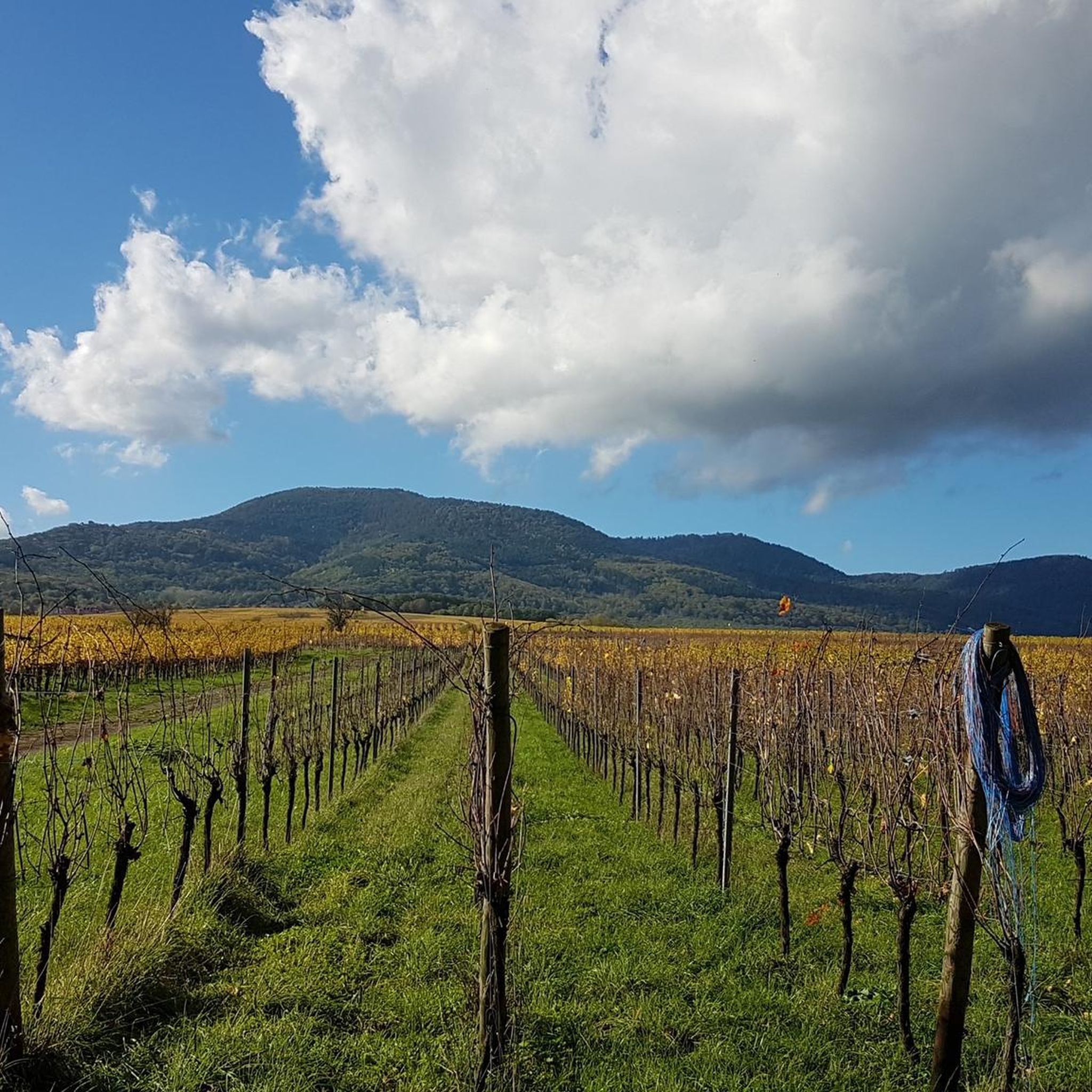
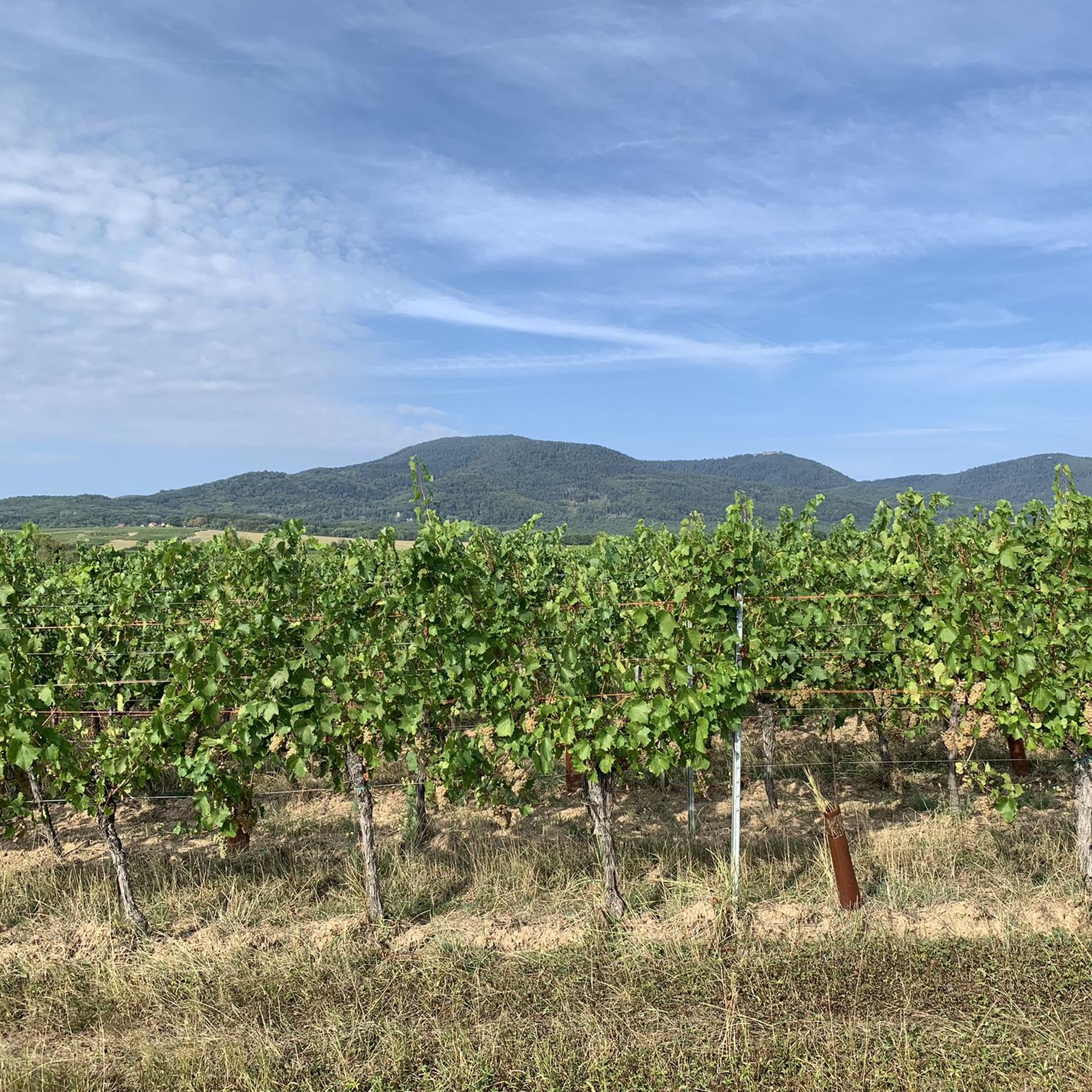
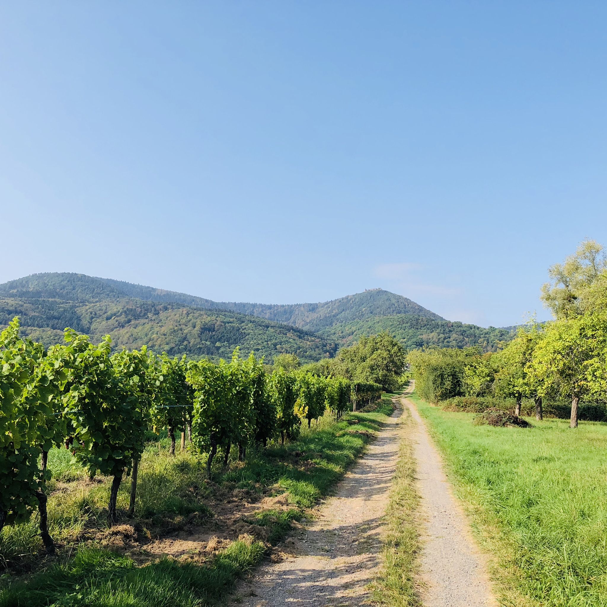
Hiking around Goxweiler offers diverse landscapes, including picturesque vineyards, dense forests, and rolling hills. The region provides varied terrain, from gentle village paths to more challenging routes through elevated areas. From higher vantage points, hikers can observe the vast Plain of Alsace.
Best hiking trails around Goxweiler
- The most popular hiking route is Truttenhausen Abbey – Rosenberg loop from Heiligenstein, an easy 3.2 miles (5.2 km) trail that takes about 1 hour 30 minutes to complete, passing by historical…
Last updated: October 28, 2026
4.6
(5)
60
hikers
5.88km
01:42
160m
160m
Easy hike. Easily walkable paths.
4.2
(6)
44
hikers
8.87km
02:42
310m
310m
Moderate hike. Good fitness required. Easily walkable paths.

4.7
(3)
14
hikers
27.9km
08:05
690m
690m
Hard hike. Very good fitness required. Easily walkable paths.
5.0
(3)
13
hikers
4.92km
01:24
120m
120m
Easy hike. Easily walkable paths.
8
hikers
4.51km
01:18
110m
110m
Easy hike. Easily walkable paths.
Get access to more routes and recommendations from other explorers.
Already have an account?
Our route recommendations are based on thousands of hikes, rides, and runs completed by other people on komoot.
Start today with a free account
Your next adventure awaits.

Tips from the Community

Striking rock with a view of the Rhine valley and the Black Forest
0
0
The monumental ceramic Way of the Cross on Mont Sainte-Odile (French: Chemin de Croix du Mont Sainte-Odile) was created between 1933 and 1935 by the renowned Alsatian artist and master ceramicist Léon Elchinger (1871–1942). From an art historical perspective, it is considered one of the most significant and ambitious masterpieces of sacred ceramic art in Alsace.
0
0

A place with a very special atmosphere.
0
0

Unique how the craftsmanship has proven itself here.
0
0

beautiful path below the impressive rocks
2
0

Opening hours daily: 9:00 - 12:00 and 14:00 - 18:00.
0
0


Great church building, unfortunately the church was closed
0
0
Frequently Asked Questions
How many hiking trails are available around Goxwiller?
There are over 800 hiking routes around Goxwiller, offering a wide range of options for different skill levels and preferences. This includes over 400 easy trails, 340 moderate routes, and 70 more challenging hikes.
What kind of landscapes can I expect to see while hiking near Goxwiller?
Hiking around Goxwiller offers diverse landscapes, including picturesque vineyards, dense forests, and rolling hills. From higher vantage points, you can enjoy panoramic views of the vast Plain of Alsace and, on clear days, even catch glimpses of the Black Forest in Germany.
Are there any family-friendly hiking options in Goxwiller?
Yes, Goxwiller offers numerous easy trails suitable for families. For instance, the Truttenhausen Abbey – Rosenberg loop from Heiligenstein is an easy 3.2-mile (5.2 km) trail that takes about 1 hour 30 minutes to complete, passing by historical abbey grounds.
What are some notable landmarks or historical sites accessible via hiking trails?
Many trails lead to significant cultural and historical sites. You can explore the ruins of the 12th-century Château du Landsberg, or visit the Couvent du Bischenberg for scenic views. The region also features Mont Sainte-Odile, home to the Hohenbourg Abbey. For a challenging route that includes a castle, consider the Landsberg Castle – Oberkirch Rock loop from Goxwiller.
What do other hikers say about the trails in Goxwiller?
The routes in Goxwiller are highly rated by the komoot community, with an average score of 4.6 stars from over 4,000 reviews. Hikers often praise the varied terrain, the beautiful vineyard scenery, and the well-maintained paths that lead to stunning viewpoints.
Are there any natural monuments or unique natural features to discover?
Yes, the area boasts several interesting natural features. You can visit the Saint Odile's Spring or the impressive Rocher des Géants. The Verlorenes Eck Stone Circle is another unique natural monument worth exploring.
Are there any circular hiking routes available?
Yes, many trails in the Goxwiller area are circular, allowing you to start and end at the same point. An example is the Truttenhausen Abbey – Bear fountain loop from Heiligenstein, an easy 2.8-mile (4.5 km) route.
What is the best time of year to go hiking in Goxwiller?
Goxwiller offers enjoyable hiking experiences throughout much of the year. Spring and autumn are particularly pleasant, with mild temperatures and vibrant colors in the vineyards and forests. Summer is also popular, though some trails may be more exposed to the sun. Winter hiking is possible, but conditions can vary, especially at higher elevations.
Are there any trails that offer great views of the vineyards?
Absolutely. Goxwiller is nestled in a wine-growing region, and many paths traverse picturesque vineyards. The View of Barr and Its Vineyards – Truttenhausen Abbey loop from Goxwiller is a moderate 9.8-mile (15.8 km) trail specifically designed to showcase these scenic vineyard vistas.
Where can I find places to rest or shelter along the trails?
Some routes include or pass near huts and shelters. For example, the Velroneck Shelter and Merlin's Garden and the Ochsenlaeger Forest House are available for hikers seeking a break.
Can I reach hiking trails in Goxwiller using public transport?
While specific public transport connections to every trailhead can vary, Goxwiller and its surrounding villages are generally accessible by local bus services. It's advisable to check local transport schedules for the most up-to-date information on reaching specific starting points.
Are there options for less crowded hikes around Goxwiller?
With over 800 trails, it's possible to find quieter routes, especially during off-peak hours or by exploring some of the lesser-known paths. While popular routes offer stunning views, many of the region's forest and vineyard trails provide a peaceful hiking experience away from the crowds.
Most popular routes around Goxweiler
Most popular attractions around Goxweiler

Get inspired with the komoot mobile app


Explore more
Browse the best Hikes in other regions.
