The best walks and hikes around Mévouillon
4.7
(370)
1,818
hikers
114
hikes
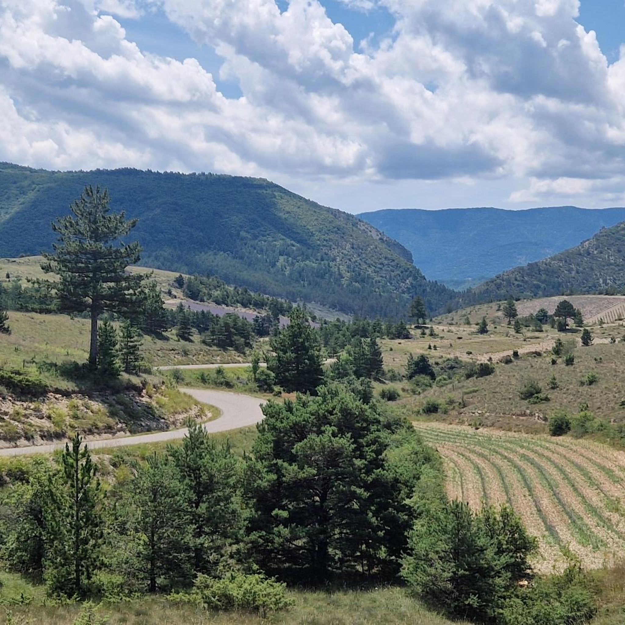
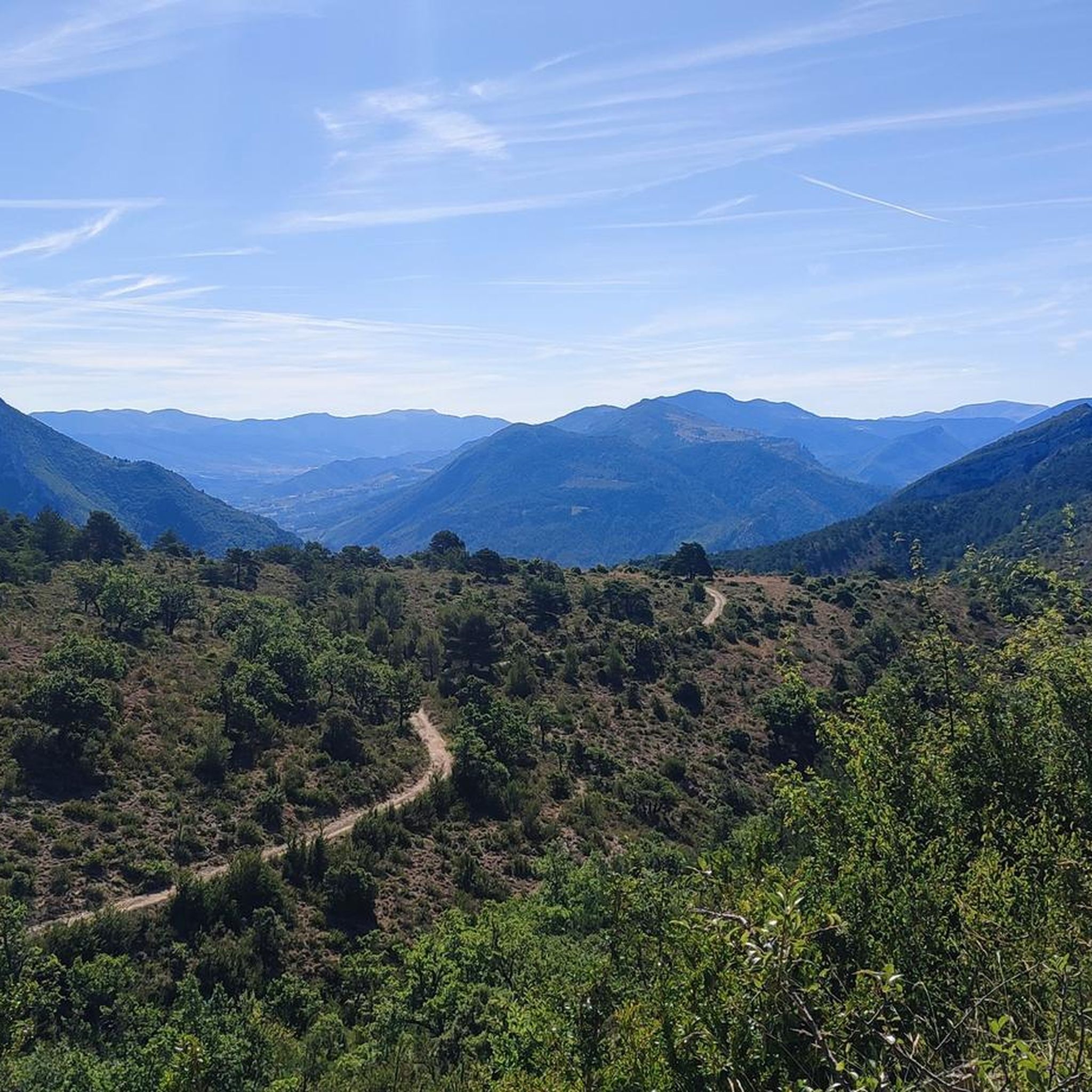
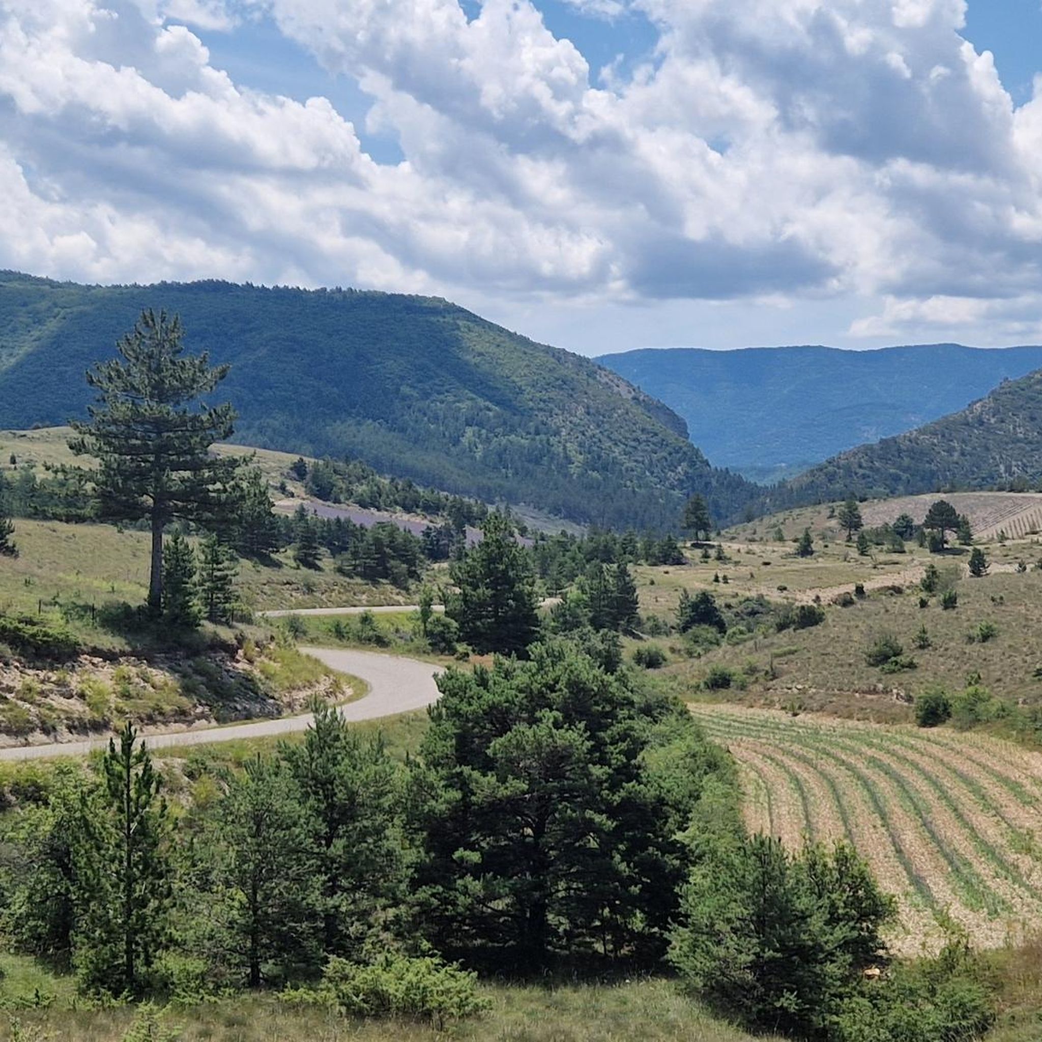
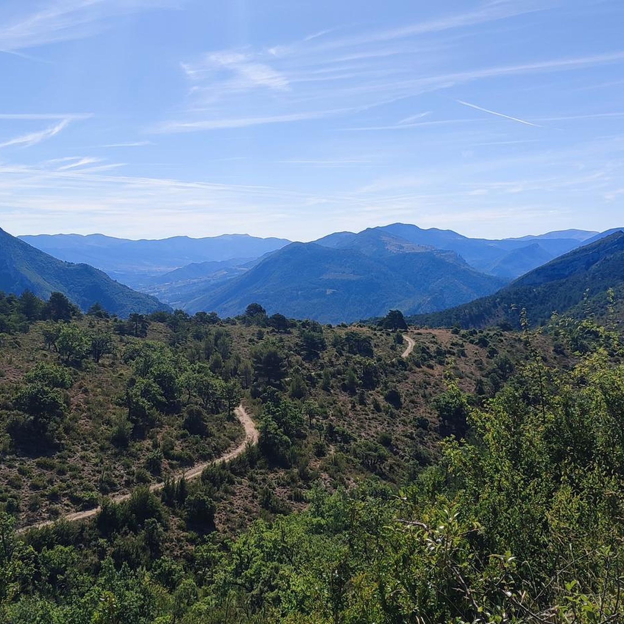
Hiking around Mévouillon offers diverse terrain characterized by mountainous landscapes and impressive limestone cliffs. The region is situated within the Regional Natural Park of Baronnies Provençales, featuring expansive views across the Méouge and Ouvèze valleys. Hikers can explore areas with significant hydrological features and discover the renowned lavender fields that define the local scenery.
Best hiking trails around Mévouillon
- The most popular hiking route is View of Aulan – Le Poët-en-Percip loop from Montbrun-les-Bains, a 12.2 miles (19.6 km)…
Last updated: September 28, 2026
5.0
(4)
23
hikers
16.2km
05:02
520m
520m
Hard hike. Very good fitness required. Sure-footedness, sturdy shoes and alpine experience required.
5.0
(4)
14
hikers
15.2km
05:04
750m
740m
Hard hike. Very good fitness required. Easily-accessible paths. Suitable for all skill levels.

17
hikers
3.82km
01:21
220m
220m
Easy hike. Great for any fitness level. Easily-accessible paths. Suitable for all skill levels.
4.8
(4)
11
hikers
11.2km
03:27
380m
380m
Moderate hike. Good fitness required. Easily-accessible paths. Suitable for all skill levels.
3.0
(1)
12
hikers
5.32km
01:43
230m
230m
Easy hike. Great for any fitness level. Easily-accessible paths. Suitable for all skill levels.
Get access to more routes and recommendations from other explorers.
Already have an account?
Our route recommendations are based on thousands of hikes, rides, and runs completed by other people on komoot.
Start today with a free account
Your next adventure awaits.
Tips from the Community

Magnificent landscapes and incredible coolness so early in the morning
0
0

Quiet pass with relatively little road traffic.
0
0

The gorges and the pass are both magnificent
0
0

A very beautiful climb from Montbrun, not too difficult, on a narrow but little-used road. It's wild and beautiful.
0
0

beautiful view of Mont Ventoux and Aulan Castle
1
0

This beautiful viewpoint allows you to admire Aulan, nestled in the heart of the Baronnies mountains. All around we can see the Buc mountain, the Mévouillon rock and the Croc mountain.
0
0

Le Poët-en-Percip takes its name from its position (poët, which is a distortion of the Latin podium, meaning “mound”) and also from its first lordship, Domina Percipia. She is the one who is at the origin of the Mévouillon dynasty. It was in 1266 that in his honor the Poet was named en-Percip. This perched village was once a stopover on the old busy road which linked Buis to the highlands. Only one road leads to the village, which helps maintain this peaceful place.
1
0
Located at an altitude of 948 meters, this pass serves as an administrative boundary between the municipalities of Plaisians, Poët-en-Percip and Aulan. It offers a view of the various surrounding mountains. To the southeast, from left to right: the Buc mountain (1,442 meters), the Seuil (1,311 meters) and the Summit of the Col de Lérol (1,263 meters). To the northwest, the rocks of Trapes Loube (999 meters) and the Rochers Mindrits (1,114 meters).
0
0
Frequently Asked Questions
What kind of terrain can I expect on hikes around Mévouillon?
Hiking around Mévouillon features diverse terrain, primarily characterized by mountainous landscapes and impressive limestone cliffs. You'll find paths traversing forests, creeks, and gorges, often leading to stunning panoramic views across the Méouge and Ouvèze valleys, and even extending to Mont Ventoux. The region is also known for its beautiful lavender fields, especially vibrant in July and August.
How many hiking routes are available in the Mévouillon area?
There are over 100 hiking routes available around Mévouillon. This includes a wide range of options, with approximately 30 easy trails, nearly 60 moderate paths, and over 10 more challenging routes, ensuring there's something for every skill level.
Are there any easy hiking trails suitable for beginners or casual walkers?
Yes, Mévouillon offers several easy hiking trails. For example, the Mévouillon Rock loop from Chapelle Sainte-Bernadette is an easy 5.3 km (3.3 miles) route that can be completed in about 2 hours, offering a pleasant walk without significant elevation gain.
What are some notable natural attractions or viewpoints I can discover while hiking?
The Mévouillon area is rich in natural beauty. Hikers can enjoy expansive views from various points, including those overlooking the Méouge and Ouvèze valleys. Don't miss the opportunity to see the famous lavender fields, particularly from viewpoints like View of the lavender fields. Other natural highlights include Montagne de Vic and the dramatic The Toulourenc Valley.
Are there any historical sites or landmarks to visit on a hike?
Yes, the region has historical significance. The site of the former Fort de Mévouillon, though largely in ruins, offers a historical point of interest and is worth visiting for the walk alone. You might also encounter charming churches, such as the Eglise de Barbantane, nestled amidst lavender fields at the foot of the Mévouillon cliffs.
What do other hikers say about the trails in Mévouillon?
The hiking trails in Mévouillon are highly regarded by the komoot community, holding an average rating of 4.7 stars from over 260 reviews. Hikers often praise the stunning panoramic views, the diverse landscapes ranging from cliffs to lavender fields, and the well-maintained network of trails that cater to various abilities.
Are there any circular hiking routes in Mévouillon?
Yes, many routes in Mévouillon are designed as loops, allowing you to start and end in the same location. An example is the Col d'Aulan – Mévouillon Rock loop from Aulan, a moderate 11.2 km (7.0 miles) trail that takes about 3 hours 27 minutes to complete.
When is the best time of year to go hiking in Mévouillon?
The best time for hiking in Mévouillon is generally from spring to early autumn. The lavender fields are particularly vibrant and fragrant in July and August, offering a stunning backdrop for walks. Spring and early summer provide pleasant temperatures and lush landscapes, while autumn brings beautiful colors to the forests.
Are there any family-friendly hiking options in Mévouillon?
While specific trails for toddlers aren't highlighted, many of the easy and shorter moderate routes can be suitable for families. Look for trails with lower elevation gain and shorter distances, such as the Mévouillon Rock loop from Chapelle Sainte-Bernadette, which offers a manageable distance for a family outing.
Can I bring my dog on the hiking trails in Mévouillon?
The Regional Natural Park of Baronnies Provençales, where Mévouillon is located, generally welcomes dogs on trails, provided they are kept on a leash to protect wildlife and respect other hikers. Always check specific trail regulations or local signage, especially in nature reserves, to ensure compliance.
Where can I find parking for hiking trails near Mévouillon?
Parking is typically available at the start points of many popular trails and in the villages surrounding Mévouillon. For instance, routes starting from Aulan or Chauvac-Laux-Montaux usually have designated parking areas. It's advisable to check the specific route details on komoot for parking information related to your chosen trail.
Are there any challenging hikes for experienced trekkers?
Yes, Mévouillon offers several challenging routes for experienced hikers. The View of Aulan – Le Poët-en-Percip loop from Montbrun-les-Bains is a difficult 19.6 km (12.2 miles) trail with significant elevation gain, taking over 6 hours to complete and offering panoramic views. Another demanding option is the Izon Pass – Chamouse Mountain loop from Chauvac-Laux-Montaux, a 15.6 km (9.7 miles) difficult path.
Most popular attractions around Mévouillon

Get inspired with the komoot mobile app


Explore more
Browse the best Hikes in other regions.
