The best walks and hikes around Caluire-Et-Cuire
4.4
(423)
3,178
hikers
32
hikes
Hiking around Caluire-Et-Cuire offers diverse landscapes situated between the Rhône and Saône rivers. The region features a unique topography with a plateau, hills, and riverbanks, providing varied terrain for outdoor activities. Natural features include riverside paths, greenways, and elevated viewpoints offering panoramas of the surrounding valleys and the city of Lyon. The area also incorporates numerous green spaces and gardens.
Best hiking trails around Caluire-Et-Cuire
- The most popular hiking route is Cabornes Sector – Mount Thou loop from Cuire,…
Last updated: August 5, 2026
4.7
(6)
39
hikers
22.3km
06:35
640m
640m
Hard hike. Very good fitness required. Easily-accessible paths. Suitable for all skill levels.
4.7
(11)
417
hikers
Moderate hike. Good fitness required. Easily-accessible paths. Suitable for all skill levels.

Sign up for free
18
hikers
3.88km
01:01
30m
30m
Easy hike. Great for any fitness level. Easily-accessible paths. Suitable for all skill levels.
16
hikers
4.00km
01:03
30m
30m
Easy hike. Great for any fitness level. Easily-accessible paths. Suitable for all skill levels.
15
hikers
3.50km
00:55
20m
20m
Easy hike. Great for any fitness level. Easily-accessible paths. Suitable for all skill levels.
Get access to more routes and recommendations from other explorers.
Sign up for free
Already have an account?
Our route recommendations are based on thousands of hikes, rides, and runs completed by other people on komoot.
Start today with a free account
Your next adventure awaits.
Login or Signup
Tips from the Community

beautiful park towards Tete d'Or
0
0

whether for a walk, a run or a picnic, this park is ideally well done and the icing on the cake is that you can see the panther at the zoo
0
0

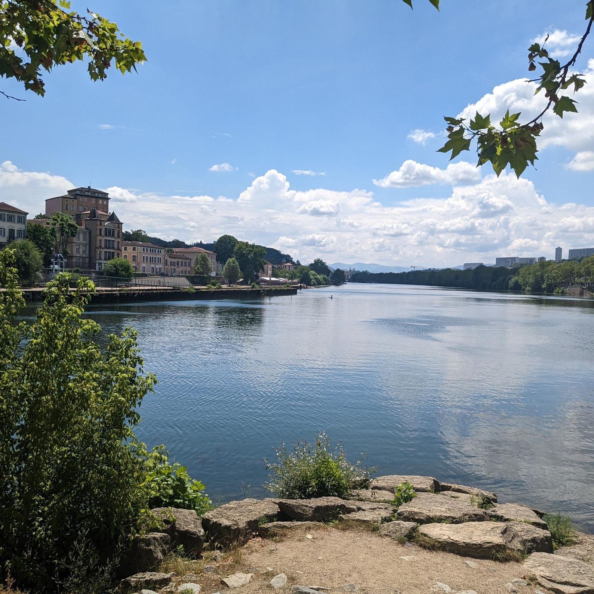
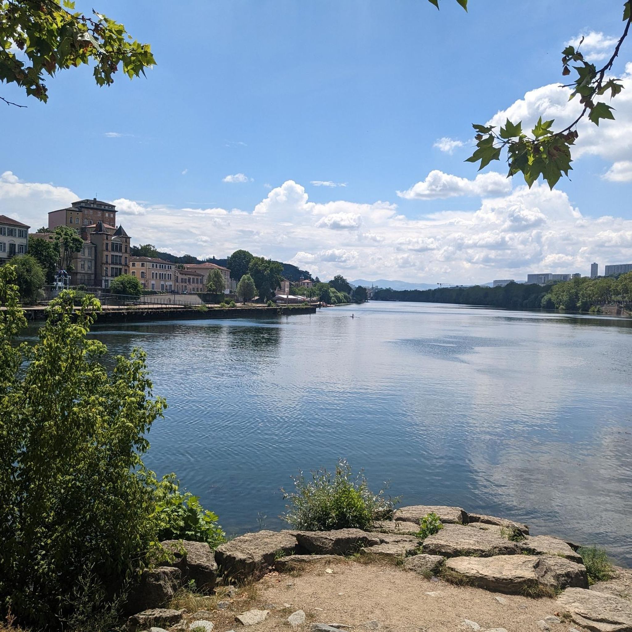
Directly next to the path rises the massive riverbank fortification. The massive structure appears much more welcoming thanks to the small, yet beautiful, colorful sculptures that are set into the wall at regular intervals.
0
0

In the north of the Lyon urbanization, the greenway crosses the city to offer a quiet break to cyclists, walkers and also runners. Its straight route is perfect for doing interval training.
0
0

Magnificent site nestled in the green setting of Mount Cindre. From the hermitage the panorama of the metropolis of Lyon and its surroundings is magnificent.
0
0

Mont Thou offers an exceptional panoramic view with an orientation table to identify the different points of interest. This site has a long history of observation and defense, used for centuries to monitor the surrounding area and protect local inhabitants.
0
0
This hike takes you to discover the cabornes, dry stone shelters typical of the Monts d’Or region. These huts were used by farmers to store their tools and rest. The hike offers panoramic views and passes through varied landscapes, including forests and fields. It’s an excellent way to discover the rural and natural heritage of the region.
2
0

Mont Thou is the second highest peak in the Monts d'Or. It peaks at an altitude of 611 meters and offers a breathtaking view of the Saône and Lyon further south. It is easily accessible by car or on foot.
2
2
Frequently Asked Questions
How many hiking trails are available in Caluire-et-Cuire?
Caluire-et-Cuire offers a network of over 30 hiking trails, catering to various preferences and fitness levels. These routes explore the diverse landscapes between the Rhône and Saône rivers, including riverside paths, greenways, and hilly terrain.
What kind of natural features can I expect to see while hiking in Caluire-et-Cuire?
The region is characterized by its unique topography, offering scenic paths along the Rhône and Saône rivers, including the 'Rives de Saône - Chemin Nature' with art installations. You'll also find the 'Voie Verte' (Greenway), a shaded former railway line, and numerous hills like Mont Thou and Croix de Rampau, providing panoramic views of the valleys and Lyon.
Are there easy hiking trails suitable for beginners or casual walkers?
Yes, Caluire-et-Cuire has plenty of easy trails. Out of the over 30 routes, 20 are classified as easy. An excellent option is the Gate of the Children of the Rhône – Lake of Parc de la Tête d'Or loop from Caluire-et-Cuire, an easy 7.7 km path offering a mix of urban green spaces and lakeside scenery. Another accessible choice is the Grüner Pfad – Saône Riverbanks loop from Caluire-et-Cuire, a 4.1 km route along the river.
Can I find circular hiking routes in Caluire-et-Cuire?
Many of the trails in Caluire-et-Cuire are designed as loops, allowing you to start and end at the same point. Examples include the challenging Cabornes Sector – Mount Thou loop from Cuire, which offers significant elevation gain, or the moderate Barbe Island – Towards Île de Barbe loop from Cuire.
What are some notable landmarks or points of interest along the hiking trails?
Hikers can discover various points of interest. You might encounter the beautiful Mont Thou, offering magnificent views, or enjoy the riverside paths near View of Île Barbe. The city also boasts green spaces like the Roseraie de Saint-Clair and the historic La Sablière estate, which blends historical and natural interest. For more information on La Sablière, you can visit culture.gouv.fr.
Are there any challenging or long-distance hikes in the area?
For those seeking a more strenuous experience, the Cabornes Sector – Mount Thou loop from Cuire is classified as difficult. This 21.7 km trail features significant elevation gain and takes approximately 6 hours and 25 minutes to complete, offering continuous vistas along the ridge line of Mont Thou.
What do other hikers say about the trails in Caluire-et-Cuire?
The hiking trails in Caluire-et-Cuire are highly regarded by the komoot community, with an average rating of 4.3 stars from over 370 reviews. Hikers often praise the diverse landscapes, the accessibility of the trails, and the beautiful panoramic views of Lyon and the surrounding valleys.
Are there any trails that offer great scenic viewpoints?
Absolutely. Caluire-et-Cuire's hilly terrain provides numerous viewpoints. Mont Thou is a popular destination for its magnificent views of the Saône valley and the Rhône. Additionally, Croix de Rampau offers a panorama over the Beaujolais region, the Saône valley, and the Ain plain, while various points within the city provide impressive unobstructed views of Lyon and even the Alps.
Can I combine hiking with exploring urban green spaces?
Yes, many routes seamlessly blend natural and urban environments. The Cité Internationale de Lyon loop from Caluire-et-Cuire is a 6.6 km trail that leads through urban parkland and along the Rhône riverbanks, perfect for combining a walk with city exploration.
What is the best time of year to go hiking in Caluire-et-Cuire?
Caluire-et-Cuire's trails can be enjoyed throughout much of the year. Spring and autumn offer pleasant temperatures and vibrant scenery, with the Roseraie de Saint-Clair being particularly beautiful in bloom. Summer provides lush green landscapes, though riverside paths offer cooler options. Even in winter, the trails can be accessible, especially the well-maintained Voie Verte.
Are there any specific trails that highlight the rivers?
The region is defined by its two rivers, the Rhône and Saône. You can find numerous 'chemin nature' (nature paths) along their banks. The 'Rives de Saône - Chemin Nature' is particularly notable for its art installations. The Grüner Pfad – Saône Riverbanks loop from Caluire-et-Cuire is a great option to experience the tranquil beauty of the Saône.
Most popular routes around Caluire-Et-Cuire
Most popular attractions around Caluire-Et-Cuire

Get inspired with the komoot mobile app


Explore more
Browse the best Hikes in other regions.
