The best MTB trails around Bobenthal
4.6
(5065)
19,060
riders
446
rides
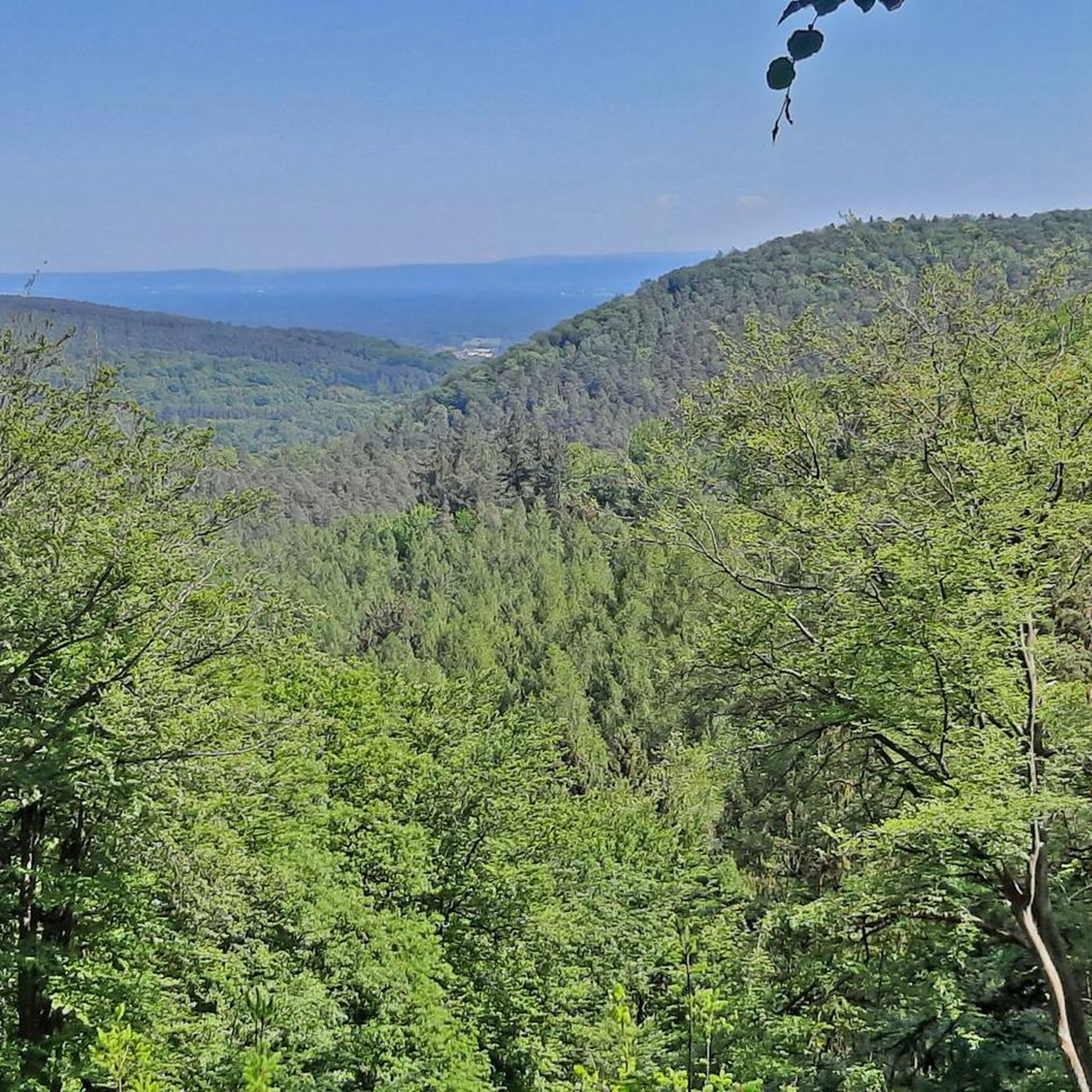
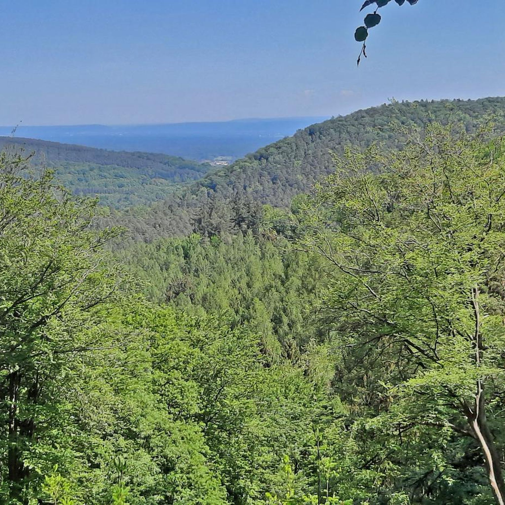
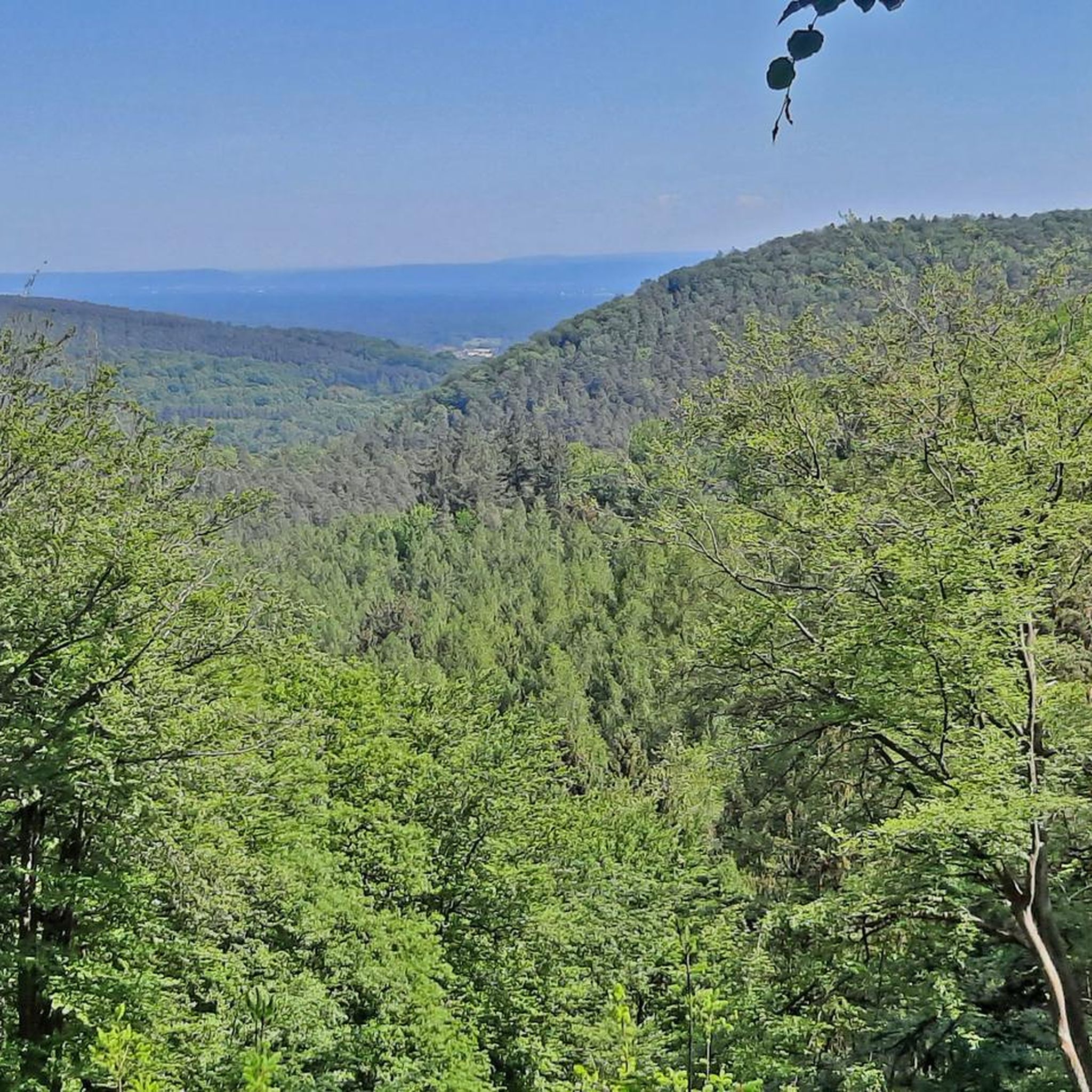
Mountain biking around Bobenthal offers diverse landscapes within the Palatinate Forest, Germany's largest contiguous forest area. The region features an extensive network of single trails, pine forests, and distinctive rock formations, with significant elevation changes. Riders can expect varied terrain, from flowing paths to challenging rock and switchback trails, often accompanied by scenic rivers like the Wieslauter. Historical castle ruins are also integrated into many routes, providing cultural points of interest.
Best mountain bike trails around Bobenthal
- The most popular…
Last updated: September 29, 2026
4.7
(25)
208
riders
26.4km
03:04
950m
950m
Hard mountain bike ride. Very good fitness required. Advanced riding skills necessary. Some portions of the route may require you to push your bike.
4.9
(7)
21
riders
42.2km
03:16
570m
570m
Moderate mountain bike ride. Good fitness required. Advanced riding skills necessary.

5.0
(3)
11
riders
52.1km
05:19
1,410m
1,410m
Hard mountain bike ride. Very good fitness required. Advanced riding skills necessary.
4.4
(8)
16
riders
36.3km
03:54
1,090m
1,090m
Hard mountain bike ride. Very good fitness required. Advanced riding skills necessary.
4.5
(4)
27
riders
21.4km
02:24
670m
680m
Hard mountain bike ride. Good fitness required. Advanced riding skills necessary. Some portions of the route may require you to push your bike.
Get access to more routes and recommendations from other explorers.
Already have an account?
Our route recommendations are based on thousands of hikes, rides, and runs completed by other people on komoot.
Start today with a free account
Your next adventure awaits.
Tips from the Community

In my opinion, this is the most beautiful trail on the VTT Scherhol Runde. Nothing that makes you scared, just "shredding".
0
0
From "Eta...." super described. In the meantime, there is also signage
1
0
The Cigogne Trail is a very steep S2-S3 (more towards S3) trail, which imo requires perfect ground conditions. Definitely not for beginners! However, there is a blue variant (go left) which you can still decide on at the top. Then it's a case of, he who has the choice.... This trail is definitely the most difficult on the VTT loop. If you do this one first on the loop, I can tell you now, nothing harder is coming.
0
0

We participated in a guided tour that lasted 2 hours (bring a sweater as it is cool in there!), which allowed us to discover all the ingenuity of these Maginot forts. A great discovery.
0
0


The Wegelnburg Castle is located at an altitude of 572 meters, stretching along a mountain ridge. It is the highest castle complex in the Palatinate region, offering panoramic views over the Palatinate Forest/Northern Vosges Biosphere Reserve. This imperial fortress was built in the 12th/13th centuries. Remains of gates, buildings, large rock chambers, and surrounding walls are worth seeing.
4
0

A truly idyllic setting. A hotel run by the entire family with love and dedication. Excellent food, a great location for hikes and bike rides—and then a refreshing dip in the pool.
0
0

No question! "Superb MTB Highlight" 👍
1
0
Frequently Asked Questions
How many mountain bike trails are available around Bobenthal?
Bobenthal offers a vast network of mountain bike trails, with over 470 routes to explore. These include a diverse range of difficulties, with approximately 60 easy routes, over 300 moderate trails, and more than 100 challenging options for experienced riders.
What kind of terrain can I expect on mountain bike trails in Bobenthal?
The trails around Bobenthal, nestled in the Palatinate Forest, are characterized by flowing single trails, dense pine forests, and distinctive rock formations. You'll encounter significant elevation changes, with some routes featuring up to 3,000 feet of gain, and scenic sections alongside rivers like the Wieslauter. The Dahner Felsenland area, in particular, offers challenging rock and switchback trails with panoramic views.
Are there any challenging mountain bike trails for advanced riders?
Yes, Bobenthal is known for its challenging routes. For instance, the Loewenstein Castle Ruins – Hohenbourg Castle loop from Climbach is a difficult 26.2-mile (42.2 km) path that explores historical castle ruins amidst demanding terrain. Another difficult option is the Ruins of Guttenberg Castle – Berwartstein Castle loop from Climbach, covering over 33 miles (53.5 km) with significant elevation.
Can I find mountain bike trails that pass by historical sites or castles?
Absolutely. The region is rich in history, and many mountain bike routes incorporate visits to impressive castle ruins. The Loewenstein Castle Ruins – Hohenbourg Castle loop from Climbach is a prime example, leading past ancient structures. You can also explore routes that pass by Col de Hohenbourg or the View from Wegelnburg Castle – View of Fleckenstein Castle loop from Nothweiler, offering both scenic views and historical immersion.
What is the best time of year for mountain biking in Bobenthal?
While mountain biking is enjoyable throughout much of the year, summer offers ideal conditions with pleasant weather for exploring the diverse landscapes. The Palatinate Forest's dense tree cover can also provide welcome shade on warmer days. However, the region's beauty can be appreciated in spring and autumn as well, with vibrant foliage and cooler temperatures.
Are there any scenic routes that offer great views?
Many routes in Bobenthal are incredibly scenic. The region's distinctive rock formations and elevated points like the Hoher Eyberg and Römerfels offer picturesque views. The Dahner Felsenland, in particular, provides panoramic vistas across the Palatinate Forest. The View from Wegelnburg Castle – View of Fleckenstein Castle loop from Nothweiler is a great option for stunning outlooks.
What do other mountain bikers say about the trails in Bobenthal?
The mountain bike trails around Bobenthal are highly regarded by the komoot community, boasting an average rating of 4.6 stars from over 4,200 reviews. Many riders describe the area as 'Disneyland for mountain bikers' due to the high proportion of flowing single trails and the engaging, varied terrain.
Are there any mountain bike routes that are circular?
Yes, many of the mountain bike routes around Bobenthal are designed as loops, allowing you to start and end at the same point. Examples include the popular Himmelsleiter Trail – Stäffelsberg Trail loop from Reisdorf and the Étang de Fleckenstein – Saegemuehle loop from Climbach.
What is the typical length and duration of mountain bike trails in this area?
Trail lengths vary significantly, from shorter loops of around 7 miles (11 km) to longer, more demanding routes exceeding 30 miles (48 km). Durations can range from under 2 hours for moderate trails to over 5 hours for difficult, extended rides, depending on your pace and the specific route's elevation profile.
Are there places to stop for refreshments or food along the trails?
Yes, the region offers several huts and cabins where you can take a break and grab refreshments. Notable spots include the Hiking home "Dicke Eiche" (PWV Hauenstein), the Dahner PWV hut "Im Schneiderfeld", and the Cramerhaus Lindelbrunn Beer Garden, which are popular stops for cyclists.
What are some good options for moderate mountain bike trails?
Bobenthal has over 300 moderate mountain bike trails. A popular choice is the Himmelsleiter Trail – Stäffelsberg Trail loop from Reisdorf, a 16.7-mile (26.9 km) route that takes around 3 hours to complete, featuring significant elevation changes and scenic forest paths. Another excellent moderate option is the Étang de Fleckenstein – Saegemuehle loop from Climbach, which is 27.8 miles (44.7 km) long and leads through varied landscapes.
Most popular routes around Bobenthal
Most popular attractions around Bobenthal

Get inspired with the komoot mobile app


Explore more
Browse the best MTB trails in other regions.
