The best mountain hikes around Hurtières
4.3
(17)
211
hikers
19
hikes
Mountaineering around Hurtières features a diverse landscape characterized by significant elevation changes, alpine lakes, and prominent peaks. The region offers challenging ascents to summits like Cime de la Jasse and Crêt Luisard, providing views over the surrounding valleys. Mountaineering routes often traverse varied terrain, including rocky paths and high-altitude plateaus, with some leading to mountain refuges.
Best mountaineering routes around Hurtières
- The most popular mountaineering route is Le Habert d'Aiguebelle Refuge – Cime de la Jasse loop from Parking de…
Last updated: November 1, 2026
5.0
(1)
44
hikers
Hard mountaineering route. Very good fitness required. Mostly walkable paths. Sure-footedness required.
23
hikers
Hard mountaineering route. Very good fitness required. Mostly walkable paths. Sure-footedness required.

4.0
(4)
19
hikers
11.1km
03:46
570m
570m
Moderate mountaineering route. Good fitness required. Easily walkable paths.
17
hikers
11.0km
06:48
1,220m
1,220m
Hard mountaineering route. Very good fitness required. Sure-footedness, sturdy shoes and alpine experience required.
3.0
(1)
19
hikers
Moderate mountaineering route. Good fitness required. Mostly walkable paths. Sure-footedness required.
Get access to more routes and recommendations from other explorers.
Already have an account?
Our route recommendations are based on thousands of hikes, rides, and runs completed by other people on komoot.
Start today with a free account
Your next adventure awaits.
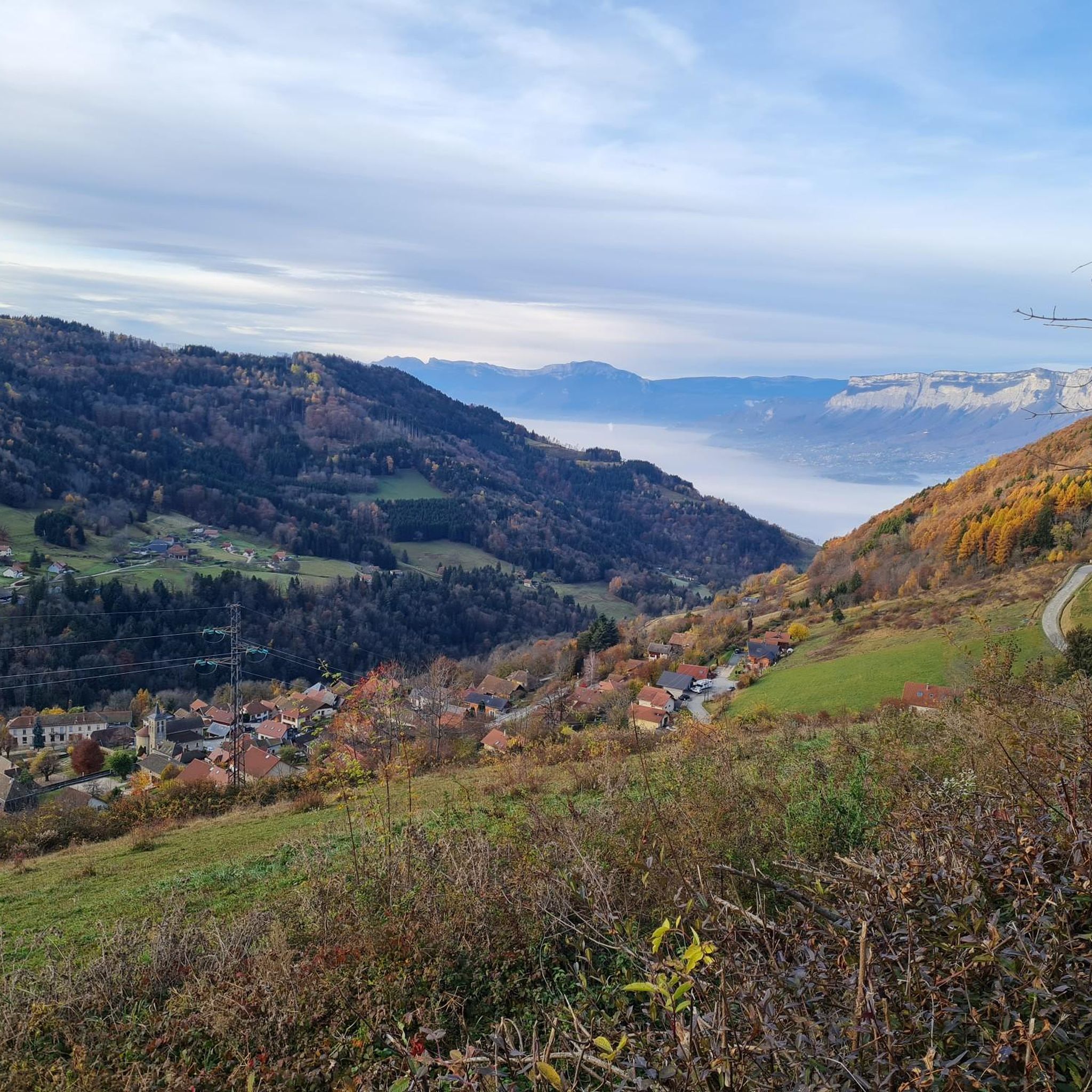
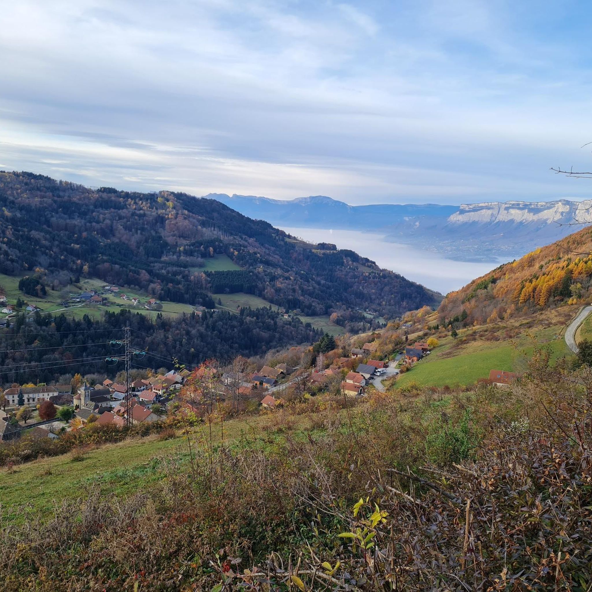
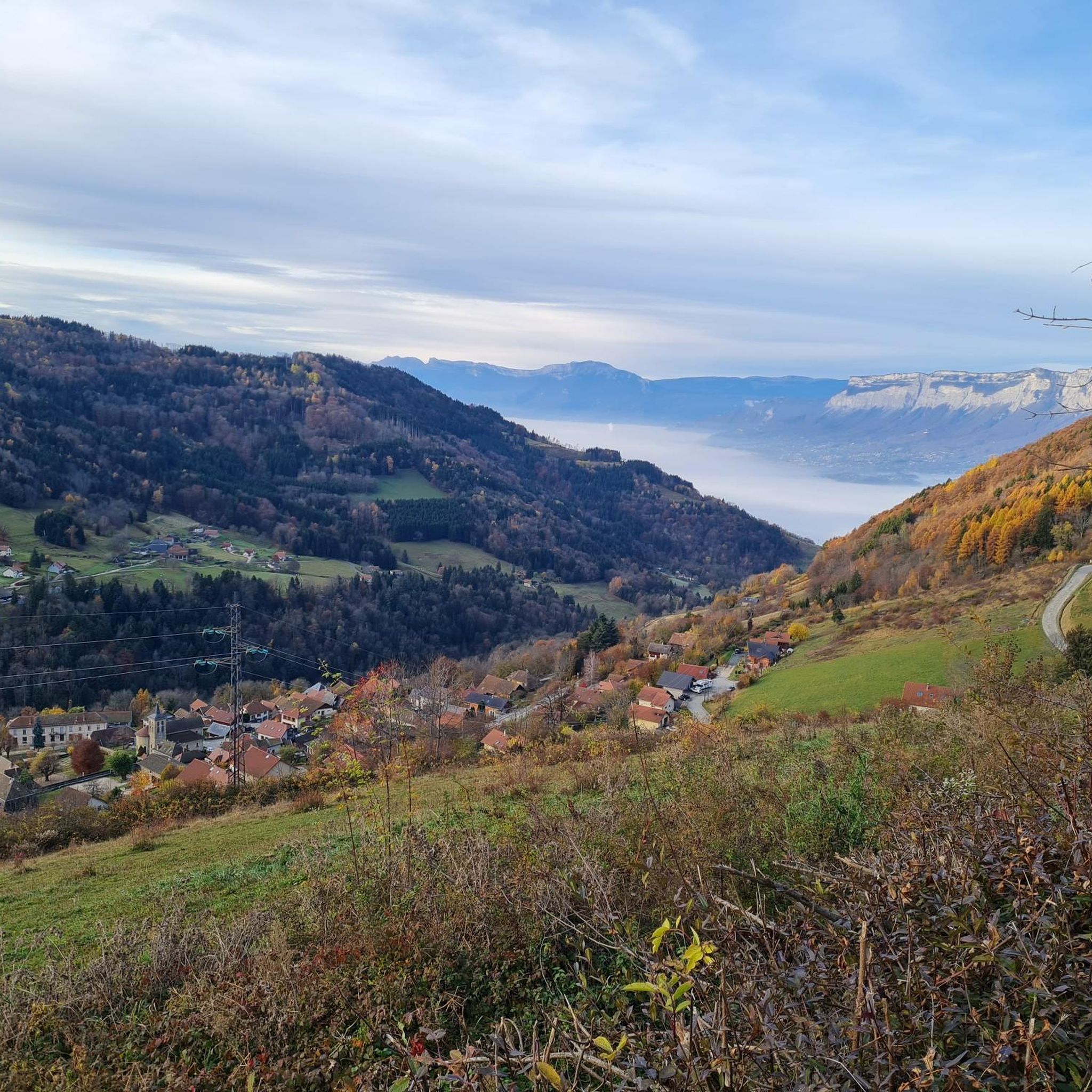
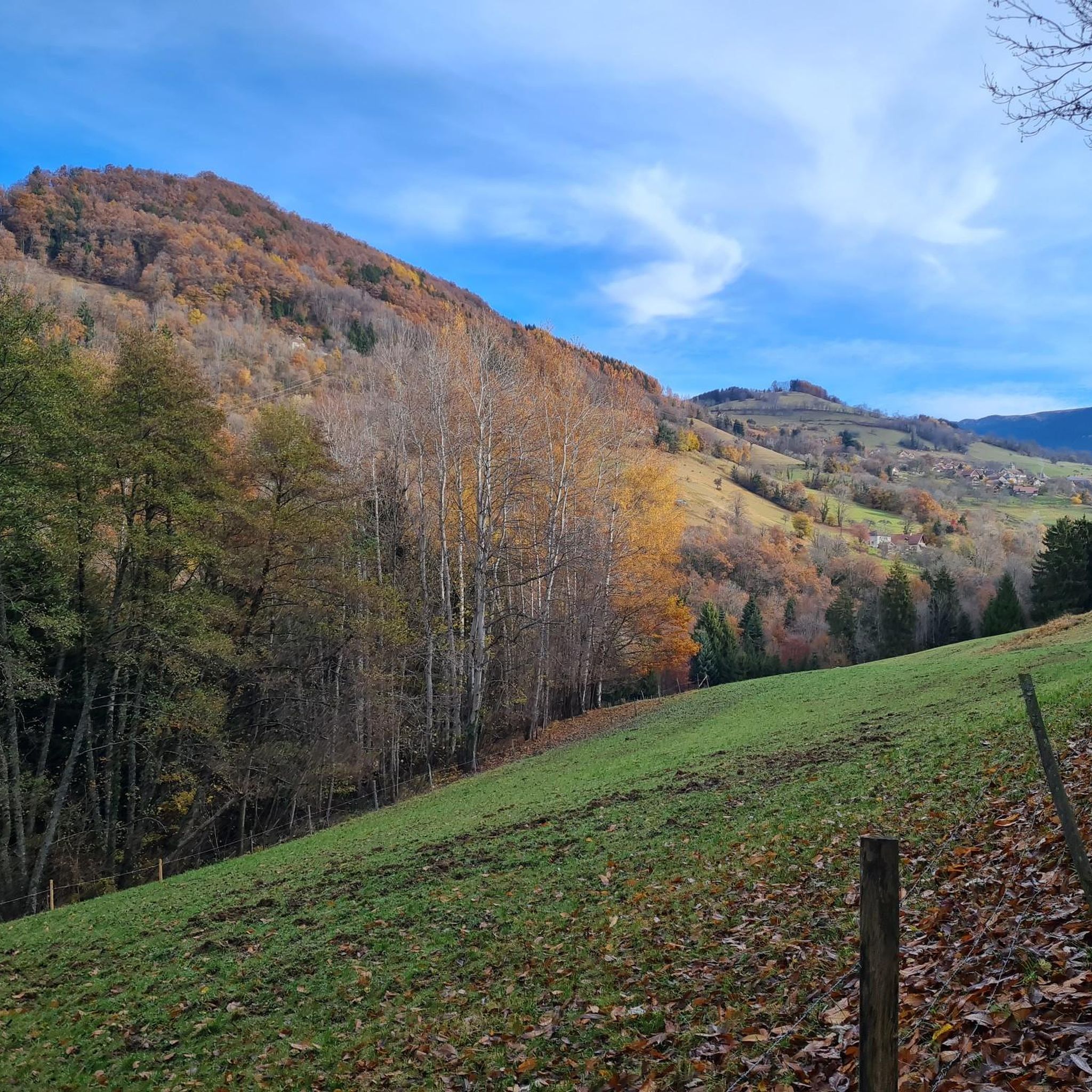


Tips from the Community

For a stopover during the Tour des lacs des 7 Laux or just a break. A very friendly team with simple but quality cuisine and more than reasonable prices. In short, a break is essential.
0
0
Alone in the world... Or almost
0
0

Fabulous summit that should be climbed with caution depending on the season and snow conditions (mid-2025, still a lot of snow from the Lac de Belle Etoile). Incredible view, I recommend it. Intended for those used to hiking on T3 trails. It climbs with your hands on the Mac de l'Étoile side.
1
1

Done in ski touring, be careful ⚠️ just in case of hard snow the final slopes are a little steep.
0
0

Magnificent 360° view of the North Belledonne massifs, the Grésivaudan valley overlooked by the long cliff of Chartreuse, the Bauges and the foot of Bugey behind the lake of the same name...
0
0
Superb trail that covers the entire ridge with magnificent panoramas of Belledonne
0
0

Very nice refuge, it makes you want to spend the night there.
0
0

Located at 1,803 meters above sea level, Crêt Luisard dominates the Grésivaudan valley. From up there, there are great views of the Belledonne range and the Chartreuse. A small detour that is worth it!
0
0
Frequently Asked Questions
How many mountaineering routes are available around Hurtières?
There are over 20 dedicated mountaineering routes around Hurtières, offering a diverse range of experiences. These include challenging ascents to prominent peaks and scenic paths around alpine lakes.
Are there any easy mountaineering routes in Hurtières for beginners?
While many routes in Hurtières are moderate to difficult, there is at least one route specifically categorized as easy. For those new to mountaineering, it's always recommended to start with a route that matches your fitness level and experience, and consider guided options if unsure.
What is the best season for mountaineering in Hurtières?
The best season for mountaineering in Hurtières is typically from late spring to early autumn (June to September) when the weather is more stable, and snow has melted from higher elevations. Always check local weather forecasts and trail conditions before heading out, as conditions can change rapidly in the mountains.
Are there any circular mountaineering routes in Hurtières?
Yes, many mountaineering routes in Hurtières are designed as circular loops, allowing you to start and end at the same point. An example is the Le Habert d'Aiguebelle Refuge – Cime de la Jasse loop from Parking de l'Olagneraie, which offers a challenging full-day experience.
What kind of wildlife might I encounter on the mountaineering trails?
The Hurtières region is home to diverse alpine wildlife. Depending on the season and elevation, you might spot chamois, ibex, marmots, and various bird species, including birds of prey. Maintaining a respectful distance and observing quietly is key to a rewarding wildlife encounter.
Are there any routes that pass by mountain refuges?
Yes, some mountaineering routes in Hurtières pass by mountain refuges, which can be excellent spots for a break, a meal, or even an overnight stay. The Pas de la Coche and Lake – Le Habert d'Aiguebelle Refuge loop from Parking de l'Olagneraie is an example of a route that includes a mountain refuge.
What are some notable natural landmarks or points of interest along the routes?
The Hurtières area is rich in natural beauty. You can find prominent summits like Dent de Crolles, scenic mountain passes such as Col du Coq, and beautiful alpine lakes like Lake Crop. Many routes offer stunning views of these features.
What do other mountaineers say about the routes in Hurtières?
The mountaineering routes in Hurtières are highly regarded by the komoot community, with an average rating of 4.3 stars from over 18 reviews. Users frequently praise the challenging ascents, the stunning alpine scenery, and the well-maintained paths that lead to breathtaking viewpoints and serene lakes.
Are there any routes that feature alpine lakes?
Absolutely. The Hurtières region is known for its beautiful alpine lakes. The Lac du Pas de la Coche – Grand lac du Vénétier loop from Le Muret is a prime example, exploring two notable alpine lakes and offering scenic views throughout its duration.
Are there any routes that lead to high peaks with panoramic views?
Yes, Hurtières offers several routes that ascend to high peaks, providing expansive panoramic views of the surrounding valleys and mountain ranges. The Peak of the Beautiful Star loop from Le Pleynet is one such challenging route that rewards mountaineers with incredible vistas.
What should I wear for mountaineering in Hurtières?
Given the significant elevation changes and varied terrain, it's crucial to wear appropriate layers, including moisture-wicking base layers, insulating mid-layers, and a waterproof/windproof outer shell. Sturdy mountaineering boots, a hat, gloves, and sun protection are also essential, regardless of the season, due to unpredictable mountain weather.
Are there any moderate mountaineering routes suitable for experienced hikers looking for a step up?
Yes, Hurtières offers a good selection of moderate mountaineering routes that provide a step up from regular hiking without being overly technical. The Crêt Luisard (1,803 m) – Crêt du Luisard - 1803m loop from Le Grand Plan is a popular moderate option, leading through mountainous terrain to a peak at 1,803 meters.
Most popular routes around Hurtières
Most popular attractions around Hurtières

Get inspired with the komoot mobile app


Explore more
Browse the best Mountain Hikes & Routes in other regions.
