The best road cycling routes around Gunstett
4.6
(152)
3,328
riders
282
rides
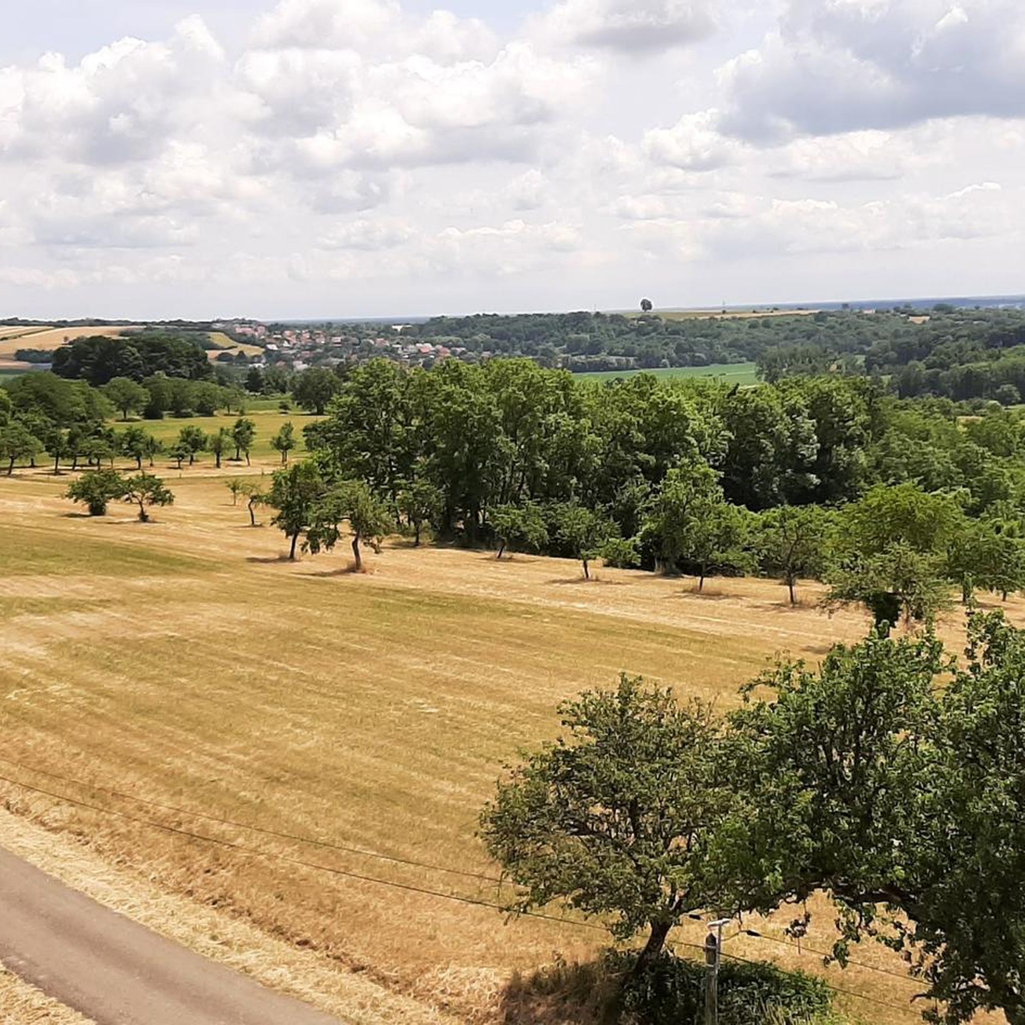
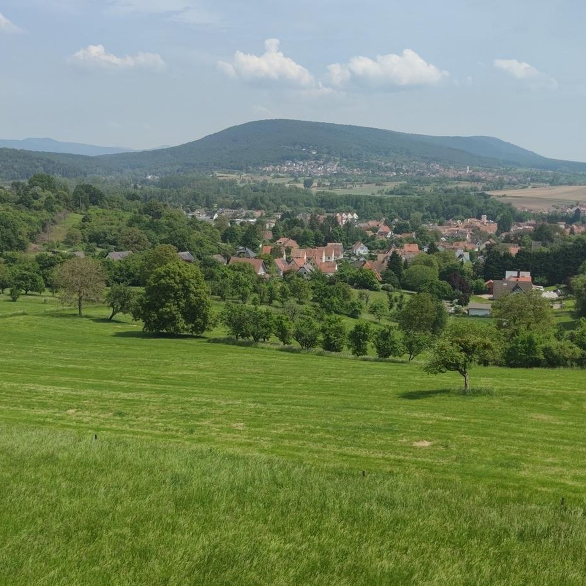
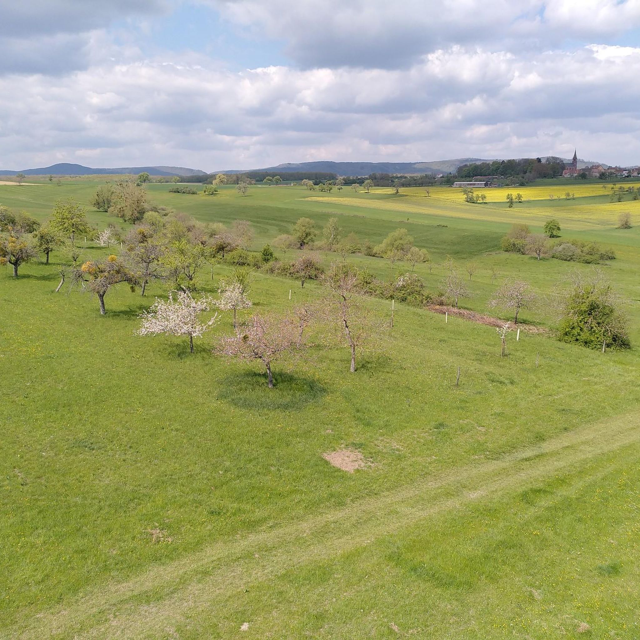
Road cycling around Gunstett offers diverse terrain, characterized by rolling hills, forested valleys, and open agricultural landscapes. The region features a network of roads that traverse both the natural environment and small villages. Cyclists can expect varied elevation profiles, from gentle inclines along valley floors to more challenging climbs through wooded areas.
Best road cycling routes around Gunstett
- The most popular road cycling route is Untermuehl Valley, Baerenthal – Fleckenstein Pond loop from Walbourg, a 75.5 miles (121.5 km)…
Last updated: May 12, 2026
27
riders
121km
05:23
1,070m
1,070m
Hard road ride. Very good fitness required. Some segments of this route may be unpaved and difficult to ride.
5.0
(2)
16
riders
82.4km
04:15
1,260m
1,260m
Hard road ride. Very good fitness required. Mostly well-paved surfaces and easy to ride.

Sign up for free
4.0
(2)
11
riders
Moderate road ride. Great for any fitness level. Some segments of this route may be unpaved and difficult to ride.
4.0
(1)
12
riders
39.3km
01:39
150m
150m
Easy road ride. Great for any fitness level. Mostly well-paved surfaces and easy to ride.
4.6
(5)
9
riders
31.7km
01:19
160m
160m
Easy road ride. Great for any fitness level. Mostly well-paved surfaces and easy to ride.
Get access to more routes and recommendations from other explorers.
Sign up for free
Already have an account?
Our route recommendations are based on thousands of hikes, rides, and runs completed by other people on komoot.
Start today with a free account
Your next adventure awaits.
Login or Signup

Tips from the Community

You drive out of the Haguenau Forest and directly towards this old church.
0
0

Here you can take a break
0
0

Niederbronn-les-Bains is one of the leading towns for outdoor activities in the Northern Vosges Mountains. Numerous hiking and mountain biking trails crisscross the town. Nearby are several points of interest, such as Wasenbourg Castle and the Grand Winterberg, the highest peak in the Vosges massif. And for those who enjoy longer trips, several hotels and a campsite are available in the town, all within a charming natural and historical setting.
1
0

Headwind? Then just drive in the other direction. Or check the weather forecast beforehand. You wouldn't believe it...
1
0

It's incredible that the gable walls and columns from the 16th century are still standing today.
1
0
8 km through the countryside. It runs smoothly here. And there's relatively little traffic.
2
0
A great cycle path with the best surface, perfect for cycling through the countryside.
3
0

Impressive ruins right next to the road, plus a pretty reservoir surrounded by forest.
1
0
Frequently Asked Questions
How many road cycling routes are available around Gunstett?
There are over 260 road cycling routes available around Gunstett, offering a wide range of options for different skill levels and preferences.
Are there road cycling routes suitable for beginners in Gunstett?
Yes, Gunstett offers around 45 easy road cycling routes. A good option for a more relaxed ride is the Cycle path to Lembach – Washhouse near the Sauer loop from Morsbronn-les-Bains, which is 14.4 miles (23.2 km) long and follows a cycle path along the Sauer river.
What kind of terrain can I expect on road cycling routes in Gunstett?
The region around Gunstett is characterized by diverse terrain, including rolling hills, forested valleys, and open agricultural landscapes. You'll find a mix of gentle inclines along valley floors and more challenging climbs through wooded areas.
Are there any long-distance road cycling routes in Gunstett?
Yes, for those seeking longer rides, Gunstett has several options. The Untermuehl Valley, Baerenthal – Fleckenstein Pond loop from Walbourg is a significant route, covering 75.5 miles (121.5 km) with notable elevation gain.
Where can I find routes with significant elevation gain for advanced road cyclists?
Advanced cyclists looking for a challenge with substantial climbs can explore routes like the Route de Nehwiller – Ruins of the Jaegerthal forge loop from Walbourg. This difficult 55.7-mile (89.6 km) path features over 1,300 meters of ascent.
Are there circular road cycling routes available in Gunstett?
Many of the road cycling routes in Gunstett are designed as loops, allowing you to start and finish at the same point. Examples include the Untermuehl Valley, Baerenthal – Fleckenstein Pond loop from Walbourg and the Cycle path to Lembach – Washhouse near the Sauer loop from Morsbronn-les-Bains.
What are some scenic viewpoints or natural attractions I can see along the routes?
While cycling, you can encounter various natural and historical points of interest. Consider visiting the Lake Observatory for scenic views, or the The Oak Monument. The region also features natural monuments like the Soultzerkopf Hut.
Are there any historical sites or landmarks to explore near the road cycling routes?
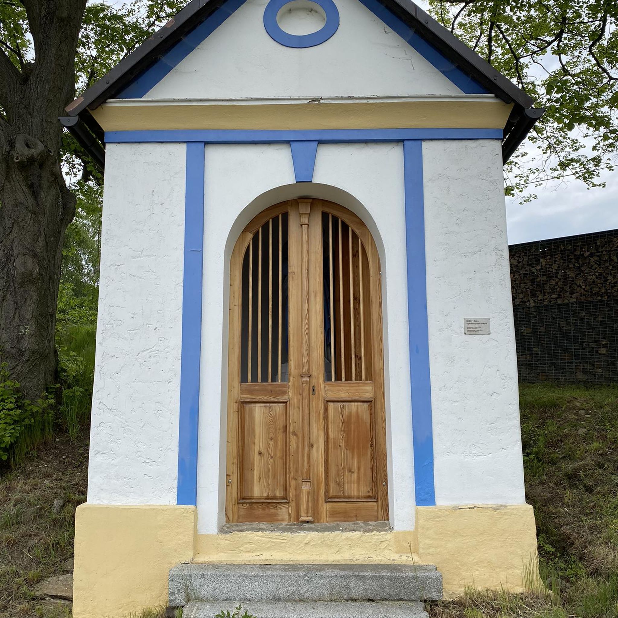
Yes, you can combine your ride with visits to historical sites. The Route de Nehwiller – Ruins of the Jaegerthal forge loop from Walbourg passes by the ruins of the Jaegerthal forge. Other notable landmarks include the Saint Arbogast Chapel and the Pfaffenschlick Pass.
What do other road cyclists say about the routes in Gunstett?
The road cycling routes in Gunstett are highly regarded by the komoot community, with an average rating of 4.6 stars from over 150 reviews. Cyclists often praise the varied terrain, the quiet roads, and the beautiful natural surroundings.
Are there moderate difficulty road cycling routes available?
Yes, Gunstett offers a significant number of moderate routes, with about 175 options. A popular choice is the Niederbronn-les-Bains – Reichshoffen Pond loop from Walbourg, which is 44.9 km long and includes a moderate amount of climbing.
What is the best time of year for road cycling in Gunstett?
Road cycling in Gunstett is enjoyable throughout the warmer months, typically from spring to autumn. The forested areas provide shade in summer, while spring and autumn offer pleasant temperatures and vibrant scenery. Winter cycling may be possible, but conditions can be more challenging due to colder weather and potential ice.
Are there routes that pass through villages or offer opportunities for refreshments?
Many routes traverse small villages and towns, providing opportunities to stop for refreshments. While specific cafes are not listed for every route, the presence of settlements along the way means you can often find places to refuel. For example, the Cycle path to Lembach – Washhouse near the Sauer loop from Morsbronn-les-Bains passes through Lembach, a village where amenities are available.
Most popular attractions around Gunstett

Get inspired with the komoot mobile app


Explore more
Browse the best Road cycling routes in other regions.
