Top 7 Mountain Passes around Montaulieu
Mountain passes around Montaulieu are situated in a region known for its varied topography, featuring vineyards, folded rocks, and panoramic views. The area provides routes that traverse both gentle valleys and steeper mountain slopes. Montaulieu's landscape offers a mix of intermediate climbs and scenic trails, making it suitable for different levels of outdoor activity.
Best mountain passes around Montaulieu
- The most popular mountain pass is Col de la croix rouge (507m), a mountain pass that features a quiet paved…
Last updated: September 29, 2026
Col de la croix rouge (507m)
Highlight • Mountain Pass
Coming from Mirabel to Baronnies, the climb is pleasant. Only the last kilometer offers a much steeper slope. (up to …
Translated by Google •
Tip by

Col d'Ey
Highlight • Mountain Pass
Translated by Google •
Tip by

Sign up now to discover places like this
Get recommendations on the best single tracks, peaks, & plenty of other exciting outdoor places.
Col de Soubeyrand (994 m)
Highlight • Mountain Pass
Tip by

Valouse pass
Highlight • Mountain Pass
Translated by Google •
Tip by

Propiac Pass
Highlight • Mountain Pass
Translated by Google •
Tip by
Sign up for free to discover even more mountain passes around Montaulieu.
Already have an account?
Start today with a free account
Your next adventure awaits.

Tips from the Community

At the end of August, the lavender was gone!
0
0

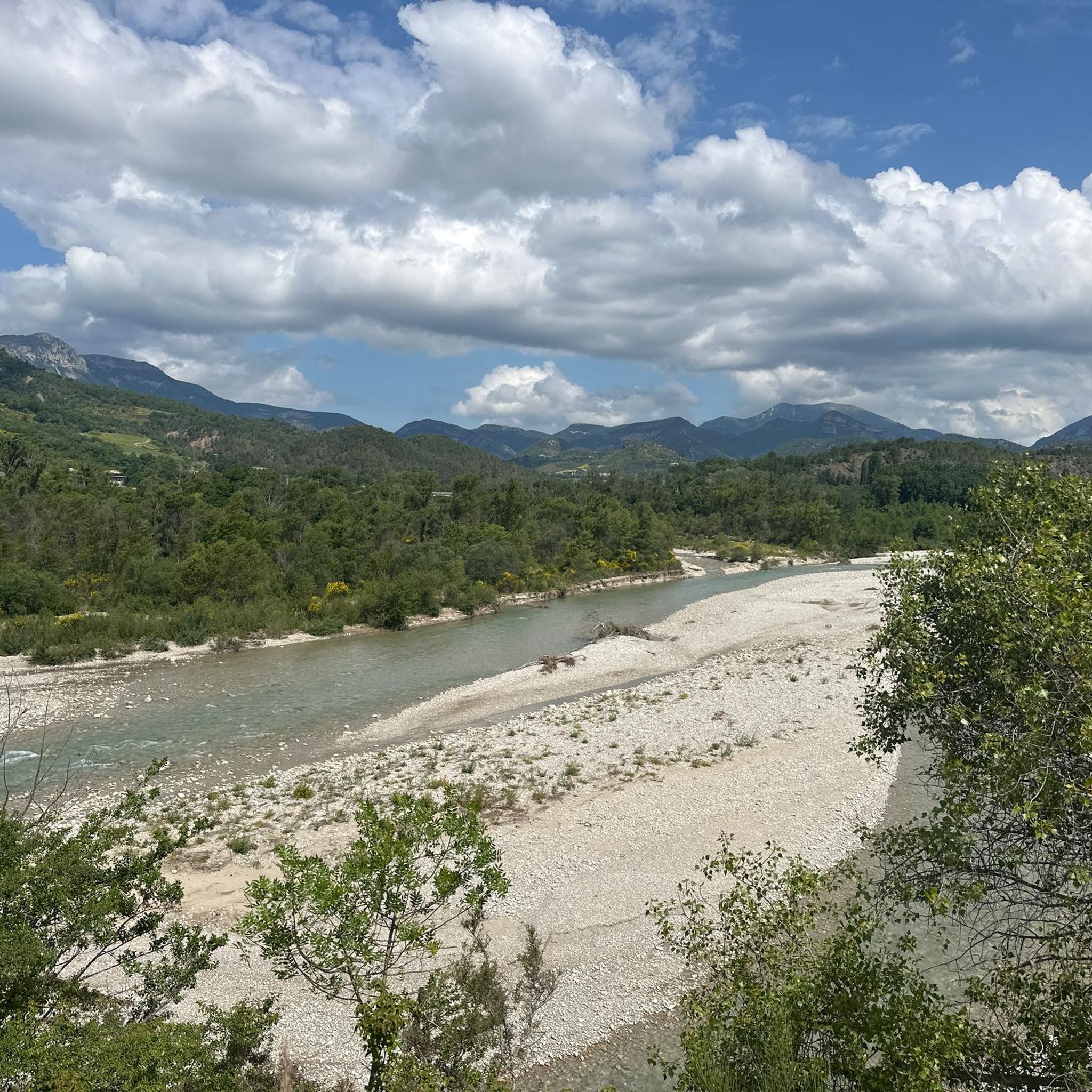
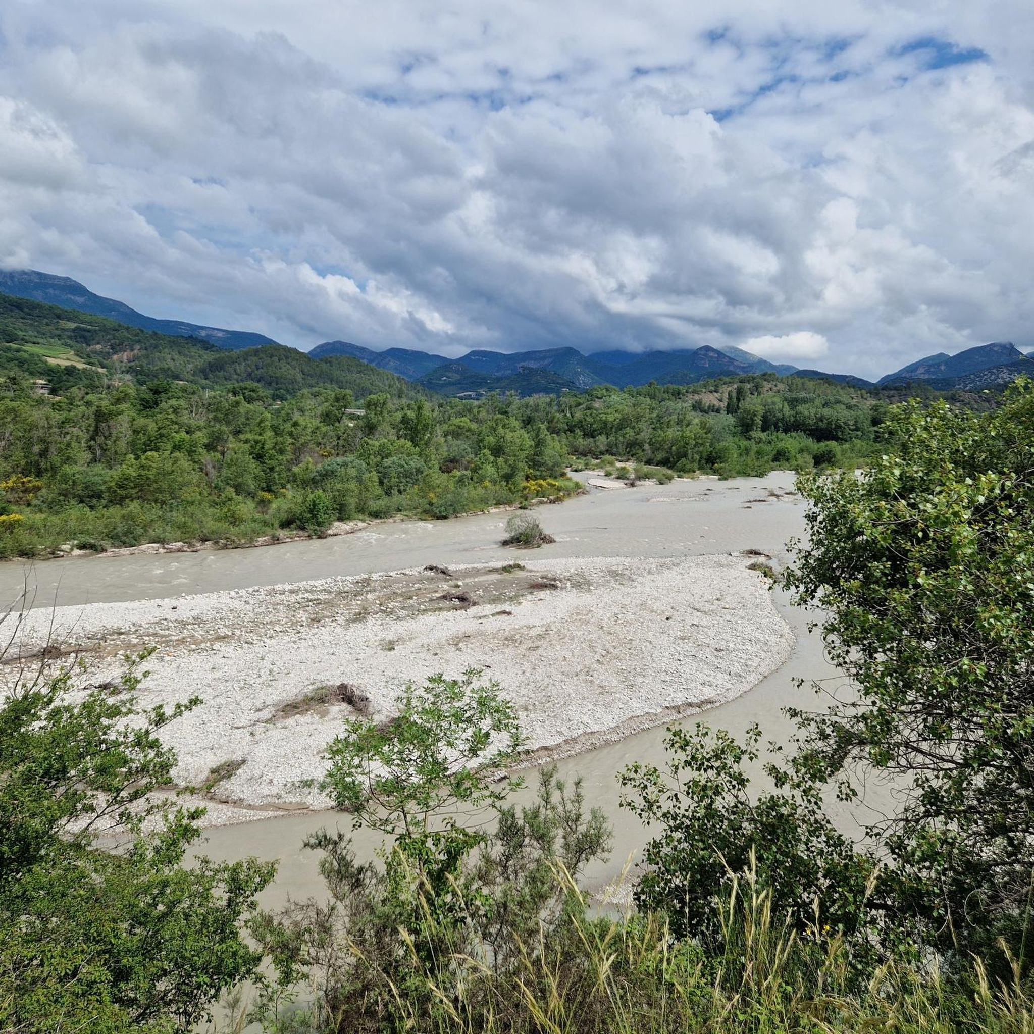
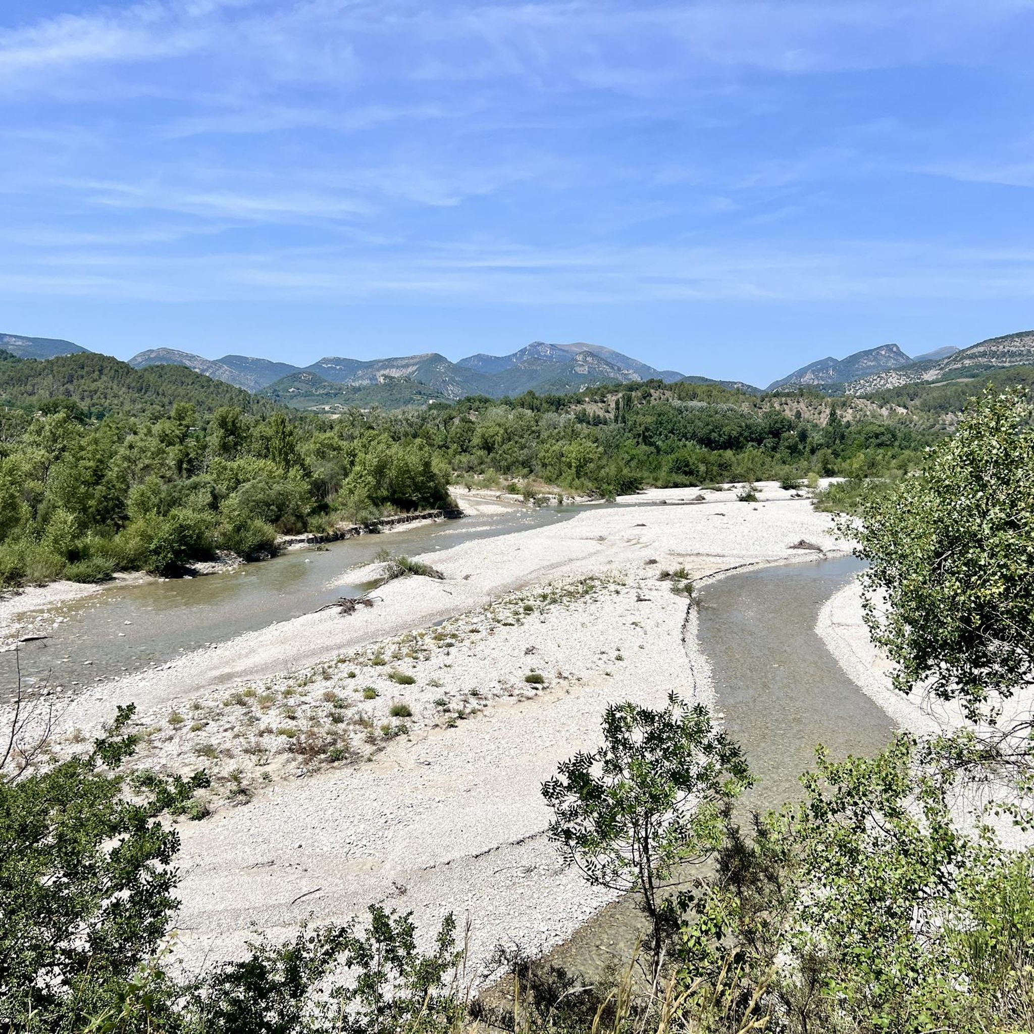
The Col de Soubeyrand (987–994 m, depending on the map source) is located in the Drôme department, in the Auvergne-Rhône-Alpes region, within the Baronnies provençales massif. It connects the Eygues valley with the Ennuye valley, between the villages of Rémuzat and Sainte-Jalle.
10
0

Beautiful route, the arrival at the pass is a bit disappointing, not inviting for a stop.
0
0

Excellent workout for cardio
0
0

splendid view over the surroundings and particularly over the Ennuyé valley
0
0

a short drive from the campsite
0
0

Great side road with a moderate gradient. The signs show information about the remaining gradient and the remaining distance to the summit for every kilometer. It almost has a touch of "Tour de France feeling"...
0
0
Frequently Asked Questions
Are there easy mountain passes for cycling around Montaulieu?
Yes, the region offers passes suitable for various skill levels. For a pleasant cycling experience, consider the Col de la croix rouge (507m), which features a quiet paved road with gentle climbs, though some sections can reach up to 10% gradient. It's known for its scenic views of small valleys and vineyards.
Which mountain passes offer the best panoramic views in the Montaulieu region?
For breathtaking vistas, Col d'Ey is highly recommended. At 718 meters above sea level, it provides a stunning panorama, including an impressive view of Mont Ventoux. The Col de la croix rouge (507m) also offers magnificent views of vineyards and folded rocks.
Where can I find more challenging mountain passes around Montaulieu?
If you're looking for a challenge, the Col de Soubeyrand (994 m) is a demanding option. From Remuzat, it features a 7.7 km climb with 534 meters of vertical ascension and an average gradient of 6.94%, making it one of the most challenging passes in Provence after Mont Ventoux.
What are the typical distances for cycling routes that include mountain passes near Montaulieu?
Cycling routes around Montaulieu that incorporate mountain passes vary in length. For instance, a difficult road cycling loop from Curnier that includes the Col de la croix rouge (507m) can be around 114 km. Moderate routes like the 'Amayon Torrent Gorge – Gorges de l’Eygues loop' are about 53 km. You can find more options in the Road Cycling Routes around Montaulieu guide.
Are there running trails near the mountain passes around Montaulieu?
Yes, there are several running trails in the Montaulieu area that can take you near or over mountain passes. For example, you can find moderate routes like the 'Col des Lantons loop from Montaulieu' which is about 9.6 km. Explore more options in the Running Trails around Montaulieu guide.
What is the best time of year to visit the mountain passes around Montaulieu?
The Montaulieu region, known for its vineyards and varied topography, is generally pleasant for outdoor activities from spring through autumn. Spring offers blooming landscapes, while autumn provides comfortable temperatures and beautiful fall colors. Summer is also popular, but be prepared for warmer weather, especially during midday.
What kind of terrain can I expect on the mountain passes near Montaulieu?
The mountain passes around Montaulieu feature varied terrain. You'll encounter quiet paved roads with good asphalt surfaces, winding roads with slight to steep climbs, and trails that traverse both gentle valleys and steeper mountain slopes. The landscape includes vineyards, folded rocks, and forested areas.
Are there less crowded mountain passes to explore near Montaulieu?
Many of the passes in the Montaulieu region, such as the Col de la croix rouge (507m), are described as having very quiet paved roads, suggesting a less crowded experience. These often provide a peaceful environment for cycling or exploring.
What do visitors enjoy most about the mountain passes around Montaulieu?
Visitors frequently highlight the quiet, scenic roads, the pleasant climbs, and the magnificent views, particularly those of Mont Ventoux from Col d'Ey. The varied topography, including vineyards and folded rocks, also adds to the appeal, making for a diverse and enjoyable outdoor experience.
Can I find mountain passes with a good asphalt surface for road cycling?
Yes, passes like Route de Vinsobres are noted for their good asphalt surface, making them suitable for road cycling. The Col de la croix rouge (507m) also features a quiet paved road.
Are there any mountain passes suitable for gravel biking in the Montaulieu area?
Yes, some of the pass roads, such as the Col de la croix rouge (507m), are described as lonely pass roads that are also perfect for a gravel bike, offering a versatile riding experience.
What is the average gradient for some of the mountain passes in Montaulieu?
The average gradients vary by pass. For example, the Col d'Ey from Buis les Baronnies has an average gradient of 4.46% over 8.3 km. The Col de Soubeyrand (994 m) from Remuzat has a steeper average gradient of 6.94% over 7.7 km. The Propiac Pass has an average gradient of 3.49% over 6.9 km.
Most popular routes around Montaulieu
Most popular attractions around Montaulieu

Get inspired with the komoot mobile app


Explore more
See even more epic mountain passes by checking out these guides around Montaulieu:
