The best running trails around Saint-Sauveur-Gouvernet
4.6
(32)
1,623
runners
113
runs
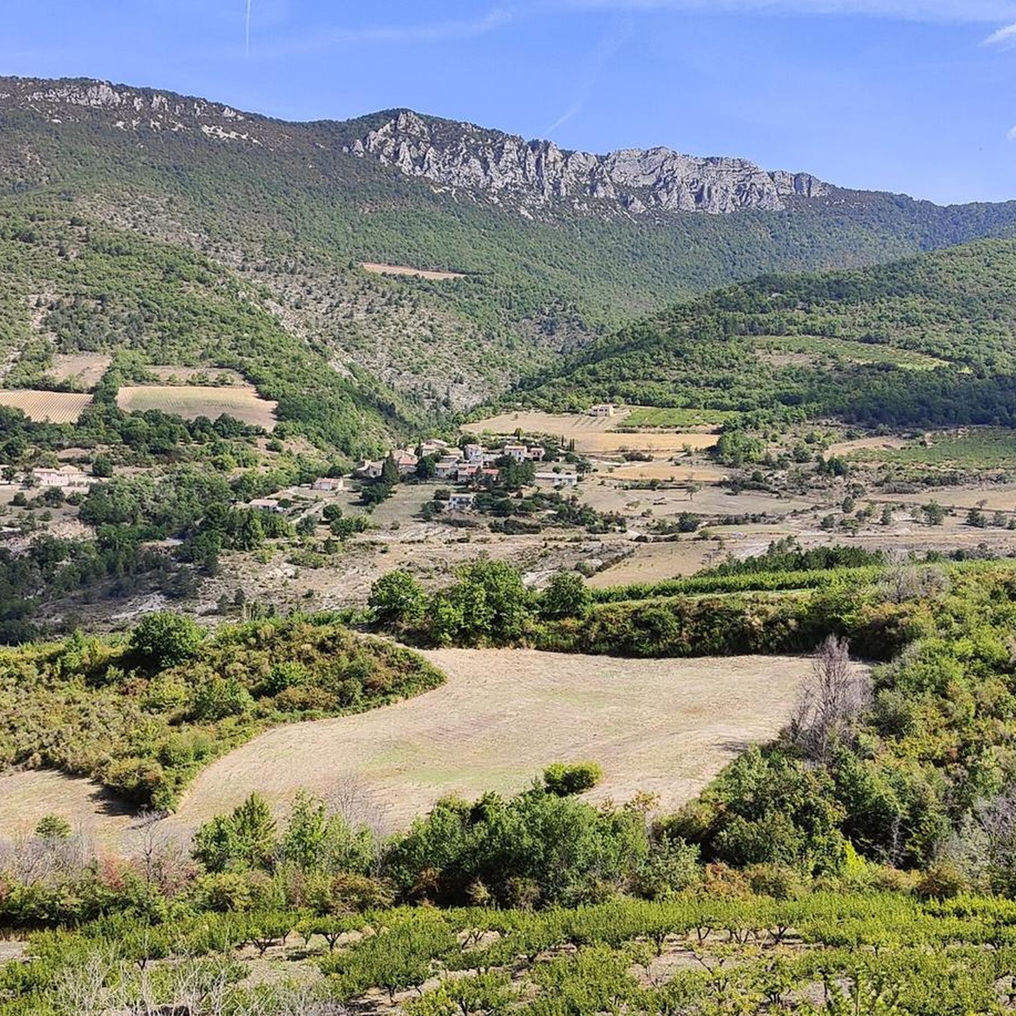
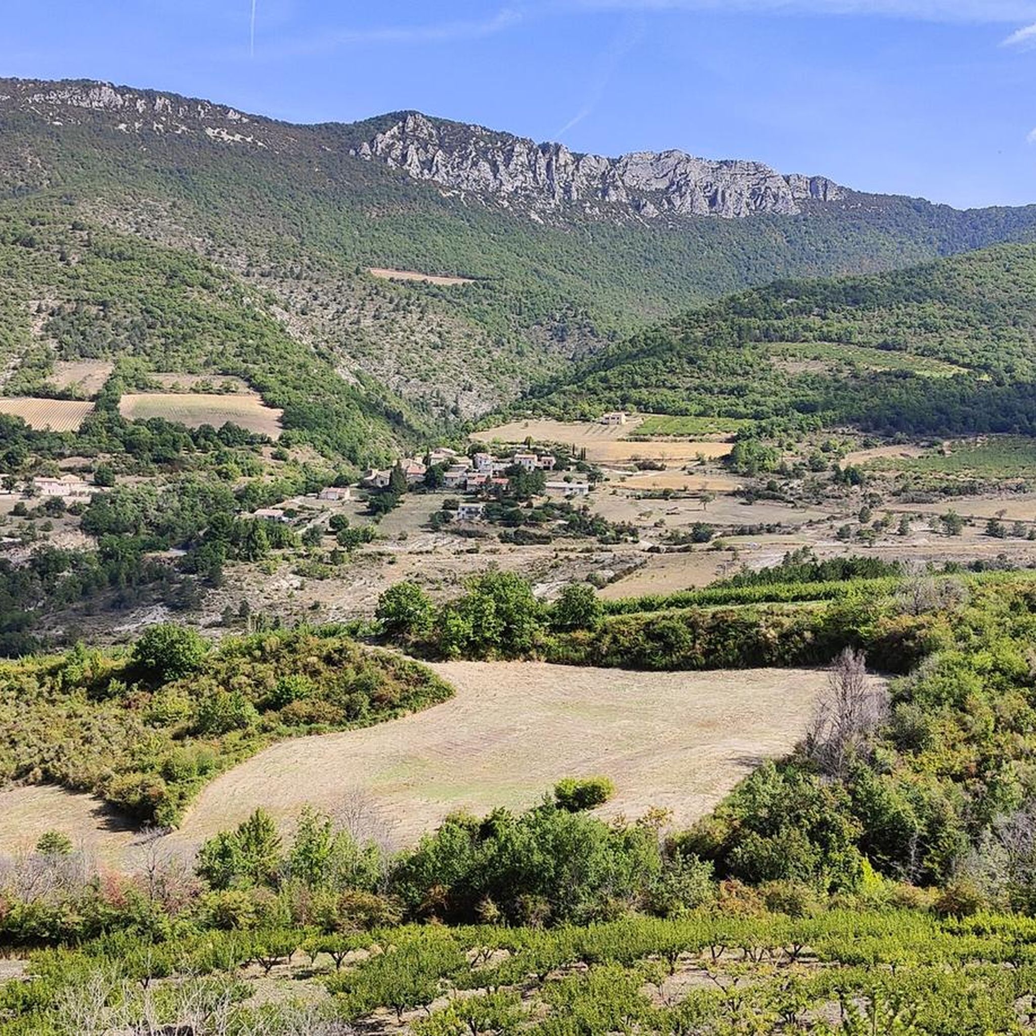
Jogging routes Saint-Sauveur-Gouvernet offer a diverse range of terrain, from challenging mountain paths to gentler river plains. The region is characterized by its varied topography, including the significant Montagne de Grimagne and Montagne du Grèle, which provide substantial elevation changes. Runners can explore picturesque routes along the Ennuye River, traverse scenic ridges, and enjoy tranquil forest paths. This combination of features makes Saint-Sauveur-Gouvernet an appealing destination for runners seeking different levels of challenge and natural beauty.
Best jogging routes around…
Last updated: May 14, 2026
75
runners
34.3km
04:36
1,280m
1,280m
Hard run. Very good fitness required. Sure-footedness, sturdy shoes and alpine experience required.
8
runners
38.2km
05:12
1,320m
1,320m
Hard run. Very good fitness required. Mostly paved surfaces. Suitable for all skill levels.

Sign up for free
6
runners
10.1km
01:13
360m
360m
Hard run. Very good fitness required. Mostly paved surfaces. Suitable for all skill levels.
5
runners
4.61km
00:29
40m
40m
Easy run. Great for any fitness level. Mostly paved surfaces. Suitable for all skill levels.
5
runners
11.7km
01:28
450m
450m
Hard run. Very good fitness required. Mostly paved surfaces. Suitable for all skill levels.
Get access to more routes and recommendations from other explorers.
Sign up for free
Already have an account?
Our route recommendations are based on thousands of hikes, rides, and runs completed by other people on komoot.
Start today with a free account
Your next adventure awaits.
Login or Signup

Tips from the Community

Nice pass, not too hard, beautiful view of the Ventoux and the whole valley
0
0


Nice road through the small gorge
1
0

Take your time and enjoy the climb/descen on the Southern side. Amazing gorge and nice flowing road
1
0
Small, fine road through the Gorges
1
0

From the summit of Arsuc (1460m), a breathtaking view awaits you.
0
0
The Col de Percy culminates at 1,302 meters above sea level. It offers you a panorama of the surrounding mountains and Mont Ventoux. You can park your car here, if necessary.
0
0
After a hike on the heights around Buis-les-Baronnies, this is an ideal place to cool off. Even if there are a lot of people, it is possible to land in a pleasant corner.
2
0
Frequently Asked Questions
How many running routes are available in Saint-Sauveur-Gouvernet?
There are over 100 dedicated running routes around Saint-Sauveur-Gouvernet, offering a wide variety of distances and difficulty levels. The komoot community has explored these trails over 1600 times, highlighting the region's popularity for outdoor activities.
What kind of terrain can I expect on running trails around Saint-Sauveur-Gouvernet?
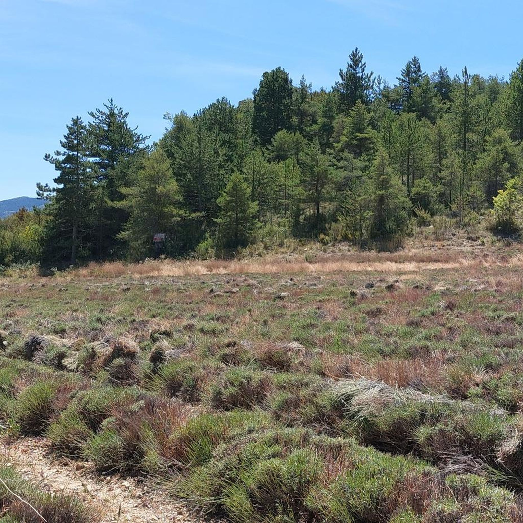
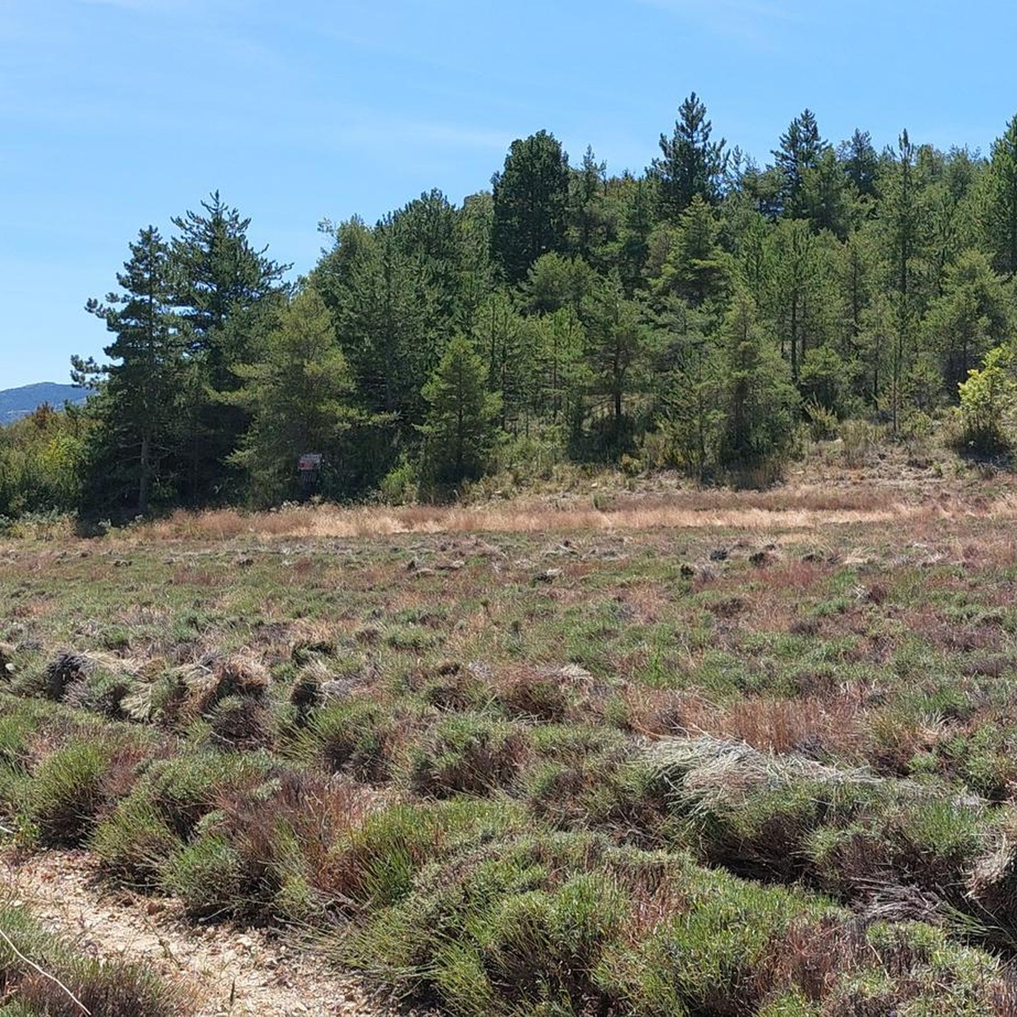
The region offers diverse terrain, from challenging mountain paths on the Montagne de Grimagne and Montagne du Grèle, to gentler routes along the Ennuye River plains. You'll also find scenic runs along 'crêtes' (ridges) and tranquil forest paths, providing options for all preferences and fitness levels.
Are there routes suitable for beginners or those looking for an easier jog?
Yes, Saint-Sauveur-Gouvernet offers several easier jogging routes. While many trails present a challenge, there are 7 routes specifically categorized as easy, and 32 as moderate, providing gentler options for those new to running or seeking a less strenuous experience.
What do other runners say about the trails in Saint-Sauveur-Gouvernet?
The running trails in Saint-Sauveur-Gouvernet are highly regarded by the komoot community, with an average rating of 4.6 stars from over 28 reviews. Runners often praise the varied landscapes, from challenging mountain ascents to peaceful river valleys, and the extensive network of paths that cater to different abilities.
Are there any circular running routes in the area?
Yes, many of the running routes around Saint-Sauveur-Gouvernet are designed as loops, allowing you to start and finish in the same location. For example, the Col d'Ey – Col d'Ey (718 m) loop from Bésignan is a popular, challenging option, and the Sainte-Jalle loop from Sainte-Jalle offers a varied landscape over a shorter distance.
Can I bring my dog on the running trails?
While specific regulations can vary, generally, many trails in natural areas like Saint-Sauveur-Gouvernet are dog-friendly, especially if your dog is kept on a leash. It's always recommended to check local signage or specific route descriptions for any restrictions, particularly in protected areas or near livestock.
Are there family-friendly jogging options?
For families, the gentler paths along the Ennuye River or some of the forest trails might be suitable. Look for routes categorized as 'easy' or 'moderate' in the guide, which typically have less elevation gain and more stable surfaces, making them more accessible for families with children.
What are the best times of year for jogging in Saint-Sauveur-Gouvernet?
Spring and autumn generally offer the most pleasant conditions for jogging in Saint-Sauveur-Gouvernet, with mild temperatures and beautiful scenery. Summer can be warm, especially at lower elevations, so early morning or late afternoon runs are advisable. Winter running is possible, particularly on lower trails, but higher mountain paths may be affected by snow or ice.
Are there any routes with significant elevation gain for a challenging run?
Absolutely. The mountainous terrain around Saint-Sauveur-Gouvernet is ideal for challenging trail runs. Routes like the Perty Pass – Chamouse Mountain loop from Saint-Auban-sur-l'Ouvèze feature substantial elevation changes, offering demanding physical challenges and rewarding panoramic views, including distant glimpses of Mont Ventoux.
What natural features or landmarks can I see while jogging?
Many routes offer stunning natural sights. You can encounter impressive viewpoints like Rocher du Caire or Vulture Rock. The region is also known for its mountain passes, such as Col d'Ey, which often provide expansive vistas. For a blend of activity and cultural discovery, the Sentier du Patrimoine offers a route through the village showcasing its history.
Where can I find more information about the Saint-Sauveur-Gouvernet region?
For additional details about the area, including its natural beauty and attractions, you can visit the official tourism website for the Drôme department. A good starting point is the Saint-Sauveur-Gouvernet page on drome-tourism.com.
Most popular routes around Saint-Sauveur-Gouvernet
Most popular attractions around Saint-Sauveur-Gouvernet

Get inspired with the komoot mobile app


Explore more
Browse the best Running Trails & Routes in other regions.
