The best walks and hikes around Copponex
4.6
(437)
3,974
hikers
240
hikes
Hiking around Copponex, nestled in the Haute-Savoie region of France, offers diverse terrain ranging from sunny hillsides and meadows to dense forests and alpine foothills. The landscape is characterized by the prominent Mont Salève, providing panoramic views, and the meandering Férande stream. This area provides a variety of hiking experiences across its varied natural features.
Best hiking trails around Copponex
- The most popular hiking route is Lac des Dronières – Les Dronières loop from Cruseilles, a 3.5 miles (5.7…
Last updated: November 1, 2026
4.8
(9)
98
hikers
5.73km
01:32
60m
60m
Easy hike. Easily walkable paths.
5.0
(6)
67
hikers
10.4km
03:08
350m
350m
Moderate hike. Good fitness required. Easily walkable paths.

5.0
(6)
41
hikers
12.8km
03:51
420m
420m
Moderate hike. Good fitness required. Easily walkable paths.
5.0
(2)
27
hikers
21.2km
06:25
700m
700m
Hard hike. Very good fitness required. Easily walkable paths.
5.0
(2)
27
hikers
7.36km
02:16
260m
260m
Moderate hike. Good fitness required. Easily walkable paths.
Get access to more routes and recommendations from other explorers.
Already have an account?
Our route recommendations are based on thousands of hikes, rides, and runs completed by other people on komoot.
Start today with a free account
Your next adventure awaits.


Tips from the Community

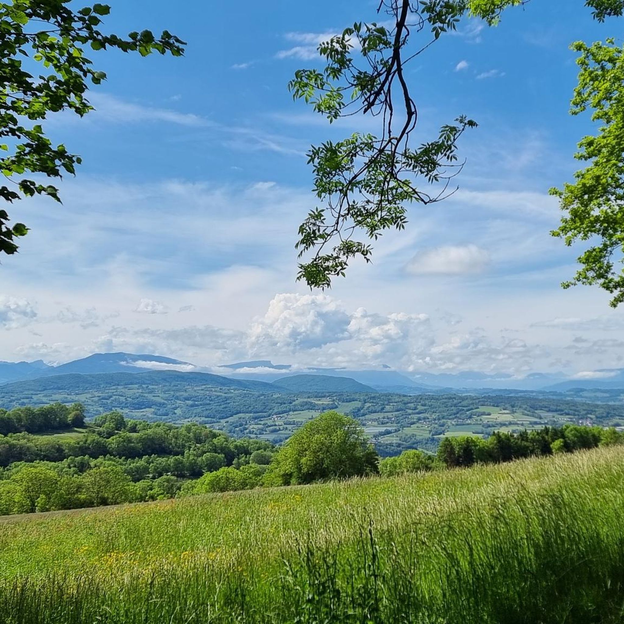
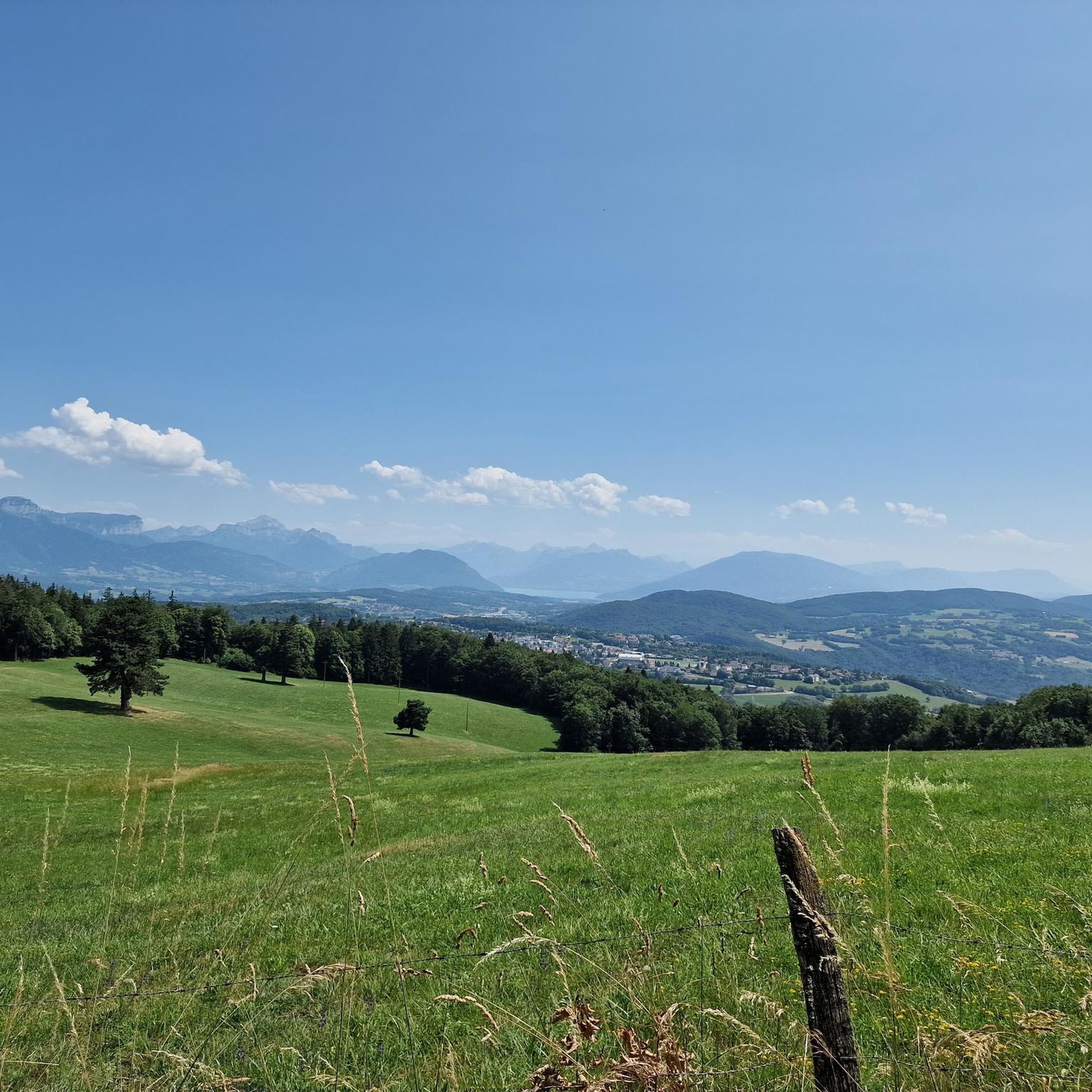
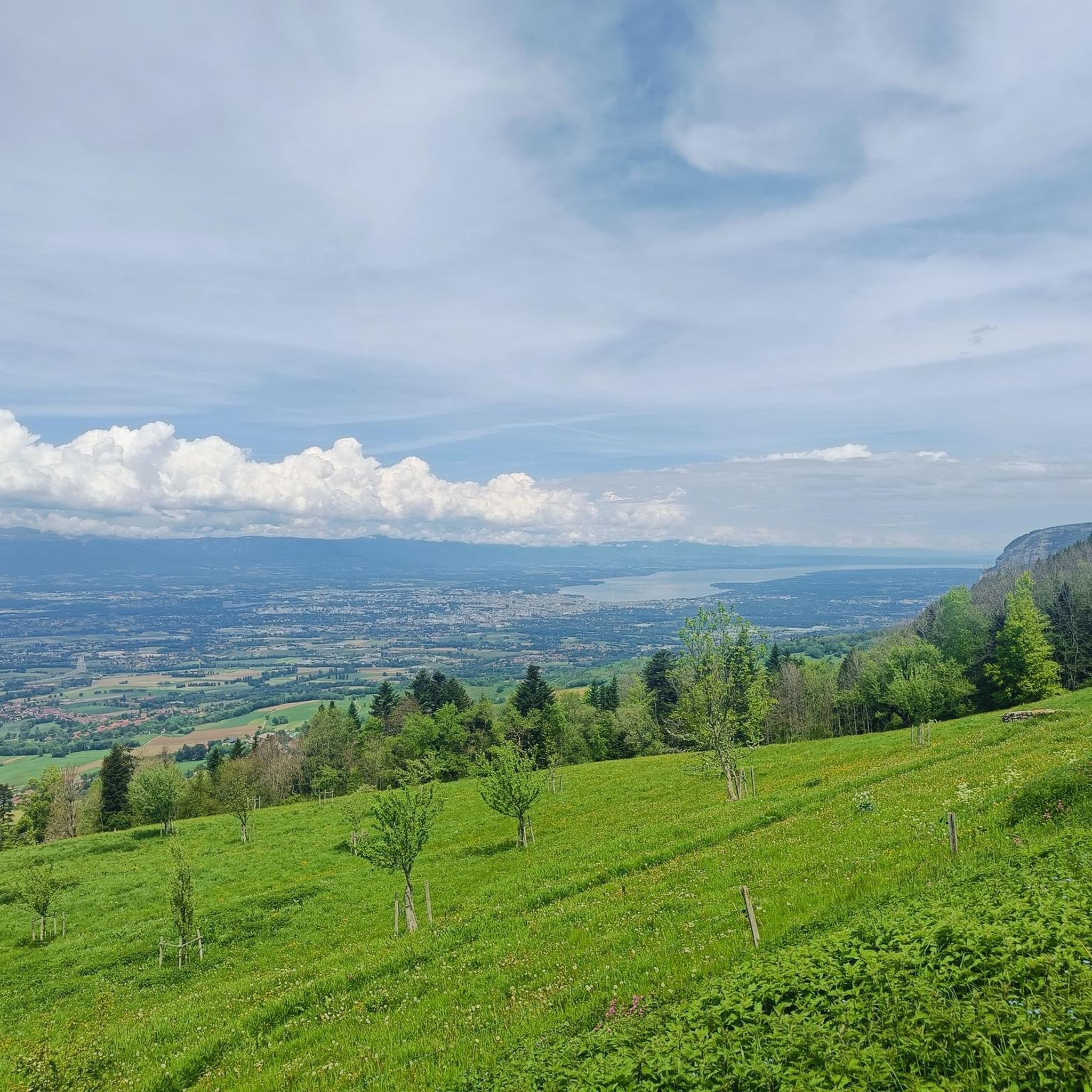
Very peaceful little spot with a magnificent view of the Genevois. A building serves as a refuge with large tables where it is possible to shelter.
0
0

The section from La Muraz to Cruseille, passing through Le Sappey, and then the climb from Cruseille to La Croisette are really nice. Beautiful road, few cars and gentle slope!
0
0


The Bastian Tower alone is worth a detour; the sweeping view of Lake Geneva makes it a magical experience.
0
0

Point of intersection the Grand Piton Altitude 1379m
0
0
Point of intersection Under Plan du Salève Altitude 1240m
1
0
Intersection point Les Dronières Altitude 790m
0
0
Frequently Asked Questions
How many hiking trails are available around Copponex?
Copponex offers a wide network of hiking trails, with over 220 routes recorded on komoot. The region boasts approximately 30 marked trails covering over 180 km, many with GPS tracks for easy navigation, catering to various skill levels.
Are there easy hiking options suitable for beginners or families?
Yes, Copponex has plenty of easy routes. There are 84 easy hikes available on komoot. A pleasant option is the Boucle pédestre de la Férande, a 7.1 km loop that takes about 1 hour and 30 minutes, featuring gentle elevation changes through meadows and orchards. Another great choice is the Lac des Dronières – Les Dronières loop from Cruseilles, an easy 5.7 km trail.
What kind of terrain and elevation can I expect on hikes around Copponex?
The terrain around Copponex is diverse, ranging from sunny hillsides and open meadows to dense forests and alpine foothills. You'll find a variety of elevation changes; for example, the "Circuit au départ de Copponex" has an elevation gain of 607 feet, while many easy loops feature gentle ascents and descents.
What natural features and viewpoints can I discover while hiking?
Hikers can enjoy breathtaking natural beauty, including the dominant Mont Salève, which offers panoramic views of the Franco-Genevan basin, Lake Geneva, and the Mont Blanc range. The Usses Valley and the Férande stream also add to the picturesque landscapes. Don't miss the View of the Salève and Mont Blanc for stunning vistas.
Are there any circular hiking routes in the Copponex area?
Yes, many routes around Copponex are designed as loops, allowing you to start and end in the same location. Examples include the Lac des Dronières – Les Dronières loop from Cruseilles and the Plan du Salève – Distant View of the Alps loop from Saint-Blaise, which takes you through the foothills of Mont Salève.
What interesting landmarks or attractions can I find near the hiking trails?
Beyond natural beauty, you can explore historical elements in Copponex village, such as a Romanesque church, a traditional press, and a bread oven. Other points of interest include the Croisette Pass, the Tête de la Mandallaz, and the impressive Caille Bridge.
What do other hikers enjoy most about hiking in Copponex?
The area is highly rated by the komoot community, with an average score of 4.5 stars from over 300 reviews. Hikers often praise the diverse terrain, the stunning panoramic views from Mont Salève, and the well-maintained network of trails that cater to all abilities.
Is Copponex a good destination for dog-friendly hikes?
Yes, the varied landscapes of Copponex, with its meadows, forests, and open spaces, offer many opportunities for dog-friendly hikes. Always ensure your dog is under control and check local regulations regarding leash requirements, especially in protected areas or near livestock.
Are there any longer, more challenging routes for experienced hikers?
For those seeking a greater challenge, Copponex offers 14 difficult routes and 129 moderate routes. An example of a longer, moderate hike is the Distant View of the Alps – Château des Avenières loop from Cruseilles, which spans over 16 km with significant elevation changes.
What is the best time of year to go hiking in Copponex?
The region is enjoyable for hiking across multiple seasons. Spring and autumn offer pleasant temperatures and vibrant scenery, with blooming flowers or colorful foliage. Summer is ideal for higher-altitude trails and longer days, while some lower-elevation paths may be accessible for winter hiking, depending on snow conditions.
Are there options for parking or public transport near the trailheads?
While specific parking details vary by trailhead, many popular starting points for hikes around Copponex offer designated parking areas. For public transport, it's advisable to check local bus schedules for connections to villages like Copponex or Cruseilles, which can serve as access points to various trails.
Can I find places to eat or stay near the hiking routes?
Yes, Copponex and nearby villages offer amenities for hikers. You can find local cafes and restaurants for refreshments after your hike. For accommodation, there are options ranging from guesthouses to hotels in the surrounding area, providing a comfortable base for exploring the region.
Most popular attractions around Copponex

Get inspired with the komoot mobile app


Explore more
Browse the best Hikes in other regions.
