The best walks and hikes around Bavinchove
4.6
(1404)
7,220
hikers
22
hikes
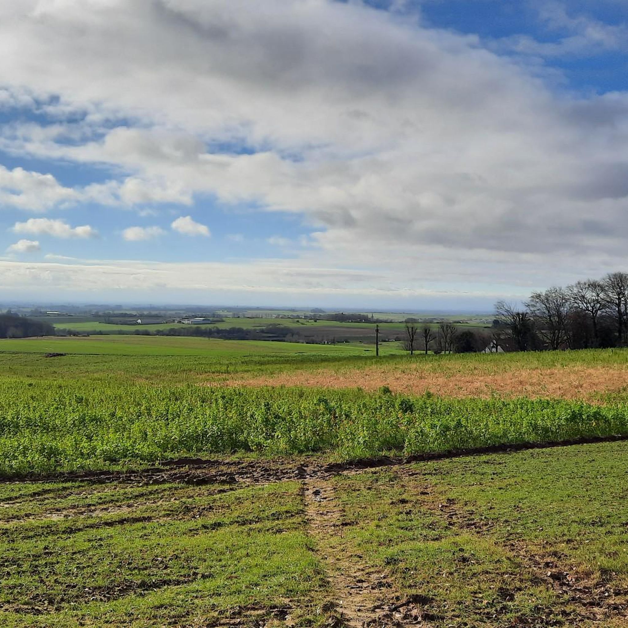
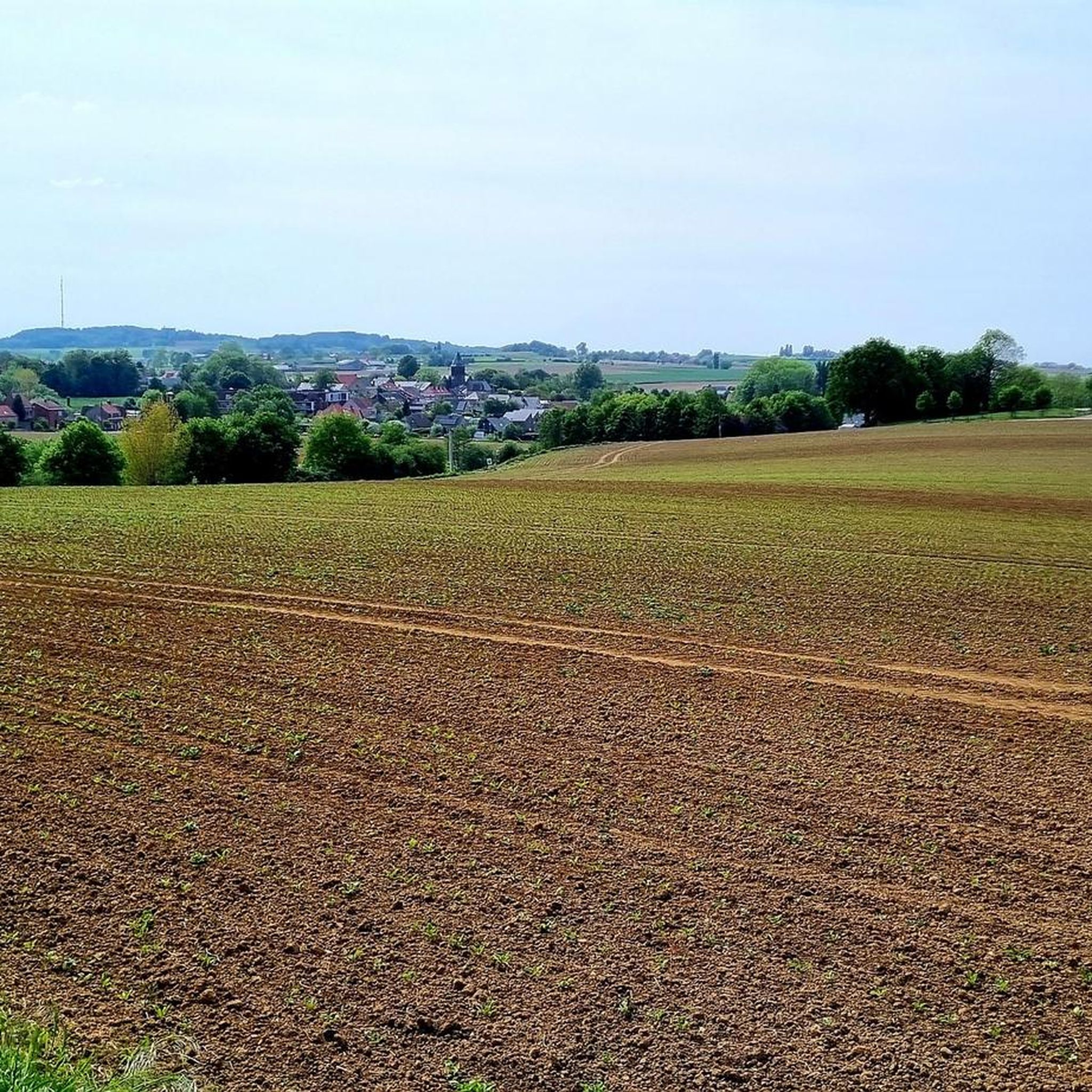
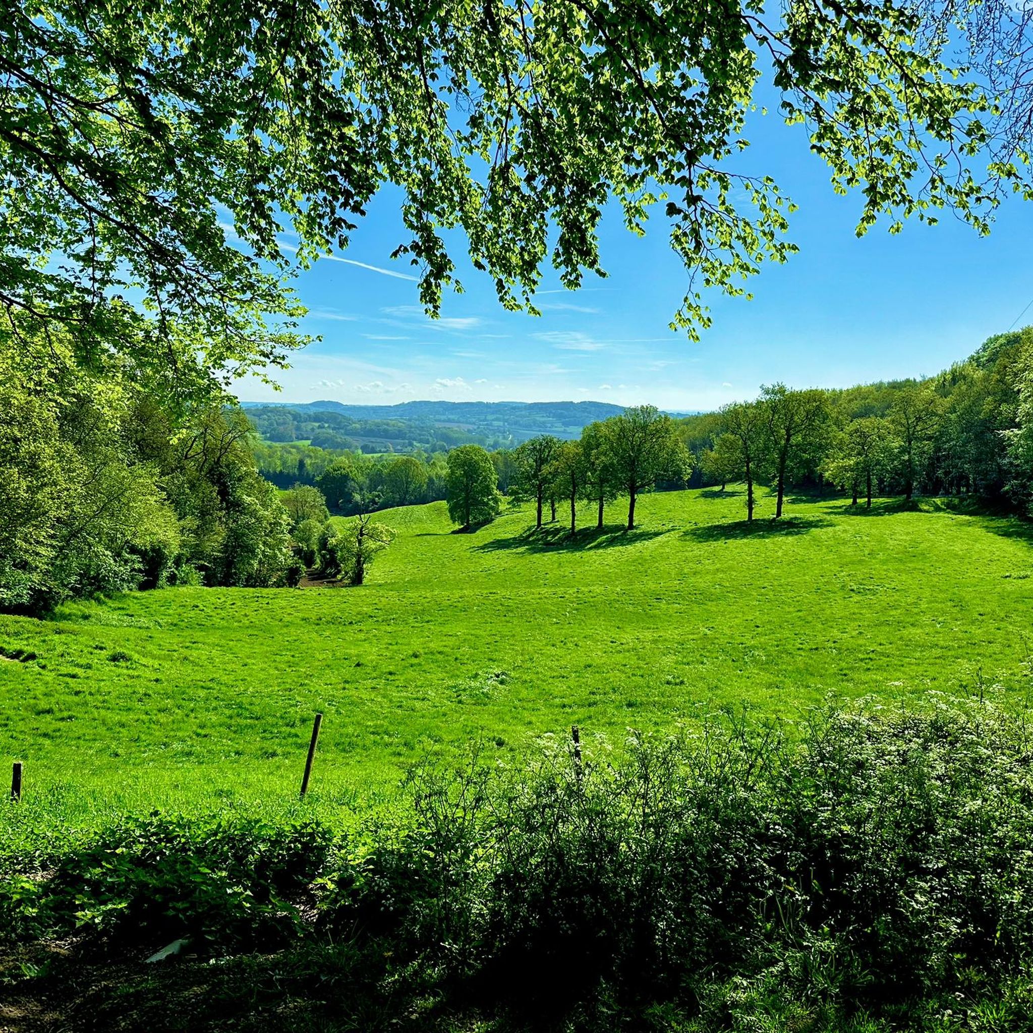
Hiking around Bavinchove offers access to the diverse landscapes of the French Westhoek, characterized by gentle rolling hills and open panoramas. The region features wooded areas, open fields, and historical paths, including sections of ancient Roman roads. Mont Cassel, the highest hill in the French Westhoek at 176 meters, provides a central feature for many routes, offering panoramic views across the Flanders region. This varied terrain ensures a range of hiking experiences for different abilities.
Best hiking trails around Bavinchove
…Last updated: November 8, 2026
4.9
(9)
49
hikers
15.6km
04:22
310m
310m
Moderate hike. Good fitness required. Easily walkable paths.
4.5
(2)
31
hikers
14.1km
03:39
80m
80m
Moderate hike. Good fitness required. Easily walkable paths.

4.7
(3)
20
hikers
22.2km
05:57
250m
250m
Hard hike. Very good fitness required. Easily walkable paths.
11
hikers
6.85km
01:47
50m
50m
Easy hike. Easily walkable paths.
4.0
(1)
11
hikers
19.6km
05:18
270m
270m
Hard hike. Very good fitness required. Easily walkable paths.
Get access to more routes and recommendations from other explorers.
Already have an account?
Our route recommendations are based on thousands of hikes, rides, and runs completed by other people on komoot.
Start today with a free account
Your next adventure awaits.


Tips from the Community


Unpaved path between the fields, with beautiful views.
1
0

A narrow passage on Rue Bollaert Le Gavrian leads to the Promenade des Remarts, which takes you along the ramparts of Cassel.
0
0
Frequently Asked Questions
How many hiking trails are available around Bavinchove?
There are over 15 hiking trails recorded on komoot around Bavinchove, offering a variety of experiences. These routes range from easy strolls to more challenging treks across the French Westhoek.
What kind of landscapes can I expect to see while hiking near Bavinchove?
The region around Bavinchove features diverse landscapes, including gentle rolling hills, open fields, and wooded areas. Many trails offer panoramic views from Mont Cassel, the highest point in the French Westhoek, and some even follow ancient Roman roads.
When is the best time to go hiking around Bavinchove?
Hiking around Bavinchove is enjoyable throughout much of the year. The "Circuit du Val de Cassel," a popular route, is particularly pleasant from March to October. Spring and autumn offer comfortable temperatures and beautiful scenery, while summer provides longer daylight hours.
Are there easy hiking trails suitable for beginners around Bavinchove?
Yes, there are easy options available. For instance, the Oxelaëre – Estaminet loop from Cassel is a 4.2-mile (6.8 km) trail that takes about 1 hour 47 minutes to complete, leading through open fields and local hamlets.
Are there any challenging hikes for experienced trekkers near Bavinchove?
While many trails are moderate, some routes around Mont Cassel involve more significant elevation gain and can be more demanding. The "Circuit du Val de Cassel" also offers a longer, 16 km option for experienced hikers, taking approximately 4 hours.
Can I find circular hiking routes in Bavinchove?
Yes, many routes in the area are circular. A notable example is the "Circuit du Val de Cassel," which starts from the church in Bavinchove and offers an 11.5 km or 16 km loop. Another option is the A gate in Cassel – Cassel Old Town loop from Cassel, which is 8.3 miles (13.3 km) and also circular.
What interesting landmarks or attractions can I see along the hiking trails?
Hikers can explore several points of interest. Many routes lead to or offer views of Cassel Village, known for its old town and historical fortifications. You might also encounter the mill on Cassel Hill or sections of ancient Roman roads.
Are there family-friendly hiking options around Bavinchove?
Yes, the region offers trails suitable for families. The varied terrain includes gentle rolling hills and open fields, making it possible to find shorter, less strenuous paths that are enjoyable for all ages. Look for routes marked as 'easy' for the best family experience.
Are dogs allowed on the hiking trails near Bavinchove?
Generally, dogs are welcome on trails in the French countryside, provided they are kept on a leash and you clean up after them. It's always a good idea to check local signage for any specific restrictions in certain nature areas.
Where can I find parking for hiking trails in Bavinchove?
Many hiking routes in the area start from central points like the church in Bavinchove or in nearby Cassel, where public parking is typically available. It's advisable to check the starting point of your chosen route for specific parking information.
What do other hikers enjoy most about hiking in Bavinchove?
The area is highly rated by the komoot community, with an average score of 4.6 stars from over 1100 reviews. Hikers often praise the diverse landscapes, the panoramic views from Mont Cassel, and the charm of the Flemish countryside and its historical paths.
Are there places to eat or drink near the hiking trails?
Yes, the region has local eateries, often referred to as 'estaminets,' which are traditional Flemish pubs or restaurants. Some routes, like the Church of Oxelaëre – Estaminet loop from Cassel, even incorporate these charming establishments into their names, indicating their proximity to refreshment stops.
Most popular routes around Bavinchove
Most popular attractions around Bavinchove

Get inspired with the komoot mobile app


Explore more
Browse the best Hikes in other regions.
