The best MTB trails around Brangues
4.6
(165)
699
riders
65
rides
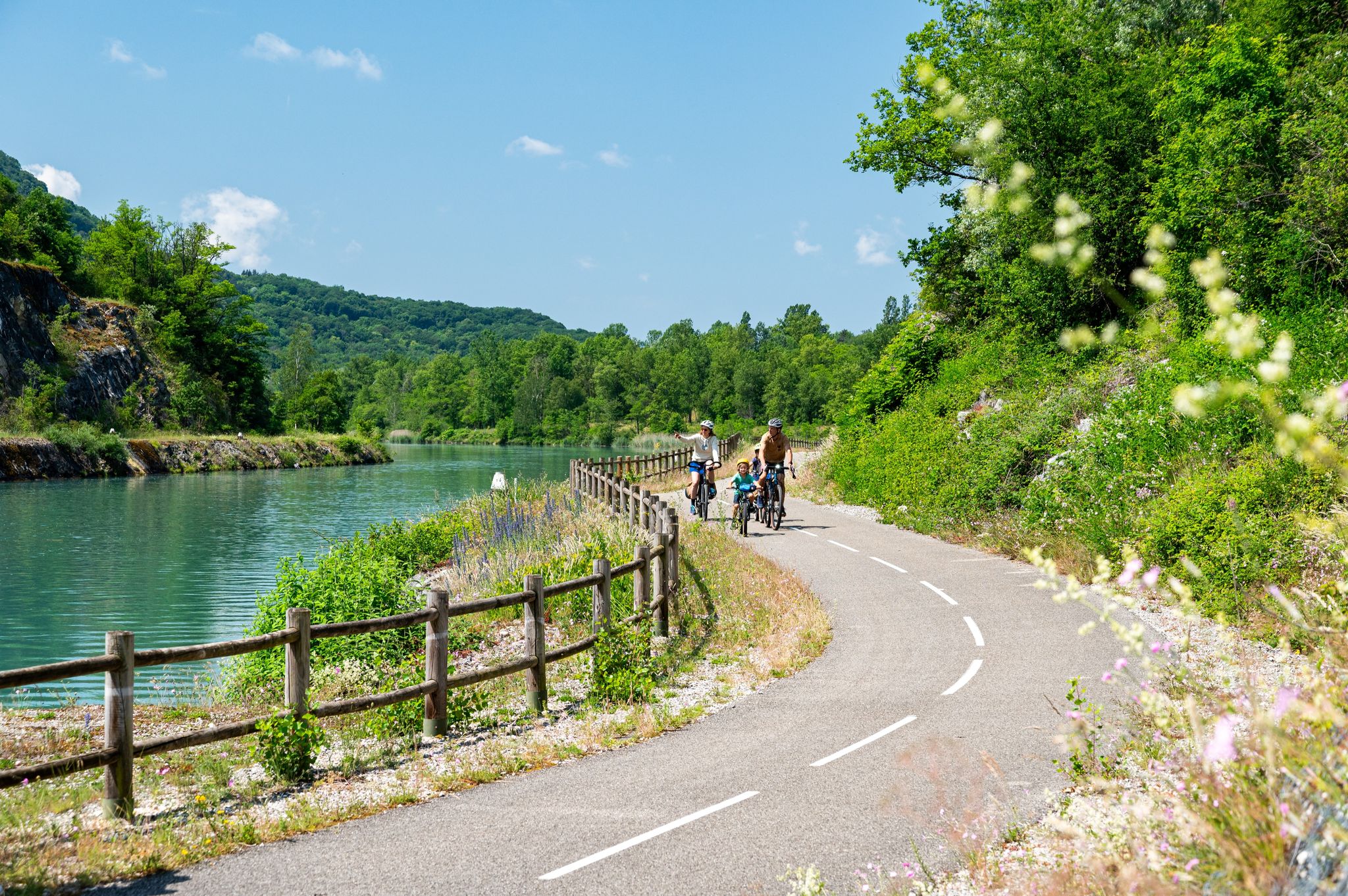
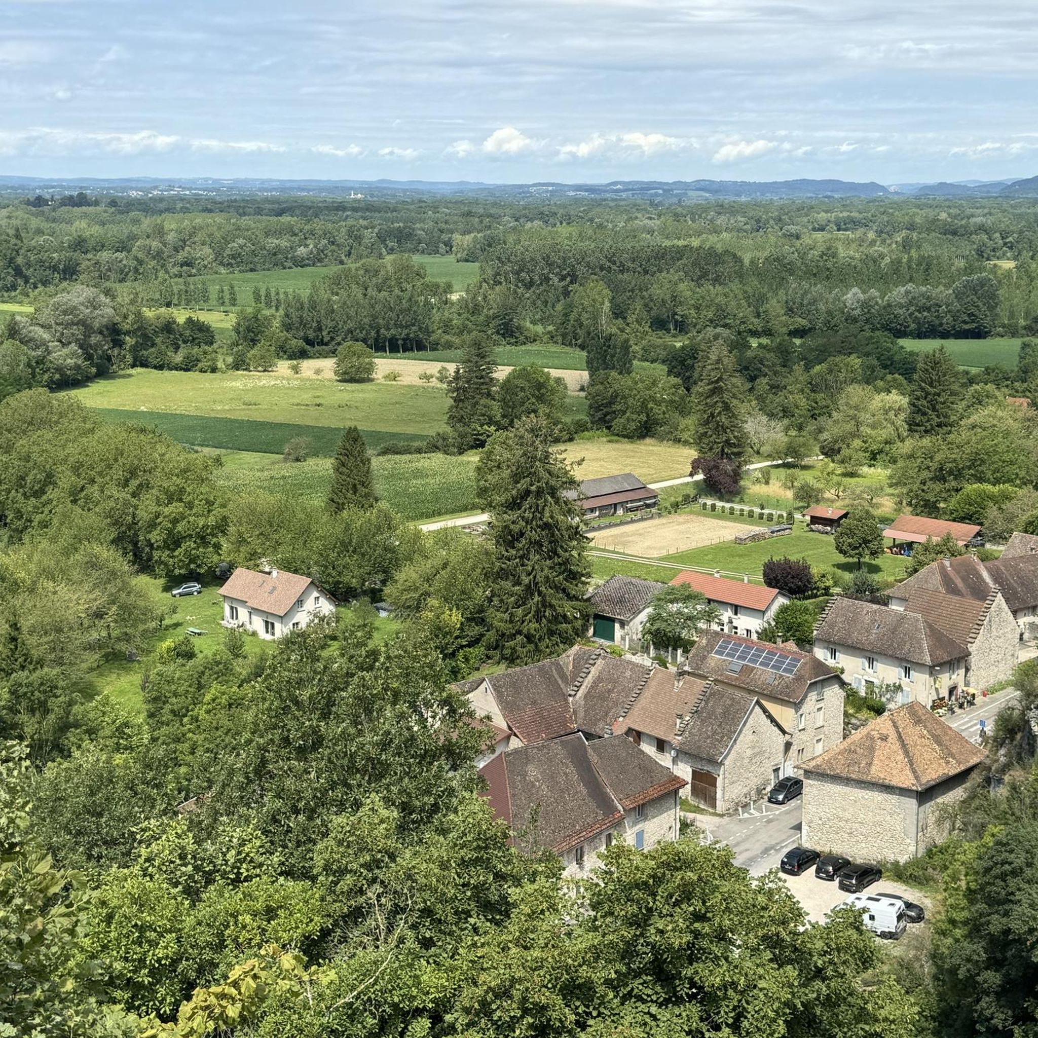
Mountain bike trails around Brangues are situated in the Auvergne-Rhône-Alpes region, characterized by an alluvial plain bordered by the Rhône River. The terrain offers a mix of flat and gently rolling areas, ideal for cross-country and touring-style mountain biking. The area includes the Méandre du Saugey, a natural reserve with diverse environments, and features scenic routes along the ViaRhôna. This landscape provides varied opportunities for mountain bikers to explore the rural countryside and waterside scenery.
Best mountain bike trails around…
Last updated: October 1, 2026
4.7
(11)
26
riders
46.4km
02:34
150m
150m
Moderate mountain bike ride. Good fitness required. Suitable for all skill levels.
4.6
(7)
7
riders
34.8km
02:12
150m
140m
Moderate mountain bike ride. Good fitness required. Suitable for all skill levels.

4.8
(4)
17
riders
36.4km
01:53
120m
120m
Easy mountain bike ride. Great for any fitness level. Suitable for all skill levels.
3.0
(2)
3
riders
38.8km
03:14
720m
720m
Moderate mountain bike ride. Good fitness required. Suitable for all skill levels.
5.0
(1)
4
riders
35.5km
01:59
110m
110m
Easy mountain bike ride. Great for any fitness level. Suitable for all skill levels.
Get access to more routes and recommendations from other explorers.
Already have an account?
Our route recommendations are based on thousands of hikes, rides, and runs completed by other people on komoot.
Start today with a free account
Your next adventure awaits.



Tips from the Community

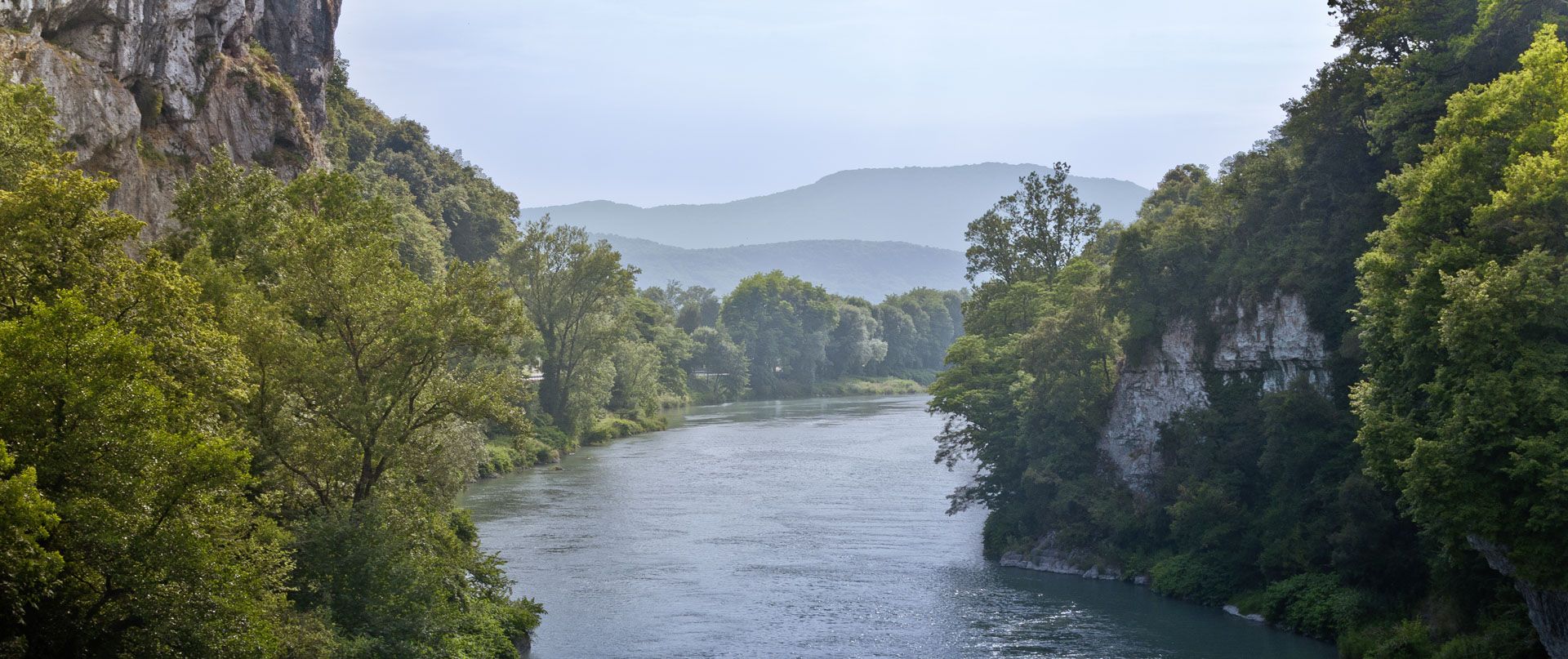
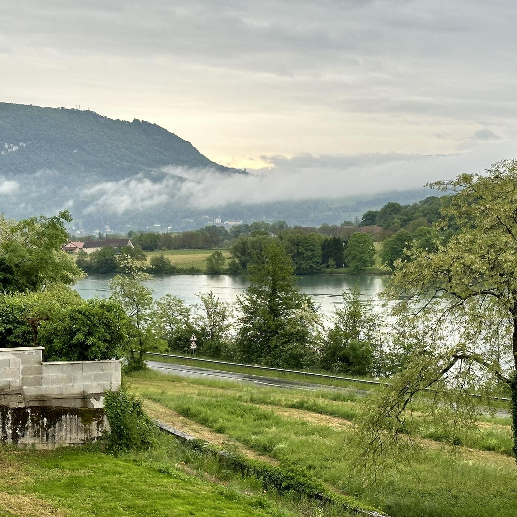
The trail runs along the Guiers river to its confluence with the Rhône, on the edge of Savoie.
0
0
The trail runs along the Guiers river to its confluence with the Rhône, on the edge of Savoie.
0
0
For a long time, this bridge marked the political border between the Kingdom of France (Dauphiné side) and the States of Savoy. In 1822, a border stone (stone no. 5) had been set in its center to demarcate the two territories. This historic stone has since been moved to the Place des Tilleuls in the village, where it serves as a fountain.
0
0
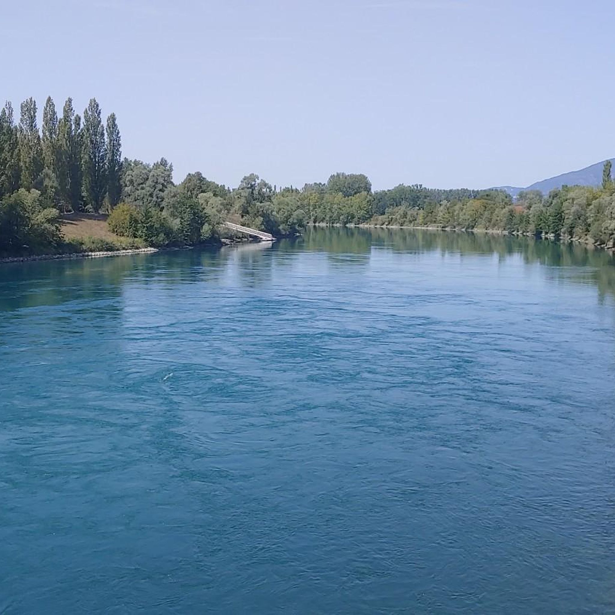
The area is located on the border between the departments of Isère and Ain, right next to the Pont d’Évieu. A specific ViaRhôna link allows you to reach the center of the commune of Les Avenières directly from this point via small country roads.
0
0
The building presents several remarkable medieval particularities for the region
0
0

Neither the castle nor the park are open to the public
0
0
A famous praline brioche 😃
0
0

Wow, what a beautiful waterfall! 🤩🤩
1
0
Frequently Asked Questions
How many mountain bike trails are available around Brangues?
There are over 50 mountain bike trails around Brangues, catering to various skill levels. You'll find a good mix of easy, moderate, and a few more challenging routes to explore.
What kind of terrain can I expect on mountain bike trails in Brangues?
The terrain around Brangues is characterized by an alluvial plain bordered by the Rhône River, offering a mix of flat and gently rolling areas. You can expect cross-country and touring-style mountain biking on varied surfaces, including dirt paths, along the river, and through natural reserves like the Méandre du Saugey.
Are there any easy or family-friendly mountain bike trails in Brangues?
Yes, Brangues offers several easy and family-friendly options. The region's relatively flat and gently rolling terrain, particularly along the ViaRhôna Cycle Path, is well-suited for leisurely rides. There are 16 easy trails available, such as the Groslée Bridge – The port of Murs-Geligneux loop from Groslée, which is an easy 31.2 km route.
What are some notable natural features or landmarks to see along the mountain bike trails?
While mountain biking, you can discover several natural features and landmarks. The ViaRhôna Cycle Path itself is a highlight, offering scenic views along the Rhône River. You might also encounter the Glandieu Waterfall or the tranquil Lac d'Ambléon. The Méandre du Saugey natural reserve is also a significant area for local flora and fauna.
Are there any circular mountain bike routes around Brangues?
Yes, many of the mountain bike trails around Brangues are designed as loops, allowing you to start and finish at the same point. Examples include the Étang de Lancin – Blue Valley loop from Morestel and the River break – Dirt path loop from Morestel.
What is the best time of year for mountain biking in Brangues?
The Auvergne-Rhône-Alpes region generally offers pleasant conditions for mountain biking from spring through autumn. Spring brings fresh greenery, while autumn provides beautiful colors. Summer is also suitable, though it's advisable to ride earlier in the day to avoid the midday heat. Always check local weather conditions before heading out.
What do other mountain bikers enjoy most about the trails in Brangues?
The mountain bike trails around Brangues are highly rated by the komoot community, with an average score of 4.5 stars. Reviewers often praise the diverse terrain, the scenic views along the Rhône River, and the well-maintained paths that cater to various skill levels. Many appreciate the opportunity for cross-country and touring-style rides through the rural countryside.
Are there any trails that pass by bridges or other interesting structures?
Yes, some routes incorporate interesting structures. For instance, the Groslée Bridge – Pont du Guiers and Fish Ladder loop from Groslée takes you through riverine landscapes and past the historic Groslée Bridge.
Can I find trails that offer views of the surrounding mountains?
While Brangues itself is in an alluvial plain, the broader Bas-Dauphiné region offers views of majestic mountains in the distance, providing a scenic backdrop for your rides. Trails that venture slightly further from the immediate river plain may offer more expansive vistas.
Are there any trails that explore the Méandre du Saugey natural reserve?
Yes, the Méandre du Saugey is a significant natural feature in the area, part of the National Natural Reserve of the Haut Rhône Français. While specific mountain bike trails directly within the most sensitive parts of the reserve might be restricted, routes like the 'Histoire(s) du Rhône autour de Brangues' hiking loop utilize parts of the ViaRhôna and lead into the reserve, allowing you to experience its diverse environment.
What are the typical distances and durations for mountain bike trails in this area?
The trails around Brangues vary significantly in length and duration. You can find routes ranging from shorter, easy rides to longer, more challenging excursions. For example, a moderate trail like the Étang de Lancin – Blue Valley loop from Morestel covers about 71.9 km and takes around 4 hours 7 minutes, while an easy route like the Groslée Bridge – The port of Murs-Geligneux loop from Groslée is 31.2 km and takes about 1 hour 37 minutes.
Is there public transport available to reach the mountain biking areas around Brangues?
Brangues is a commune in the Isère department. While specific public transport links directly to trailheads might be limited, regional bus services or trains to nearby larger towns like Morestel or La Tour-du-Pin could provide access points. It's recommended to check local public transport schedules for the most up-to-date information.
Most popular attractions around Brangues

Get inspired with the komoot mobile app


Explore more
Browse the best MTB trails in other regions.
