The best walks and hikes around Bréménil
4.6
(1130)
5,907
hikers
151
hikes
Hiking trails around Bréménil traverse a landscape characterized by diverse natural monuments and dense woodlands in the Grand Est region of France. The area features prominent rock formations and summits that offer expansive panoramic views. Paths range from narrow forest trails to wider routes, providing varied hiking experiences. This region is suitable for outdoor enthusiasts seeking to explore natural features and historical elements.
Best hiking trails around Bréménil
- The most popular hiking route is Circuit de la roche des Corbeaux…
Last updated: August 1, 2026
4.5
(19)
58
hikers
12.1km
03:20
200m
210m
Moderate hike. Good fitness required. Easily-accessible paths. Suitable for all skill levels.
4.7
(193)
915
hikers
11.0km
03:05
220m
220m
Moderate hike. Good fitness required. Easily-accessible paths. Suitable for all skill levels.

Sign up for free
4.7
(9)
17
hikers
10.0km
02:55
260m
260m
Moderate hike. Good fitness required. Easily-accessible paths. Suitable for all skill levels.
5.0
(7)
30
hikers
8.71km
02:33
240m
240m
Moderate hike. Good fitness required. Easily-accessible paths. Suitable for all skill levels.
5.0
(6)
23
hikers
16.3km
04:27
240m
240m
Moderate hike. Good fitness required. Easily-accessible paths. Suitable for all skill levels.
Get access to more routes and recommendations from other explorers.
Sign up for free
Already have an account?
Our route recommendations are based on thousands of hikes, rides, and runs completed by other people on komoot.
Start today with a free account
Your next adventure awaits.
Login or Signup

Tips from the Community

Shelter in case of rain, mystical place
0
0

very friendly
0
0

A great place to take a break. Including a beautiful view from the platform at the front.
0
0

"The Église Saint-Martin in Badonviller is a rare example of religious architecture in the Louis XVI style (1788). Although it is of Romanesque origin, its elegant façade is particularly striking, which is one of the few remaining examples of this style in the Lorraine region. Together with the Chapel of the Visitation in Nancy, this church forms a unique duo. The church was badly damaged during the First World War and partially rebuilt afterwards.
6
0
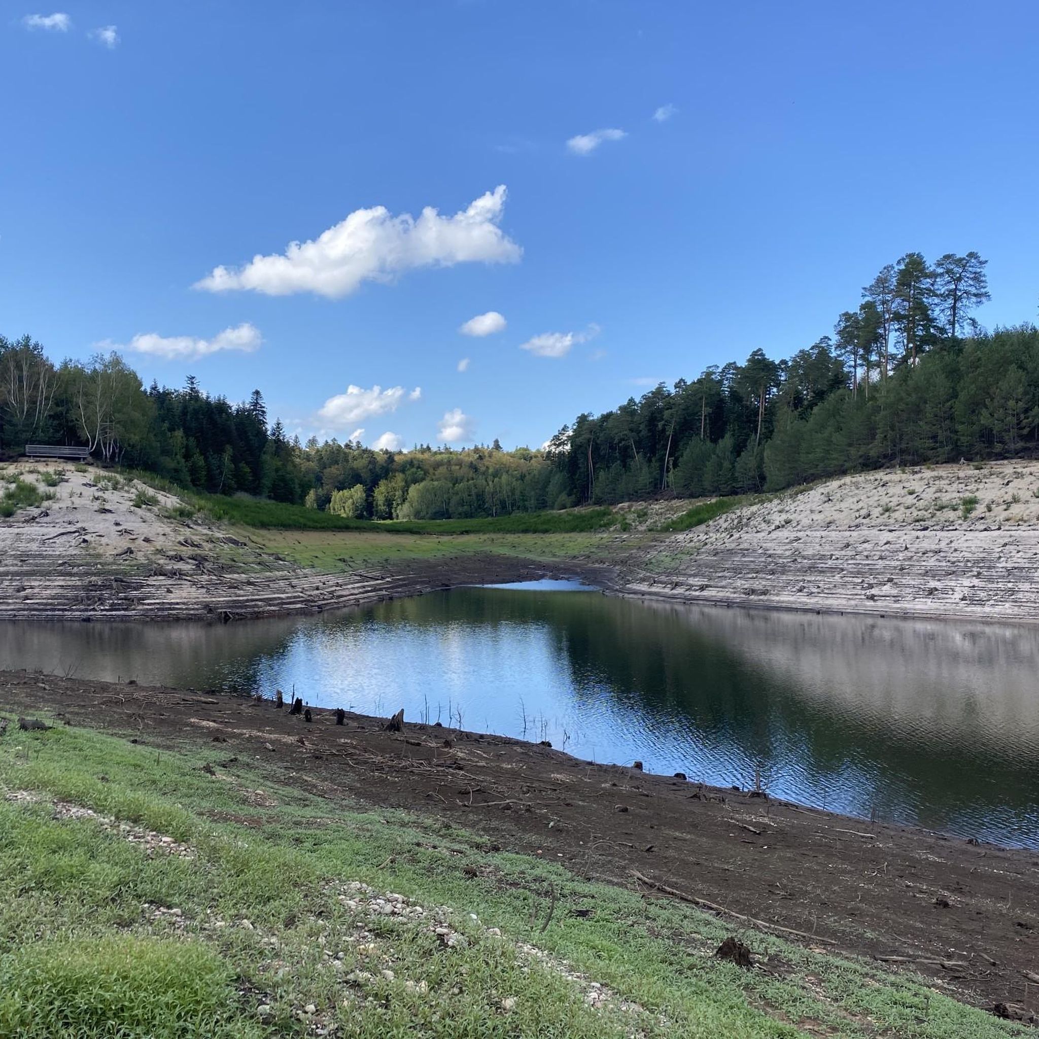
This impressive dam, located in the Vosges, forms an artificial water reservoir together with the Lac de Pierre-Percée. The dam is 69 metres high and 330 metres long, built with a clay core and lined with volcanic rock. It plays an important role in water management and energy production via an underground water connection with the Lac de la Plaine. The surrounding area offers beautiful views and is ideal for hiking along rocky paths, forests and viewpoints over the lake.
7
0

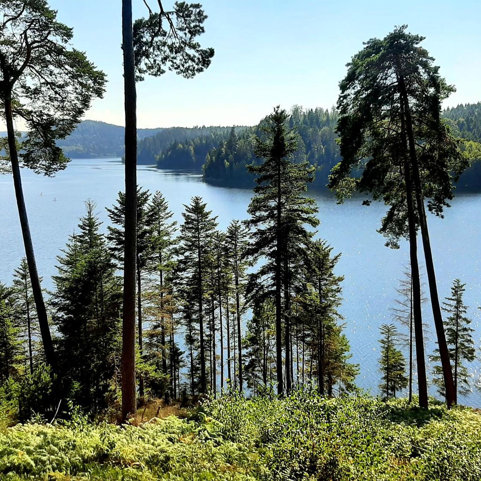
Pictures do not do justice to this lake and nearby hikes. Free parking serves as a good start to different hiking routes.
0
0

Here, someone has created works of art from natural materials. Recommended for imitation.
0
0
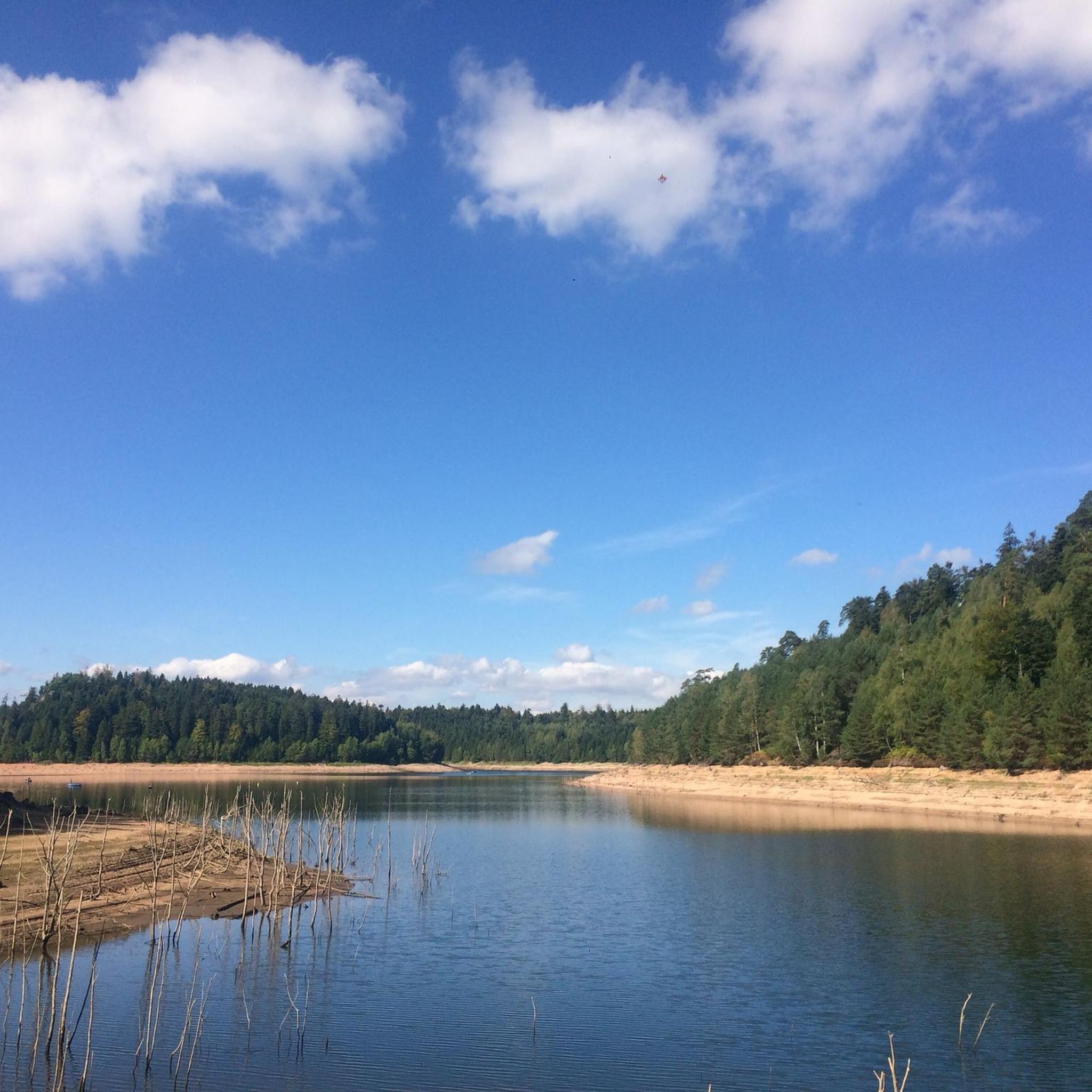
There is a small rest area right next to the lake, where you can enjoy a meal overlooking Lac de Pierre-Percée.
0
0
Frequently Asked Questions
How many hiking trails are available around Bréménil?
There are nearly 150 hiking trails around Bréménil, offering a wide range of options for all skill levels. This includes 59 easy routes, 68 moderate routes, and 20 difficult routes.
What kind of terrain can I expect on hikes in Bréménil?
The terrain around Bréménil is characterized by diverse natural monuments and dense woodlands. You'll find a mix of narrow forest paths and wider routes, often featuring prominent rock formations and summits that provide expansive panoramic views.
Are there any family-friendly hiking options in Bréménil?
Yes, Bréménil offers several easy routes suitable for families. For instance, the Poilus' Cave – Le rocher marteau loop from Pierre-Percée is an easy 4.36 km trail that takes about 1 hour 15 minutes, perfect for a shorter outing.
What are some notable natural landmarks or viewpoints to see while hiking?
Bréménil is rich in natural landmarks. You can explore the Tête du Coquin Summit for a 360-degree panoramic view, or visit the unique Pain de Sucre Rock Formation, where you might also find remnants from World War I. Other highlights include Fairies' Rock, resembling a cathedral, and Rambiroche, offering beautiful valley views.
Are there any circular walks available in the Bréménil area?
Yes, many trails in Bréménil are designed as circular routes. A popular option is the Hiking loop from Badonviller, a moderate 13 km trail that takes approximately 3 hours 35 minutes to complete.
What do other hikers say about the trails in Bréménil?
The trails in Bréménil are highly rated by the komoot community, with an average score of 4.6 stars from over 1,100 reviews. Hikers often praise the diverse natural monuments, varied forest paths, and the rewarding panoramic views from summits and rock formations.
Are there any trails that pass by lakes or water features?
Yes, the region around Bréménil features several beautiful lakes. While hiking, you might find trails that offer views of or access to Lake Pierre-Percée or Lac de la Plaine, providing serene water features along your journey.
What is the elevation gain like on trails around Bréménil?
Elevation gains vary depending on the trail's difficulty. Moderate routes, such as the Le rocher marteau – Arch Rock loop from Pierre-Percée, can have an elevation gain of around 259 meters. Easy trails will have less, while more difficult ones will feature greater ascents.
Can I find historical sites or remnants along the hiking trails?
Yes, the area has historical significance. Near the Pain de Sucre Rock Formation, you can find remnants from World War I (14-18), adding a historical dimension to your natural exploration. The Le rocher marteau – Poilus' Cave loop from Pierre-Percée also passes by the Poilus' Cave, a site with historical connections.
Are there any trails that offer views of the wider region?
Absolutely. The Tête du Coquin Summit provides a spectacular 360-degree panoramic view encompassing the Lorraine plain to the northeast and the Alsatian mountains to the southeast. Similarly, the Pain de Sucre Rock Formation also offers excellent views of the Tête du Coquin.
What is the typical duration for hikes in Bréménil?
Hike durations vary significantly. Easy routes, like the Poilus' Cave – Le rocher marteau loop, can be completed in about 1 hour 15 minutes. Moderate trails, such as the Circuit de la roche des Corbeaux, typically take around 3 hours 20 minutes.
Most popular attractions around Bréménil

Get inspired with the komoot mobile app


Explore more
Browse the best Hikes in other regions.
