The best walks and hikes around Leyrieu
4.6
(533)
2,882
hikers
316
hikes
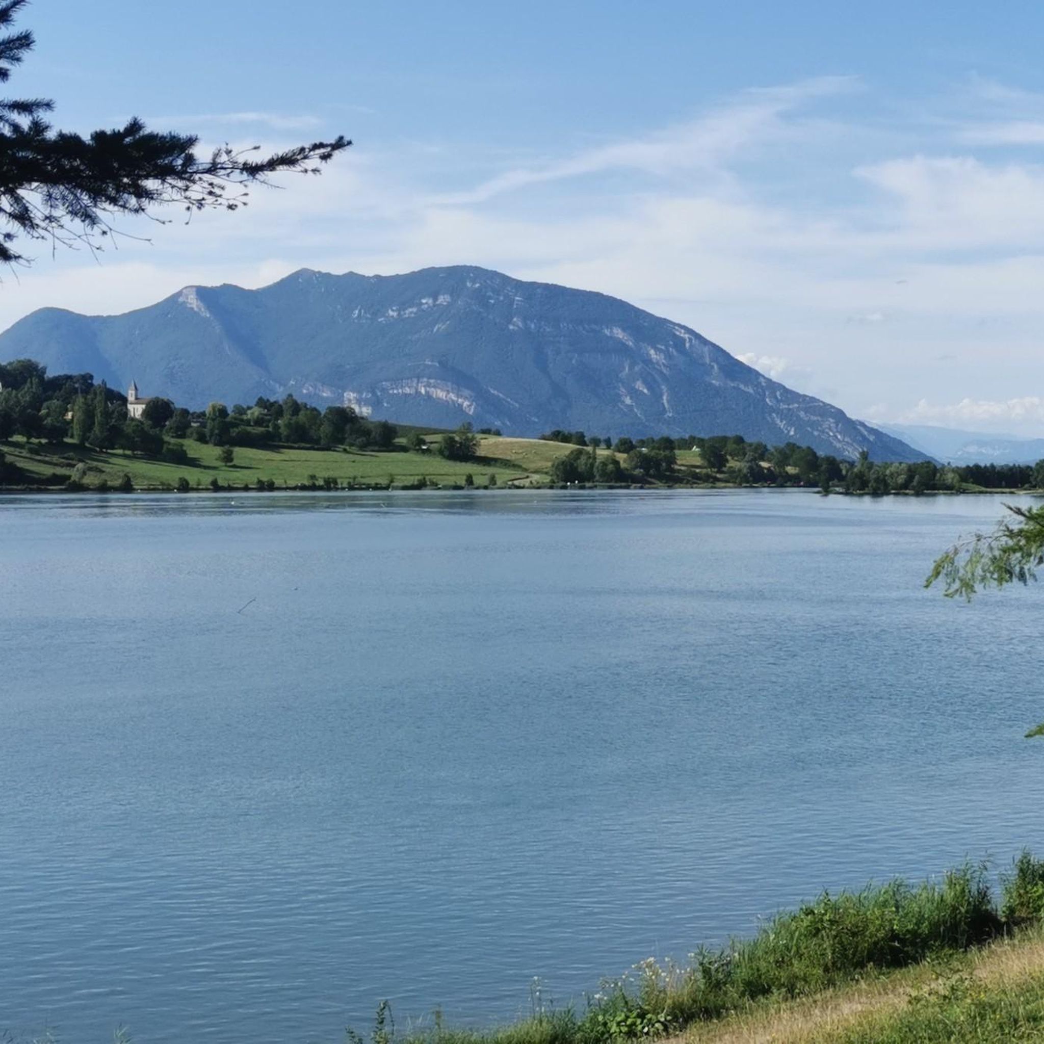
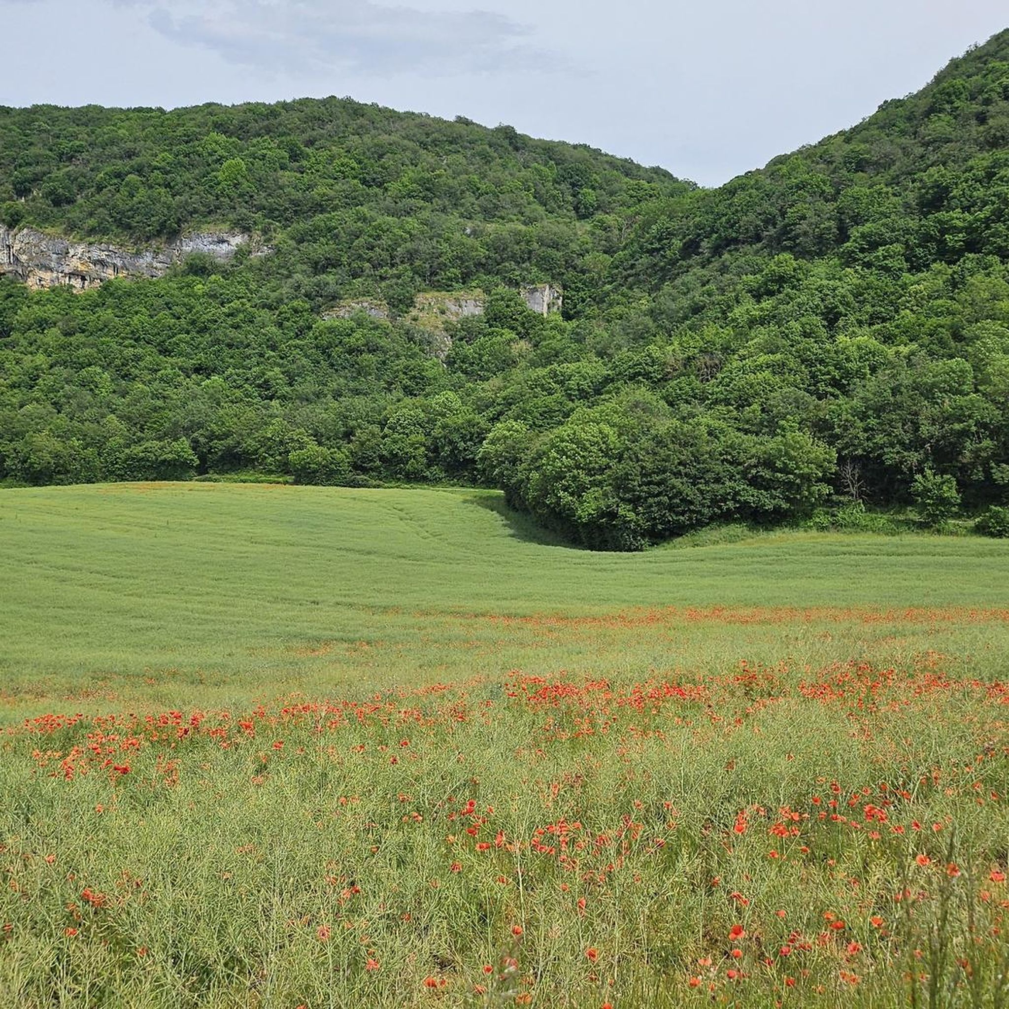
Hiking around Leyrieu offers diverse landscapes, situated against the limestone cliffs of the Isle Crémieu plateau. The region features the extensively wooded Dauphiné countryside and varied ecosystems between the Rhône river and the historic town of Crémieu. This geographical setting provides a rich tapestry of terrain, from open spaces to dense forests. The broader Isère department, home to Leyrieu, is known for its natural beauty, including mountain pastures and distinctive limestone formations.
Best hiking trails around Leyrieu
- The most popular…
Last updated: August 11, 2026
4.8
(13)
48
hikers
10.6km
03:08
310m
310m
Moderate hike. Good fitness required. Easily-accessible paths. Suitable for all skill levels.
4.5
(10)
37
hikers
3.70km
01:07
120m
120m
Easy hike. Great for any fitness level. Easily-accessible paths. Suitable for all skill levels.

Sign up for free
4.6
(5)
13
hikers
7.00km
02:04
190m
190m
Moderate hike. Good fitness required. Easily-accessible paths. Suitable for all skill levels.
5.0
(2)
17
hikers
10.00km
02:53
260m
260m
Moderate hike. Good fitness required. Easily-accessible paths. Suitable for all skill levels.
3.0
(2)
12
hikers
11.0km
03:14
300m
300m
Moderate hike. Good fitness required. Easily-accessible paths. Suitable for all skill levels.
Get access to more routes and recommendations from other explorers.
Sign up for free
Already have an account?
Our route recommendations are based on thousands of hikes, rides, and runs completed by other people on komoot.
Start today with a free account
Your next adventure awaits.
Login or Signup
Tips from the Community


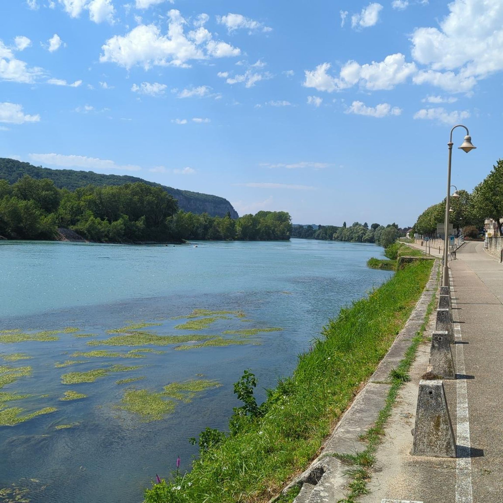
Beautiful little town, quite touristy, but worth the detour
0
0


Although first mentioned in 1540, the Cingle fortified house was undoubtedly built in the second half of the 14th century by the Pèlerin family. Originally composed of a main tower and a wing back to the west, it perhaps originally included a curtain wall. During the 15th century, the south wing was extended towards the west, a main building comprising a lower room and an upper room was attached to the north of the main tower, while a turret occupied on the first floor by an oratory and on the second by a dovecote is built to the east, projecting. A wing including the kitchen on the ground floor is also built at right angles to the north of the courtyard. The farm itself retains some architectural elements dating from the 16th century. Source: Ministry of Culture
1
0

Frequently Asked Questions
How many hiking trails are available around Leyrieu?
Leyrieu and its surroundings offer a wide array of hiking opportunities, with over 270 routes available. These trails cater to various preferences, from easy strolls to more challenging treks, ensuring there's something for every skill level.
What kind of terrain can I expect on hikes around Leyrieu?
The terrain around Leyrieu is quite diverse, characterized by the limestone cliffs of the Isle Crémieu plateau. You'll find extensively wooded Dauphiné countryside, varied ecosystems between the Rhône river and the historic town of Crémieu, and open spaces. The broader Isère department, where Leyrieu is located, is known for its 'wild and magnificent nature,' including lush forests, mountain pastures, and distinctive limestone formations.
Are there easy hiking trails suitable for beginners or casual walkers?
Yes, Leyrieu offers a good selection of easy trails. There are over 100 easy routes available, perfect for beginners or those looking for a relaxed walk. An example of an easy route is the Ramparts – Crémieu, medieval town loop from Crémieu, which is about 4.1 km long.
What are the best times of year to go hiking in Leyrieu?
The region around Leyrieu is generally pleasant for hiking from spring through autumn. Spring brings blooming flora, while autumn offers beautiful foliage. Summer is also suitable, especially on shaded trails, but it's always wise to check local weather conditions before heading out.
Are there any family-friendly hiking options in Leyrieu?
Many of the easier trails around Leyrieu are suitable for families. The diverse landscape offers routes with gentle inclines and interesting sights that can keep children engaged. Look for routes marked as 'easy' for the most family-friendly experiences.
Can I find circular hiking routes around Leyrieu?
Yes, there are several circular routes available, allowing you to start and end your hike in the same location. For instance, the Our Lady of La Salette. loop from Leyrieu is a moderate 7 km circular path offering scenic views directly from the village.
What interesting landmarks or viewpoints can I discover on hikes near Leyrieu?
Hiking around Leyrieu offers several notable landmarks and magnificent viewpoints. The trail to the Our Lady of La Salette Chapel (Chapelle des Aviateurs) culminates at a cliff top with superb panoramic views of the Lyon plains and the Pilat massif, and on clear days, even the distant Alps and Vercors massif. You can also explore historic sites like the Crémieu, medieval town and Cingle Castle.
Are there any castles or historical sites to visit while hiking?
Absolutely! The region is rich in history. You can explore the Crémieu, medieval town, which is featured in routes like Crémieu, medieval town – Ramparts loop from Crémieu. Other historical sites include Cingle Castle and Château Delphinal of Crémieu.
What do other hikers enjoy most about the trails in Leyrieu?
The trails in Leyrieu are highly rated by the komoot community, with an average score of 4.6 stars from over 400 reviews. Hikers often praise the diverse landscapes, the well-maintained paths, and the stunning panoramic views, especially from elevated points like the Chapelle des Aviateurs. The mix of wooded areas and open vistas is frequently highlighted.
Is there parking available near the hiking trailheads in Leyrieu?
While specific parking details for every trailhead are not always listed, Leyrieu is a village in a rural area, and parking is generally available in or near the village center and at common starting points for popular trails. It's advisable to check local signage or maps for designated parking areas before your hike.
Are there any trails that feature natural springs or water features?
Yes, some routes in the area incorporate natural water features. For example, the Verna and its seven fountains – Cingle Castle loop from Leyrieu leads through areas known for their natural springs, offering a refreshing element to your hike.
Most popular attractions around Leyrieu

Get inspired with the komoot mobile app


Explore more
Browse the best Hikes in other regions.
