The best mountain hikes around Domancy
4.6
(43)
462
hikers
38
hikes
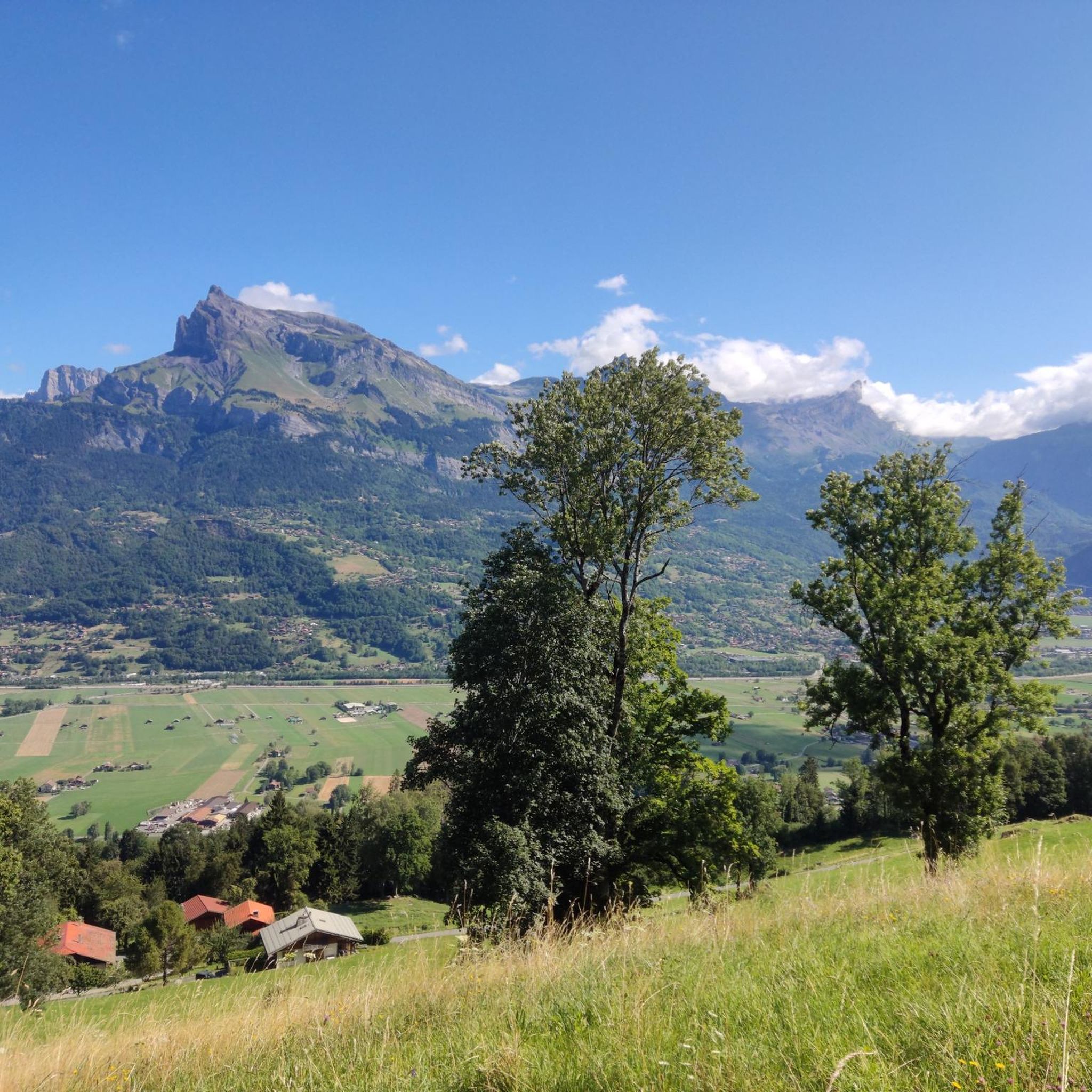
Mountaineering routes around Domancy are situated in the heart of Haute-Savoie, France, offering access to diverse alpine terrain. The region is characterized by majestic peaks, including Mont Joly and Aiguilette des Houches, providing extensive views of the Mont Blanc massif. Its varied landscape features high-altitude ascents, mountain passes, and challenging climbs, making it a prime location for alpine pursuits.
Best mountaineering routes around Domancy
- The most popular mountaineering route is 3-rope bridge loop from Passy, a 1.9 miles (3.1…
Last updated: May 15, 2026
4.8
(4)
77
hikers
3.12km
01:45
300m
300m
Hard mountaineering route. Great for any fitness level. Sure-footedness, sturdy shoes and alpine experience required.
11
hikers
19.2km
07:43
1,180m
1,180m
Hard mountaineering route. Very good fitness required. Sure-footedness, sturdy shoes and alpine experience required.

Sign up for free
6
hikers
9.93km
03:27
560m
560m
Moderate mountaineering route. Good fitness required. Easily-accessible paths. Suitable for all skill levels.
9
hikers
14.9km
05:37
860m
860m
Hard mountaineering route. Very good fitness required. Mostly accessible paths. Sure-footedness required.
8
hikers
12.6km
04:57
840m
840m
Moderate mountaineering route. Good fitness required. Mostly accessible paths. Sure-footedness required.
Get access to more routes and recommendations from other explorers.
Sign up for free
Already have an account?
Our route recommendations are based on thousands of hikes, rides, and runs completed by other people on komoot.
Start today with a free account
Your next adventure awaits.
Login or Signup

Tips from the Community

Die Seilbrücke is a section of the Klettersteig "Via Ferrata de Curalla"
3
0

very nice walk with beautiful views all along
1
0

No big interests just a chalet in a cul de sac and the Chavannes waterfall not very spectacular plus a torrent to see once be careful no signs indicating the route look carefully on komoot to find
1
0

Point of intersection Plaine Joux Altitude 1550m
1
0
Point of intersection Col du Jaillet Altitude 1723m The Col de Jaillet, or Col du Jaillet, is a pass located in the Aravis chain, separating the communes of Giettaz (Savoie), Sallanches and Cordon (Haute-Savoie). The pass was frequented very early, from Antiquity2, as evidenced by the presence of a border marker (just like the markers of the Col de l'Avenaz, and that of the Col du Petit Croisse Baulet3) marking the limit between the province of Graean Alps and the Viennese province4. The pass, located at a place called La Jorasse, at an altitude of 1,723 meters, was the main access route between the Mont-Blanc region and the Aravis. The Col de Jaillet is also part of the first sector of the Aravis natural zone of ecological, fauna and flora interest. It is home to a significant number of rare and protected species, such as the round-leaved sundew and the golden eagle.
1
0

Small restaurant with a great view
2
0
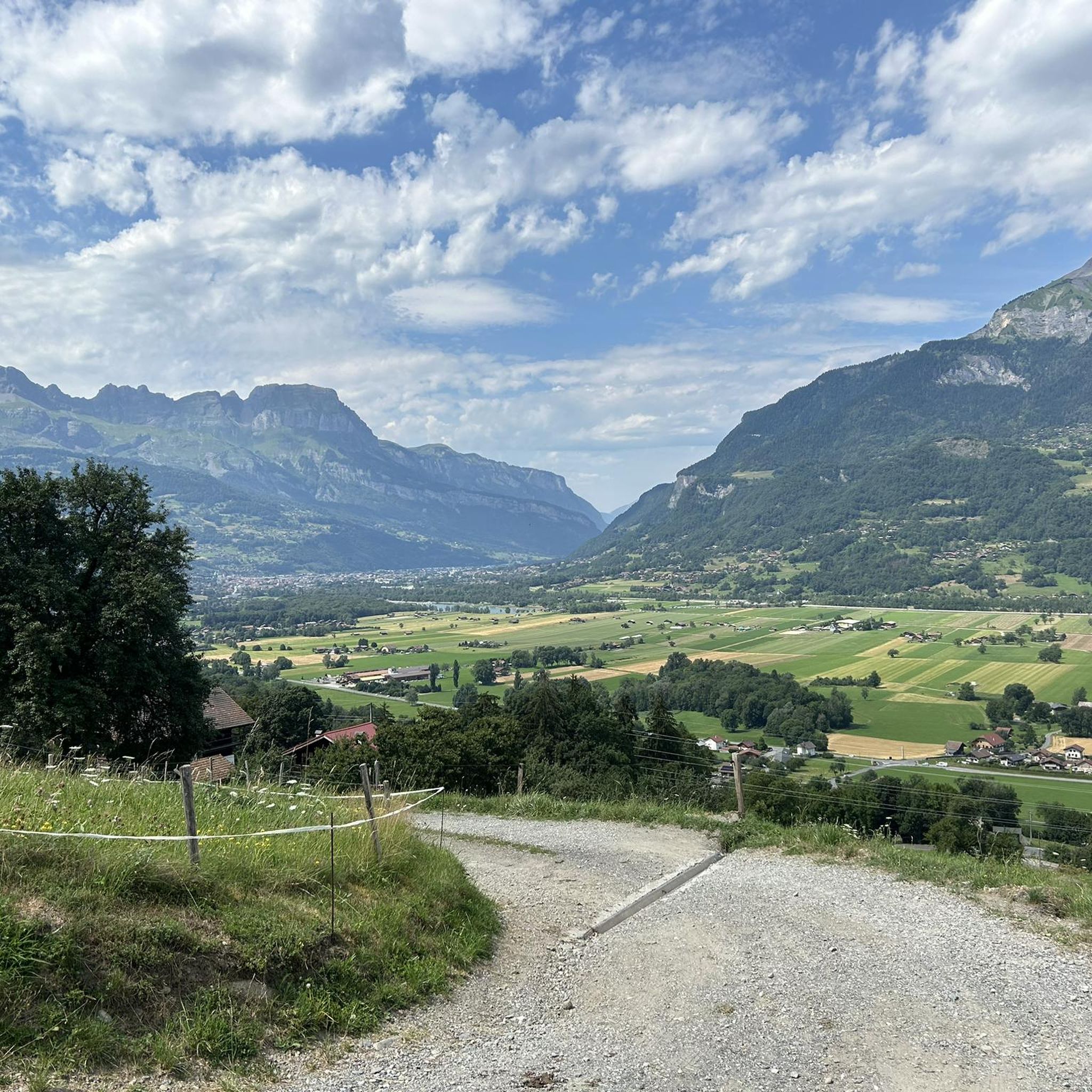
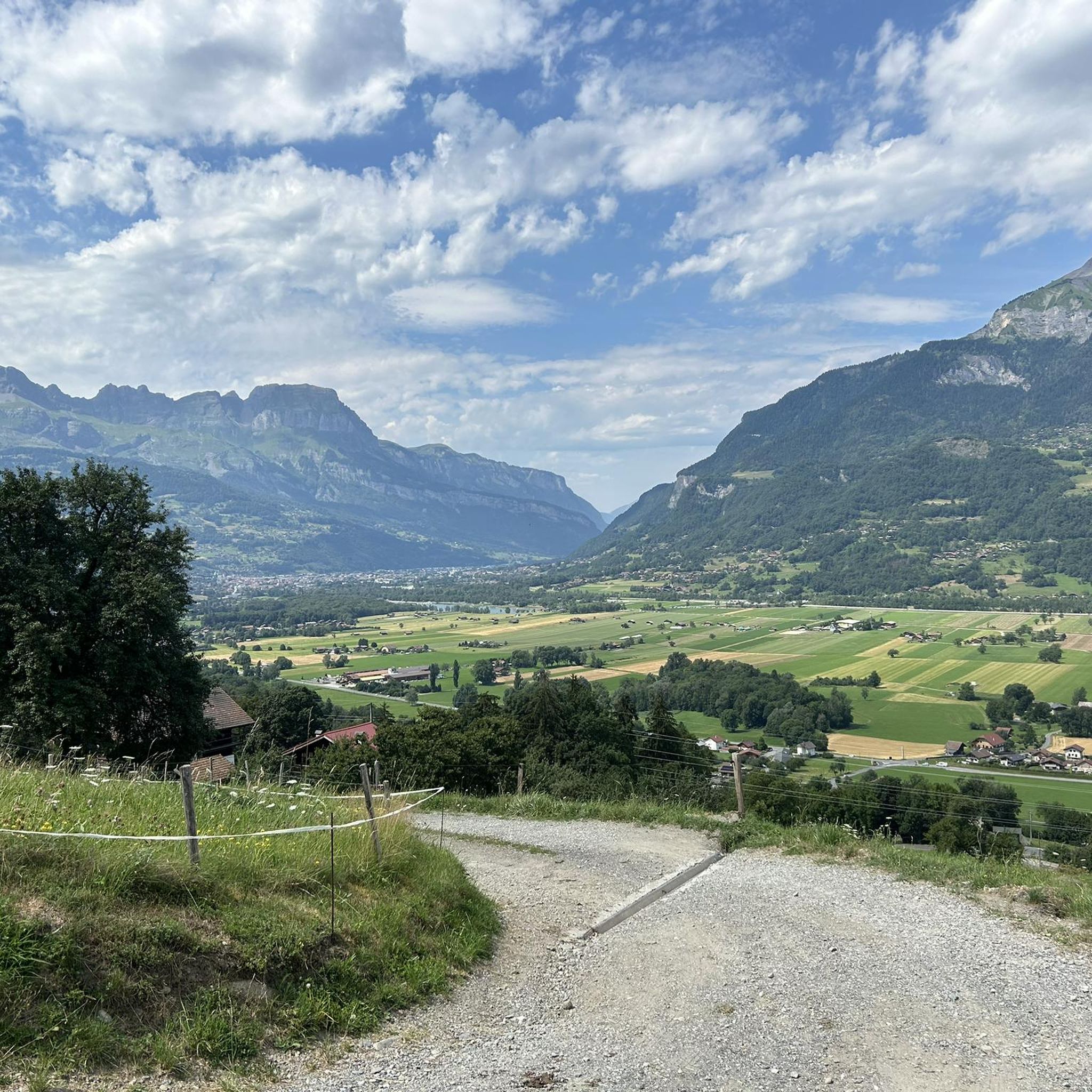
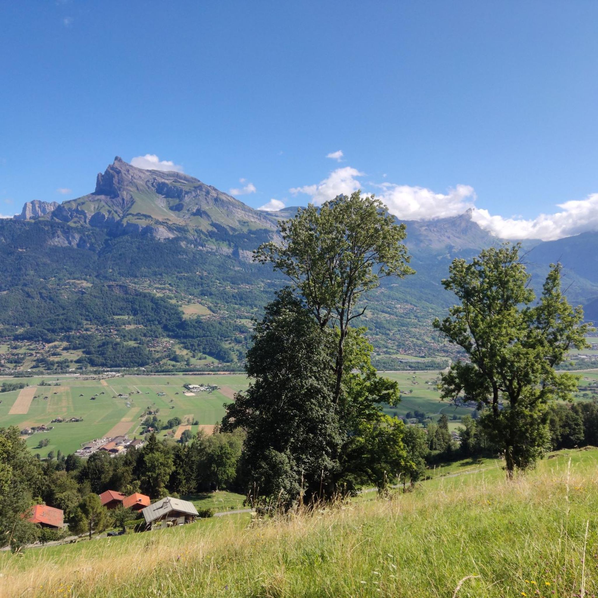
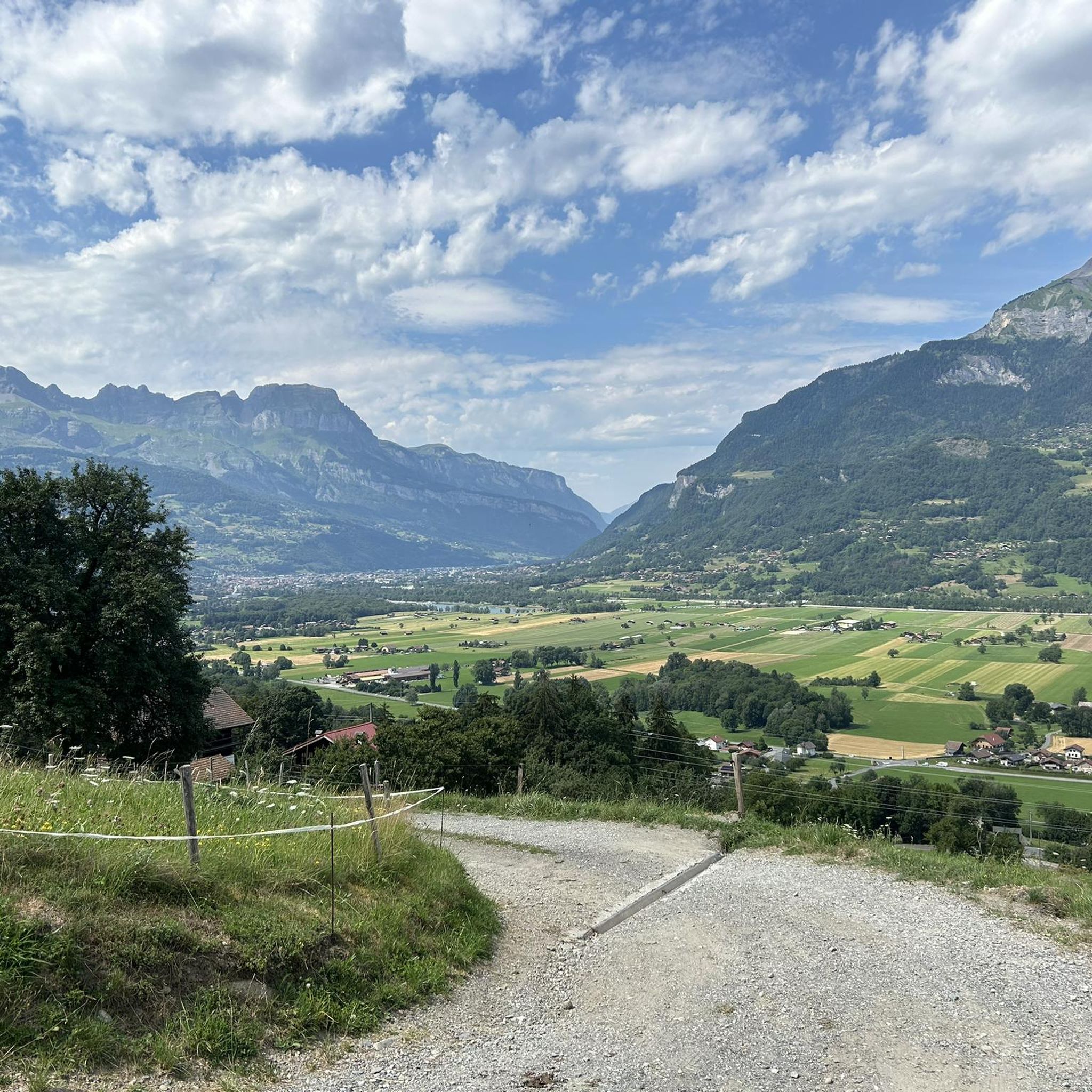
La Croix des Salles a must with a breathtaking view over the whole valley
1
1
very nice views I recommend
2
0
Frequently Asked Questions
How many mountaineering routes are available around Domancy?
There are over 40 mountaineering routes around Domancy, offering a wide range of experiences. You'll find 14 moderate routes and 26 difficult routes, catering to various skill levels.
What kind of terrain can I expect on mountaineering routes near Domancy?
The terrain around Domancy is incredibly diverse, featuring majestic peaks, high-altitude ascents, and challenging climbs. You can expect varied landscapes, from alpine forests and open slopes to exposed trails, with some areas potentially holding snow on steep slopes early in the summer. The region is known for its extensive views of the Mont Blanc massif.
Are there any family-friendly mountaineering options around Domancy?
While many routes are challenging, some areas around Domancy offer more accessible options. For instance, the region provides diverse terrain that can be adapted for family outings, though specific 'family-friendly mountaineering' routes might require careful selection based on children's ages and experience. Consider exploring the broader area for suitable hiking trails that offer alpine views without extreme technical difficulty.
Can I bring my dog on the mountaineering trails in Domancy?
Many trails in the Domancy area are dog-friendly, allowing you to enjoy the alpine environment with your canine companion. However, it's always recommended to check specific route regulations or local signage, especially in protected areas or near refuges, to ensure dogs are permitted and to understand any leash requirements.
What are some notable natural features or landmarks to see along the routes?
The Domancy area is rich in natural beauty. You might encounter the serene Green Lake, known for its distinctive hue and reflections of Mont Blanc. Other highlights include the impressive Arpenaz Waterfall, the scenic Voza Pass, and the challenging Fly Hole summit in the Aravis massif.
Are there any circular mountaineering routes near Domancy?
Yes, there are several circular routes available. For example, the Christomet, Combloux loop from Combloux is a moderate 5.9-mile trail that takes about 3 hours 20 minutes. Another option is the more challenging Petit Croisse loop from Demi-Quartier, an 11.5-mile difficult route with over 3,800 feet of elevation gain.
What is the best time of year for mountaineering in Domancy?
The best time for mountaineering in Domancy generally aligns with the summer and early autumn months when the weather is more stable and snowmelt has progressed. However, some exposed trails, particularly in higher altitudes like the 'Fly Hole,' can retain snow on steep slopes early in the summer, so always check conditions before heading out.
What do other mountaineers say about the routes in Domancy?
The mountaineering routes in Domancy are highly regarded by the komoot community, holding an average rating of 4.6 stars from over 40 reviews. Many users appreciate the diverse terrain and the extensive views of the Mont Blanc massif that these routes offer.
Are there any shorter, challenging routes for a quick but intense experience?
If you're looking for a short but intense challenge, consider the 3-rope bridge loop from Passy. This difficult 1.9-mile route features significant elevation gain over a short distance and can be completed in about 1 hour 45 minutes.
Are there any moderate mountaineering routes for those building experience?
Absolutely. For those seeking a moderate challenge, the Petit Croisse loop from Parking Lezaive d'en Haut is a great option. This 7.7-mile route involves an elevation gain of around 827 meters and typically takes about 4 hours 50 minutes to complete.
What are the typical elevation gains on mountaineering routes in Domancy?
Elevation gains vary significantly depending on the route's difficulty and length. For example, a shorter difficult route like the 3-rope bridge loop from Passy involves nearly 300 meters of ascent. Longer, more challenging routes, such as the Petit Croisse loop from Demi-Quartier, can feature over 1,100 meters of elevation gain.
Are there any refuges or huts along the mountaineering routes?
Yes, you may find refuges in the broader Domancy area that can serve as resting points or overnight stays for mountaineers. For instance, the Miage Refuge is a notable highlight in the region, offering a place to pause and enjoy the alpine environment.
Most popular routes around Domancy
Most popular attractions around Domancy

Get inspired with the komoot mobile app


Explore more
Browse the best Mountain Hikes & Routes in other regions.
