The best walks and hikes around Mauny
4.4
(768)
3,779
hikers
230
hikes
Hiking around Mauny offers diverse trails through the scenic landscape of the Seine-Maritime department. The region is characterized by its proximity to the Seine River, featuring numerous loops that provide views of its meanders and surrounding woodlands. Hikers can expect a mix of riverside paths and routes that ascend gently through forested areas, revealing the natural beauty of the area. The terrain generally includes moderate elevation changes, making it accessible for various hiking levels.
Best hiking trails around Mauny
- The…
Last updated: May 20, 2026
5.0
(2)
19
hikers
11.0km
02:47
20m
20m
Moderate hike. Good fitness required. Easily-accessible paths. Suitable for all skill levels.
4.0
(1)
9
hikers
12.5km
03:28
210m
210m
Moderate hike. Good fitness required. Easily-accessible paths. Suitable for all skill levels.

Sign up for free
5.0
(2)
5
hikers
10.7km
02:55
160m
160m
Moderate hike. Good fitness required. Easily-accessible paths. Suitable for all skill levels.
5.0
(2)
12
hikers
8.24km
02:07
30m
30m
Moderate hike. Good fitness required. Easily-accessible paths. Suitable for all skill levels.
4.6
(7)
15
hikers
10.3km
02:44
100m
100m
Moderate hike. Good fitness required. Easily-accessible paths. Suitable for all skill levels.
Get access to more routes and recommendations from other explorers.
Sign up for free
Already have an account?
Our route recommendations are based on thousands of hikes, rides, and runs completed by other people on komoot.
Start today with a free account
Your next adventure awaits.
Login or Signup
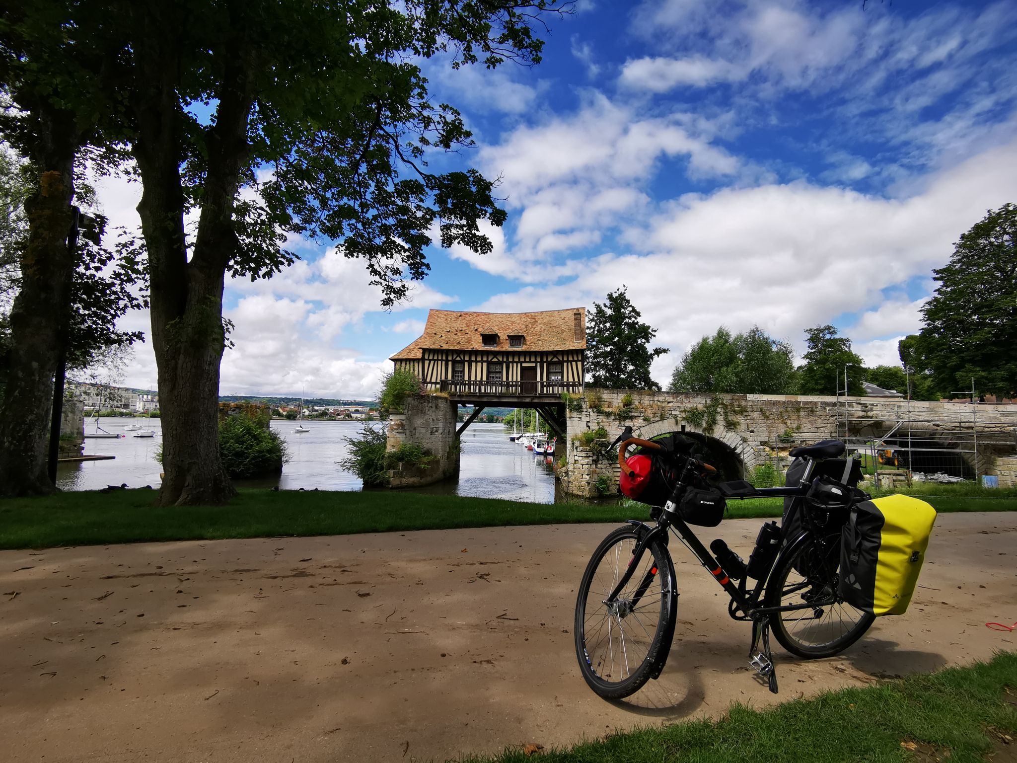
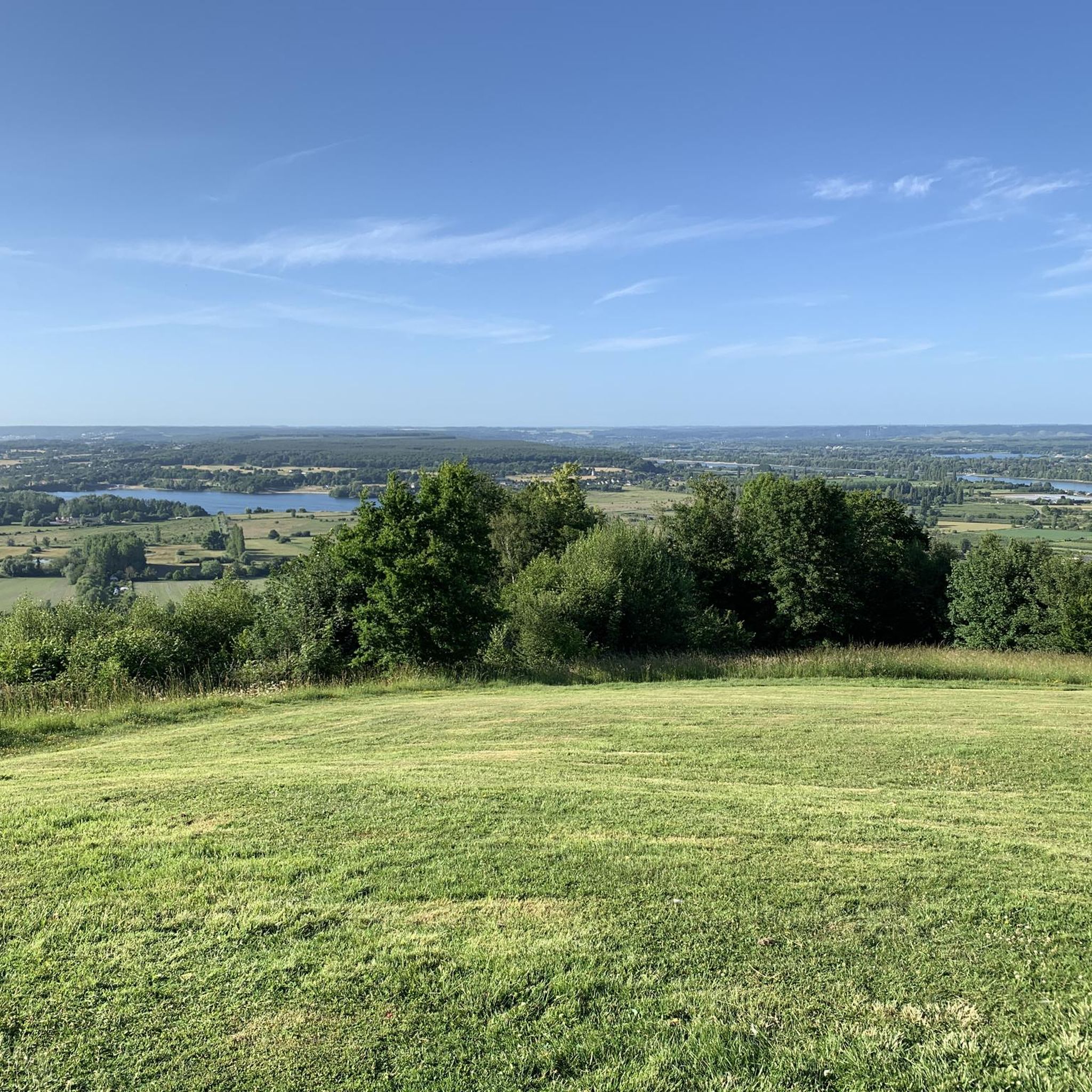

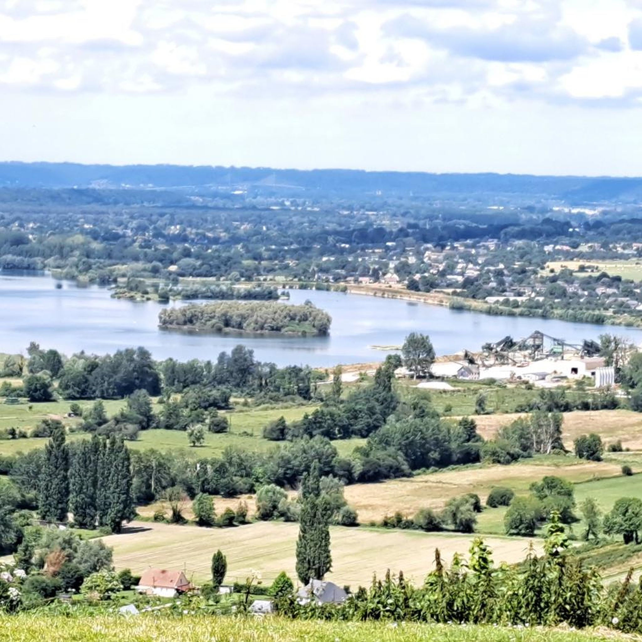
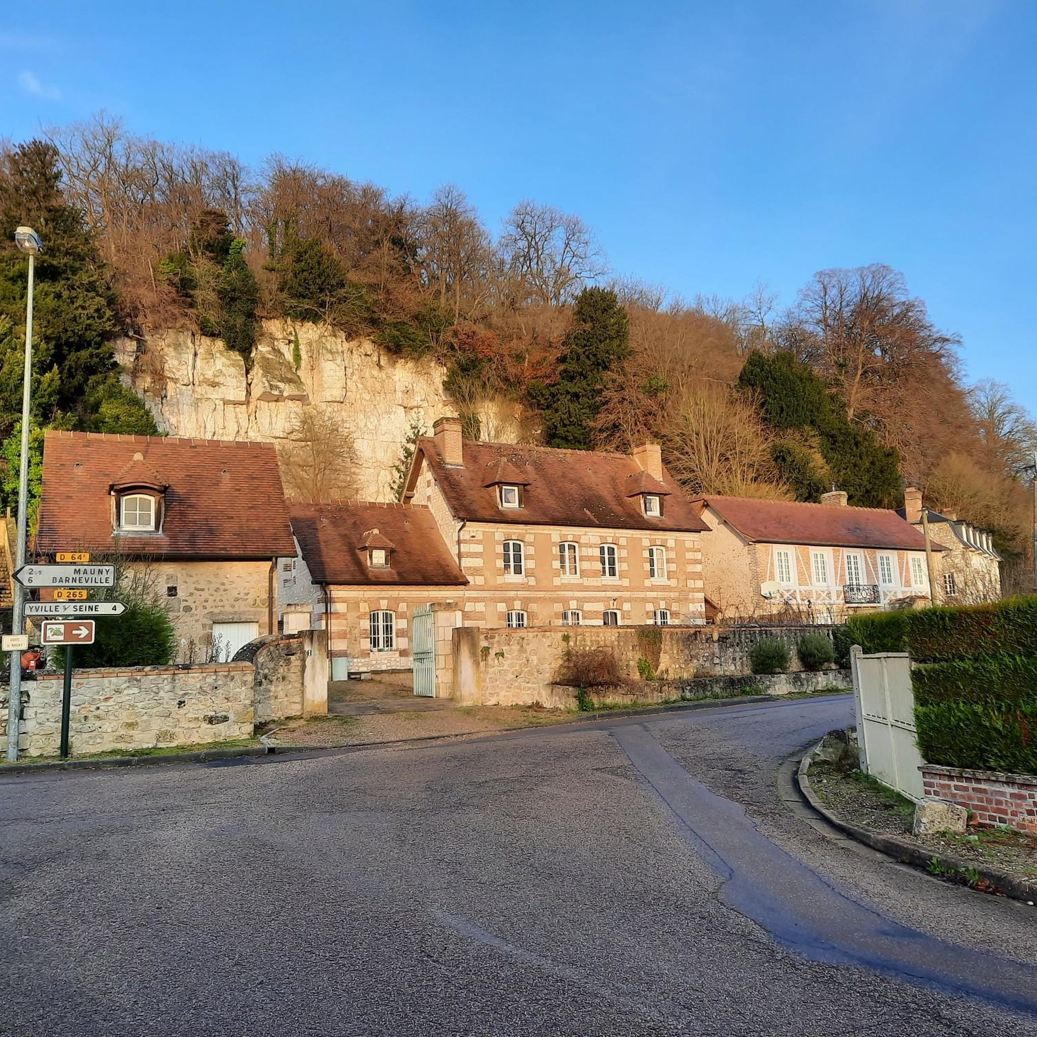
Other adventures around Mauny

Tips from the Community

Crossing every 20 minutes during the day. No crossing during lunch break
1
0

Open from 6 a.m. to 10 p.m. and it's free! It makes it easy to get from one bank to the other.
0
0

Between Rouen and Le Havre, the Seine forms increasingly pronounced loops before flowing into the English Channel. It is this environment that gave rise to the Boucles de la Seine Normande nature park. From this high vantage point, you can admire the landscapes.
0
0

On the banks of the Seine, on a good cycle path, you can appreciate the tranquility of the place.
0
0

Breathtaking view and departure of hiking trail
0
0

This road descends quickly / steeply to the Seine
0
0
Binoculars are useful here!
0
0
Views of the Seine and Jumièges Abbey between the trees
0
0
Frequently Asked Questions
How many hiking trails are available around Mauny?
There are over 230 hiking trails around Mauny, offering a wide variety of options for different skill levels. Approximately 75 of these are considered easy, 150 are moderate, and a few are more challenging.
Are there any easy hiking trails suitable for beginners or a relaxed stroll?
Yes, Mauny offers around 75 easy hiking routes. These trails typically feature gentle terrain and shorter distances, perfect for a leisurely walk or those new to hiking. While specific easy routes aren't detailed here, you can find many options on komoot by filtering for 'easy' difficulty.
What kind of views can I expect on hikes in the Mauny area?
Hiking around Mauny is characterized by beautiful views of the Seine River and its distinctive meanders. Many trails wind through dense woodlands and offer elevated viewpoints, providing expansive scenic vistas of the river valley and surrounding countryside. For example, the View of the Seine River – Path through the woods loop from Mauny is known for its excellent river views.
Are there circular hiking routes around Mauny?
Yes, circular routes are a defining feature of hiking in Mauny. Many trails are designed as loops, allowing you to start and end at the same point without retracing your steps. Examples include the popular Ball tank loop from Saint-Pierre-de-Manneville and the Belvedere – View of a Meander of the Seine loop from Yville-sur-Seine.
What do other hikers enjoy most about the trails in Mauny?
The hiking trails in Mauny are highly rated by the komoot community, with an average score of 4.5 stars from over 700 reviews. Hikers often praise the diverse landscape, the stunning river views, and the well-maintained paths through woodlands. The variety of loop trails and the accessibility for different skill levels are also frequently highlighted.
Are there any historical or cultural landmarks to see near the hiking trails?
Yes, the region around Mauny is rich in history. You can explore significant sites such as the Ruins of Jumièges Abbey or the well-preserved Jumièges Abbey itself. Other notable attractions include Saint-Georges de Boscherville Abbey and the historic Robert-le-Diable Castle, offering interesting detours for history enthusiasts.
Can I find hikes that offer views of the Seine River?
Absolutely. Many trails in the Mauny area are designed to showcase the beauty of the Seine River. Routes like the View of a Meander of the Seine loop from Barneville-sur-Seine specifically highlight the river's meanders and offer picturesque riverside paths and elevated viewpoints.
Are there any trails that pass through charming villages or towns?
While many trails focus on natural landscapes, some routes may pass near or through small, picturesque settlements. The village of La Bouille, for instance, is a charming spot on the Seine that can be explored in conjunction with nearby hikes, offering a glimpse into local life and architecture.
What is the typical terrain like on hikes around Mauny?
The terrain around Mauny generally features a mix of riverside paths and routes that ascend gently through forested areas. You can expect moderate elevation changes, making most trails accessible without being overly strenuous. The paths are often well-maintained, suitable for a comfortable hiking experience.
Are there any longer, more challenging hikes for experienced hikers?
While the majority of trails are moderate, there are a few more challenging options for experienced hikers. These routes might involve longer distances or slightly more significant elevation gains. For example, the View of the Seine River – Path through the woods loop from Mauny is a moderate 12.5 km route that provides a good workout with varied terrain.
What is the best time of year to go hiking in Mauny?
The Mauny region is enjoyable for hiking throughout much of the year. Spring and autumn offer pleasant temperatures and beautiful scenery with blooming flowers or vibrant fall foliage. Summer is also popular, though it can be warmer, while winter hikes can be serene, especially along the river, provided conditions are dry.
Most popular attractions around Mauny

Get inspired with the komoot mobile app


Explore more
Browse the best Hikes in other regions.
