The best walks and hikes around Ville-La-Grand
4.5
(1100)
11,661
hikers
570
hikes
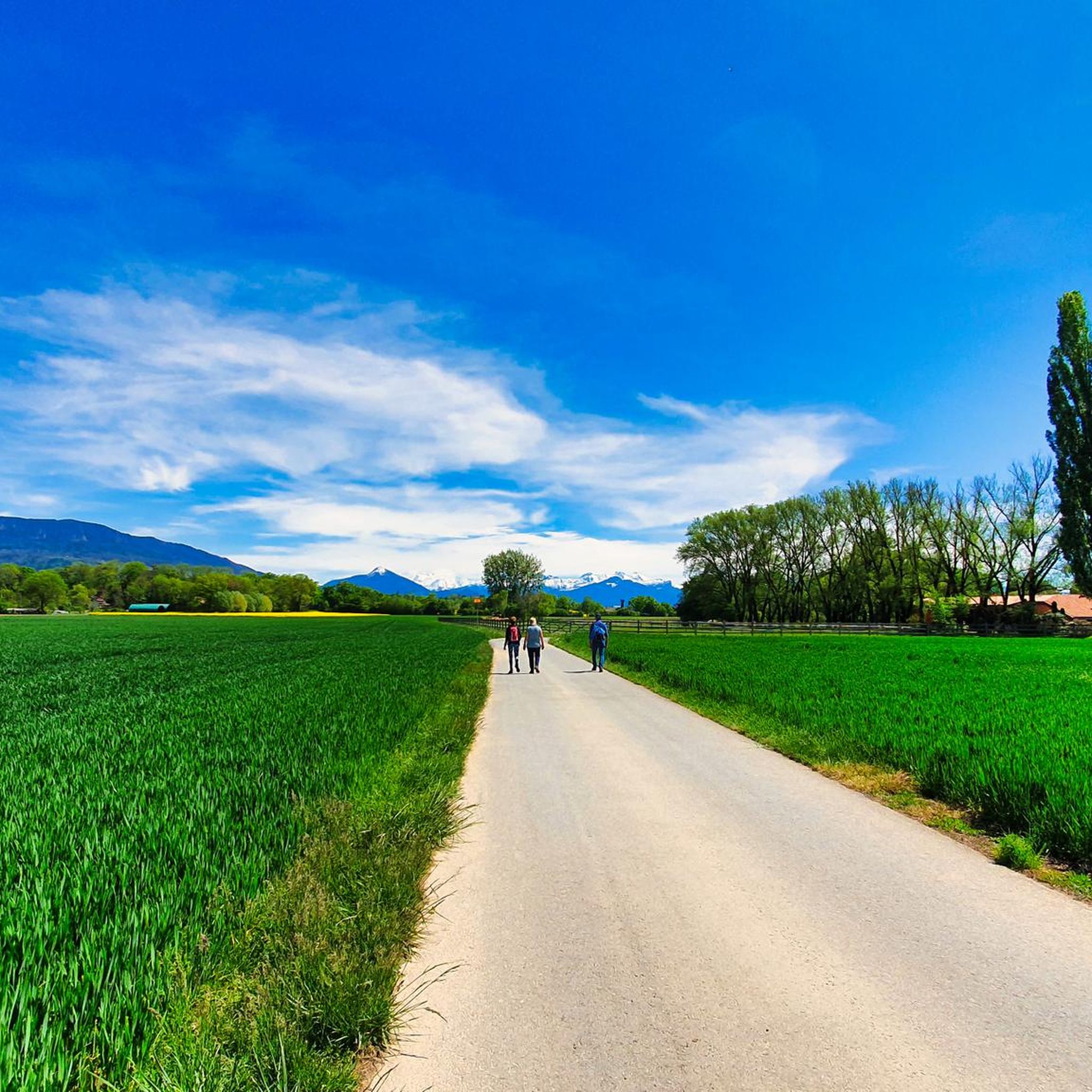
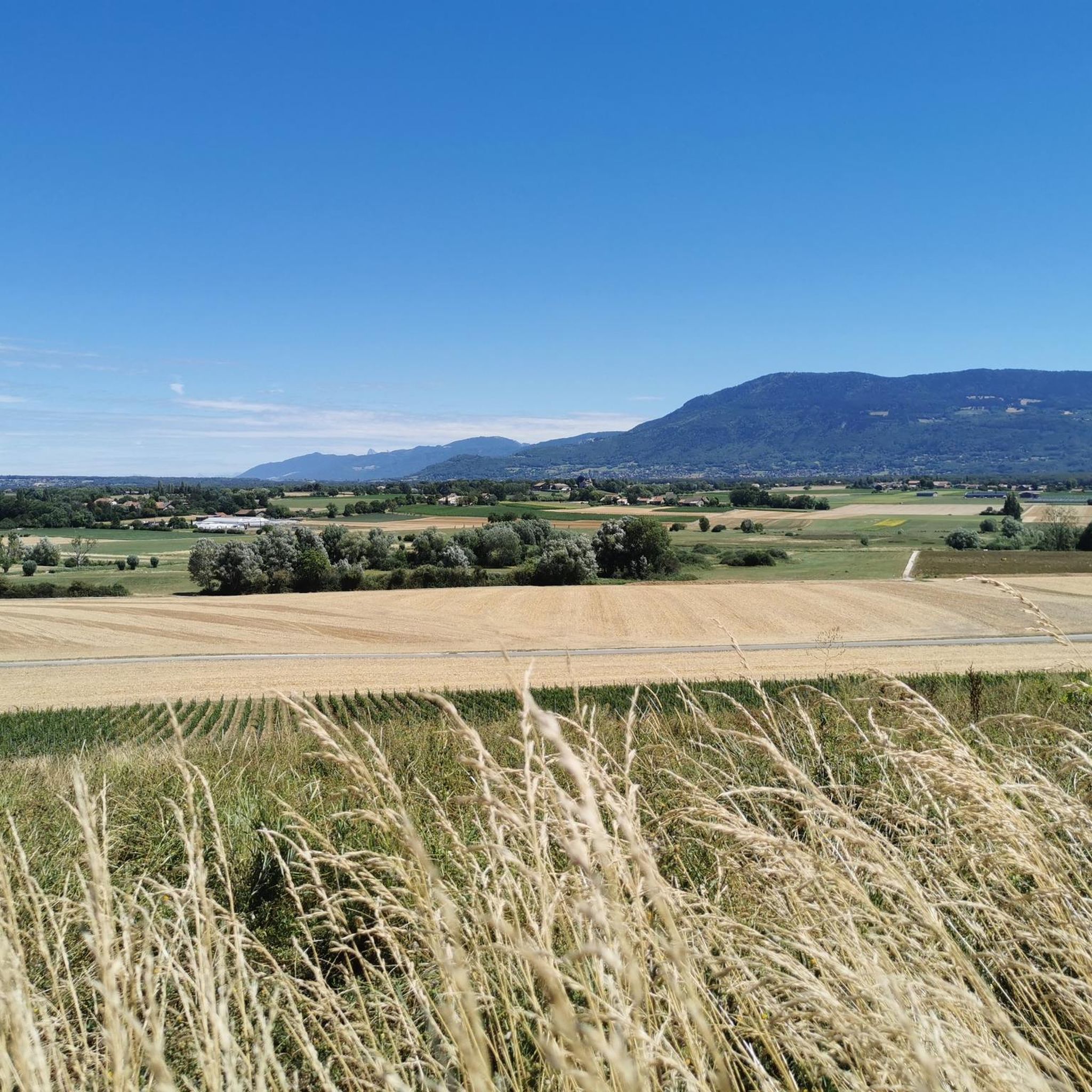
Hiking around Ville-La-Grand, located in the Haute-Savoie department of France, offers access to varied terrain ranging from gentle countryside paths to more challenging alpine environments. The region is characterized by its hilly landscapes and proximity to the Swiss border, providing diverse natural features for outdoor exploration. Hikers can find trails that traverse woodlands, open fields, and offer views towards Geneva and the surrounding mountains.
Best hiking trails around Ville-La-Grand
- The most popular hiking route is Around Presinge — large loop…
Last updated: May 12, 2026
5.0
(1)
5
hikers
20.4km
05:18
120m
120m
Hard hike. Very good fitness required. Mostly accessible paths. Sure-footedness required.
4.0
(1)
1
hikers
10.6km
02:43
50m
50m
Hike the 6.6-mile Puplinge - Presinge Loop, a moderate route near Geneva, offering countryside views and border stone sightings.

Sign up for free
4.4
(12)
30
hikers
6.42km
01:41
50m
50m
Easy hike. Great for any fitness level. Easily-accessible paths. Suitable for all skill levels.
4.8
(5)
17
hikers
14.4km
04:34
540m
540m
Moderate hike. Good fitness required. Mostly accessible paths. Sure-footedness required.
5.0
(1)
8
hikers
17.4km
05:16
550m
550m
Hard hike. Very good fitness required. Mostly accessible paths. Sure-footedness required.
Get access to more routes and recommendations from other explorers.
Sign up for free
Already have an account?
Our route recommendations are based on thousands of hikes, rides, and runs completed by other people on komoot.
Start today with a free account
Your next adventure awaits.
Login or Signup

Tips from the Community


Small, easily reachable summit which allows a wide variety of family itineraries.
0
0

A quiet and relaxing place in the middle of the forest with picnic tables, benches (some in the shade). Suitable for a picnic or as a rest area. There are also public toilets nearby.
1
0
One of the stones which represents the border between France and Switzerland. There are no customs, so you can easily enter France, however, it is not on the road.
0
0
The Pont Bochet is a bridge accessible on foot. There is a view of the small river La Seymaz. It is a very quiet place to enjoy the greenery of nature.
0
0
Jussy is a commune located to the east of the canton of Geneva. 55 percent of its land is used for agricultural purposes. 36 percent is forested and other parts are residential areas. There are only 1,200 people living here. There are two local restaurants in the center of the town, but no grocery stores.
0
0
Stone which marks the border between two communes of the canton, J means Jussy, P means Presinge.
0
0
Frequently Asked Questions
How many hiking trails are available around Ville-La-Grand?
There are over 500 hiking routes around Ville-La-Grand, offering a wide range of options for all skill levels. You'll find everything from easy strolls through the countryside to more challenging ascents in the alpine foothills.
What kind of terrain can I expect on hikes near Ville-La-Grand?
The terrain around Ville-La-Grand is quite varied. You can expect hilly landscapes, woodlands, open fields, and paths that offer views towards Geneva and the surrounding mountains. Some trails venture into more alpine environments, especially closer to the Portes du Soleil area.
Are there any easy, family-friendly hiking routes?
Yes, there are over 300 easy routes suitable for families. For a pleasant, shorter walk, consider the Moulin de Carra loop from Annemasse, which is 6.4 km long and features gentle elevation changes.
Can I find circular hiking routes in the area?
Many of the trails around Ville-La-Grand are circular, allowing you to start and end at the same point. An example is the Around Puplinge — loop through the countryside east of Geneva, a moderate 10.6 km route through open landscapes.
Are there any hikes with good viewpoints or natural features?
Absolutely. The region offers numerous scenic spots. For panoramic views, the Little Salève – View of Geneva loop from Annemasse provides stunning vistas of Geneva. You can also find highlights like the View of Mont Blanc and Lake Annecy from Mont Salève or the View of the Salève plateau from Les Crêts.
What are the options for more challenging hikes?
For those seeking a more strenuous experience, there are 33 difficult routes. A notable challenging option is the Around Presinge — large loop through the Bois de Neyden, a 20.4 km trail exploring extensive woodlands.
Are dogs allowed on the hiking trails?
Generally, dogs are welcome on most hiking trails around Ville-La-Grand, especially in the countryside and woodland areas. However, it's always advisable to keep them on a leash, particularly in nature reserves or agricultural areas, and to check local regulations for specific routes.
What is the best time of year to go hiking in Ville-La-Grand?
The best time to hike around Ville-La-Grand is typically from spring through autumn (April to October) when the weather is mild and trails are clear. Summer offers lush greenery, while autumn provides beautiful fall foliage. Higher altitude trails may be accessible later in the season due to snow.
Are there any hikes that lead to lakes or water features?
While Ville-La-Grand itself is not directly on a large lake, its proximity to Geneva means you can find routes that lead to or offer views of Lake Geneva. The Eaux-Vives Beach loop from Annemasse is a moderate route that takes you towards the lake. You can also explore highlights like the Jet d'Eau Fountain or the Lakeside Path along Lake Geneva.
What do other hikers say about the trails in Ville-La-Grand?
The trails in Ville-La-Grand are highly rated by the komoot community, with an average score of 4.6 stars from over 1,000 reviews. Hikers often praise the diverse landscapes, ranging from quiet woodlands to open countryside, and the scenic views towards Geneva and the surrounding alpine foothills.
Is public transport available to reach trailheads?
Ville-La-Grand is well-connected, and public transport options are available to reach various starting points for hikes, especially towards Annemasse and the Geneva area. It's recommended to check local bus and train schedules for specific trailheads before planning your trip.
Are there any historical sites or landmarks to explore while hiking?
While the region is primarily known for its natural beauty, its proximity to Geneva means you can combine hiking with visits to historical and cultural landmarks. The city of Geneva itself offers numerous attractions, and some trails provide views of significant features like the Jet d'Eau Fountain.
Most popular routes around Ville-La-Grand
Most popular attractions around Ville-La-Grand

Get inspired with the komoot mobile app


Explore more
Browse the best Hikes in other regions.
