The 5 Most Amazing Peaks around Lucinges
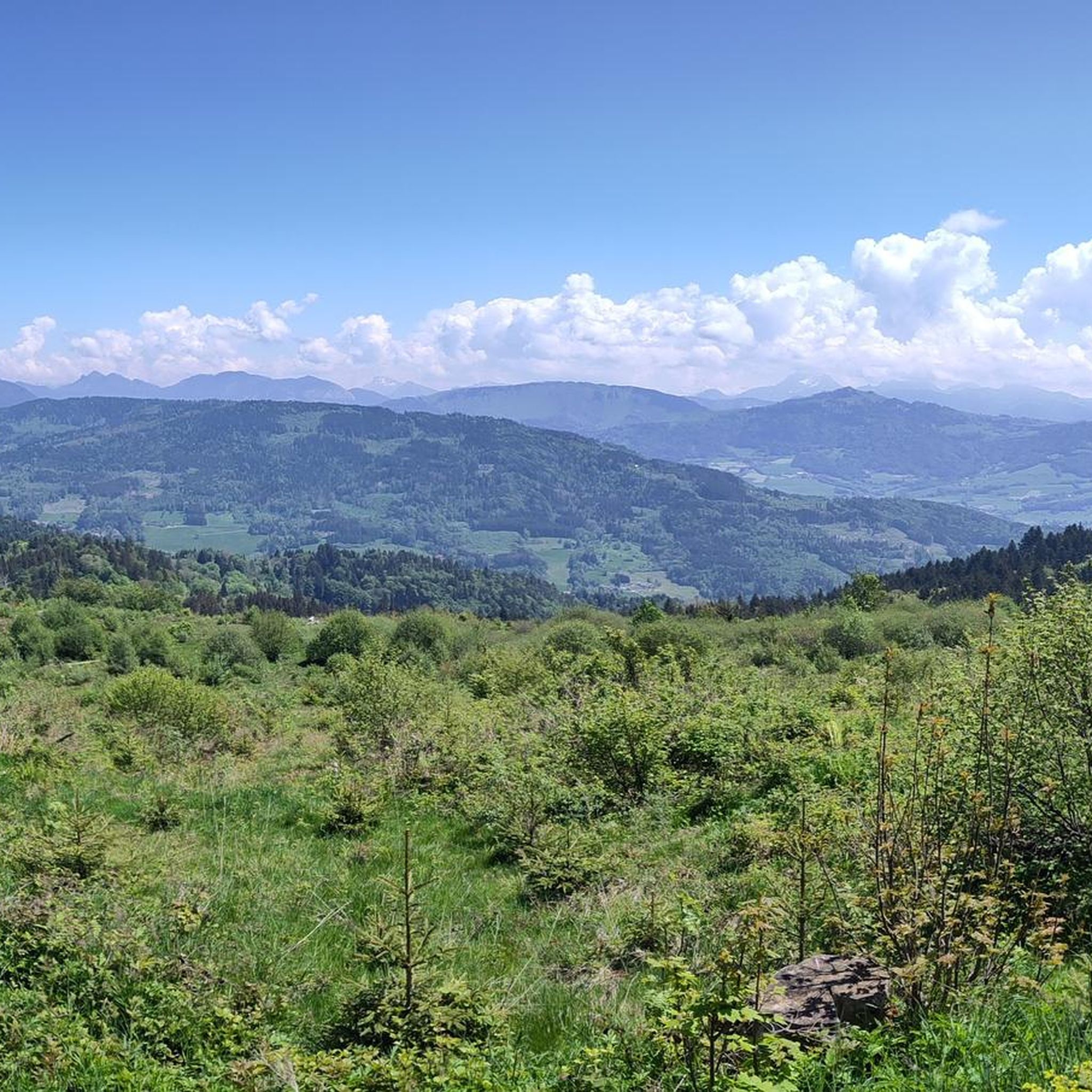
Best mountain peaks around Lucinges, a commune in Haute-Savoie, France, provide access to the Voirons massif and offer diverse outdoor experiences. This region is characterized by its mountainous terrain, providing panoramic views of the Alps, the Jura, and Mont Blanc on clear days. Lucinges serves as a starting point for exploring these natural features, which include well-maintained trails through forests and rewarding summit viewpoints.
Best mountain peaks around Lucinges
- The most popular mountain peaks is Pointe de Miribel, a…
Last updated: September 27, 2026
Téléphérique du Salève
Highlight • Summit
Translated by Google •
Tip by

Pointe des Brasses
Highlight • Summit
Les Brasses …
Translated by Google •
Tip by

Sign up now to discover places like this
Get recommendations on the best single tracks, peaks, & plenty of other exciting outdoor places.
Signal of the Voirons
Highlight • Summit
On a clear day, the views towards Lake Geneva or the mountains are phenomenal.
Translated by Google •
Tip by

Pointe de Miribel
Highlight • Summit
Translated by Google •
Tip by

Downhills at Petit Salève
Highlight • Summit
Tip by

Sign up for free to discover even more peaks around Lucinges.
Already have an account?
Start today with a free account
Your next adventure awaits.
Tips from the Community

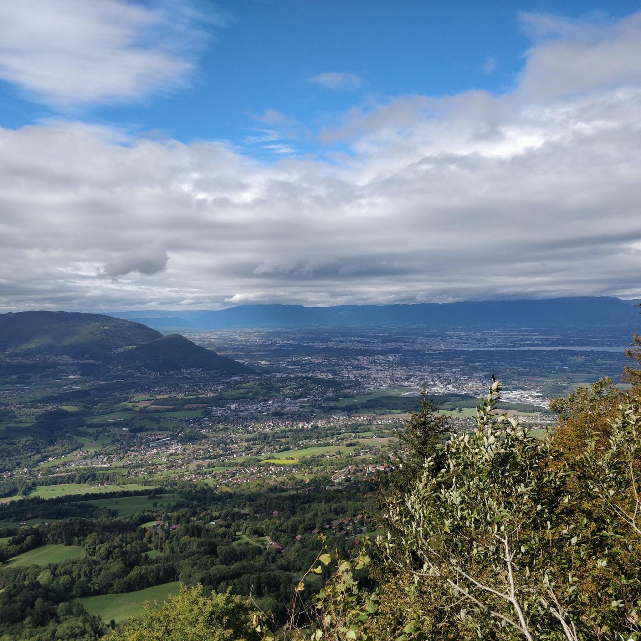
A beautiful view of Geneva, or rather, its clouds.
0
0


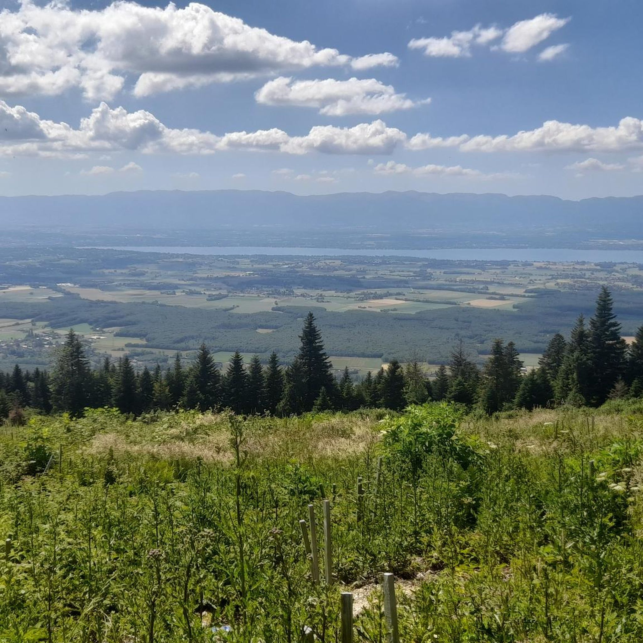
Cycling down from Salève, this breathtaking view of the Geneva region and the lake is the final reward of this demanding climb. You can dream for a long time in front of this landscape, or have a drink, stretch out on the lawn, and watch the paragliders fly just above. SUMMER SEASON | FROM APRIL 1, 2025 TO NOVEMBER 2, 2025 Open daily. Last ascent at 6:30 p.m. | Last descent at 6:45 p.m. Late openings on Thursdays, Fridays, and Saturdays: Last ascent at 10:30 p.m. | Last descent at 10:45 p.m. The 360° terrace closes at 6:30 p.m. Prices: €18 (adult) / €13 (reduced) / €6.50 (children)
0
0

Beautiful view of the Mont Blanc massif
0
0


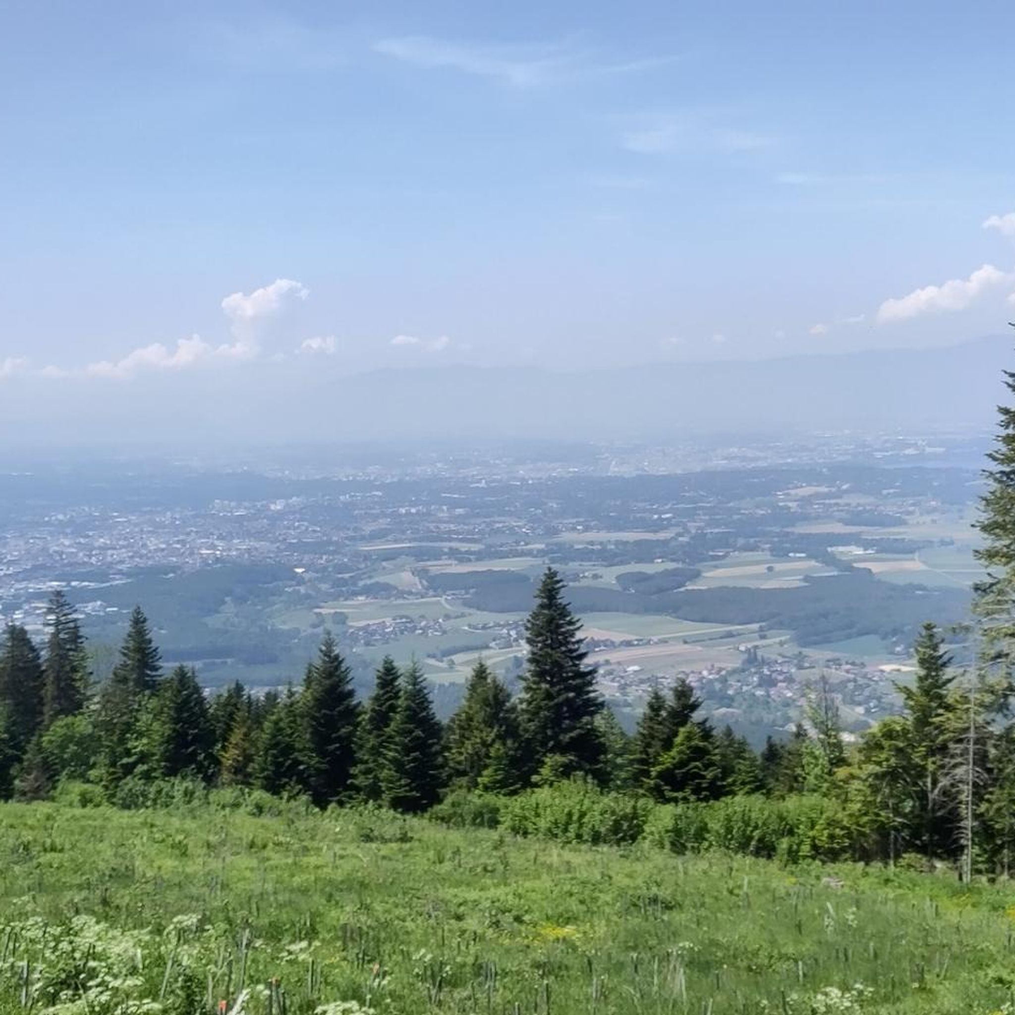
It can blow hard up there! I recommend the path that goes down to La Tour from the east
0
1

The cross means summit of the Brasse mountain
1
0

Pointe des Brasses is a summit of Haute-Savoie located in the Chablais massif, straddling the municipalities of Saint-Jeoire and Viuz-en-Sallaz, and culminating at 1,503 meters above sea level. Les Brasses is a toponym from a mountain pasture located above Viuz-en-Sallaz2. It could derive from the German Brache, which designates fallow or fallow land2,3, or from the Old German braka meaning “clearing”3. It is possible that it also derives from the Latin bracchium3 (“arm”), referring to the arms of the river, three of which have their source in Brasses: the Menoge, the Entreverges and Airets streams. In June 2013, a cross made by students from the Viuz-en-Sallaz Catholic Automobile School was erected on its summit. Six meters high, it is made up of 33 metal cubes measuring 30 centimeters on each side, assembled on site and arranged in a spiral by the students themselves. She was blessed on July 7, 2013 by Mgr Boivineau, Bishop of Annecy.
1
0
Frequently Asked Questions
Which mountain peaks near Lucinges offer the most impressive panoramic views?
For breathtaking panoramic views, the Le Signal des Voirons Summit is highly recommended. At 1,485 meters, it provides an exceptional panorama of the Alps, the Jura, and on clear days, Mont Blanc. Another excellent option is Téléphérique du Salève, accessible by cable car, offering stunning views of Geneva, Lake Geneva, and the Jura balconies.
Are there any family-friendly mountain peaks or trails around Lucinges?
Yes, Pointe de Miribel is known for being a great hike to do with the family. It's described as a very rewarding and easy-to-reach summit, making it suitable for various ages. The trails within the Voirons massif, leading to peaks like Signal des Voirons, also include more accessible paths.
What kind of natural features can I expect to see on the mountain peaks near Lucinges?
The mountain peaks around Lucinges are characterized by diverse natural beauty. You'll find trails winding through fir and beech forests, especially around the Voirons massif. From various summits, you can observe the Geneva Valley, Lake Geneva, and distant views of the majestic Mont Blanc and the Jura mountains.
What is the best time of year to visit the mountain peaks around Lucinges?
While specific seasonal advice isn't detailed, the region's trails through fir and beech forests suggest that spring, summer, and autumn would offer pleasant hiking conditions. Clear days are essential for enjoying the panoramic views of Mont Blanc and the surrounding Alps and Jura.
What outdoor activities, besides hiking, can I do near the mountain peaks of Lucinges?
The area around Lucinges is popular for various outdoor activities. Mountain biking is a significant draw, with spots like Downhills at Petit Salève offering challenging descents. You can also find numerous routes for road cycling and general cycling. For more details on routes, explore the MTB Trails around Lucinges or Road Cycling Routes around Lucinges guides.
Are there any specific hiking routes or loops recommended for the mountain peaks?
Yes, a popular moderate hike is the "Brantaz Peak – Signal of the Voirons loop from Lucinges," which takes approximately two hours. Another option is the "Le Pralère – Brantaz Peak loop from Les Crêts," covering 10.2 km with 500 meters of elevation gain. For mountain biking, the "Le Signal des Voirons Summit loop from Lucinges" is a moderate 24.7 km route. You can find more routes in the Cycling around Lucinges guide.
What makes the Signal des Voirons a particularly notable peak near Lucinges?
The Signal of the Voirons is notable for its exceptional 360-degree views stretching from Geneva to Mont Blanc on clear days. It culminates at 1,485 meters and features well-maintained trails through fir and beech forests, suitable for various skill levels. It's a popular spot for both hikers and mountain bikers seeking a rewarding experience and a contemplative break.
How accessible are the mountain peaks around Lucinges for different fitness levels?
The peaks around Lucinges cater to a range of fitness levels. While some trails, like those to the Signal of the Voirons, require good fitness and surefootedness, others are more accessible. For example, Pointe de Miribel is considered easy-to-reach, and Téléphérique du Salève offers summit access via cable car, making it very accessible.
What do visitors particularly enjoy about the mountain peaks experience near Lucinges?
Visitors frequently highlight the phenomenal and exceptional panoramic views, especially towards Lake Geneva, the Alps, the Jura, and Mont Blanc. The well-maintained trails through beautiful forests and the variety of options for different activities, from family hikes to challenging mountain bike descents, are also highly appreciated.
Are there any specific tips for hiking to the Signal des Voirons?
When hiking to the Signal of the Voirons, be aware that there are two signposts about 50 meters apart; one marks the top, and the other is a viewpoint with orientation panels. The climb starting from Pont de Fillinges is beautiful but requires good fitness and surefootedness. On a clear day, the views towards Lake Geneva and the mountains are truly phenomenal.
Can I reach any of the mountain peaks by means other than hiking?
Yes, the Téléphérique du Salève offers a convenient way to reach a summit by cable car. This allows visitors to enjoy the spectacular views of Geneva, Lake Geneva, and the Jura balconies without a strenuous climb.
Most popular routes around Lucinges
Most popular attractions around Lucinges

Get inspired with the komoot mobile app


Explore more
See even more amazing summits around Lucinges with these guides:
