The 20 Most Amazing Peaks around Saint-Christophe-Sur-Guiers
Mountain peaks around Saint-Christophe-Sur-Guiers are situated within the Chartreuse massif in the Isère department. This commune serves as a gateway to diverse mountain peaks, offering varied hiking and viewing opportunities. The area is characterized by its natural beauty and rich biodiversity. It provides access to notable summits that define the Chartreuse landscape.
Best mountain peaks around Saint-Christophe-Sur-Guiers
- The most popular mountain peaks is Chamechaude, a summit that is the highest peak of the Chartreuse massif at 2082 meters. It…
Last updated: October 9, 2026
Chamechaude
Highlight • Summit
Translated by Google •
Tip by

Dent de Crolles
Highlight • Summit
Translated by Google •
Tip by

Sign up now to discover places like this
Get recommendations on the best single tracks, peaks, & plenty of other exciting outdoor places.
Aulp du Seuil Pass
Highlight • Mountain Pass
Translated by Google •
Tip by
La Cochette Cross
Highlight • Summit
Translated by Google •
Tip by

Charmant Som summit
Highlight • Summit
Translated by Google •
Tip by
Sign up for free to discover even more peaks around Saint-Christophe-Sur-Guiers.
Already have an account?
Start today with a free account
Your next adventure awaits.
Popular around Saint-Christophe-Sur-Guiers
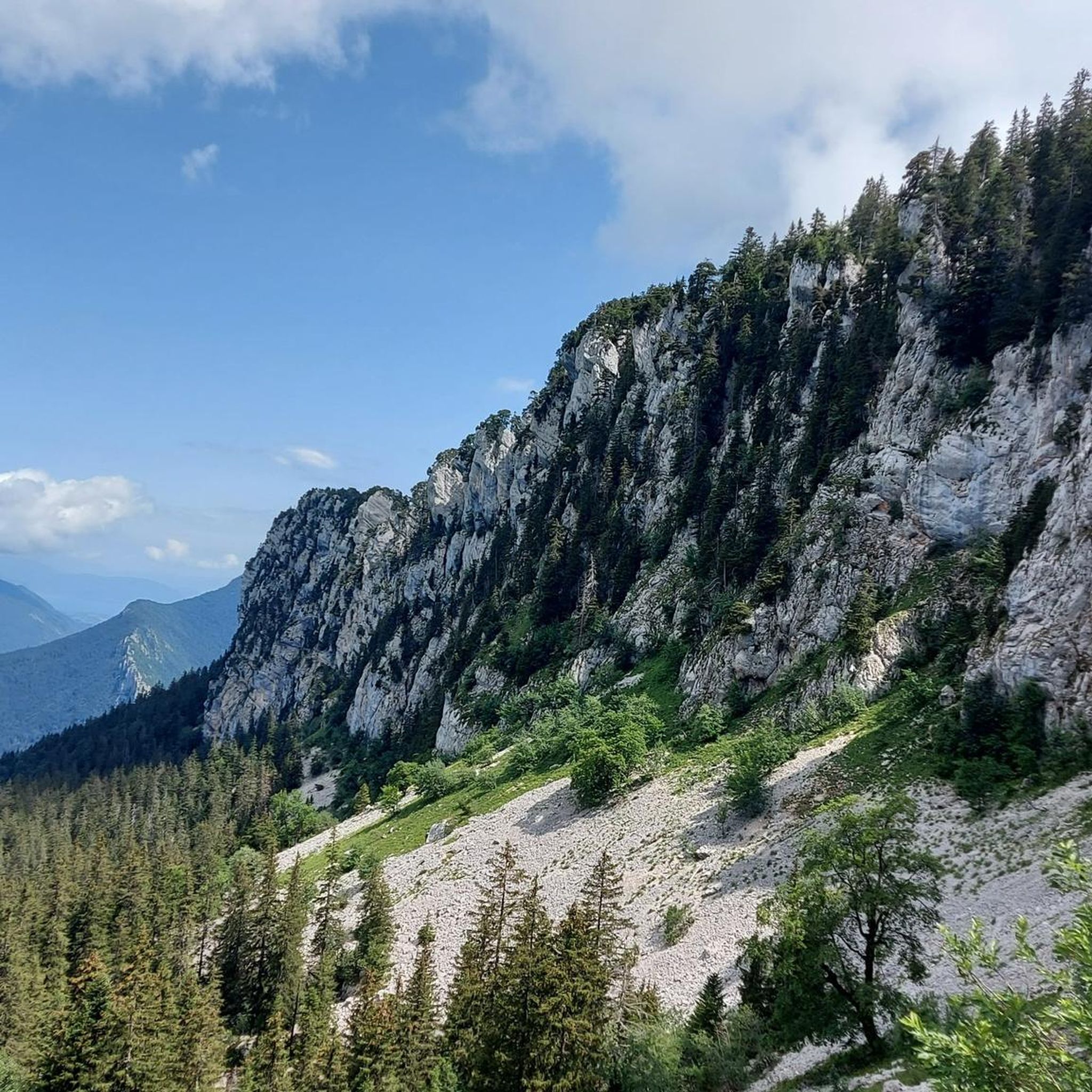
Hiking around Saint-Christophe-Sur-Guiers
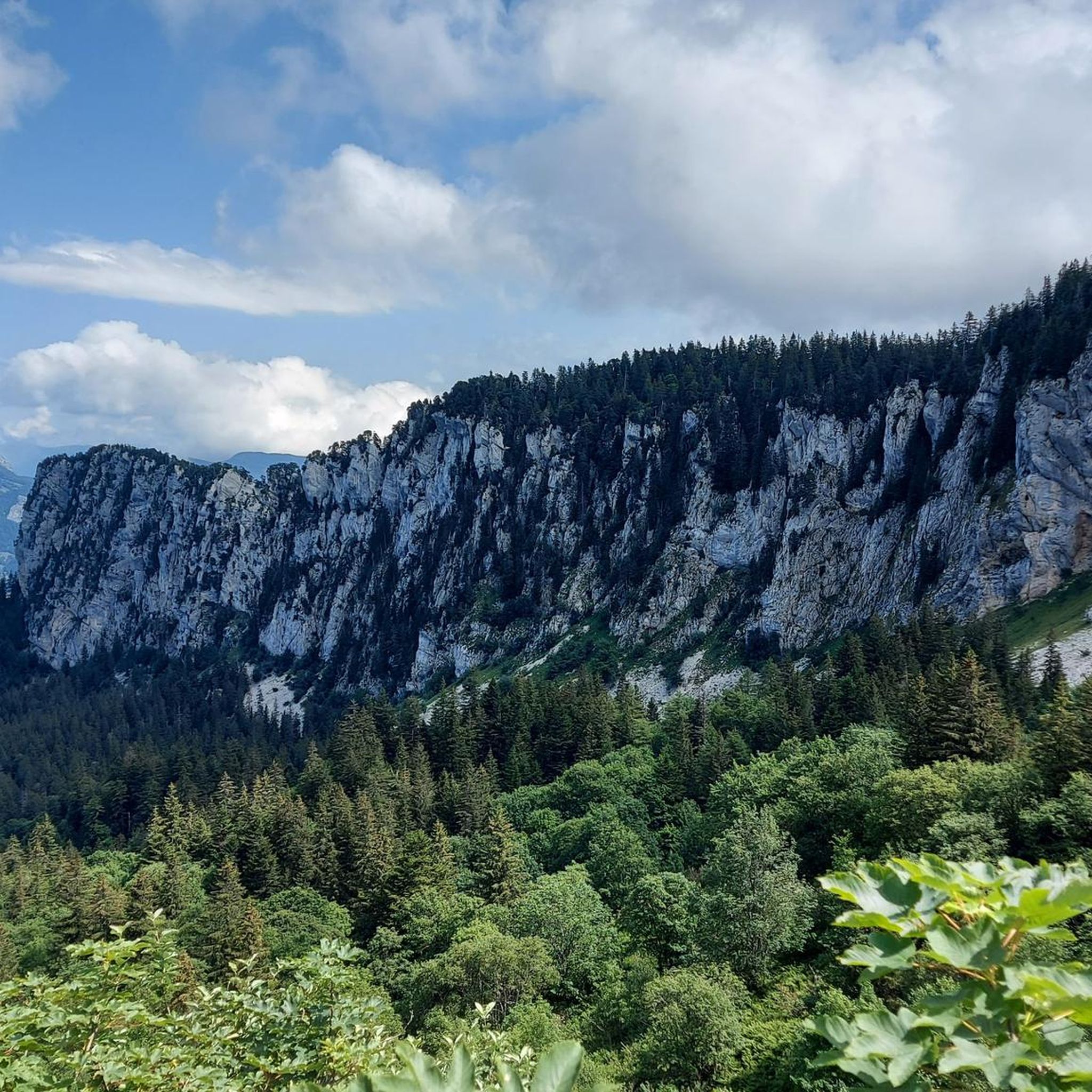
Cycling around Saint-Christophe-Sur-Guiers
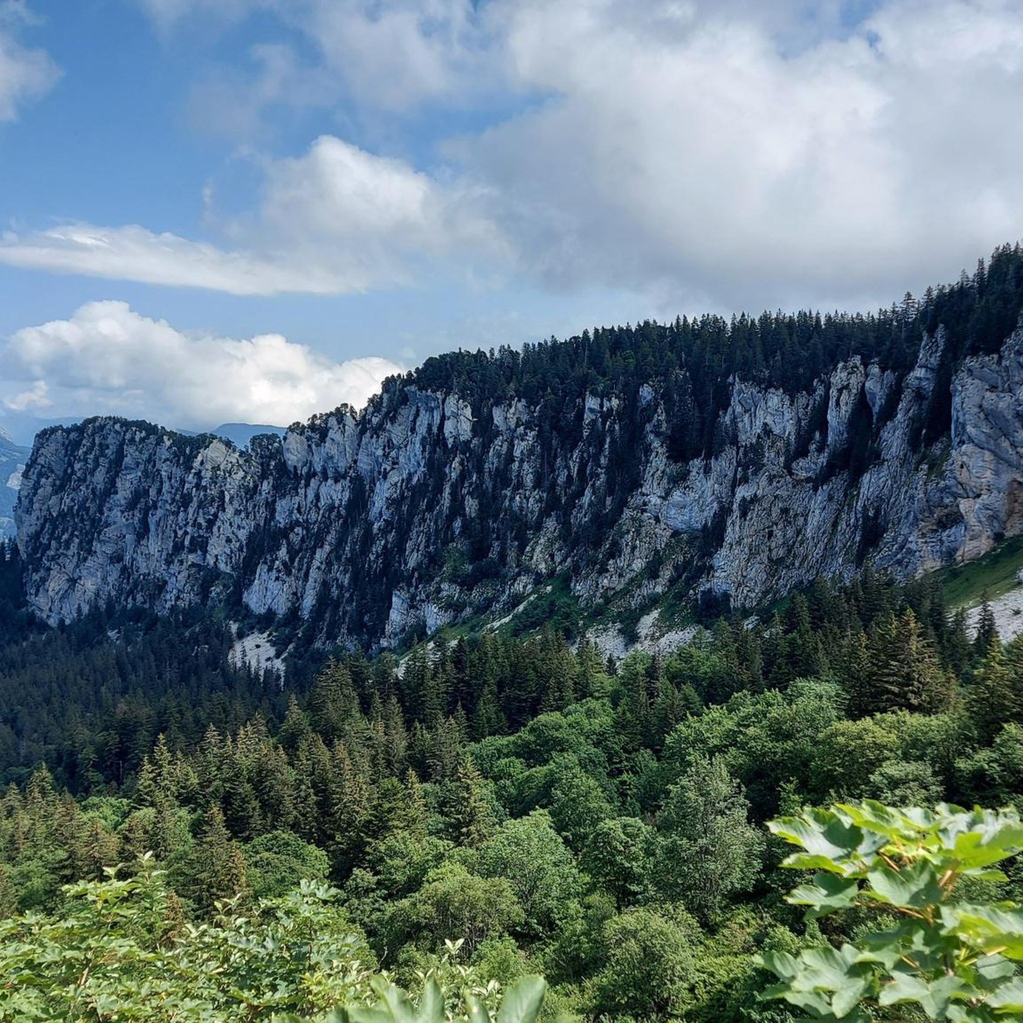
Road Cycling Routes around Saint-Christophe-Sur-Guiers
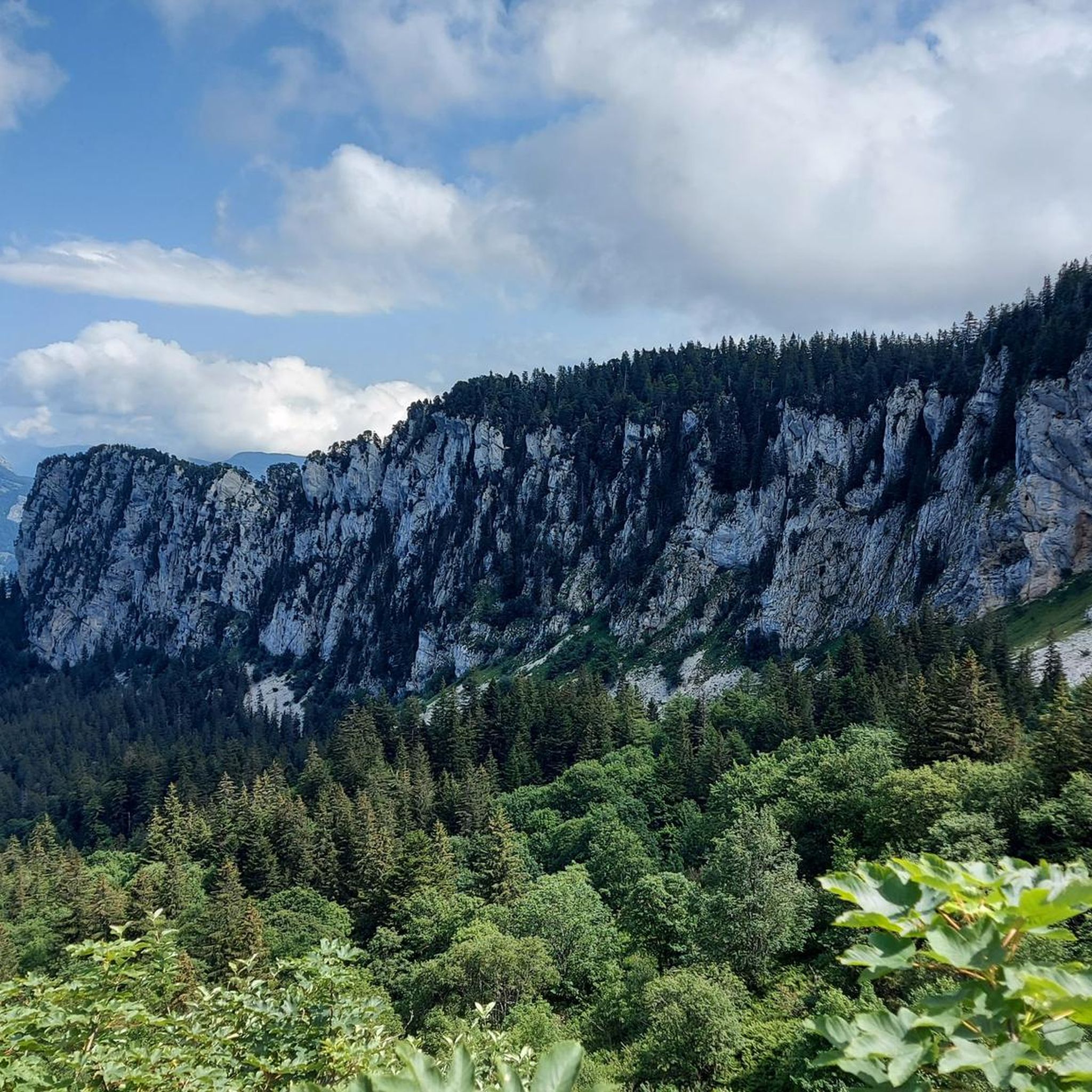
MTB Trails around Saint-Christophe-Sur-Guiers
Mountain Hikes around Saint-Christophe-Sur-Guiers
Running Trails around Saint-Christophe-Sur-Guiers
Gravel biking around Saint-Christophe-Sur-Guiers
Tips from the Community

The Dent de Crolles, at 2,062 meters, is one of the best-known peaks in the Chartreuse. This distinctive limestone mountain towers high above the surrounding area and offers, on a clear day, a magnificent view over the Alps and the Grenoble valley. The hike there leads through varied mountain meadows, rocky terrain, and impressive limestone landscapes. A strenuous climb, but the views and the special atmosphere of the Chartreuse make it absolutely worthwhile.
0
0


Magnificent view of the heart of the Chartreuse region, the plain of St. Laurent du Pont, and Mont Blanc in the background, seemingly within arm's reach. The access path via the ridge that connects to Outheran is very straightforward. The climb from St. Jean de Couz on the SW side is quite complicated. The path is barely visible and rather difficult to follow on a very steep face. The final section leads up a very steep couloir, through a slippery and unstable scree slope. Furthermore, the exposure to falling rocks is quite significant; extreme caution is required (helmet recommended). The final section consists of short climbing sections and very steep ascents in fairly exposed grassy terrain (fairly straightforward, but exposed).
1
0

The cross of the Aulp du seuil is located at 1825m above the cirque and marks the entrance to the high plateaus.
0
0

A stunning summit with views of Mont Blanc. The two climbs from the Col des Ayes are relatively steep, but steel cables are installed at the more dangerous sections. The climb north via the Trou du Glaz is a bit longer and a bit easier. The climb east is a bit steeper and more exposed. The view is good, though.
1
0

Great hike! Make sure you have good shoes with crampons because some slopes are a bit slippery. Magnificent view at the top.
0
0

on private property, with no-entry signs, especially at hunting time
0
0

Very beautiful panorama of the Chartreuse seen from the north-west, with Mont-Blanc in focus to the north-east, the Belledonne massif behind the Chartreuse and the foothills of the Vercors to the south, as far as Obiou which can be seen when the weather is nice. And all after a short climb, with a few slightly steep passages however...
0
0
Frequently Asked Questions
What are some of the most notable mountain peaks in the Chartreuse massif accessible from Saint-Christophe-sur-Guiers?
The Chartreuse massif, near Saint-Christophe-sur-Guiers, features several prominent peaks. Among them are Chamechaude, the highest point at 2,082 meters; Dent de Crolles, the second highest at 2,062 meters; and Charmant Som summit, an emblematic peak at 1,867 meters. Other significant peaks include La Grande Sure (1,920m), Le Petit Som (1,772m), and Mont Beauvoir, which is visible directly from Saint-Christophe-sur-Guiers.
Which mountain peaks offer the best panoramic views in the region?
For breathtaking panoramas, Chamechaude offers an exceptional 360-degree view, extending to the highest Alpine peaks on clear days. Dent de Crolles provides a vast panorama of the southern Chartreuse, the Belledonne massif, and the Grésivaudan valley. The Charmant Som summit also rewards visitors with a spectacular panorama, and La Grande Sure offers superb views dominating the western part of the massif.
Are there any challenging mountain peaks for experienced hikers near Saint-Christophe-sur-Guiers?
Yes, for experienced hikers seeking a challenge, Dent de Crolles is known for a more technical ascent, including sections with chains. Chamechaude also features a short, wired 5-meter climb to reach its summit, adding a technical element to the highest peak in the Chartreuse.
What are some easier or family-friendly mountain hikes in the Chartreuse massif?
For easier or family-friendly options, the ascent to the Charmant Som summit is considered to be without major difficulty, especially starting from the inn accessible by car. La Cochette Cross is also highlighted as an excellent hike for families, offering a pretty summit at 1,621 meters.
What is the highest mountain peak in the Chartreuse massif and what can I expect there?
The highest peak in the Chartreuse massif is Chamechaude, standing at 2,082 meters. From its summit, you can expect exceptional 360-degree views of the entire region, potentially extending to the highest Alpine peaks on clear days. The area is also rich in diverse fauna and flora, making it a rewarding destination for nature lovers.
What kind of terrain and elevation can I expect when hiking Chamechaude?
Chamechaude, at 2,082 meters, is the highest peak in the Chartreuse. The terrain involves a rewarding ascent, easily accessible from the Col de Porte. While generally manageable, there is a short, wired 5-meter climb to reach the very top, offering an exceptional 360-degree view.
What is the best time of year to visit the mountain peaks around Saint-Christophe-sur-Guiers for hiking?
The best time for hiking the mountain peaks around Saint-Christophe-sur-Guiers is typically from late spring to early autumn (May to October). During these months, the weather is generally more favorable, with less snow at higher elevations and pleasant temperatures for outdoor activities. Always check local weather conditions before heading out.
Are there opportunities for winter activities near the mountain peaks of Saint-Christophe-sur-Guiers?
Yes, the area around Saint-Christophe-sur-Guiers offers winter activities. The Col de la Ruchère, located within the commune, features a Nordic center with cross-country ski trails and snowshoeing itineraries. These trails range in difficulty and lead to scenic meadows like Les Riondettes and Arpison.
Where can I find parking for hiking trails in the Saint-Christophe-sur-Guiers mountains?
Many hiking trails in the Chartreuse massif are accessible from various points with designated parking. For instance, Chamechaude is easily accessible from the Col de Porte. The Charmant Som summit can be reached from an inn of the same name, which is accessible by car and likely offers parking. The Col de la Ruchère also serves as a significant starting point for several routes, implying parking availability.
What natural features and viewpoints can be found near Saint-Christophe-sur-Guiers?
Beyond the peaks themselves, the region offers diverse natural features. The Col de la Ruchère provides excellent viewpoints of Chamechaude, Grand Som, and Petit Som. The "Tour des Riondettes" hike, starting from La Ruchère, leads through dense forests and offers a splendid belvedere over the Guiers river valley. The geological formations of Mont Beauvoir, with its double hinge (anticline-syncline), are also a notable natural feature.
Are there any specific hiking routes or trails recommended for exploring the area?
Yes, the area offers various routes. From the Col de la Ruchère, you can embark on intimate routes with views of Chamechaude, Grand Som, and Petit Som. The "Tour des Riondettes" is a recommended hike through the heart of the Chartreuse forest, offering varied landscapes and panoramic views. For specific peak ascents, routes to Chamechaude (from Col de Porte) and Charmant Som summit (from the inn) are popular.
What makes the Chartreuse massif around Saint-Christophe-sur-Guiers appealing to visitors?
Visitors are drawn to the Chartreuse massif for its breathtaking views, diverse hiking trails catering to different skill levels, and the opportunity to experience the natural beauty and rich biodiversity of the Chartreuse Regional Natural Park. The variety of mountain peaks, from challenging ascents like Dent de Crolles to more moderate hikes like Charmant Som summit, ensures diverse experiences.
Most popular routes around Saint-Christophe-Sur-Guiers
Most popular attractions around Saint-Christophe-Sur-Guiers

Get inspired with the komoot mobile app


Explore more
See even more amazing summits around Saint-Christophe-Sur-Guiers with these guides:
